Abbotsley Downs

Wood, Forest in Huntingdonshire Huntingdonshire

England

Abbotsley Downs

St Margarets Church - Abbotsley Photo taken after the two huge chestnut trees were cut back to reveal the Church in all its splendour. The church has undergone a long period of restoration bringing it back from near dereliction.
St Margarets Church - Abbotsley Credit: Steve Jaikens

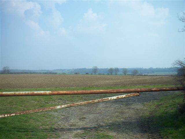
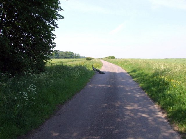
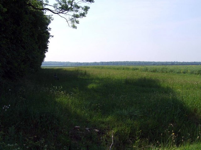
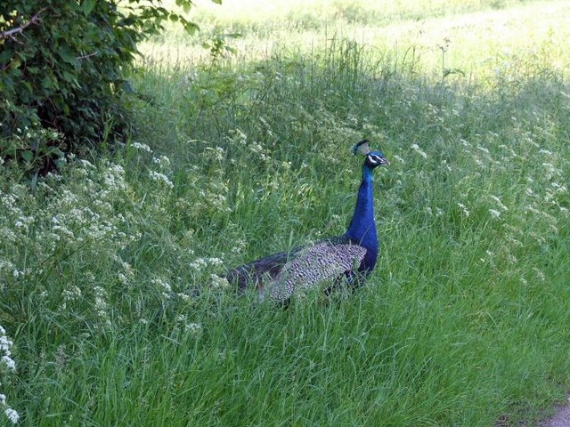
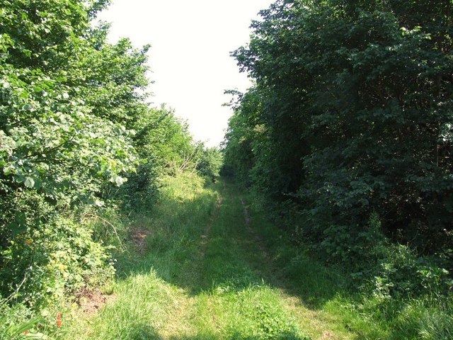
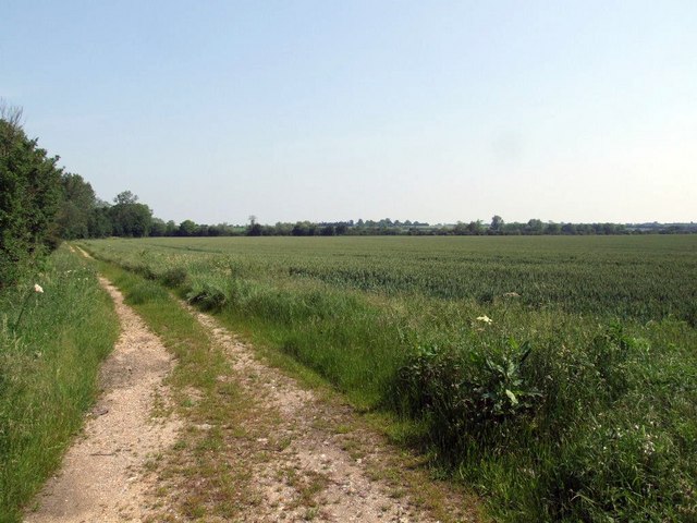
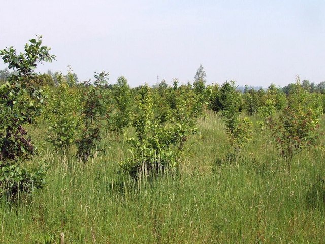
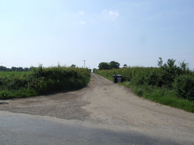
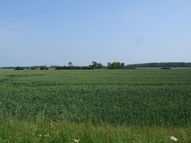
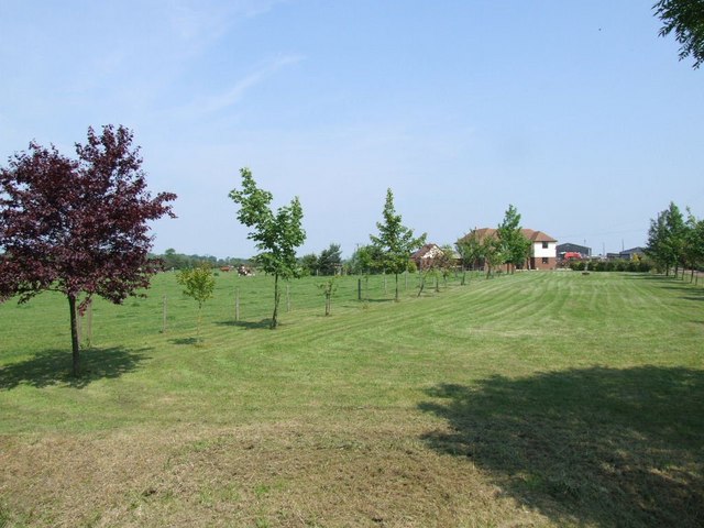
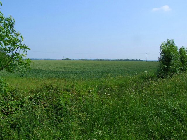
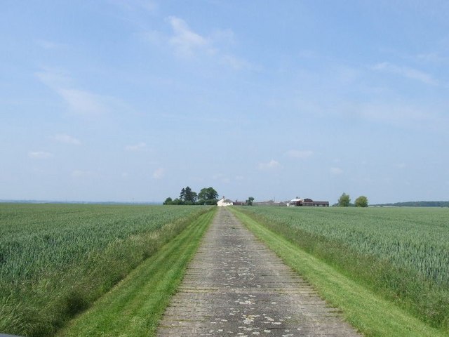
Abbotsley Downs is a picturesque area located in Huntingdonshire, England. This woodland forest is known for its tranquil and serene atmosphere, making it a popular destination for nature lovers and hikers. The forest is home to a variety of flora and fauna, including oak trees, birch trees, and various species of birds and wildlife.

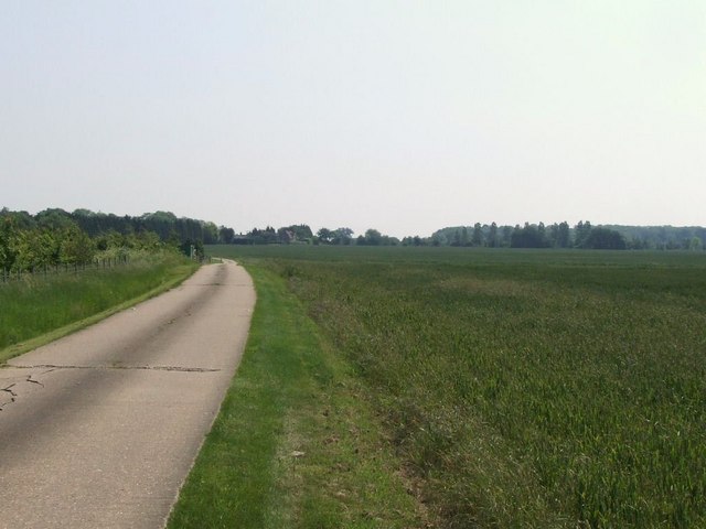
Abbotsley Downs offers visitors the chance to explore its winding trails and paths, which lead through the dense forest and open up to stunning views of the surrounding countryside. The area is also home to a number of historic sites, including ancient ruins and remnants of old settlements.

Visitors to Abbotsley Downs can enjoy a peaceful day out in nature, surrounded by the sights and sounds of the forest. Whether it's a leisurely stroll through the woods or a more adventurous hike, Abbotsley Downs offers something for everyone to enjoy. With its natural beauty and rich history, Abbotsley Downs is a must-visit destination for anyone looking to escape the hustle and bustle of everyday life.

If you have any feedback on the listing, please let us know in the comments section below.

Abbotsley Downs Images

Images are sourced within 2km of 52.190706/-0.22732493 or Grid Reference TL2156. Thanks to Geograph Open Source API. All images are credited.

St Margarets Church - Abbotsley Photo taken after the two huge chestnut trees were cut back to reveal the Church in all its splendour. The church has undergone a long period of restoration bringing it back from near dereliction.
St Margarets Church - Abbotsley
Photo taken after the two huge chestnut trees were cut back to reveal the Church in all its splendour. The church has undergone a long period of restoration bringing it back from near dereliction.
New Row - High Street - Abbotsley The farthest end dwelling was the Butchers and Grocers and the Post Office. It is now a house.
New Row - High Street - Abbotsley
The farthest end dwelling was the Butchers and Grocers and the Post Office. It is now a house.
Carved wooden Village Sign This wooden Sign was donated by the Abbotsley Society in 1984 and is situated at Eight Bells corner. (Opposite the pub of the same name)
Carved wooden Village Sign
This wooden Sign was donated by the Abbotsley Society in 1984 and is situated at Eight Bells corner. (Opposite the pub of the same name)
Village Hall - Abbotsley Above the door is a sign proclaiming "Best kept Village 1993"
Village Hall - Abbotsley
Above the door is a sign proclaiming "Best kept Village 1993"
Farmland
Farmland
Why did the peacock cross the road? Peacock on the back road between Waresley and Abbotsley.
Why did the peacock cross the road?
Peacock on the back road between Waresley and Abbotsley.
looking south east next to Langlands Plantation. Spot the peacock.
looking south east next to Langlands Plantation.
Spot the peacock.
Peacock by the road.
The long drive to Manor Farm
RUPP through Hail Lane Plantation
Track towards Hen Brook
The driveway to Abbotsley Hotel, Golf and Country Club
A new wood, next to the driveway to Abbotsley Hotel
The driveway to Highfield Farm
Field across the road from Highfield Farm
Southwood Farm These large farm buildings don't appear on the 50K OS map.
Southwood Farm
These large farm buildings don't appear on the 50K OS map.
Field near Southwood Farm
Driveway to New farm
Show me another place!

Abbotsley Downs is located at Grid Ref: TL2156 (Lat: 52.190706, Lng: -0.22732493)

Administrative County: Cambridgeshire

District: Huntingdonshire

Police Authority: Cambridgeshire

What 3 Words

///transmitted.tweezers.wire. Near Little Barford, Bedfordshire

Related Wikis

Eynesbury Hardwicke

Eynesbury Hardwicke is a former civil parish, now in the parishes of Abbotsley and St Neots, in the Huntingdonshire part of Cambridgeshire, England. At...
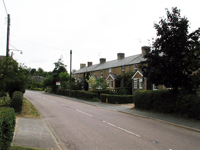
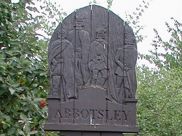
Abbotsley

Abbotsley is a village and civil parish within the Huntingdonshire district of Cambridgeshire, England. It is three miles from St Neots and 14 miles from...

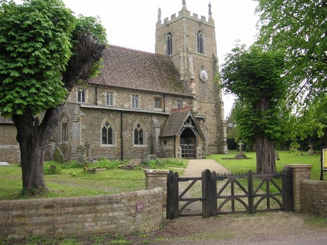
St Margaret's Church, Abbotsley

St Margaret's Church is a historic Anglican church in the village of Abbotsley, Cambridgeshire, England. It is recorded in the National Heritage List...

Weaveley and Sand Woods

Weaveley and Sand Woods is a 62.0-hectare (153-acre) biological Site of Special Scientific Interest north of Gamlingay in Cambridgeshire.This site has...

Nearby Amenities

Located within 500m of 52.190706,-0.22732493
Eynesbury Hardwicke
Place: locality
Lat/Long: 52.193182/-0.2320275
Power: pole
Lat/Long: 52.1916188/-0.2341147
Power: pole
Lat/Long: 52.1913264/-0.2328184
Power: pole
Lat/Long: 52.1879835/-0.2250854
Power: pole
Lat/Long: 52.1874523/-0.2238142
Power: pole
Lat/Long: 52.1907362/-0.2315041
Power: pole
Lat/Long: 52.1901673/-0.2302005
Power: pole
Lat/Long: 52.1885154/-0.2263497
Power: pole
Lat/Long: 52.1890694/-0.2276559
Power: pole
Lat/Long: 52.1942449/-0.2243131
Power: pole
Lat/Long: 52.1943995/-0.226939
Power: pole
Lat/Long: 52.1941628/-0.2228486
Power: pole
Lat/Long: 52.1943239/-0.2256247
Power: pole
Lat/Long: 52.1946636/-0.2307565
Power: pole
Lat/Long: 52.1945754/-0.229428
Power: pole
Lat/Long: 52.1944554/-0.2280949
The data included in this document is from www.openstreetmap.org. The data is made available under ODbL.

Have you been to Abbotsley Downs?

Leave your review of Abbotsley Downs below (or comments, questions and feedback).