Langham Plantation
Wood, Forest in Yorkshire
England
Langham Plantation

Langham Plantation is a picturesque and sprawling woodland located in Yorkshire, England. Covering a vast area, it is renowned for its dense forest, rich biodiversity, and stunning natural beauty. The plantation is situated in the heart of the Yorkshire countryside, surrounded by rolling hills and meandering streams, making it an ideal destination for nature enthusiasts and outdoor adventurers.
The woodland is predominantly made up of a variety of tree species, including oak, beech, and birch, which create a lush and vibrant canopy. The forest floor is covered with a carpet of wildflowers, ferns, and moss, adding to the enchanting atmosphere of the plantation. The diverse ecosystem supports a wide range of wildlife, including deer, foxes, squirrels, and a plethora of bird species, making it a haven for birdwatching enthusiasts.
Visitors to Langham Plantation can enjoy a number of activities and amenities. There are well-maintained walking trails that wind through the woodland, allowing visitors to explore the plantation at their own pace. These trails offer breathtaking views of the surrounding landscape and provide opportunities for peaceful contemplation and relaxation.
The plantation also features picnic areas and designated camping spots, making it a popular destination for families and outdoor enthusiasts looking to immerse themselves in nature. Additionally, Langham Plantation is home to a visitor center where guests can learn about the history and ecology of the woodland through informative exhibits and displays.
Overall, Langham Plantation is a captivating destination that showcases the natural beauty of Yorkshire. With its lush forests, diverse wildlife, and tranquil atmosphere, it offers a unique and unforgettable experience for all who visit.
If you have any feedback on the listing, please let us know in the comments section below.
Langham Plantation Images
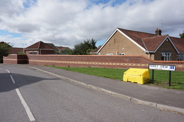
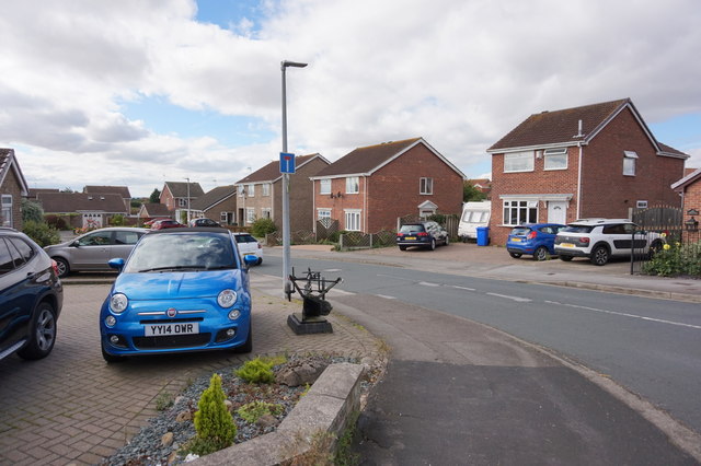
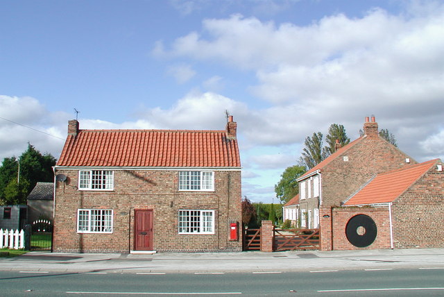
Images are sourced within 2km of 53.730598/-0.16335707 or Grid Reference TA2127. Thanks to Geograph Open Source API. All images are credited.


Langham Plantation is located at Grid Ref: TA2127 (Lat: 53.730598, Lng: -0.16335707)
Division: East Riding
Unitary Authority: East Riding of Yorkshire
Police Authority: Humberside
What 3 Words
///wobbling.liquids.drip. Near Thorngumbald, East Yorkshire
Nearby Locations
Related Wikis
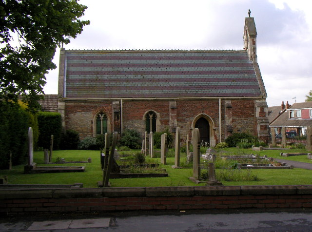
Thorngumbald
Thorngumbald is a village and civil parish in the East Riding of Yorkshire, England, in an area known as Holderness, 8 miles (13 km) east of Hull on the...
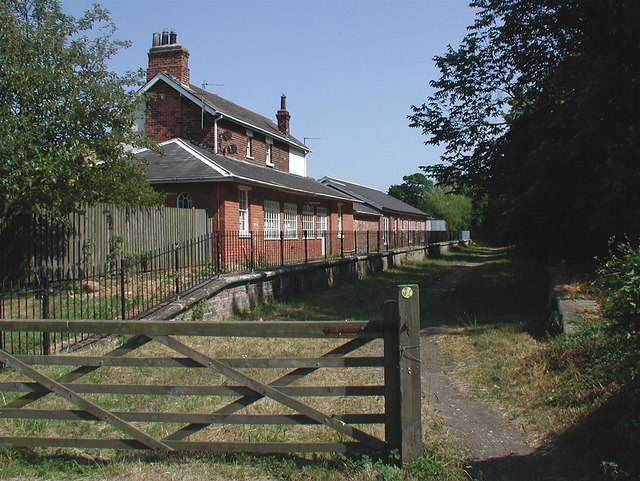
Rye Hill and Burstwick railway station
Rye Hill and Burstwick railway station is a disused railway station on the North Eastern Railway's Hull and Holderness Railway midway between Burstwick...
Camerton, East Riding of Yorkshire
Camerton is a hamlet in the East Riding of Yorkshire, England, in an area known as Holderness. It is situated approximately 7 miles (11 km) east of Hull...
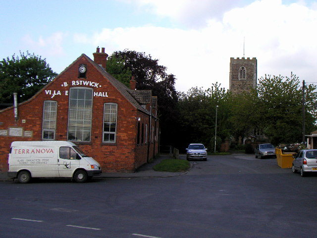
Burstwick
Burstwick is a village and civil parish in the Holderness region of the East Riding of Yorkshire, England. It is situated about 8 miles (13 km) east of...
Nearby Amenities
Located within 500m of 53.730598,-0.16335707Have you been to Langham Plantation?
Leave your review of Langham Plantation below (or comments, questions and feedback).