Gell-spring Plantation
Wood, Forest in Yorkshire
England
Gell-spring Plantation
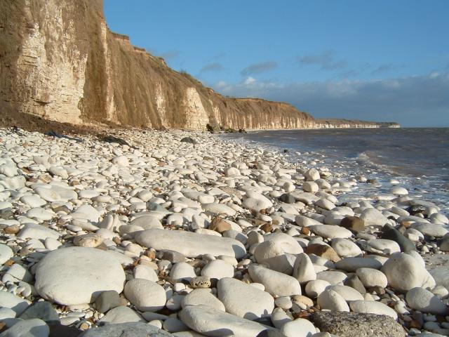
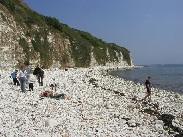
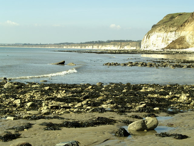
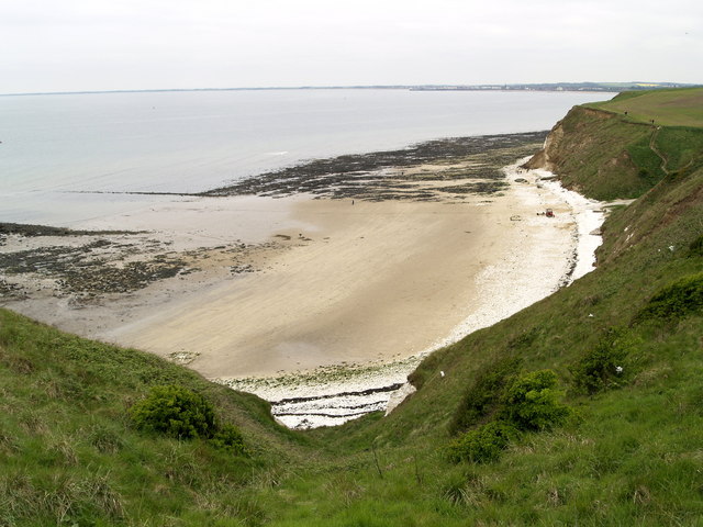
Gell-spring Plantation is a picturesque woodland located in the county of Yorkshire, England. Situated in the heart of the Yorkshire Dales National Park, this plantation covers a vast area of land, encompassing dense forests and sprawling meadows. The plantation is well-known for its ancient oak trees, which provide a majestic canopy over the entire area.
The woodland is home to a diverse range of flora and fauna, making it a haven for nature enthusiasts and wildlife lovers alike. The forest floor is carpeted with an array of wildflowers, creating a vibrant and colorful landscape during the spring and summer months. Additionally, the plantation is home to numerous species of birds, including woodpeckers and owls, providing a symphony of sounds to accompany visitors on their explorations.
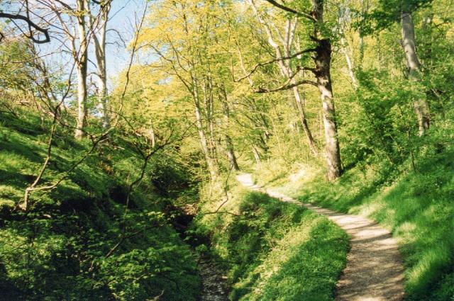
Gell-spring Plantation offers several walking trails and paths, which allow visitors to fully immerse themselves in the natural beauty of the area. These trails vary in difficulty, catering to both casual strollers and avid hikers. Along the routes, visitors can encounter hidden streams, cascading waterfalls, and breathtaking viewpoints, providing opportunities for peaceful reflection and stunning photography.
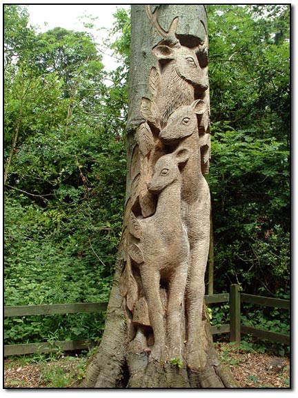
Furthermore, the plantation has a rich history, dating back several centuries. It was once a prominent hunting ground for the local aristocracy and was later transformed into a timber plantation. Today, remnants of this history can still be found, including the ruins of a former hunting lodge.
Gell-spring Plantation truly offers a tranquil escape from the hustle and bustle of modern life, allowing visitors to reconnect with nature and experience the beauty of the Yorkshire countryside.
If you have any feedback on the listing, please let us know in the comments section below.
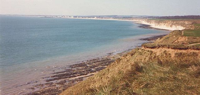
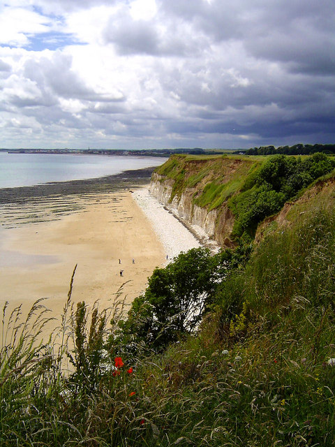
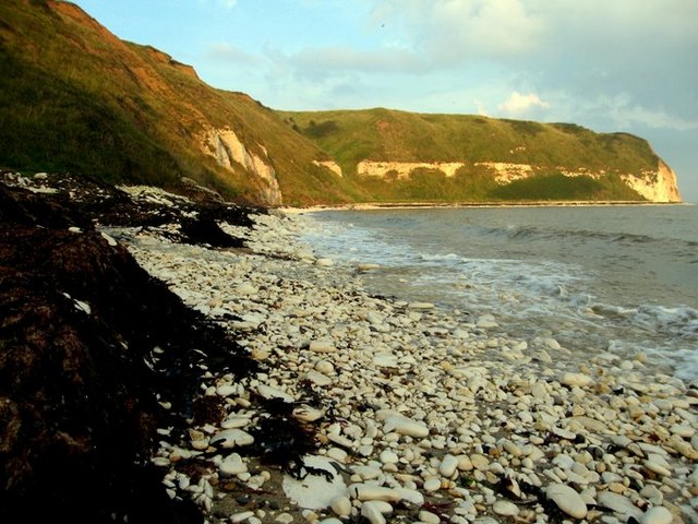
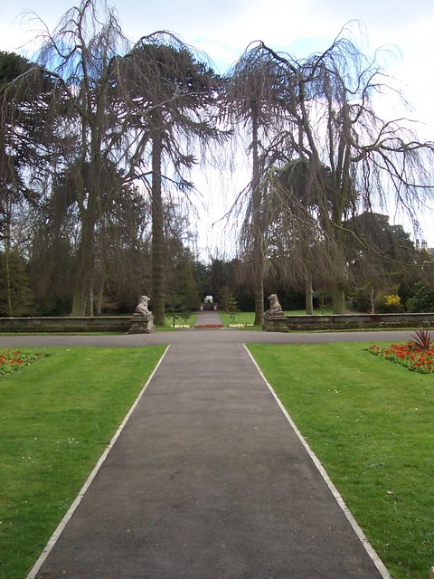
Gell-spring Plantation Images
Images are sourced within 2km of 54.110338/-0.14642751 or Grid Reference TA2169. Thanks to Geograph Open Source API. All images are credited.


Gell-spring Plantation is located at Grid Ref: TA2169 (Lat: 54.110338, Lng: -0.14642751)
Division: East Riding
Unitary Authority: East Riding of Yorkshire
Police Authority: Humberside
What 3 Words
///orchestra.windmill.toddler. Near Flamborough, East Yorkshire
Related Wikis

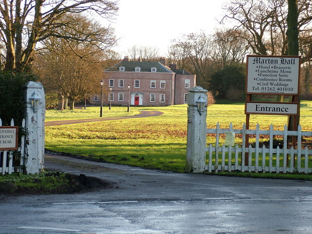
Sewerby Hall
Sewerby Hall (also known as Sewerby House) is a Grade I listed Georgian country house set in 50 acres (20 ha) of landscaped gardens in the village of Sewerby...

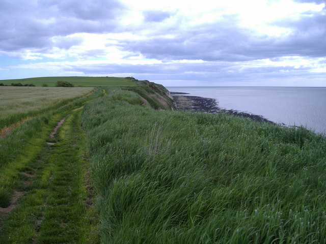
Flamborough
Flamborough is a village and civil parish in the East Riding of Yorkshire, England. It is situated approximately 4 miles (6 km) north-east of Bridlington...

Flamborough railway station
Flamborough railway station was located in the village of Marton, and was originally named after that location. However, there were several other railway...

Sewerby
Sewerby is a village in the East Riding of Yorkshire, England approximately 1 mile (1.6 km) north-east of Bridlington on the North Sea coast. The village...

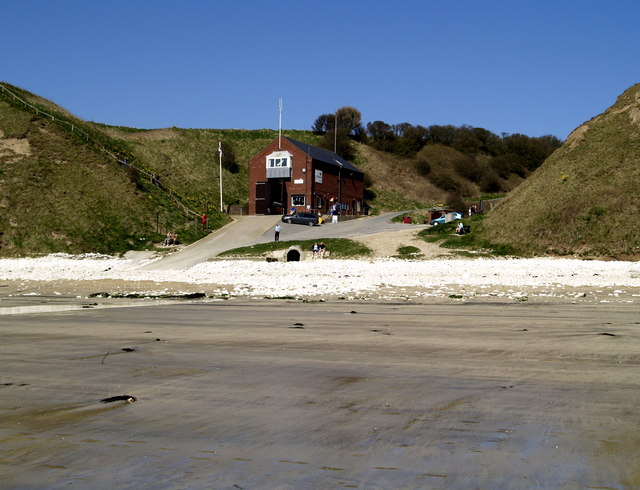
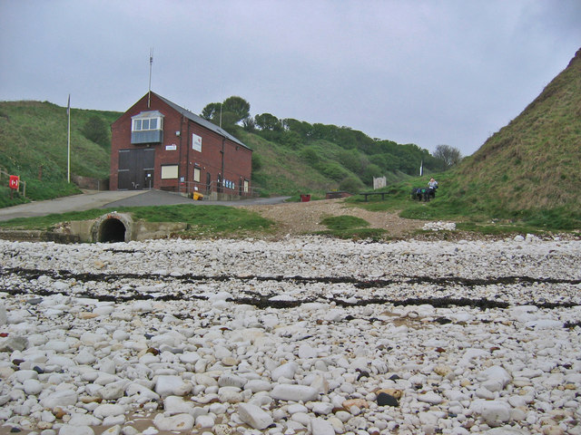
Flamborough Lifeboat Station
Flamborough Lifeboat Station is a Royal National Lifeboat Institution (RNLI) lifeboat station located at Flamborough in the East Riding of Yorkshire, England...

Headlands School
Headlands School is a coeducational comprehensive school situated on Sewerby Road near the B1255, Bridlington, East Riding of Yorkshire, England. The school...
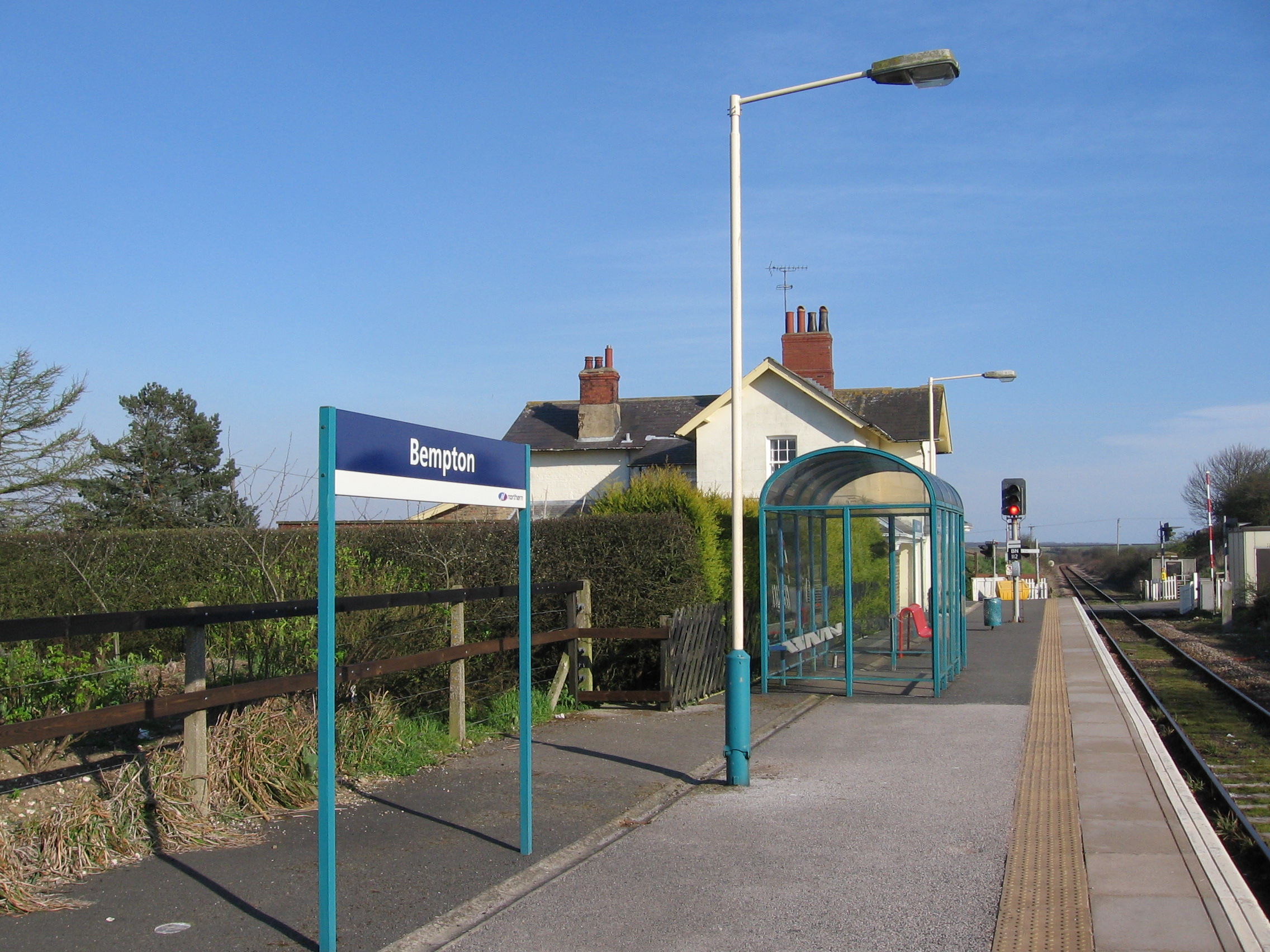
Bempton railway station
Bempton railway station serves the village of Bempton in the East Riding of Yorkshire, England. It is located on the Yorkshire Coast Line and is operated...

Bempton
Bempton is a village and civil parish in the East Riding of Yorkshire, England, near the border with North Yorkshire. It is near the North Sea coast and...
Nearby Amenities
Located within 500m of 54.110338,-0.14642751Have you been to Gell-spring Plantation?
Leave your review of Gell-spring Plantation below (or comments, questions and feedback).