Acorn Wood

Wood, Forest in Surrey Mole Valley

England

Acorn Wood

Oaklands Park Farm, Between Rusper (W Sussex) and Charlwood (Surrey) Viewed from the public road running to the east of the farm. A livestock farm.
Oaklands Park Farm, Between Rusper (W Sussex) and Charlwood (Surrey) Credit: Pete Chapman

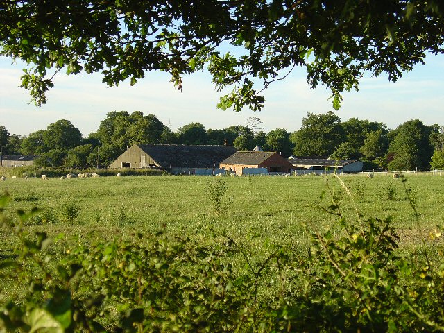
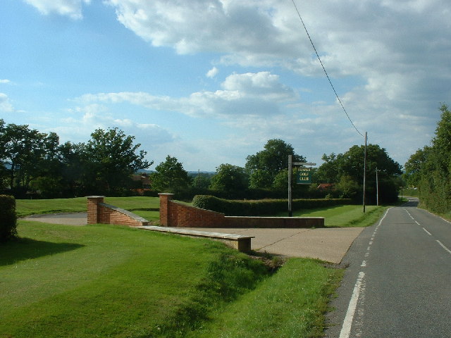
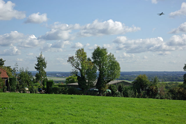
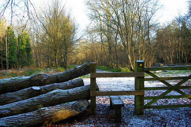
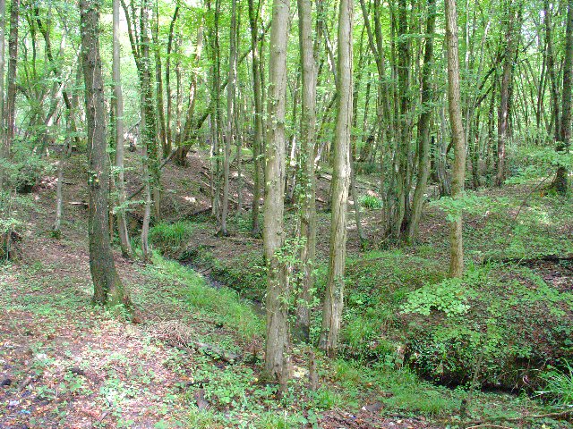
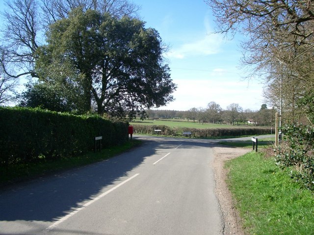
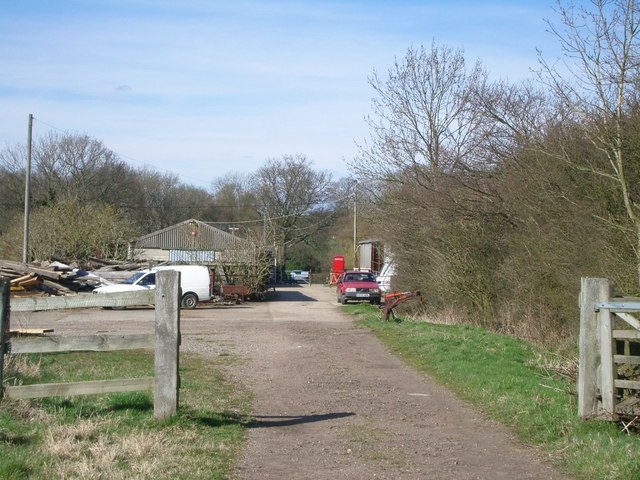
Acorn Wood is a picturesque woodland located in Surrey, England. Covering an area of approximately 100 acres, it is a popular destination for nature enthusiasts and those seeking a peaceful retreat in the heart of nature. The wood is known for its diverse range of flora and fauna, creating a thriving ecosystem.

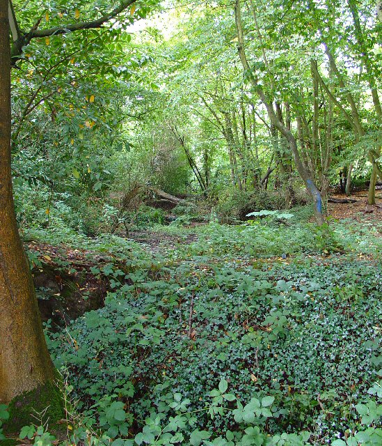
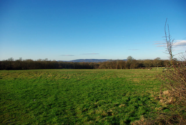
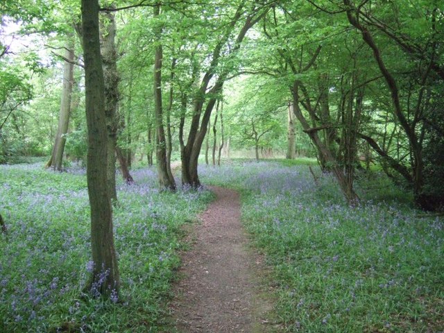
The wood is predominantly composed of native broadleaf trees, including oak, beech, and birch. These trees provide a dense canopy, allowing only dappled sunlight to filter through, creating a serene and tranquil atmosphere. In spring, the woodland floor comes alive with a vibrant carpet of bluebells, adding a burst of color to the landscape.

Acorn Wood is home to a wide variety of wildlife. Visitors may encounter species such as deer, foxes, and badgers roaming freely among the trees. The birdlife is also abundant, with many species such as woodpeckers, owls, and robins calling the wood their home. Birdwatchers can often spot a range of migratory birds during the spring and autumn seasons.

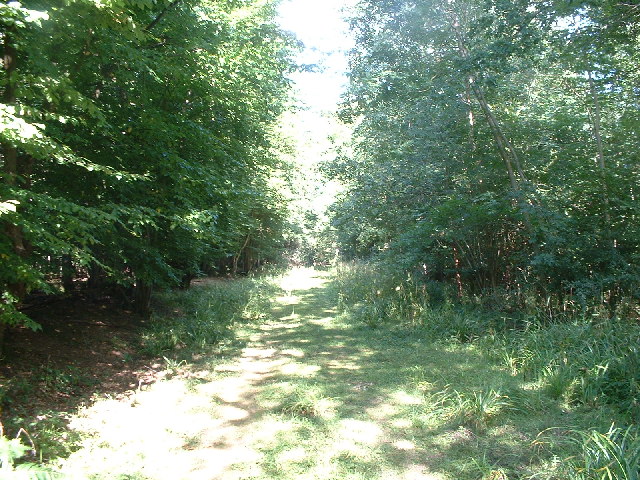
The wood boasts a network of well-maintained footpaths, offering visitors the opportunity to explore its beauty at their own pace. These paths wind through ancient trees, babbling brooks, and peaceful meadows, providing a picturesque setting for leisurely walks or family picnics.

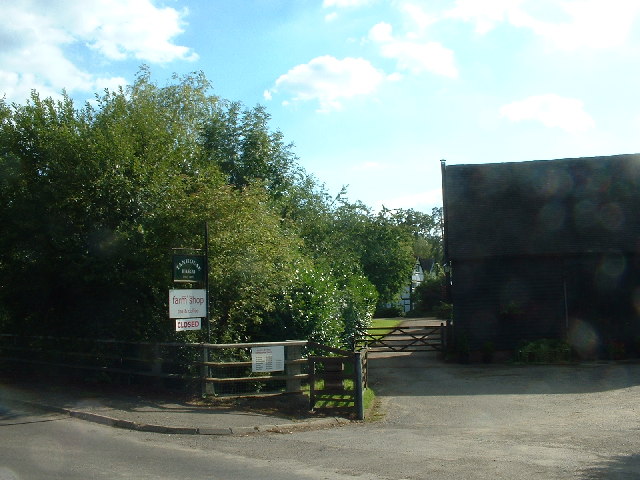
Acorn Wood is managed by a local conservation organization, ensuring its preservation and protection for future generations to enjoy. Its natural beauty, tranquil ambiance, and abundant wildlife make it a perfect destination for nature lovers and those seeking a peaceful escape from the bustling city life.

If you have any feedback on the listing, please let us know in the comments section below.
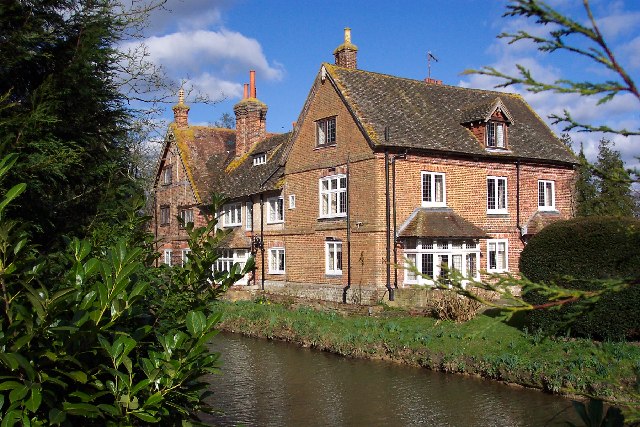
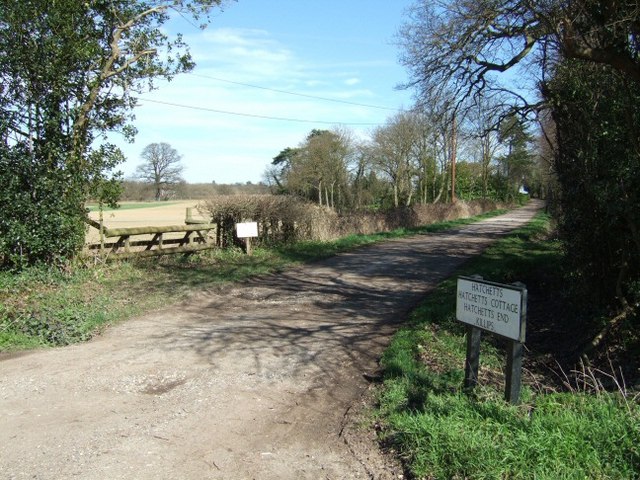
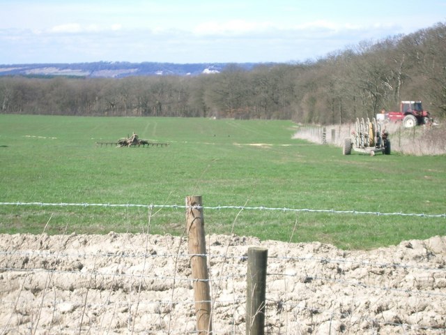
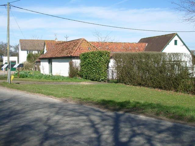
Acorn Wood Images

Images are sourced within 2km of 51.155184/-0.26758546 or Grid Reference TQ2140. Thanks to Geograph Open Source API. All images are credited.

Oaklands Park Farm, Between Rusper (W Sussex) and Charlwood (Surrey) Viewed from the public road running to the east of the farm. A livestock farm.
Oaklands Park Farm, Between Rusper (W Sussex) and Charlwood (Surrey)
Viewed from the public road running to the east of the farm. A livestock farm.
Copse near Waggoners Farm, Russ Hill, Charlwood, Surrey This small broadleaved copse in the NE corner of the grid square contains a number of ponds (which were fairly dry when this picture was taken, following an extended period with no rain). The view here is from the public bridleway which skirts the SE edge of the copse, looking towards the depression where one of the ponds would be.
Copse near Waggoners Farm, Russ Hill, Charlwood, Surrey
This small broadleaved copse in the NE corner of the grid square contains a number of ponds (which were fairly dry when this picture was taken, following an extended period with no rain). The view here is from the public bridleway which skirts the SE edge of the copse, looking towards the depression where one of the ponds would be.
Jordan's Wood Site of an air-crash involving the Turkish prime-minister on 17/02/1959.  He survived, but he was one of only ten of the twenty-two passengers and crew on board the Turkish Government aircraft that did.
Jordan's Wood
Site of an air-crash involving the Turkish prime-minister on 17/02/1959. He survived, but he was one of only ten of the twenty-two passengers and crew on board the Turkish Government aircraft that did.
Humorous signpost
Humorous signpost
Entrance to Rusper Golf Club
Tanhouse Farm - Farm Shop and Tea Rooms
View from Russ Hill towards Gatwick Part of the runway at Gatwick Airport is just visible between the trees, a plane - possibly an Air Malta Airbus A320 - has just taken off and is climbing high. The near buildings belong to Waggoners Farm.
View from Russ Hill towards Gatwick
Part of the runway at Gatwick Airport is just visible between the trees, a plane - possibly an Air Malta Airbus A320 - has just taken off and is climbing high. The near buildings belong to Waggoners Farm.
View towards Leith Hill From a field entrance on Partridge Lane. The woodland is Jordans Wood.
View towards Leith Hill
From a field entrance on Partridge Lane. The woodland is Jordans Wood.
Footpath into Jordans Wood This looks an interesting wood.
Footpath into Jordans Wood
This looks an interesting wood.
Welland Gill in Mount Noddy Wood, Near Russ Hill, Charlwood, Surrey A delightful stream running through this wood. Mount Noddy Wood is contiguous with Glovers wood, which forms an area of over a square kilometre of broadleaved woodland.
Welland Gill in Mount Noddy Wood, Near Russ Hill, Charlwood, Surrey
A delightful stream running through this wood. Mount Noddy Wood is contiguous with Glovers wood, which forms an area of over a square kilometre of broadleaved woodland.
Russ Hill Hotel, Charlwood, Surrey The main human habitation at Russ Hill is the complex of this large Hotel. Here we see the hotel viewed from the public road to the N. A public footpath passes through the 5 bar gate.
Russ Hill Hotel, Charlwood, Surrey
The main human habitation at Russ Hill is the complex of this large Hotel. Here we see the hotel viewed from the public road to the N. A public footpath passes through the 5 bar gate.
Russ Hill Hotel
Russ Hill Hotel
Cudworth manor house, Surrey Cudworth is a small settlement hidden away in the depths of the Surrey countryside. The moated manor house dates from about 1500 but has been much altered and extended over the years.
Cudworth manor house, Surrey
Cudworth is a small settlement hidden away in the depths of the Surrey countryside. The moated manor house dates from about 1500 but has been much altered and extended over the years.
Lane to Hatchetts
Lane to Hatchetts
Fields north of Beggarshouse Lane Looking north towards Box Hill.
Fields north of Beggarshouse Lane
Looking north towards Box Hill.
Sturtwood Farm Looking north-east.
Sturtwood Farm
Looking north-east.
Junction of Church Lane (left), Hogspudding Lane (ahead) and Cudworth Lane (foreground) Looking north.
Junction of Church Lane (left), Hogspudding Lane (ahead) and Cudworth Lane (foreground)
Looking north.
Green Lane Farm Looking north along the bridleway.
Green Lane Farm
Looking north along the bridleway.
Show me another place!

Acorn Wood is located at Grid Ref: TQ2140 (Lat: 51.155184, Lng: -0.26758546)

Administrative County: Surrey

District: Mole Valley

Police Authority: Surrey

What 3 Words

///slave.suffer.branded. Near Capel, Surrey

Nearby Locations

The Birches Acorn Wood

Related Wikis

Glover's Wood

Glover's Wood is a 74.5-hectare (184-acre) biological Site of Special Scientific Interest east of Charlwood in Surrey. It is a Nature Conservation Review...

Newdigate Brickworks

Newdigate Brickworks is a 24-hectare (59-acre) nature reserve in Newdigate in Surrey. It is managed by the Surrey Wildlife Trust.The clay pits of this...

Lowfield Heath Windmill

Lowfield Heath Windmill is a grade II listed post mill at Charlwood, Surrey, England which has been restored to working order. == History == The Lowfield...

Edolph's Copse

Edolph's Copse is a 27.6-hectare (68-acre) Local Nature Reserve west of Horley in Surrey. It is owned and managed by the Woodland Trust.The copse is mainly...

Newdigate

Newdigate is a village and civil parish in the Mole Valley borough of Surrey lying in a relatively flat part of the Weald to the east of the A24 road between...

Church of St Nicholas, Charlwood

The Church of St Nicholas, Charlwood, is the parish church of Charlwood, Surrey, England. With a 12th-century tower and nave section and examples of 13th...
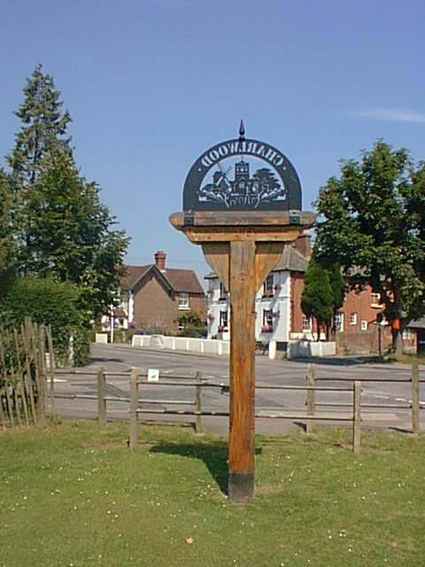
Charlwood

Charlwood is a village and civil parish in the Mole Valley district of Surrey, England. It is immediately northwest of London Gatwick Airport in West Sussex...

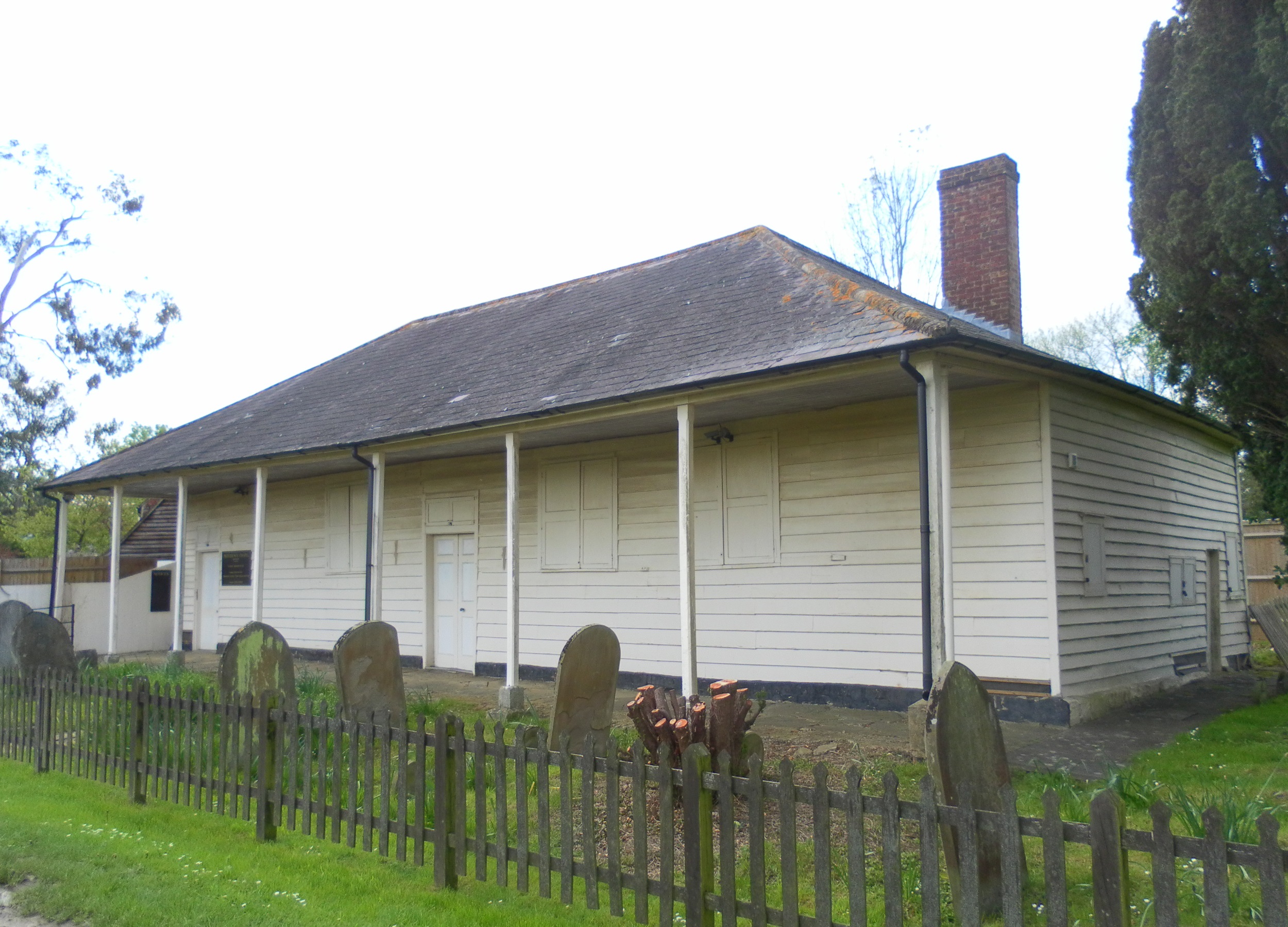
Providence Chapel, Charlwood

Providence Chapel (founded as Charlwood Union Chapel) is a former Nonconformist place of worship in the village of Charlwood in the English county of Surrey...

Nearby Amenities

Located within 500m of 51.155184,-0.26758546
Barrier: stile
Lat/Long: 51.1541548/-0.2678161
Barrier: stile
Lat/Long: 51.1537403/-0.2663637
Barrier: stile
Lat/Long: 51.1539471/-0.2744061
The data included in this document is from www.openstreetmap.org. The data is made available under ODbL.

Have you been to Acorn Wood?

Leave your review of Acorn Wood below (or comments, questions and feedback).