The Birches
Wood, Forest in Surrey Mole Valley
England
The Birches
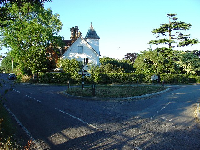
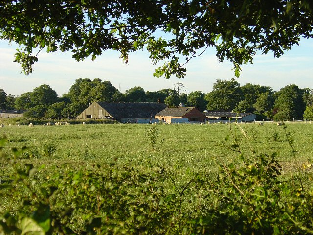
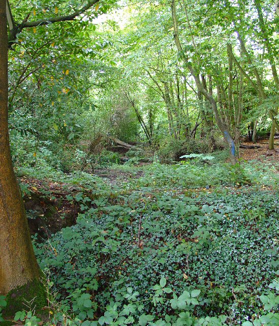
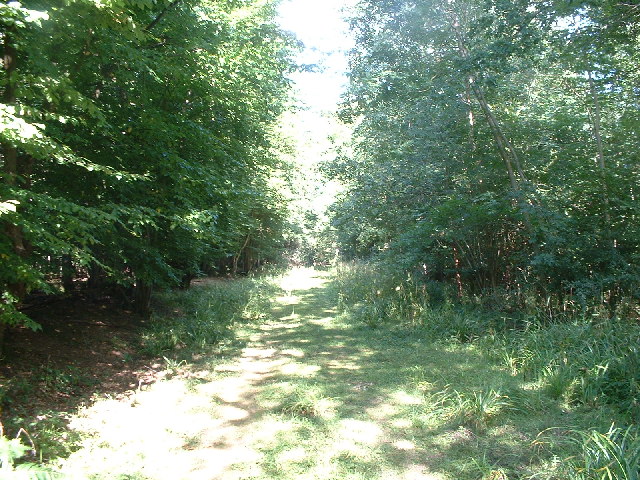
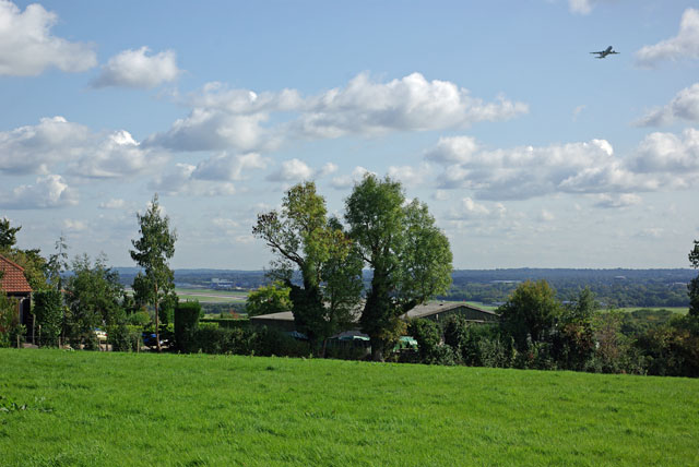
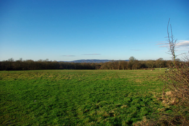
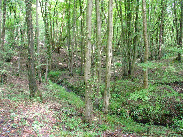
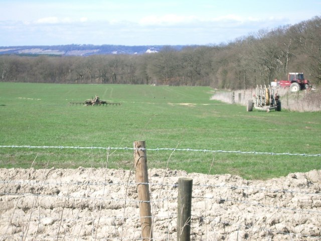
The Birches, Surrey, is a picturesque woodland located in the southeastern region of England. Covering an expansive area, The Birches is renowned for its lush greenery, dense forestation, and serene atmosphere. The woodland is nestled amidst the stunning Surrey Hills, an Area of Outstanding Natural Beauty, which further enhances its natural charm.
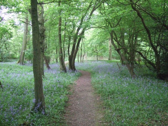
The Birches boasts an abundant variety of trees, with birch trees being the most prominent, hence its name. These elegant trees, with their slender trunks and delicate leaves, create a captivating sight all year round. The forest floor is adorned with a vibrant carpet of wildflowers, such as bluebells and primroses, which bloom in the spring, adding bursts of color to the landscape.
Visitors to The Birches can enjoy a range of outdoor activities, including hiking, nature walks, and birdwatching. The woodland is home to a diverse array of wildlife, including deer, rabbits, and a wide variety of bird species. Bird enthusiasts can spot woodpeckers, finches, and even the occasional owl.
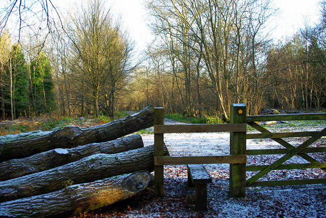
The Birches also offers several well-maintained trails, allowing visitors to explore its beauty at their own pace. These trails wind through the forest, providing breathtaking views of the surrounding countryside. The woodland is particularly enchanting during autumn when the leaves change color, transforming the landscape into a mesmerizing tapestry of reds, oranges, and yellows.
In conclusion, The Birches, Surrey, is a captivating woodland that offers a tranquil retreat for nature lovers. Its verdant trees, diverse wildlife, and stunning views make it an ideal destination for those seeking solace in the heart of nature.
If you have any feedback on the listing, please let us know in the comments section below.
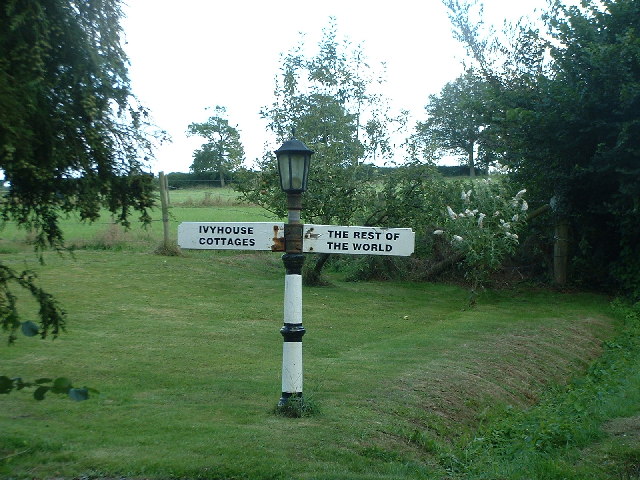
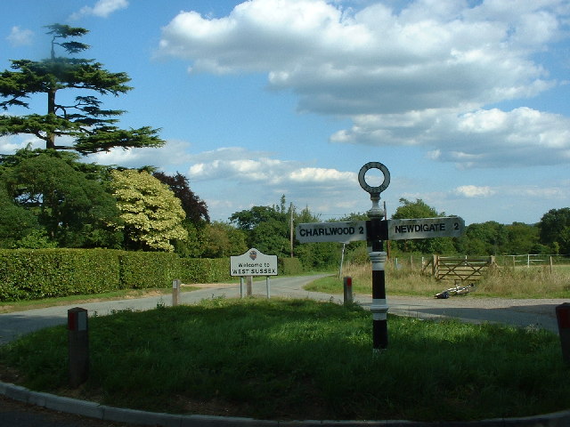
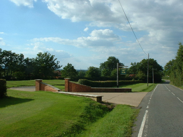
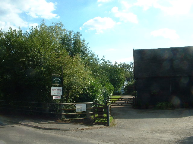
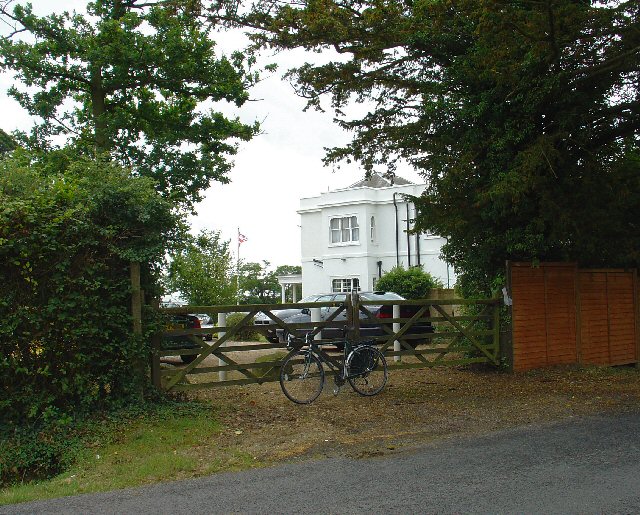
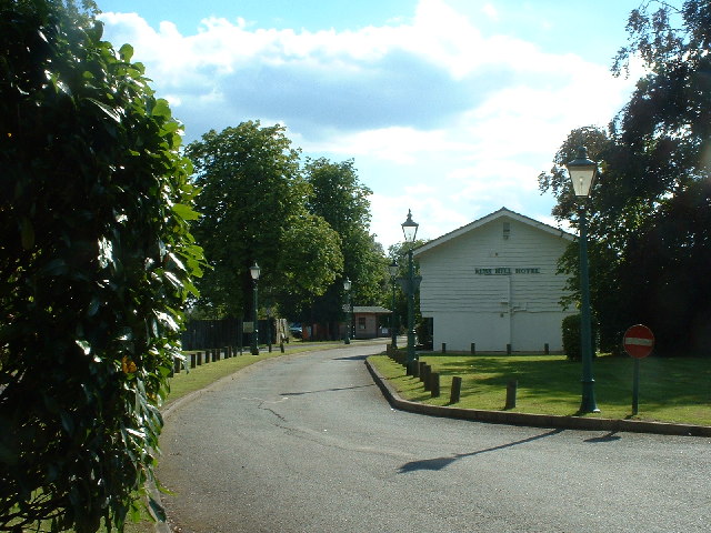
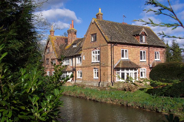
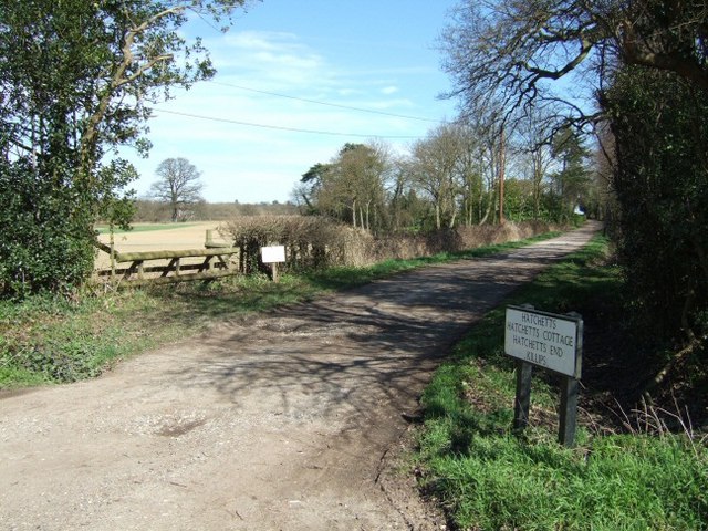
The Birches Images
Images are sourced within 2km of 51.152909/-0.26822832 or Grid Reference TQ2140. Thanks to Geograph Open Source API. All images are credited.

The Birches is located at Grid Ref: TQ2140 (Lat: 51.152909, Lng: -0.26822832)
Administrative County: Surrey
District: Mole Valley
Police Authority: Surrey
What 3 Words
///spice.nasal.orchestra. Near Capel, Surrey
Nearby Locations
Related Wikis

Glover's Wood
Glover's Wood is a 74.5-hectare (184-acre) biological Site of Special Scientific Interest east of Charlwood in Surrey. It is a Nature Conservation Review...

Newdigate Brickworks
Newdigate Brickworks is a 24-hectare (59-acre) nature reserve in Newdigate in Surrey. It is managed by the Surrey Wildlife Trust.The clay pits of this...
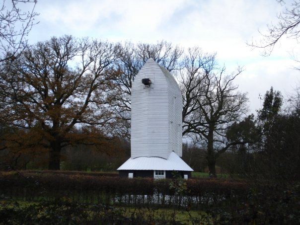
Lowfield Heath Windmill
Lowfield Heath Windmill is a grade II listed post mill at Charlwood, Surrey, England which has been restored to working order. == History == The Lowfield...
Edolph's Copse
Edolph's Copse is a 27.6-hectare (68-acre) Local Nature Reserve west of Horley in Surrey. It is owned and managed by the Woodland Trust.The copse is mainly...

Church of St Nicholas, Charlwood
The Church of St Nicholas, Charlwood, is the parish church of Charlwood, Surrey, England. With a 12th-century tower and nave section and examples of 13th...

Newdigate
Newdigate is a village and civil parish in the Mole Valley borough of Surrey lying in a relatively flat part of the Weald to the east of the A24 road between...
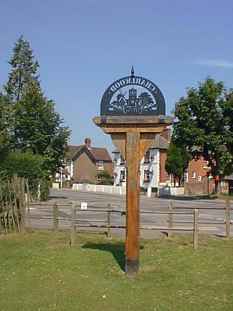
Charlwood
Charlwood is a village and civil parish in the Mole Valley district of Surrey, England. It is immediately northwest of London Gatwick Airport in West Sussex...
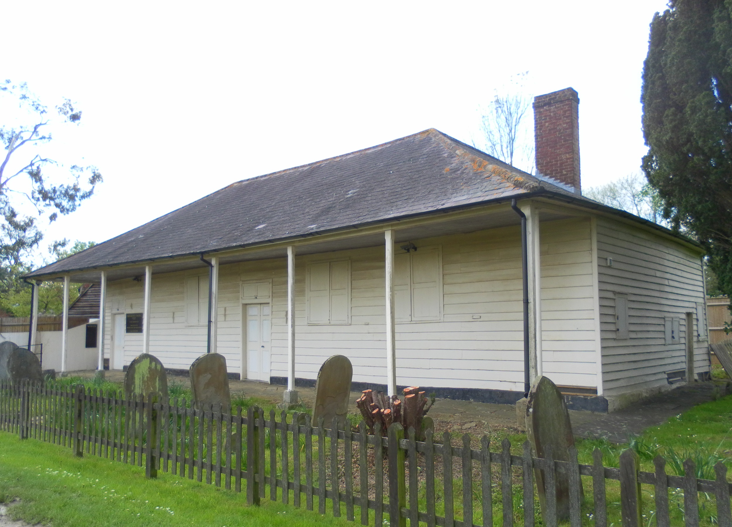
Providence Chapel, Charlwood
Providence Chapel (founded as Charlwood Union Chapel) is a former Nonconformist place of worship in the village of Charlwood in the English county of Surrey...
Nearby Amenities
Located within 500m of 51.152909,-0.26822832Have you been to The Birches?
Leave your review of The Birches below (or comments, questions and feedback).