Warren Wood

Wood, Forest in Hertfordshire Welwyn Hatfield

England

Warren Wood

Waterend Looking North from TL204136 to the ford at Waterend on the River Lea, West of Welwyn Garden City. It's dry, but the water only has to rise a foot or so to flood the road - hence the little footbridge so people can cross without getting their feet wet.
Waterend Credit: Rob Hinkley

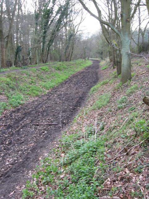
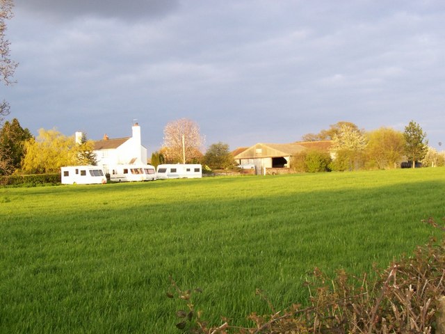
Warren Wood is a small forested area located in the county of Hertfordshire, England. Situated near the town of Hertford, it covers an area of approximately 50 acres. The wood is part of a larger wooded landscape known as the Great Wood of Hertford, which spans several square miles.

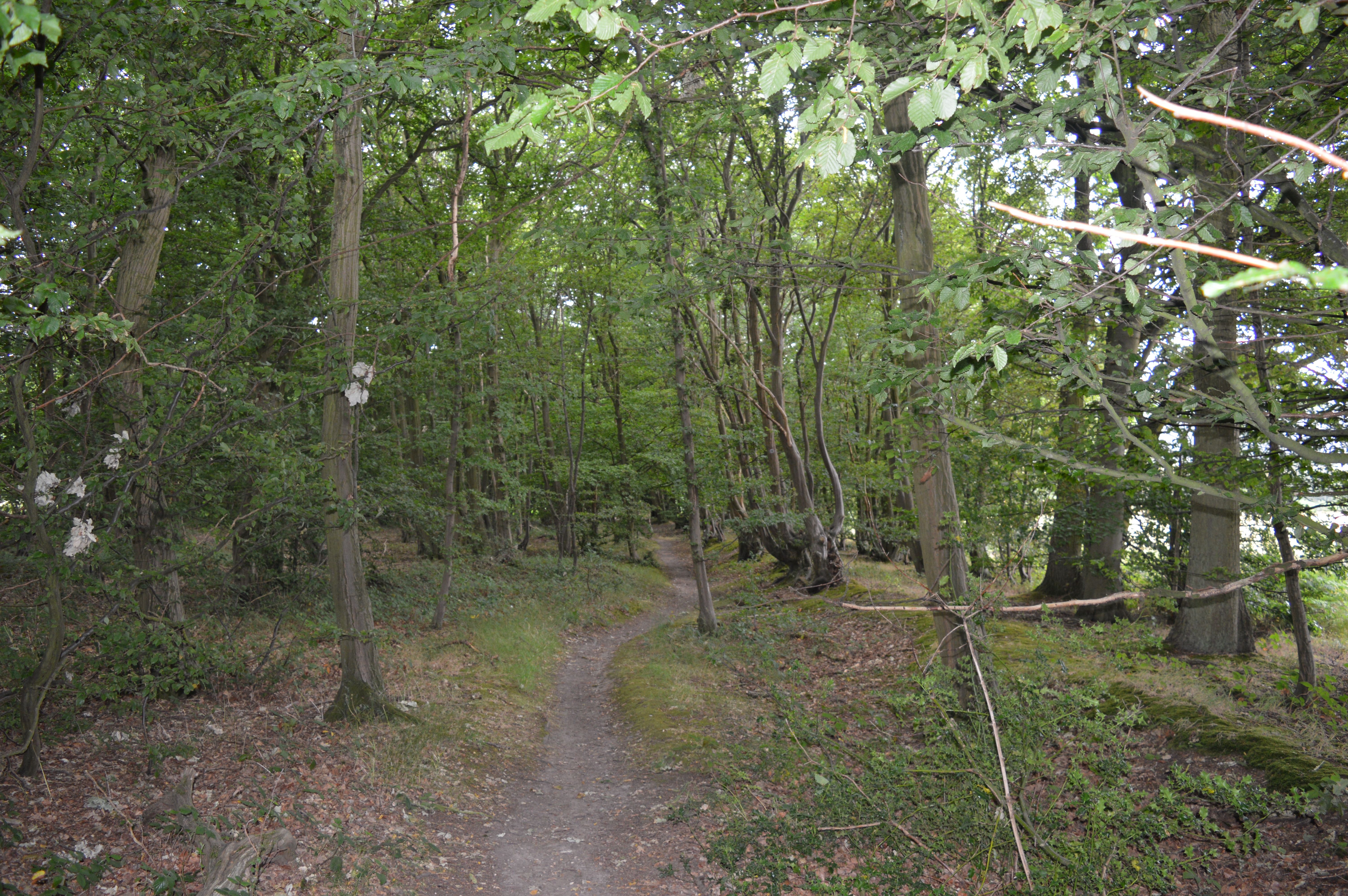
Warren Wood is predominantly made up of deciduous trees, such as oak, beech, and birch, which provide a diverse and rich habitat for a variety of wildlife. The woodland floor is covered with an assortment of wildflowers, ferns, and mosses, adding to the natural beauty of the area.

The wood is intersected by several footpaths and trails, allowing visitors to explore its tranquil surroundings. These paths are well-maintained and offer a peaceful escape for walkers, joggers, and nature enthusiasts. The wood is also home to a variety of bird species, making it a popular destination for birdwatching enthusiasts.

The management of Warren Wood focuses on preserving its natural environment and promoting biodiversity. Regular conservation activities, including tree planting and invasive species control, are undertaken to ensure the long-term health and sustainability of the woodland ecosystem.

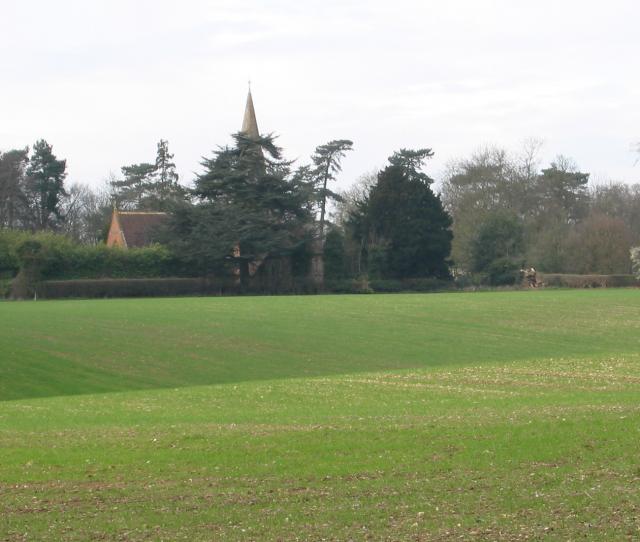
The wood is accessible to the public, with car parking facilities available nearby. It offers a serene and picturesque setting for outdoor activities such as picnicking, wildlife spotting, and photography. Warren Wood is a cherished natural asset in Hertfordshire, providing a haven of tranquility and beauty for both locals and visitors to enjoy.

If you have any feedback on the listing, please let us know in the comments section below.
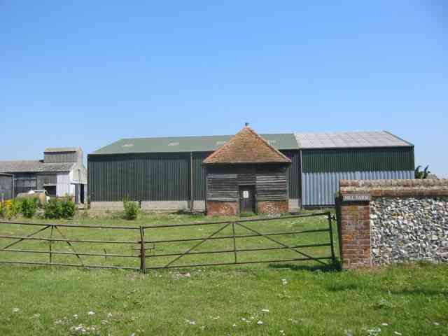
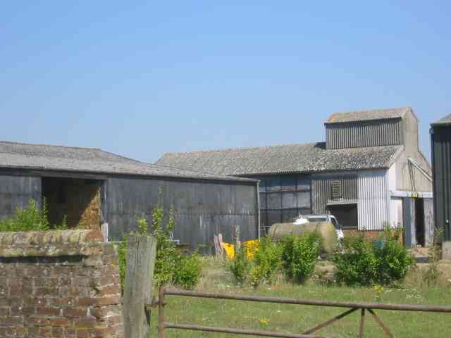
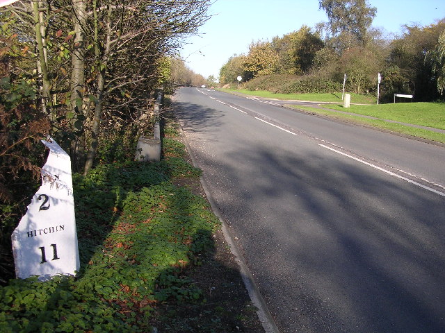
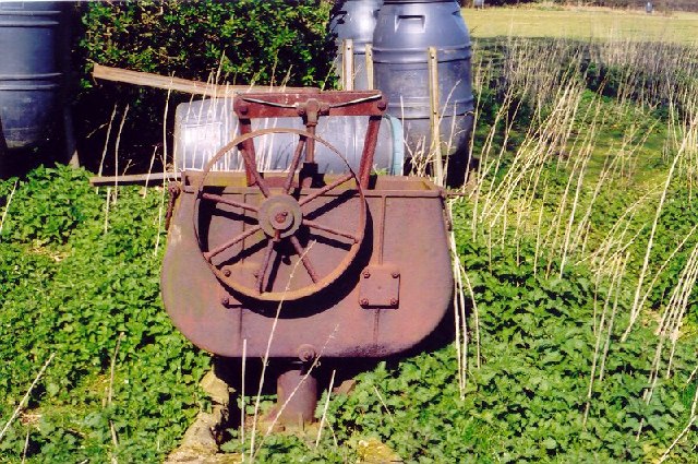
Warren Wood Images

Images are sourced within 2km of 51.819283/-0.24703317 or Grid Reference TL2014. Thanks to Geograph Open Source API. All images are credited.

Waterend Looking North from TL204136 to the ford at Waterend on the River Lea, West of Welwyn Garden City. It's dry, but the water only has to rise a foot or so to flood the road - hence the little footbridge so people can cross without getting their feet wet.
Waterend
Looking North from TL204136 to the ford at Waterend on the River Lea, West of Welwyn Garden City. It's dry, but the water only has to rise a foot or so to flood the road - hence the little footbridge so people can cross without getting their feet wet.
Waterend house The large house just North of the ford (TL204137)
Waterend house
The large house just North of the ford (TL204137)
Brocket Hall gates Looking south from TL218139 to the gates of Brocket Hall - home of convicted fraudster and annoying D-list reality TV celeb Lord Brocket. Most of the rest of the grid square South of here is private, and judging by the spikes, CCTV and "STOP" notices I don't think he'll let you in.
Brocket Hall gates
Looking south from TL218139 to the gates of Brocket Hall - home of convicted fraudster and annoying D-list reality TV celeb Lord Brocket. Most of the rest of the grid square South of here is private, and judging by the spikes, CCTV and "STOP" notices I don't think he'll let you in.
Greenway bridge Looking South to a bridge at TL209145 which carries the Ayot Greenway - a length of old railway line converted into cycle path and bridleway, covering most of the way from Wheathampstead to Welwyn Garden City.
Greenway bridge
Looking South to a bridge at TL209145 which carries the Ayot Greenway - a length of old railway line converted into cycle path and bridleway, covering most of the way from Wheathampstead to Welwyn Garden City.
Ayot Greenway Looking West from TL218146 along the greenway - a length of abandoned railway line running most of the way from Wheathampstead to Welwyn Garden City.
Ayot Greenway
Looking West from TL218146 along the greenway - a length of abandoned railway line running most of the way from Wheathampstead to Welwyn Garden City.
Church, Ayot St Peter, from afar. Peering North from TL218146, through the trees at the edge of the old railway line & across the fields to the church in Ayot St Peter (TL218149)
Church, Ayot St Peter, from afar.
Peering North from TL218146, through the trees at the edge of the old railway line & across the fields to the church in Ayot St Peter (TL218149)
Ayot St Peter Church Taken from the road looking WSW towards the Church
Ayot St Peter Church
Taken from the road looking WSW towards the Church
Brocket Hall, Lemsford This is the view one gets from the highway.
Brocket Hall, Lemsford
This is the view one gets from the highway.
Ayot St Peter The church seems to be operational but where would the congregation come from?
Ayot St Peter
The church seems to be operational but where would the congregation come from?
Ayot St Peter This building is next door to the church. Looks like it was the school but is now a house
Ayot St Peter
This building is next door to the church. Looks like it was the school but is now a house
Road sign to Hill Farm Lane The area was lacking in tangible elements being woods and open fields.
Road sign to Hill Farm Lane
The area was lacking in tangible elements being woods and open fields.
A strange structure at Hill Farm I wonder if it covers a well
A strange structure at Hill Farm
I wonder if it covers a well
More farm buildings at Hill Farm Interesting to see straw bales packed into a building
More farm buildings at Hill Farm
Interesting to see straw bales packed into a building
Milepost on Great North Rd This broken milepost stands on the old Great North Rd.  This is now the B197 Stevenage to Welwyn Garden City road.  In fact most people making this journey use  the A1 which runs parallel and about 50 yards to the left.  This milepost is cast iron and has been broken at some stage.  This is the road that Dick Turpin would have ridden from York to London on.
Milepost on Great North Rd
This broken milepost stands on the old Great North Rd. This is now the B197 Stevenage to Welwyn Garden City road. In fact most people making this journey use the A1 which runs parallel and about 50 yards to the left. This milepost is cast iron and has been broken at some stage. This is the road that Dick Turpin would have ridden from York to London on.
River from Waterend Ford View of the River Lea taken from Waterend Ford looking South-East
River from Waterend Ford
View of the River Lea taken from Waterend Ford looking South-East
Wellhead This is the head mechanism for a well. Largely complete but the cover is missing. Locally made and originally driven by a separate (steam traction?) engine, possibly as a water source for a steam plough? Located near the top of a hill just south of Threegroves Wood. There is a concrete structure about two metres high, possibly for a water tank. TL203148
Wellhead
This is the head mechanism for a well. Largely complete but the cover is missing. Locally made and originally driven by a separate (steam traction?) engine, possibly as a water source for a steam plough? Located near the top of a hill just south of Threegroves Wood. There is a concrete structure about two metres high, possibly for a water tank. TL203148
Ryefield Farm Some of the Ryefield Farm buildings, viewed from the track which approaches from the west.
Ryefield Farm
Some of the Ryefield Farm buildings, viewed from the track which approaches from the west.
River Mimram crossing Ford over the River Mimram. When the river's low it can flow underneath, and only floods if the water rises.
River Mimram crossing
Ford over the River Mimram. When the river's low it can flow underneath, and only floods if the water rises.
Show me another place!

Warren Wood is located at Grid Ref: TL2014 (Lat: 51.819283, Lng: -0.24703317)

Administrative County: Hertfordshire

District: Welwyn Hatfield

Police Authority: Hertfordshire

What 3 Words

///gross.rather.pine. Near Welwyn, Hertfordshire

Related Wikis

Stocking Springs Wood

Stocking Springs Wood is a 1.1-hectare (2.7-acre) nature reserve between Ayot St Lawrence and Ayot St Peter in Welwyn Hatfield district in Hertfordshire...

Ayot St Peter

Ayot St Peter is a village and civil parish in the Welwyn Hatfield district of Hertfordshire, England, about two miles north-west of Welwyn Garden City...

Ayot Green

Ayot Green is a hamlet in Hertfordshire, England and is near the A1(M) Motorway, close to Welwyn Garden City. It is a typical traditional English village...

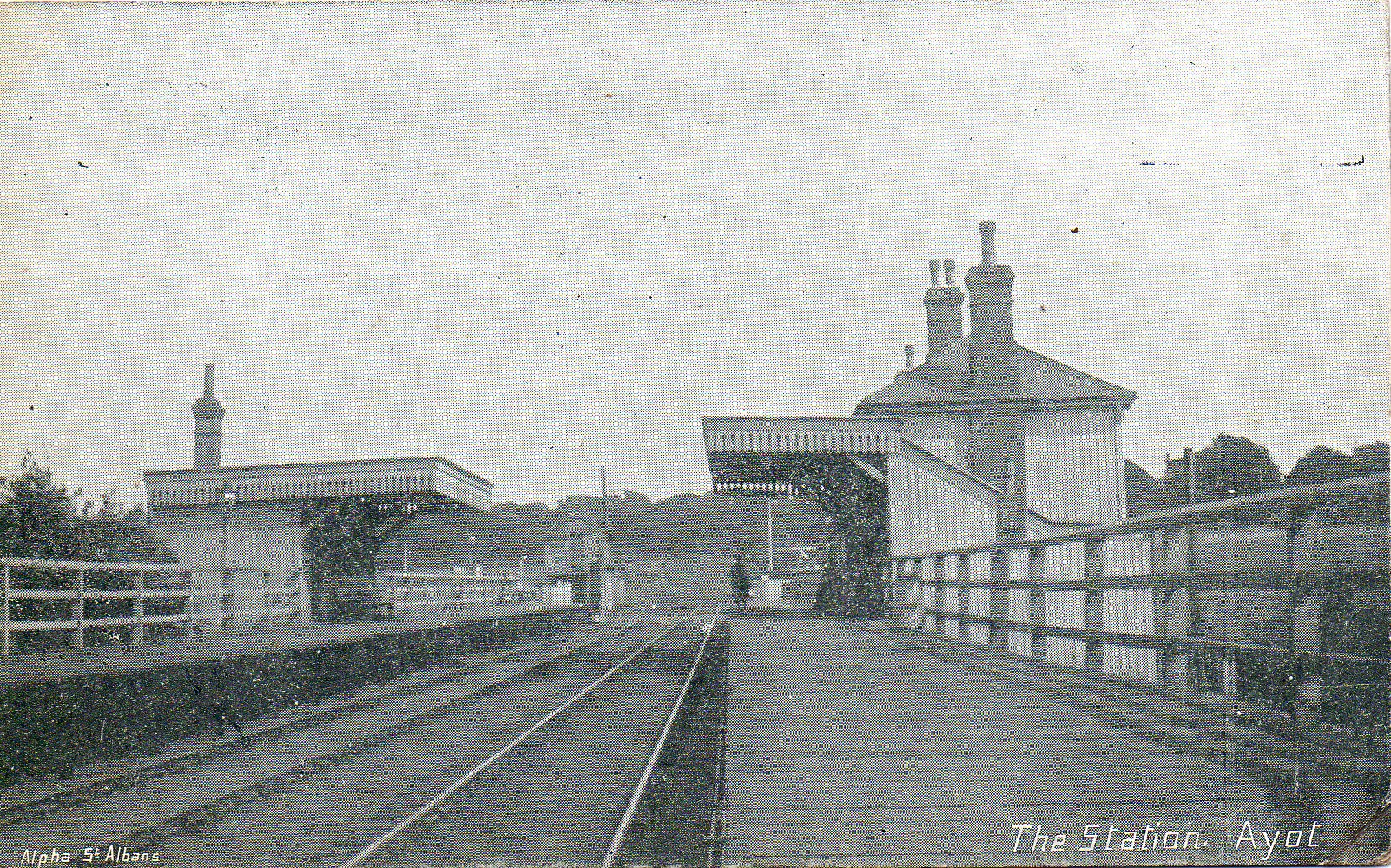
Ayot railway station

Ayot was a railway station serving Ayot St Peter near Welwyn Garden City in Hertfordshire, England. It was on the branch line to Dunstable. == History... ==

Station IX

Station IX (formerly known as the Inter-Services Research Bureau) was a secret British Special Operations Executive factory making special weapons and...
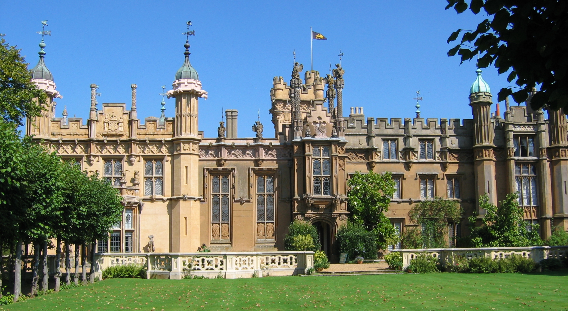
The Frythe

The Frythe is a country house set in its own grounds in rural Hertfordshire, just south of the village of Welwyn, about 30 miles north of London. ��2...
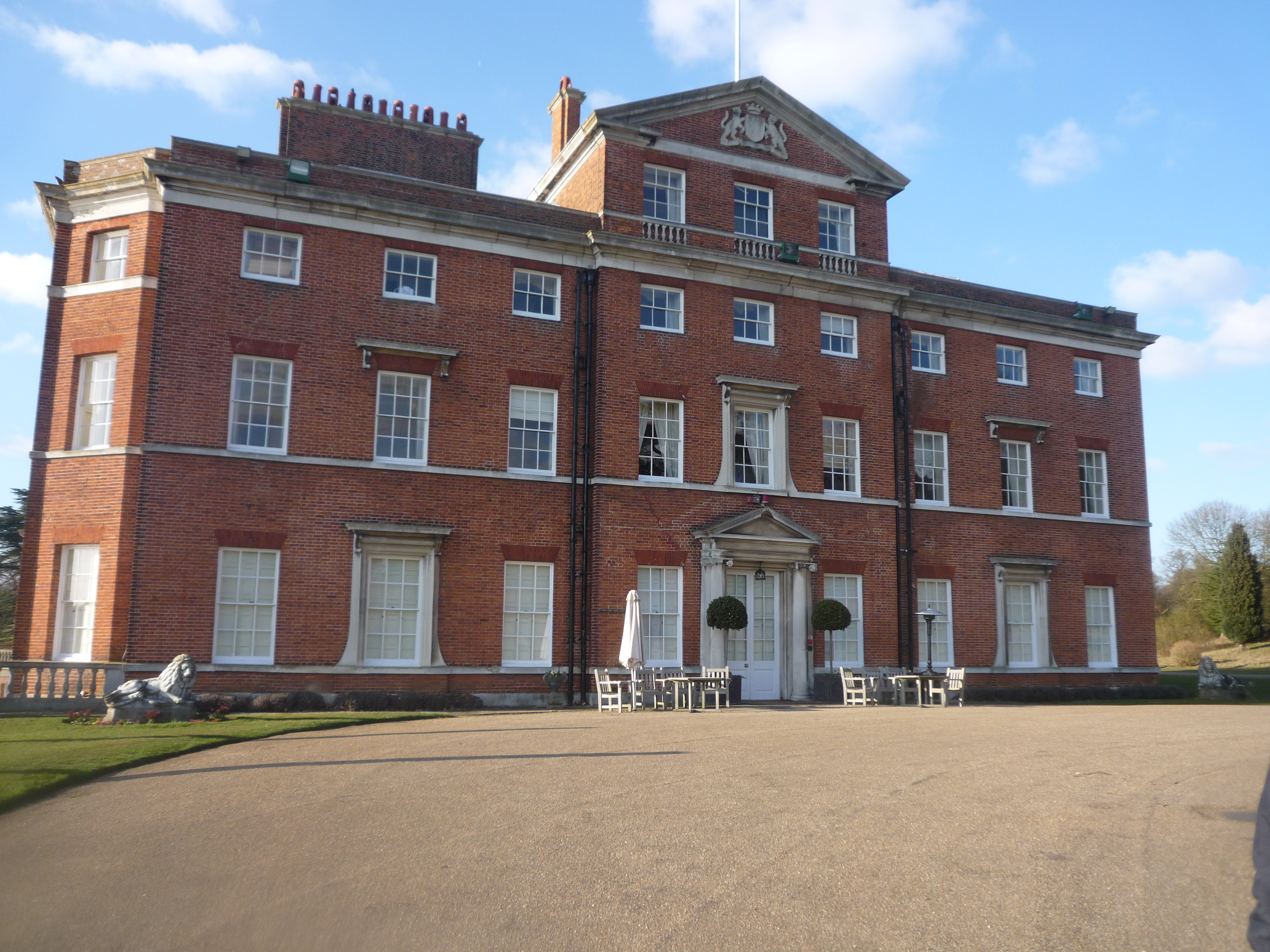
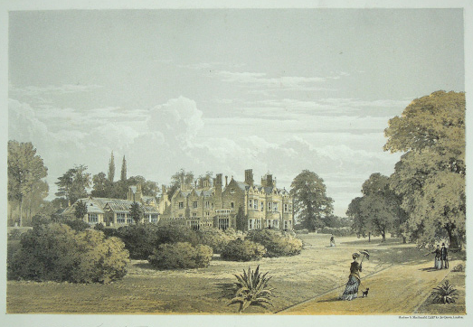
Brocket Hall

Brocket Hall is a neo-classical country house set in a large park at the western side of the urban area of Welwyn Garden City in Hertfordshire, England...

Hertfordshire

Hertfordshire ( HART-fərd-sheer or -⁠shər; often abbreviated Herts) is a county in the East of England region and is one of the home counties. It borders...

Nearby Amenities

Located within 500m of 51.819283,-0.24703317
The data included in this document is from www.openstreetmap.org. The data is made available under ODbL.

Have you been to Warren Wood?

Leave your review of Warren Wood below (or comments, questions and feedback).