Cherrytree Spring

Wood, Forest in Hertfordshire St. Albans

England

Cherrytree Spring

Waterend Looking North from TL204136 to the ford at Waterend on the River Lea, West of Welwyn Garden City. It's dry, but the water only has to rise a foot or so to flood the road - hence the little footbridge so people can cross without getting their feet wet.
Waterend Credit: Rob Hinkley

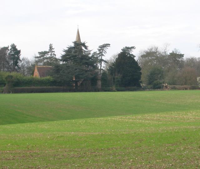
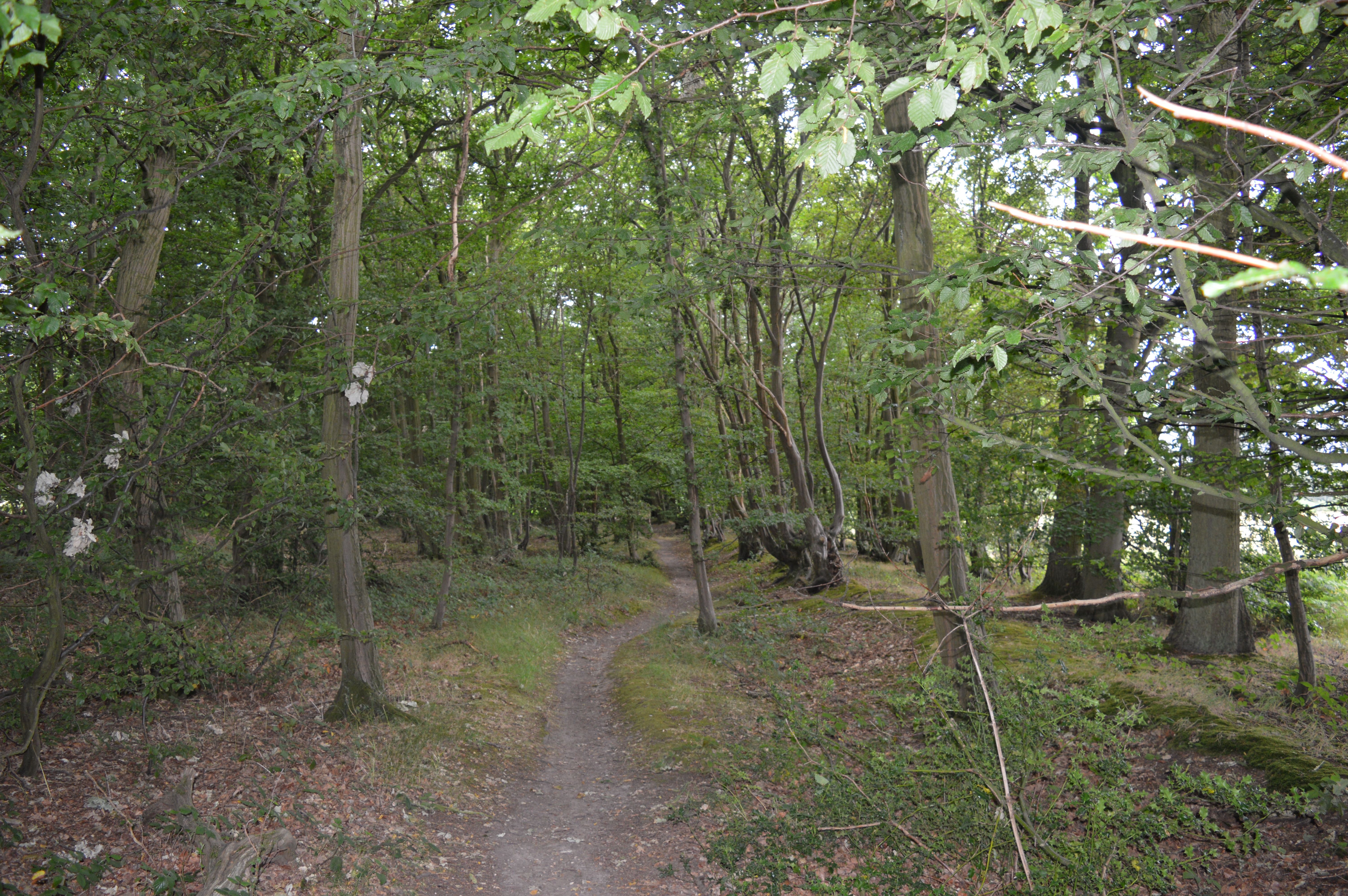
Cherrytree Spring is a picturesque wood located in Hertfordshire, England. Nestled in the heart of the county, this enchanting forest covers an area of approximately 100 acres, offering visitors a tranquil and serene escape from the bustling city life.

The wood takes its name from the abundance of cherry trees that adorn its landscape, creating a stunning spectacle during the spring season when the delicate pink blossoms bloom, painting the surroundings in a vibrant hue. The sight of the cherry trees in full bloom is truly breathtaking and draws nature enthusiasts and photographers from far and wide.

Aside from the cherry trees, Cherrytree Spring boasts a diverse range of flora and fauna, making it a haven for wildlife and a popular spot for nature lovers. The forest is home to ancient oak trees, silver birches, and a variety of wildflowers that carpet the forest floor during the summer months. Visitors can also spot various species of birds, rabbits, and squirrels, adding to the charm and tranquility of the wood.

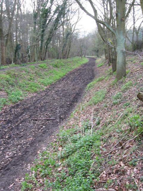
Cherrytree Spring offers numerous walking trails, allowing visitors to explore its natural beauty at their own pace. These paths wind through the forest, leading to hidden clearings and serene ponds, providing ample opportunities for picnics or moments of quiet contemplation.

Overall, Cherrytree Spring is a gem in Hertfordshire, offering a slice of untouched nature for visitors to immerse themselves in. Whether it is the vibrant cherry blossoms in spring or the peaceful ambiance throughout the year, this wood is a must-visit destination for anyone seeking solace and connection with the natural world.

If you have any feedback on the listing, please let us know in the comments section below.

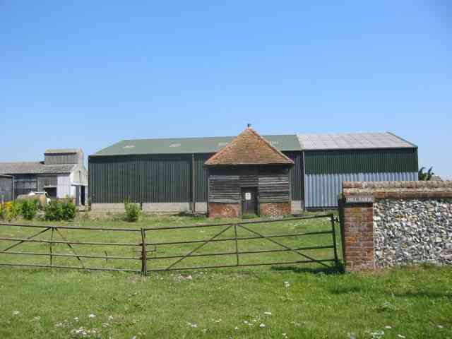
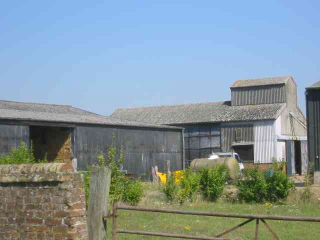
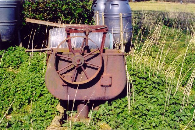
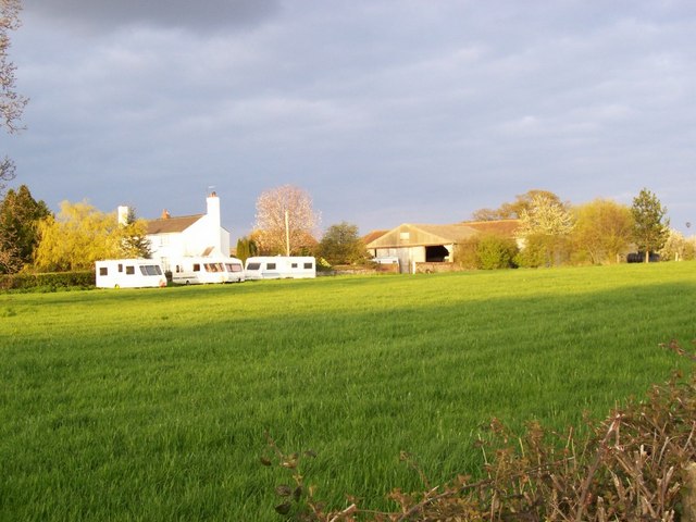
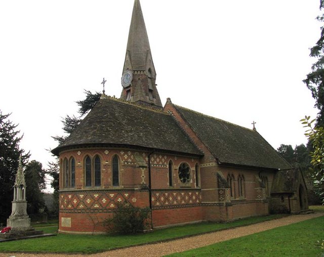
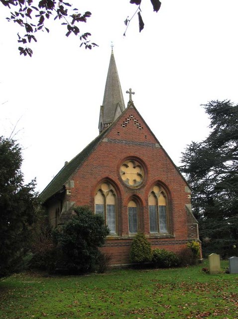
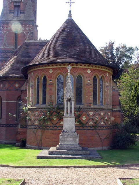
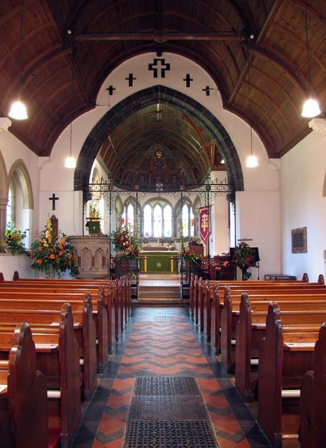
Cherrytree Spring Images

Images are sourced within 2km of 51.819076/-0.2603462 or Grid Reference TL2014. Thanks to Geograph Open Source API. All images are credited.

Waterend Looking North from TL204136 to the ford at Waterend on the River Lea, West of Welwyn Garden City. It's dry, but the water only has to rise a foot or so to flood the road - hence the little footbridge so people can cross without getting their feet wet.
Waterend
Looking North from TL204136 to the ford at Waterend on the River Lea, West of Welwyn Garden City. It's dry, but the water only has to rise a foot or so to flood the road - hence the little footbridge so people can cross without getting their feet wet.
Waterend house The large house just North of the ford (TL204137)
Waterend house
The large house just North of the ford (TL204137)
Greenway bridge Looking South to a bridge at TL209145 which carries the Ayot Greenway - a length of old railway line converted into cycle path and bridleway, covering most of the way from Wheathampstead to Welwyn Garden City.
Greenway bridge
Looking South to a bridge at TL209145 which carries the Ayot Greenway - a length of old railway line converted into cycle path and bridleway, covering most of the way from Wheathampstead to Welwyn Garden City.
Ayot Greenway Looking West from TL218146 along the greenway - a length of abandoned railway line running most of the way from Wheathampstead to Welwyn Garden City.
Ayot Greenway
Looking West from TL218146 along the greenway - a length of abandoned railway line running most of the way from Wheathampstead to Welwyn Garden City.
Church, Ayot St Peter, from afar. Peering North from TL218146, through the trees at the edge of the old railway line & across the fields to the church in Ayot St Peter (TL218149)
Church, Ayot St Peter, from afar.
Peering North from TL218146, through the trees at the edge of the old railway line & across the fields to the church in Ayot St Peter (TL218149)
Ayot St Peter Church Taken from the road looking WSW towards the Church
Ayot St Peter Church
Taken from the road looking WSW towards the Church
Ayot St Peter The church seems to be operational but where would the congregation come from?
Ayot St Peter
The church seems to be operational but where would the congregation come from?
Ayot St Peter This building is next door to the church. Looks like it was the school but is now a house
Ayot St Peter
This building is next door to the church. Looks like it was the school but is now a house
Road sign to Hill Farm Lane The area was lacking in tangible elements being woods and open fields.
Road sign to Hill Farm Lane
The area was lacking in tangible elements being woods and open fields.
A strange structure at Hill Farm I wonder if it covers a well
A strange structure at Hill Farm
I wonder if it covers a well
More farm buildings at Hill Farm Interesting to see straw bales packed into a building
More farm buildings at Hill Farm
Interesting to see straw bales packed into a building
River from Waterend Ford View of the River Lea taken from Waterend Ford looking South-East
River from Waterend Ford
View of the River Lea taken from Waterend Ford looking South-East
Wellhead This is the head mechanism for a well. Largely complete but the cover is missing. Locally made and originally driven by a separate (steam traction?) engine, possibly as a water source for a steam plough? Located near the top of a hill just south of Threegroves Wood. There is a concrete structure about two metres high, possibly for a water tank. TL203148
Wellhead
This is the head mechanism for a well. Largely complete but the cover is missing. Locally made and originally driven by a separate (steam traction?) engine, possibly as a water source for a steam plough? Located near the top of a hill just south of Threegroves Wood. There is a concrete structure about two metres high, possibly for a water tank. TL203148
Ryefield Farm Some of the Ryefield Farm buildings, viewed from the track which approaches from the west.
Ryefield Farm
Some of the Ryefield Farm buildings, viewed from the track which approaches from the west.
St Peter, Ayot St Peter, Herts
St Peter, Ayot St Peter, Herts - Apse
St Peter, Ayot St Peter, Herts - East end
Show me another place!

Cherrytree Spring is located at Grid Ref: TL2014 (Lat: 51.819076, Lng: -0.2603462)

Administrative County: Hertfordshire

District: St. Albans

Police Authority: Hertfordshire

What 3 Words

///zebra.prime.wider. Near Wheathampstead, Hertfordshire

Related Wikis

Stocking Springs Wood

Stocking Springs Wood is a 1.1-hectare (2.7-acre) nature reserve between Ayot St Lawrence and Ayot St Peter in Welwyn Hatfield district in Hertfordshire...

Ayot St Lawrence

Ayot St Lawrence is a small English village and civil parish in Hertfordshire, two miles (three kilometres) west of Welwyn. There are several other Ayots...

Shaw's Corner

Shaw's Corner was the primary residence of the renowned Irish playwright George Bernard Shaw; it is now a National Trust property open to the public as...

Ayot Green

Ayot Green is a hamlet in Hertfordshire, England and is near the A1(M) Motorway, close to Welwyn Garden City. It is a typical traditional English village...

Ayot St Peter

Ayot St Peter is a village and civil parish in the Welwyn Hatfield district of Hertfordshire, England, about two miles north-west of Welwyn Garden City...

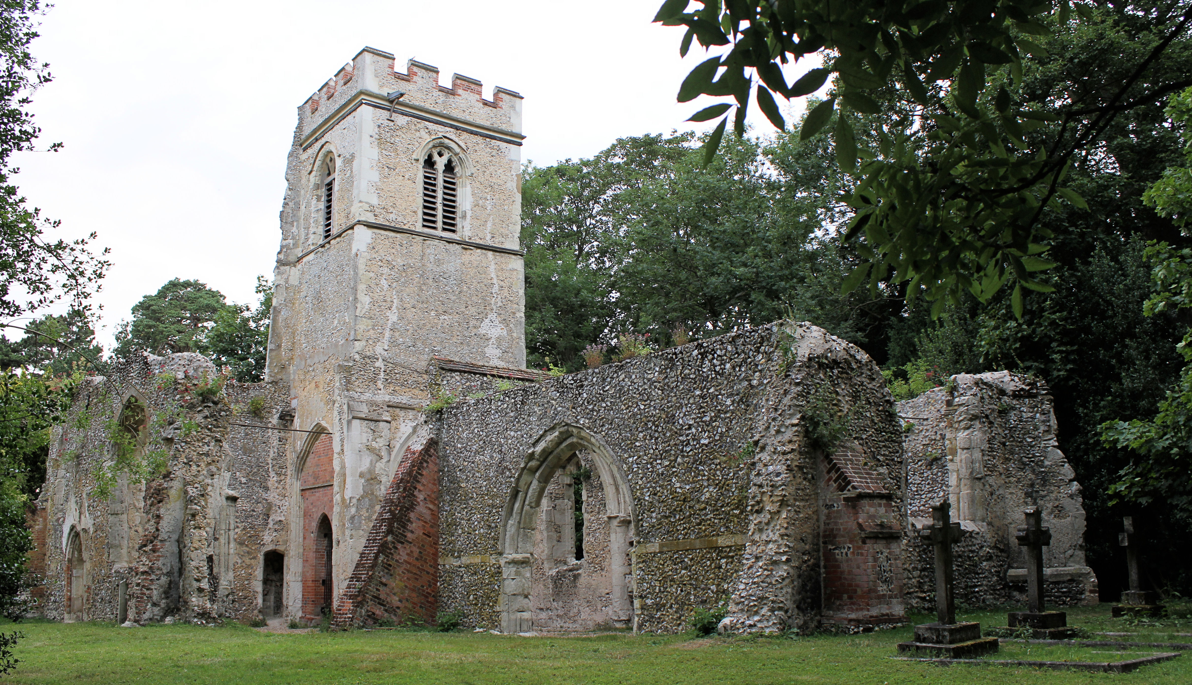
Old St Lawrence Church, Ayot St Lawrence

Old St Lawrence Church is a ruined building in Ayot St Lawrence, Hertfordshire, England. It is protected as a Grade II* listed building, and dates back...

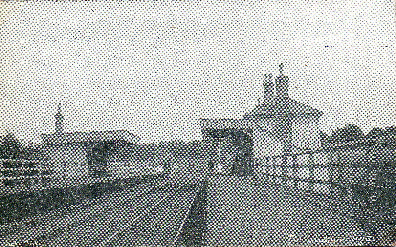
Ayot railway station

Ayot was a railway station serving Ayot St Peter near Welwyn Garden City in Hertfordshire, England. It was on the branch line to Dunstable. == History... ==

Devil's Dyke, Hertfordshire

Devil's Dyke is the remains of a prehistoric defensive ditch which lies at the east side of the village of Wheathampstead, Hertfordshire, England. It is...

Related Videos

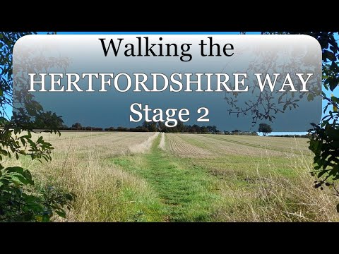
Walking the Hertfordshire Way - 02

Walking the Hertfordshire Way clockwise (backwards). Leg 2 from Hare Street to Bishops Stotford. We have a beer and a paddle ...

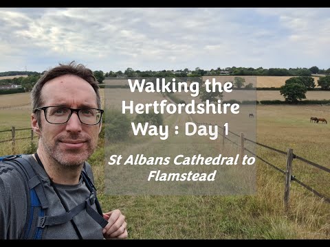
Walking the Hertfordshire Way - Day 1 (of many)

In order to complete my "walk a long distance path (LDP) in each of the 38 counties of England challenge", I've started walking the ...

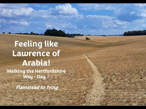
Like Lawrence of Arabia! - Walking the Hertfordshire Way (Day 2) during the hot, dry summer of 2022

Day 2 of 2 for leg 1 of the mammoth Hertfordshire Way - this leg from Flamstead to Tring (14 miles) The route: Stayed at Premier ...

Walking in the forest

Exploring our new boat location!

Nearby Amenities

Located within 500m of 51.819076,-0.2603462
Leisure: picnic_table
Lat/Long: 51.814809/-0.2614242
Leisure: picnic_table
Lat/Long: 51.8148759/-0.2616244
The data included in this document is from www.openstreetmap.org. The data is made available under ODbL.

Have you been to Cherrytree Spring?

Leave your review of Cherrytree Spring below (or comments, questions and feedback).