Stone Fold Holt
Wood, Forest in Lincolnshire East Lindsey
England
Stone Fold Holt

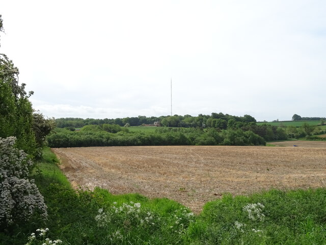
Stone Fold Holt is a dense woodland located in Lincolnshire, England. Covering an expansive area, it is nestled amidst the picturesque countryside, offering a serene and peaceful escape from the bustling city life. The holt is predominantly composed of a variety of deciduous and evergreen trees, creating a rich and diverse ecosystem.
The woodland is renowned for its impressive collection of ancient oak trees, some of which are believed to be several hundred years old. These majestic giants provide a canopy that shields the forest floor from excessive sunlight, creating a cool and shaded environment below. The undergrowth is abundant with ferns, mosses, and wildflowers, adding to the enchanting atmosphere of the holt.
Stone Fold Holt is teeming with wildlife, making it a popular destination for nature enthusiasts and birdwatchers. The forest is home to various bird species, including woodpeckers, owls, and songbirds, filling the air with their melodic tunes. Squirrels scurry through the trees, while rabbits and deer can often be spotted grazing in the clearings.
Several well-maintained trails wind through the woods, allowing visitors to explore the holt at their leisure. These paths offer breathtaking views of the surrounding countryside and provide opportunities for peaceful walks, jogging, or cycling. The forest is also equipped with picnic areas, making it an ideal spot for families and friends to enjoy a day out in nature.
Stone Fold Holt truly embodies the beauty of Lincolnshire's woodlands, offering a tranquil haven for both flora and fauna alike. With its ancient oaks, vibrant wildlife, and scenic trails, it is a place where one can immerse themselves in the wonders of nature.
If you have any feedback on the listing, please let us know in the comments section below.
Stone Fold Holt Images
Images are sourced within 2km of 53.356756/-0.19839017 or Grid Reference TF2085. Thanks to Geograph Open Source API. All images are credited.


Stone Fold Holt is located at Grid Ref: TF2085 (Lat: 53.356756, Lng: -0.19839017)
Administrative County: Lincolnshire
District: East Lindsey
Police Authority: Lincolnshire
What 3 Words
///file.elbowing.dwelled. Near Market Rasen, Lincolnshire
Nearby Locations
Related Wikis
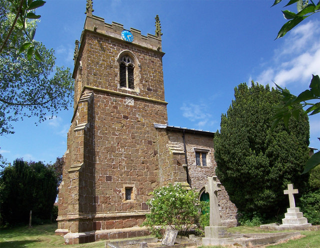
Girsby, Lincolnshire
Girsby is a hamlet in the East Lindsey district of Lincolnshire, England. It is situated less than 1 mile (2 km) north from the A157 road, 7 miles (11...
Hainton
Hainton is a village and civil parish in the East Lindsey district of Lincolnshire, England. It is situated on the A157 road, 10 miles (16 km) west from...
Burgh on Bain
Burgh on Bain is a village and civil parish in the East Lindsey district of Lincolnshire, England. It is situated on the A157 road, 7 miles (11 km) west...
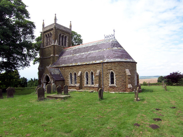
South Willingham
South Willingham is a village and civil parish in the East Lindsey district of Lincolnshire, England, and partly within the Lincolnshire Wolds Area of...

Biscathorpe
Biscathorpe is an ecclesiastical parish, deserted medieval village and former civil parish, now in the parish of Gayton le Wold, in the East Lindsey district...
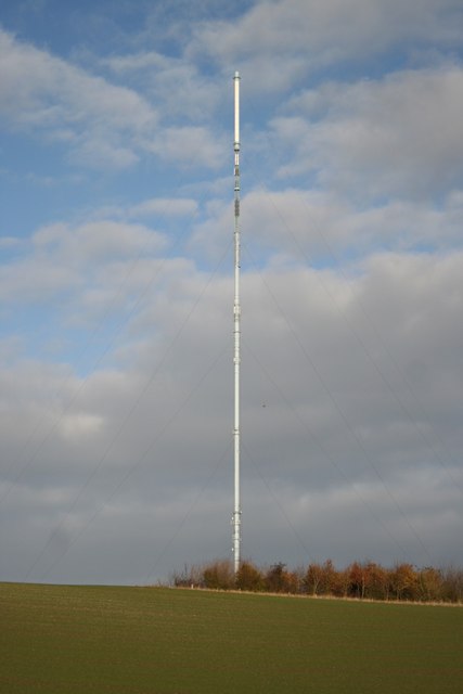
Belmont transmitting station
The Belmont transmitting station is a broadcasting and telecommunications facility next to the B1225, 1 mile (1.6 km) west of the village of Donington...

South Willingham and Hainton railway station
South Willingham and Hainton railway station was a railway station that served the village of South Willingham, Lincolnshire, England between 1874 and...
Sixhills
Sixhills is a village in the West Lindsey district of Lincolnshire, England, about 3 miles (4.8 km) south-east from Market Rasen. It lies just south of...
Nearby Amenities
Located within 500m of 53.356756,-0.19839017Have you been to Stone Fold Holt?
Leave your review of Stone Fold Holt below (or comments, questions and feedback).