Higney Wood

Wood, Forest in Huntingdonshire Huntingdonshire

England

Higney Wood

Stubble field, Conington Fen
Stubble field, Conington Fen Credit: Jonathan Thacker

The requested URL returned error: 429 Too Many Requests

If you have any feedback on the listing, please let us know in the comments section below.
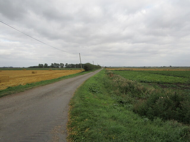
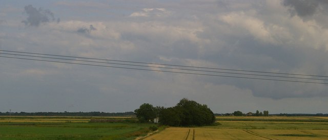
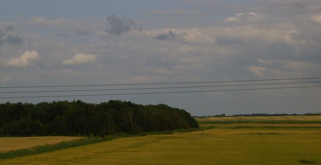
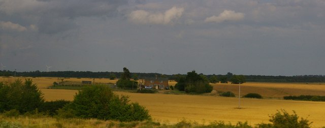
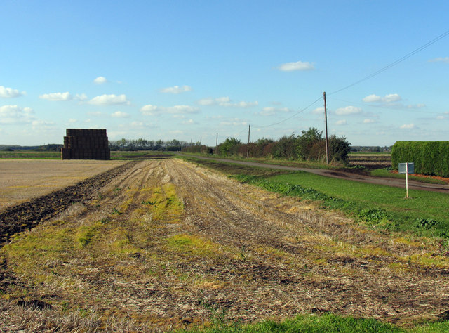
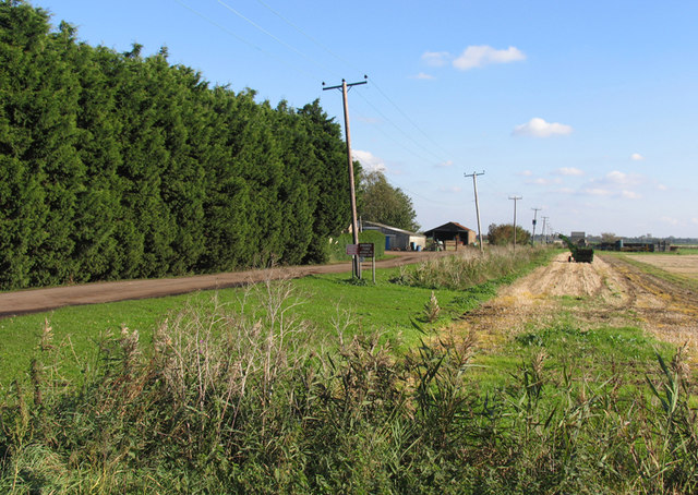
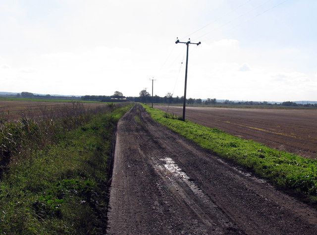
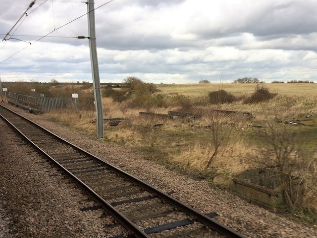
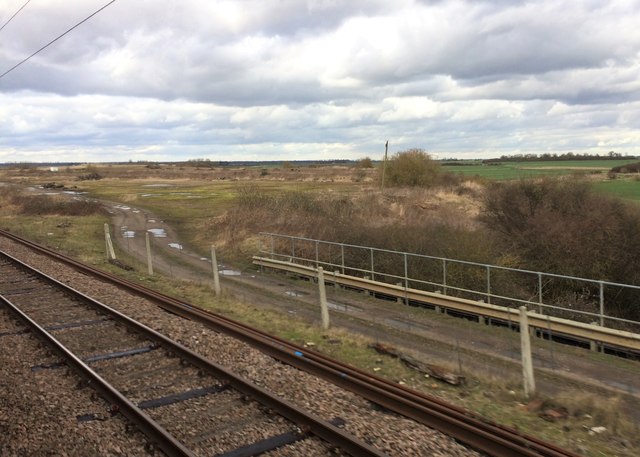
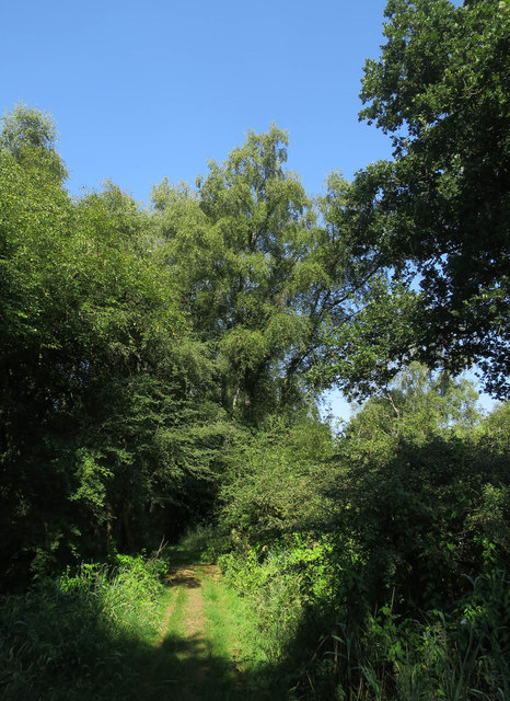
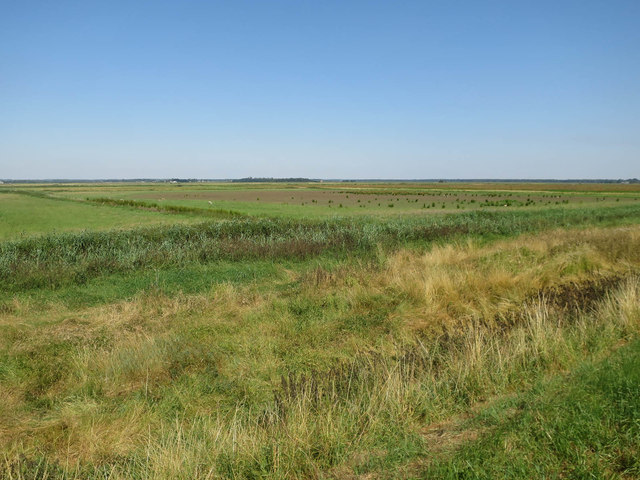
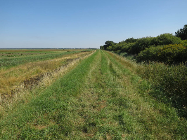
Higney Wood Images

Images are sourced within 2km of 52.444382/-0.22229367 or Grid Reference TL2084. Thanks to Geograph Open Source API. All images are credited.

Stubble field, Conington Fen
Lane in Conington Fen
Reservoir
Reservoir
Stubble fields and dry drain near Gault Hill Farm The very edge of the Fens.
Stubble fields and dry drain near Gault Hill Farm
The very edge of the Fens.
Stubble field near Ivy Farm Looking towards the East Coast Main Line.
Stubble field near Ivy Farm
Looking towards the East Coast Main Line.
Prepared field and Gault Hill Farm Hill is relative in this flat landscape.
Prepared field and Gault Hill Farm
Hill is relative in this flat landscape.
Lane near Ivy Farm Looking towards Ivy Farm.
Lane near Ivy Farm
Looking towards Ivy Farm.
Patch of woodland near Cobalder Farm Beyond and to the right, the buildings of Middle Farm in <a href="https://www.geograph.org.uk/gridref/TL2185">TL2185</a>.
Patch of woodland near Cobalder Farm
Beyond and to the right, the buildings of Middle Farm in TL2185.
Cobalder Spinney from the railway
Higney Grange Cottages, from the railway
Away from Eternity Hall Farm
Eternity Hall Farm
Eternity Hall Farm
Track to Cobalder Farm
View from a Peterborough-London train - Disused railway land
View from a Peterborough-London train - Disused railway land This area was formerly a civil engineer's tip for spent railway ballast.
View from a Peterborough-London train - Disused railway land
This area was formerly a civil engineer's tip for spent railway ballast.
Path in Woodwalton Fen
Great Fen Project Converting arable land into some sort of wetland, though with little water level control.
Great Fen Project
Converting arable land into some sort of wetland, though with little water level control.
West bank of Woodwalton Fen
Show me another place!

Higney Wood is located at Grid Ref: TL2084 (Lat: 52.444382, Lng: -0.22229367)

Administrative County: Cambridgeshire

District: Huntingdonshire

Police Authority: Cambridgeshire

What 3 Words

///graphic.lifeboats.defeat. Near Sawtry, Cambridgeshire

Nearby Locations

Higney Wood

Related Wikis

Connington South rail crash

The Connington South rail crash occurred on 5 March 1967 on the East Coast Main Line near the village of Conington, Huntingdonshire, England. Five passengers...

Woodwalton Castle

Woodwalton Castle was a small motte and bailey castle at Church End, the northern end of the parish of Woodwalton, Huntingdonshire. Located on a natural...

Woodwalton Fen

Woodwalton Fen is a 209-hectare biological Site of Special Scientific Interest in the parish of Woodwalton, west of Ramsey in Huntingdonshire, Cambridgeshire...

Sawtry Abbey

Sawtry Abbey was a Cistercian abbey located between Sawtry and Woodwalton in Cambridgeshire, England. The abbey was founded in 1147 by Simon II de Senlis...

Nearby Amenities

Located within 500m of 52.444382,-0.22229367
Power: pole
Lat/Long: 52.443934/-0.2294764
Power: pole
Lat/Long: 52.4431528/-0.229245
The data included in this document is from www.openstreetmap.org. The data is made available under ODbL.

Have you been to Higney Wood?

Leave your review of Higney Wood below (or comments, questions and feedback).