Bigpursley Wood
Wood, Forest in Hertfordshire Hertsmere
England
Bigpursley Wood

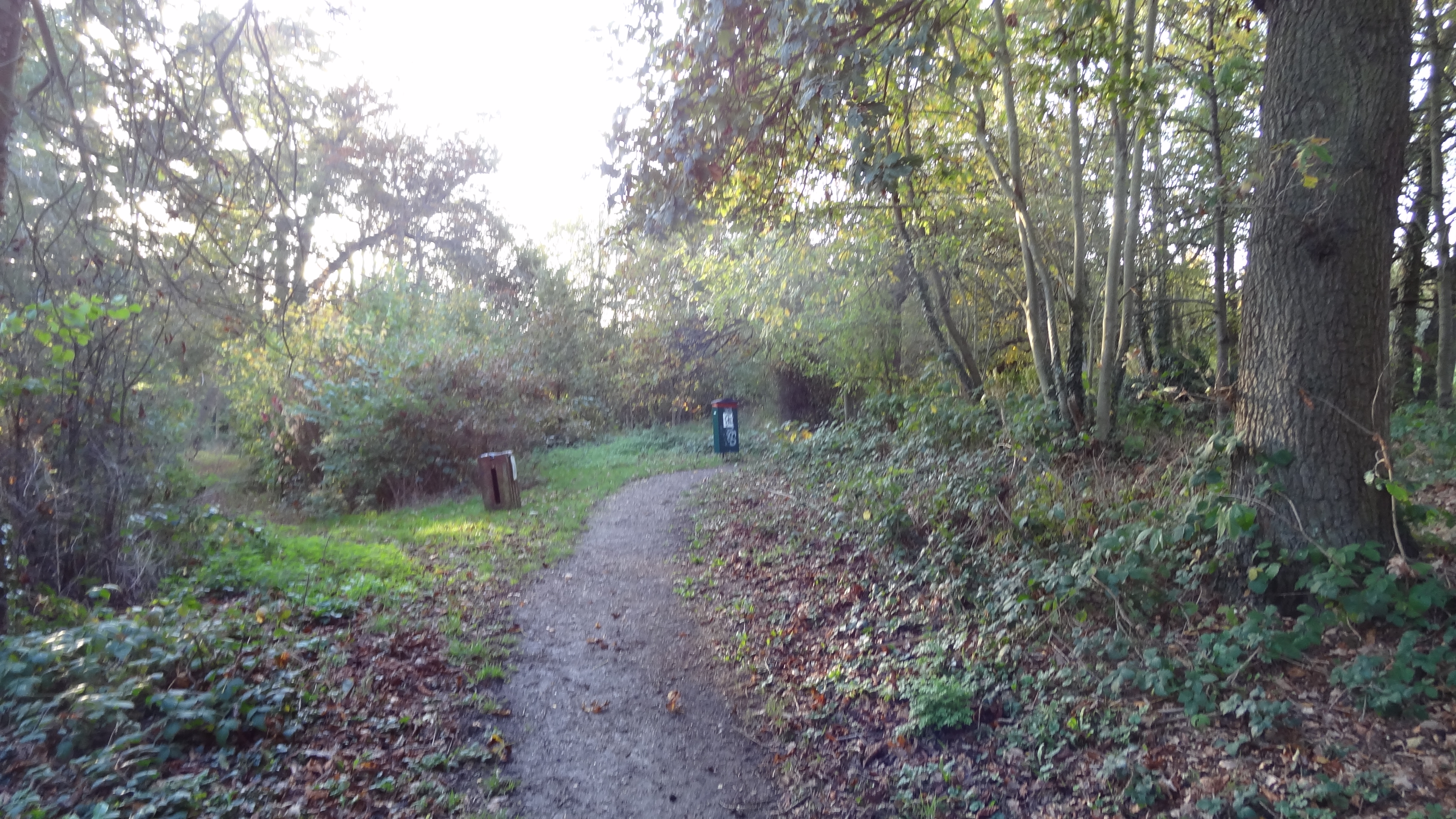
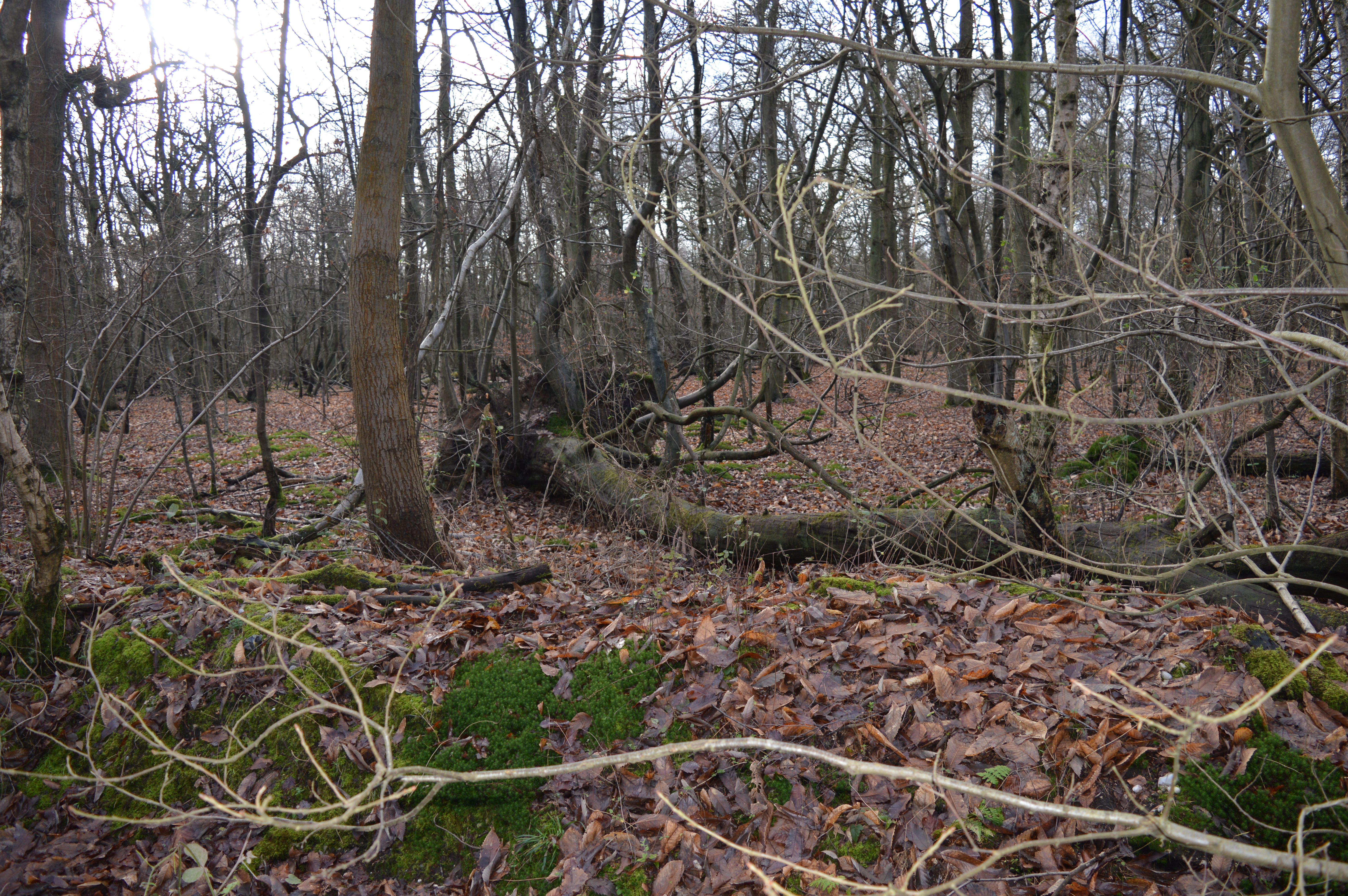
Bigpursley Wood is a picturesque woodland located in the county of Hertfordshire, England. Nestled in the heart of the county, the wood covers an area of approximately 100 acres, providing a haven of natural beauty and tranquility for locals and visitors alike.
The wood is characterized by its diverse range of tree species, including oak, beech, and ash, which create a dense canopy that filters sunlight and casts shadows on the forest floor. These towering trees provide a habitat for various wildlife species, such as squirrels, deer, and a variety of bird species, making it a popular spot for nature enthusiasts and birdwatchers.
A network of well-maintained footpaths and trails wind through Bigpursley Wood, allowing visitors to explore its enchanting beauty. The paths meander through ancient woodland, carpeted with bluebells in the springtime and adorned with vibrant autumn foliage later in the year.
In addition to its natural wonders, Bigpursley Wood also offers recreational facilities for visitors. There are designated picnic areas where families and friends can enjoy a leisurely lunch amidst the tranquil surroundings. Furthermore, the wood has a small playground for children, adding to its appeal as a family-friendly destination.
Bigpursley Wood is managed and maintained by the local authorities, ensuring its protection and preservation for generations to come. It serves as a valuable resource for the local community, providing a peaceful retreat from the hustle and bustle of everyday life, as well as an opportunity to reconnect with nature.
If you have any feedback on the listing, please let us know in the comments section below.
Bigpursley Wood Images
Images are sourced within 2km of 51.689053/-0.2598522 or Grid Reference TL2000. Thanks to Geograph Open Source API. All images are credited.


Bigpursley Wood is located at Grid Ref: TL2000 (Lat: 51.689053, Lng: -0.2598522)
Administrative County: Hertfordshire
District: Hertsmere
Police Authority: Hertfordshire
What 3 Words
///blog.renew.gear. Near Shenley, Hertfordshire
Nearby Locations
Related Wikis
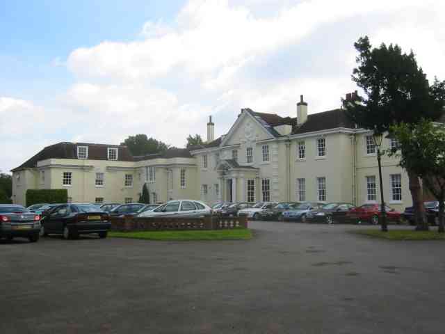
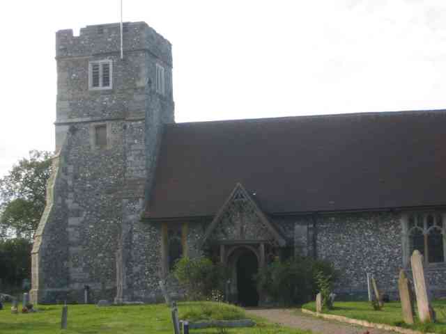
Shenley Hall
Shenley Hall is a Grade II listed English country house at Shenley in Hertfordshire. == History == Built in the 19th century, the hall benefited from additions...

Clare Hall Manor
Clare Hall Manor is a former health facility in Blanche Lane, South Mimms, Hertfordshire, England. It is a Grade II listed building. == History == The...
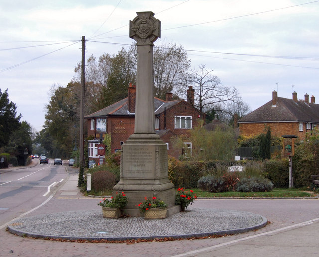
Shenley
Shenley is a village and civil parish in Hertfordshire, England, between Barnet and St Albans. The village is located 14 miles from Central London. As...

Watling Chase Community Forest
Watling Chase Community Forest is an area of 72 square miles located in north London and south Hertfordshire around the towns of Potters Bar, Radlett,...
Watling Chase Timberland Trail
The Watling Chase Timberland Trail is a 10.5 mile footpath in the Watling Chase Community Forest in Hertfordshire. It starts at Elstree & Borehamwood railway...

Ridge, Hertfordshire
Ridge is a village and former civil parish, now in the parish of South Mimms and Ridge, in the Hertsmere borough of Hertfordshire, situated between Potters...
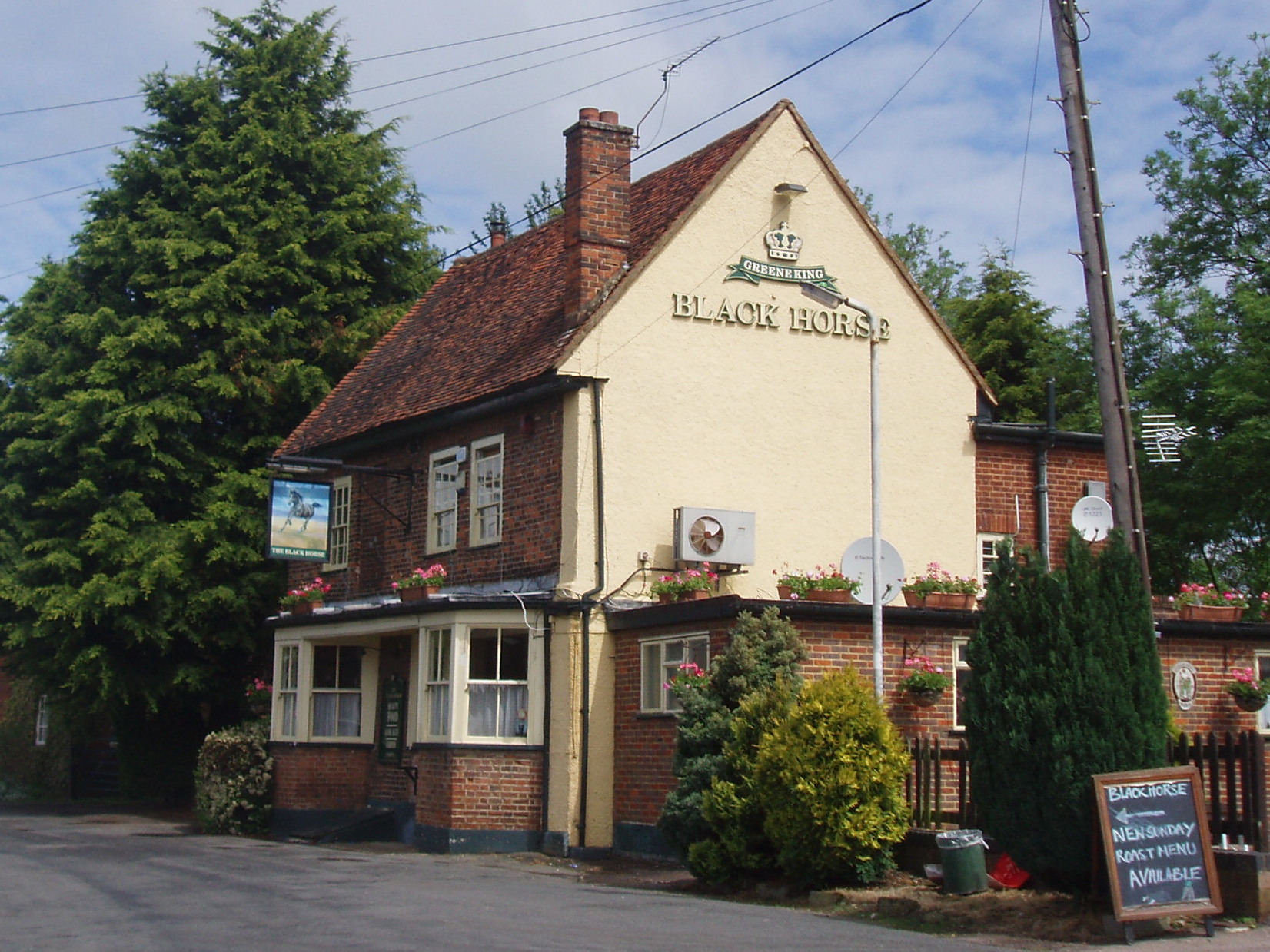
Black Horse, South Mimms
The Black Horse is a Grade II listed public house on Blackhorse Lane in South Mimms, Hertfordshire, England. == History == The pub can be dated to the...
Redwell Wood
Redwell Wood is a 52.8-hectare (130-acre) biological Site of Special Scientific Interest near South Mimms in Hertfordshire. The local planning authority...
Nearby Amenities
Located within 500m of 51.689053,-0.2598522Have you been to Bigpursley Wood?
Leave your review of Bigpursley Wood below (or comments, questions and feedback).