Holme Lode Covert

Wood, Forest in Huntingdonshire Huntingdonshire

England

Holme Lode Covert

Holme Brook Rather overgrown.  The brook is passing beneath a Network Rail access track adjacent to the East Coast Main Line.
Holme Brook Credit: Jonathan Thacker

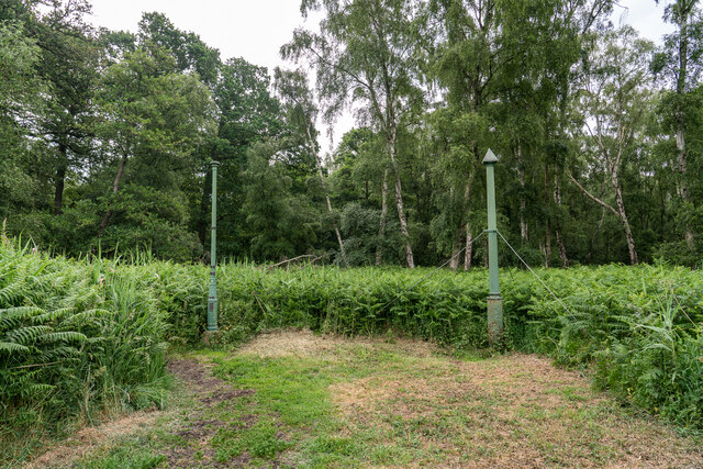
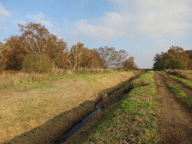
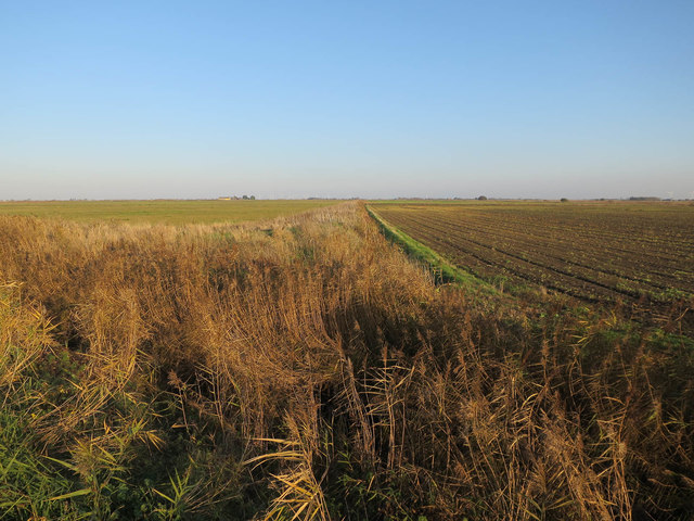
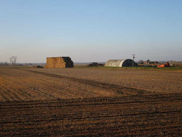
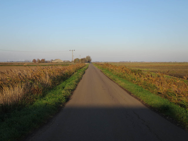
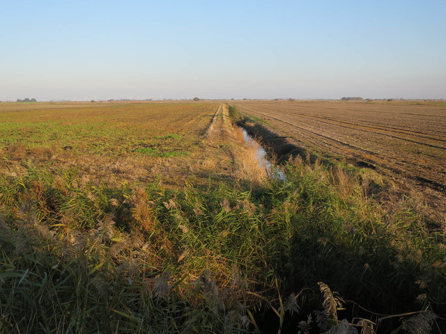
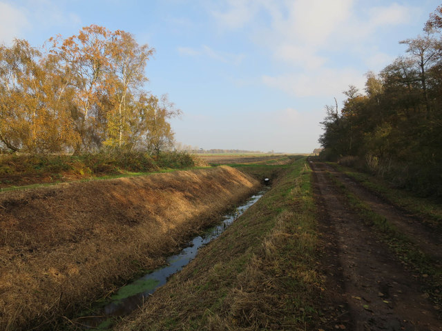
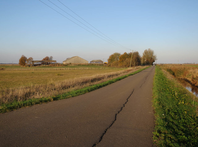
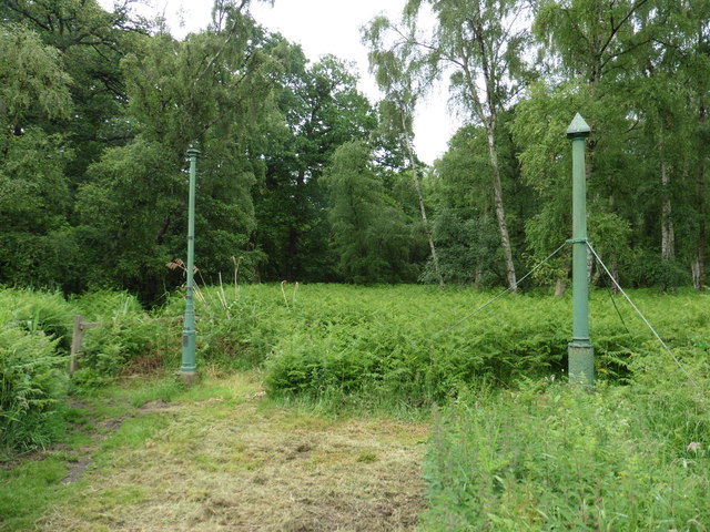
Holme Lode Covert is a small wood located in the county of Huntingdonshire, England. Situated near the village of Holme, this woodland covers an area of approximately 20 acres. The covert is nestled in a rural landscape, surrounded by farmland and open fields, making it a picturesque and tranquil setting.

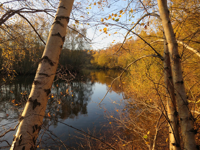
The wood is predominantly composed of native tree species, including oak, ash, and birch. These trees create a dense canopy that provides shade and shelter for a variety of wildlife. The undergrowth consists of a mixture of grasses, ferns, and wildflowers, adding to the natural beauty of the area.

Holme Lode Covert is home to a diverse range of wildlife. Bird enthusiasts can spot species such as woodpeckers, tits, and finches, while lucky visitors may even catch a glimpse of the elusive tawny owl. The woodland also provides a habitat for small mammals like hedgehogs, voles, and shrews. Additionally, the surrounding fields attract larger animals such as deer and hares.

The wood is popular among nature lovers, walkers, and photographers, who appreciate its peaceful atmosphere and scenic views. There are well-maintained footpaths that allow visitors to explore the area and observe the flora and fauna up close. The wood also serves as a nature reserve, ensuring the preservation of its unique ecosystem.

In summary, Holme Lode Covert is a charming woodland in Huntingdonshire, offering a delightful escape into nature. With its diverse range of trees, wildlife, and tranquil ambiance, it is a haven for those seeking solace in the natural world.

If you have any feedback on the listing, please let us know in the comments section below.

Holme Lode Covert Images

Images are sourced within 2km of 52.48554/-0.22869072 or Grid Reference TL2088. Thanks to Geograph Open Source API. All images are credited.

Holme Brook Rather overgrown.  The brook is passing beneath a Network Rail access track adjacent to the East Coast Main Line.
Holme Brook
Rather overgrown. The brook is passing beneath a Network Rail access track adjacent to the East Coast Main Line.
Church Street, Holme
Barn at Ladyseat Farm With a -2m spot height and close to the Holme Fen posts, this is potentially the lowest farm in the country.
Barn at Ladyseat Farm
With a -2m spot height and close to the Holme Fen posts, this is potentially the lowest farm in the country.
Sewage works at Holme The East Coast Main Line railway in the background.
Sewage works at Holme
The East Coast Main Line railway in the background.
Holme Church of England Primary School
St Giles' church, Holme Designed in 1862 by Edward Browning <span class="nowrap"><a title="https://en.wikipedia.org/wiki/Edward_Browning" rel="nofollow ugc noopener" href="https://en.wikipedia.org/wiki/Edward_Browning">Link</a><img style="margin-left:2px;" alt="External link" title="External link - shift click to open in new window" src="https://s1.geograph.org.uk/img/external.png" width="10" height="10"/></span> partly using old materials <span class="nowrap"><a title="https://historicengland.org.uk/listing/the-list/list-entry/1215533?section=official-list-entry" rel="nofollow ugc noopener" href="https://historicengland.org.uk/listing/the-list/list-entry/1215533?section=official-list-entry">Link</a><img style="margin-left:2px;" alt="External link" title="External link - shift click to open in new window" src="https://s1.geograph.org.uk/img/external.png" width="10" height="10"/></span>
St Giles' church, Holme
Designed in 1862 by Edward Browning LinkExternal link partly using old materials LinkExternal link
Holme Fen Posts Believed to be the lowest land point at nearly -3m below sea level . The posts were used to measure the shrinkage as the water was drained. The tops mark the height the land used to be in 1848. 

<span class="nowrap"><a title="https://www.greatfen.org.uk/about-great-fen/heritage/holme-fen-posts" rel="nofollow ugc noopener" href="https://www.greatfen.org.uk/about-great-fen/heritage/holme-fen-posts">Link</a><img style="margin-left:2px;" alt="External link" title="External link - shift click to open in new window" src="https://s1.geograph.org.uk/img/external.png" width="10" height="10"/></span>
Holme Fen Posts
Believed to be the lowest land point at nearly -3m below sea level . The posts were used to measure the shrinkage as the water was drained. The tops mark the height the land used to be in 1848. LinkExternal link
New ditch by Holme Fen Part of the Great Fen works converting land around Holme Fen to grazing and wetland.
New ditch by Holme Fen
Part of the Great Fen works converting land around Holme Fen to grazing and wetland.
Path, New Decoy Farm Heading towards Holme Fen.
Path, New Decoy Farm
Heading towards Holme Fen.
Track to Holme Fen Holme Fen is a mostly birch woodland.
Track to Holme Fen
Holme Fen is a mostly birch woodland.
Pond in Jackson's Covert, Holme Fen
Ditch off New Long Drove
Nissen Hut off New Long Drove
New Long Drove
New Long Drove
Ditch near Ladyseat Farm
Ditch by Railway Covert
New Long Drove towards Tower Farm
Holme Fen Posts Mark the lowest point in the UK.
Holme Fen Posts
Mark the lowest point in the UK.
Show me another place!

Holme Lode Covert is located at Grid Ref: TL2088 (Lat: 52.48554, Lng: -0.22869072)

Administrative County: Cambridgeshire

District: Huntingdonshire

Police Authority: Cambridgeshire

What 3 Words

///upcoming.windy.clinic. Near Stilton, Cambridgeshire

Nearby Locations

Holme Lode Covert

Related Wikis

Holme Fen

Holme Fen is a 269.4-hectare (666-acre) biological Site of Special Scientific Interest near Holme in Cambridgeshire. It is also a National Nature Reserve...

The Fens

The Fens or Fenlands in eastern England are a naturally marshy region supporting a rich ecology and numerous species. Most of the fens were drained centuries...

Holme railway station (Cambridgeshire)

Holme railway station is a former station in Holme, Cambridgeshire. == History == The first section of the Great Northern Railway (GNR) - that from Louth...

Battle of the Holme

The Battle of the Holme took place in East Anglia on 13 December 902 where the Anglo-Saxon men of Wessex and Kent fought against the Danelaw and East Anglian...
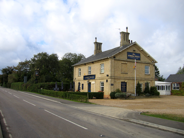
Admiral Wells

The Admiral Wells is a public house in Holme, Huntingdonshire, now in Cambridgeshire. Nearby Holme Fen is 2.75 metres (9.0 feet) below sea level, and the...

Holme, Cambridgeshire

Holme is a village and civil parish in Cambridgeshire, England. Holme lies approximately 7 miles (11 km) south of Peterborough, near Conington and Yaxley...

Peterborough Business Airport

Peterborough Business Airport (ICAO: EGSF) is a privately owned airfield in the English county of Cambridgeshire near the villages of Holme and Conington...

Whittlesey Mere

Whittlesea Mere was an area of open water in the Fenland area of the county of Huntingdonshire (now Cambridgeshire), England. The mere occupied the land...

Nearby Amenities

Located within 500m of 52.48554,-0.22869072
Holme Post
Description: they show peat shrinkage
Historic: memorial
Lat/Long: 52.4892036/-0.2299056
Information: board
Tourism: information
Lat/Long: 52.4891868/-0.23014
Holme Post
Description: they show peat shrinkage
Historic: memorial
Lat/Long: 52.4891543/-0.2299749
The data included in this document is from www.openstreetmap.org. The data is made available under ODbL.

Have you been to Holme Lode Covert?

Leave your review of Holme Lode Covert below (or comments, questions and feedback).