Great Wood

Wood, Forest in Surrey Epsom and Ewell

England

Great Wood

Service station on Chessington Road / Ruxley Lane Petrol 183.9p
Diesel 193.9p.
Service station on Chessington Road / Ruxley Lane Credit: JThomas

Great Wood is a large forest located in the county of Surrey, England. Spanning an area of approximately 2,000 acres, it is considered one of the largest woodlands in the region. The forest is situated near the town of Haslemere and is part of the Surrey Hills Area of Outstanding Natural Beauty.

Great Wood is characterized by its diverse and abundant flora and fauna. The woodland is predominantly made up of deciduous trees, including oak, beech, and birch. These trees create a dense canopy that provides shade and shelter for a variety of smaller plants and animals. Bluebells, wood anemones, and wild garlic are among the many wildflowers that can be found carpeting the forest floor during the spring.

The forest is also home to a wide range of wildlife. Deer, foxes, and badgers are commonly spotted in the wood, while birdwatchers can enjoy the sight of woodpeckers, owls, and various songbirds. Great Wood is particularly known for its population of nightjars, a nocturnal bird species that migrates to the forest during the summer months.

Great Wood offers numerous recreational opportunities for visitors. There are several well-marked walking trails that meander through the forest, allowing visitors to explore its beauty at their own pace. The forest is also a popular spot for cycling, horse riding, and picnicking. In addition, there are designated areas for camping and barbecues, making Great Wood a favorite destination for outdoor enthusiasts and nature lovers alike.

If you have any feedback on the listing, please let us know in the comments section below.
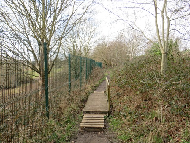
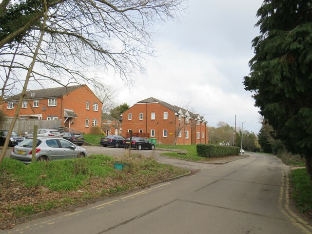
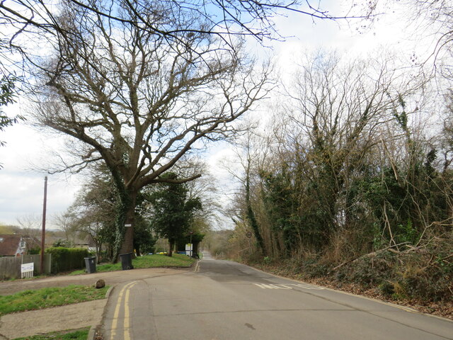
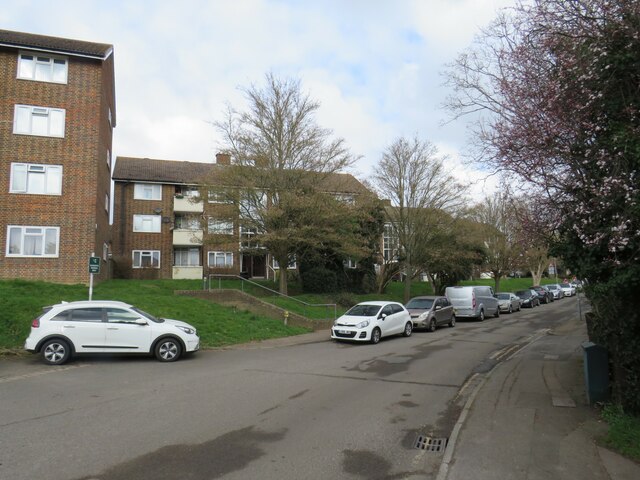
Great Wood Images

Images are sourced within 2km of 51.353528/-0.28165685 or Grid Reference TQ1963. Thanks to Geograph Open Source API. All images are credited.

Service station on Chessington Road / Ruxley Lane Petrol 183.9p
Diesel 193.9p.
Service station on Chessington Road / Ruxley Lane
Petrol 183.9p Diesel 193.9p.
Chessington Road
Chessington Road
The William Bourne, Chessington Formerly The Bonesgate - on Moor Lane.
The William Bourne, Chessington
Formerly The Bonesgate - on Moor Lane.
Moor Lane, Chessington
Houses on Padley Close, Chessington
Padley Close, Chessington
Chessington Methodist Church
Moor Lane, Chessington
The Chessington Oak
The Chessington Oak
The Chessington Oak On Moor Lane.
The Chessington Oak
On Moor Lane.
Railway bridge over Bridge Road
George VI postbox on Moor Lane, Chessington Postbox No. KT9 305.
George VI postbox on Moor Lane, Chessington
Postbox No. KT9 305.
Chessington South station The station building at Chessington South railway station.
Chessington South station
The station building at Chessington South railway station.
Vivien Close, Chessington Vivien Close is a residential cul-de-sac in Chessington, on the fringe of south west London.  This photo was taken from a nearby public footpath.
Vivien Close, Chessington
Vivien Close is a residential cul-de-sac in Chessington, on the fringe of south west London. This photo was taken from a nearby public footpath.
Public footpath, Chessington A short wooden bridge on a public footpath in Chessington, on the fringe of south west London.
Public footpath, Chessington
A short wooden bridge on a public footpath in Chessington, on the fringe of south west London.
Green Lane, Chessington Green Lane in Chessington, on the outer fringe of south west London, passing a modern housing development.
Green Lane, Chessington
Green Lane in Chessington, on the outer fringe of south west London, passing a modern housing development.
Green Lane, Chessington Green Lane in Chessington, on the outer fringe of south west London.
Green Lane, Chessington
Green Lane in Chessington, on the outer fringe of south west London.
Green Lane, Chessington Green Lane is a minor road through a housing estate in Chessington, in the outskirts of south west London.
Green Lane, Chessington
Green Lane is a minor road through a housing estate in Chessington, in the outskirts of south west London.
Show me another place!

Great Wood is located at Grid Ref: TQ1963 (Lat: 51.353528, Lng: -0.28165685)

Administrative County: Surrey

District: Epsom and Ewell

Police Authority: Surrey

What 3 Words

///lies.list.sobs. Near Chessington, London

Related Wikis

Horton Country Park

Horton Country Park is a 152.3-hectare (376-acre) Local Nature Reserve north-west of Epsom in Surrey. It is owned and managed by Epsom and Ewell Borough...

St Ebba's Hospital

St Ebba's Hospital formerly Ewell Epileptic Colony (1904–1918) and later Ewell Mental Hospital (1927–1938) is a mental handicap and former psychiatric...

Long Grove Hospital

Long Grove Hospital, formerly Long Grove Asylum, was a mental hospital, part of the Epsom Cluster of hospitals in the Horton area of Epsom, Surrey in the...

Horton, Surrey

Horton is a semi-rural area with a village centre in the west of the borough of Epsom and Ewell, in the English county of Surrey. It is situated between...

Castle Hill, Chessington

Castle Hill is a 3.5-hectare (8.6-acre) scheduled monument, local nature reserve and Site of Borough Importance for Nature Conservation, Grade 1, in Chessington...

Bonesgate Open Space

Bonesgate Open Space is a public park, Local Nature Reserve (LNR) and Site of Borough Importance for Nature Conservation, Grade 1, in Chessington in the...

Epsom Cluster

The Epsom Cluster, also referred to as the Horton Estate, was a cluster or group of five large psychiatric hospitals situated on land to the west of Epsom...

Horton Hospital

Horton Hospital, formerly called Horton Asylum, was a large psychiatric hospital in the Horton area of Epsom, Surrey. == History == === Origins === The hospital...

Nearby Amenities

Located within 500m of 51.353528,-0.28165685
Crossing
Lat/Long: 51.353229/-0.275829
Post Box
Ref: KT19 358
Lat/Long: 51.3508058/-0.284257
Bus Stop
Horton Lane
Naptan AtcoCode: 40004406075A
Naptan Bearing: N
Naptan CommonName: Horton Lane
Naptan Indicator: Just Before
Naptan Landmark: Horton Lane
Naptan NaptanCode: surajtgj
Naptan Street: Hook Road
Naptan Verified: no
Public Transport: platform
Source: naptan_import
Lat/Long: 51.3532471/-0.2759999
Bus Stop
Horton Lane
Naptan AtcoCode: 40004406075B
Naptan Bearing: S
Naptan CommonName: Horton Lane
Naptan Indicator: Just after
Naptan Landmark: Horton Lane
Naptan NaptanCode: surajtgm
Naptan Street: Hook Road
Naptan Verified: no
Public Transport: platform
Source: naptan_import
Lat/Long: 51.3528704/-0.2758763
Bus Stop
Oakwood Avenue
Naptan AtcoCode: 40004406155A
Naptan Bearing: N
Naptan CommonName: Oakwood Avenue
Naptan Indicator: Just Before
Naptan Landmark: Oakwood Avenue
Naptan NaptanCode: surgdwmt
Naptan Street: Horton Lane
Naptan Verified: no
Public Transport: platform
Source: naptan_import
Lat/Long: 51.3495125/-0.2830288
Bus Stop
Oakwood Avenue
Naptan AtcoCode: 40004406155B
Naptan Bearing: S
Naptan CommonName: Oakwood Avenue
Naptan Indicator: Just after
Naptan Landmark: Oakwood Avenue
Naptan NaptanCode: surgdwmw
Naptan Street: Horton Lane
Naptan Verified: no
Public Transport: platform
Source: naptan_import
Lat/Long: 51.3494925/-0.2828859
Bus Stop
Sandy Mead
Naptan AtcoCode: 40004406161A
Naptan Bearing: NE
Naptan CommonName: Sandy Mead
Naptan Indicator: Just after
Naptan Landmark: Oakwood Avenue
Naptan NaptanCode: surgdwta
Naptan Street: Oakwood Avenue
Naptan Verified: no
Public Transport: platform
Source: naptan_import
Lat/Long: 51.3502137/-0.2854544
Bus Stop
Sandy Mead
Naptan AtcoCode: 40004406161B
Naptan Bearing: SW
Naptan CommonName: Sandy Mead
Naptan Indicator: Just before
Naptan Landmark: Oakwood Avenue
Naptan NaptanCode: surgdwtd
Naptan Street: Oakwood Avenue
Naptan Verified: no
Public Transport: platform
Source: naptan_import
Lat/Long: 51.3500838/-0.2853982
Crossing
Lat/Long: 51.3501557/-0.2827661
Crossing
Lat/Long: 51.3500878/-0.2828534
Crossing
Crossing: uncontrolled
Lat/Long: 51.3535012/-0.2763768
Crossing
Crossing: uncontrolled
Lat/Long: 51.3535652/-0.276496
Crossing
Bicycle: yes
Button Operated: yes
Crossing: traffic_signals
Crossing Island: no
Crossing Markings: dots
Crossing Signals: yes
Crossing Ref: toucan
Kerb: lowered
Tactile Paving: yes
Lat/Long: 51.3543962/-0.2755293
Crossing
Lat/Long: 51.3532411/-0.2759196
Golf: pin
Lat/Long: 51.3557068/-0.2783243
Golf: pin
Lat/Long: 51.357847/-0.2809586
Barrier: cycle_barrier
Bicycle: yes
Cycle Barrier: double
Cycle Barrier Installation: fixed
Foot: yes
Lat/Long: 51.3543309/-0.2753437
Tactile Paving: yes
Lat/Long: 51.3543545/-0.2754116
Barrier: kerb
Kerb: lowered
Tactile Paving: yes
Lat/Long: 51.3543799/-0.2754843
Barrier: kerb
Kerb: lowered
Tactile Paving: yes
Lat/Long: 51.3544133/-0.2755765
Traffic Signals
Crossing: no
Traffic Signals: pedestrian_crossing
Traffic Signals Direction: forward
Lat/Long: 51.3544311/-0.2755018
Traffic Signals
Crossing: no
Traffic Signals: pedestrian_crossing
Traffic Signals Direction: backward
Lat/Long: 51.3543648/-0.2755576
Give Way
Direction: backward
Lat/Long: 51.354466/-0.2755734
Give Way
Direction: forward
Lat/Long: 51.354382/-0.2756423
Tactile Paving: yes
Lat/Long: 51.3543917/-0.2756346
Tactile Paving: yes
Lat/Long: 51.3544571/-0.2755809
Direction: forward
Traffic Sign: GB:614
Lat/Long: 51.355002/-0.2748726
Apple (41)
Denotation: orchard
Leaf Cycle: deciduous
Lat/Long: 51.3524656/-0.2833695
Horton Memorial
Historic: memorial
Inscription: To commemorate the patients who died and were buried in Horton Cemetery from 1899 – 1953
Lat/Long: 51.3534105/-0.2765214
The data included in this document is from www.openstreetmap.org. The data is made available under ODbL.

Have you been to Great Wood?

Leave your review of Great Wood below (or comments, questions and feedback).