Holming Wood

Wood, Forest in Sussex Horsham

England

Holming Wood

Wimland Farm, Near Faygate, West Sussex A standard sized farmstead for the area, and one where farming appears to still be the main activity. Small pond behind the bushes on the left. View taken from the public road immediately to the N.
Wimland Farm, Near Faygate, West Sussex Credit: Pete Chapman

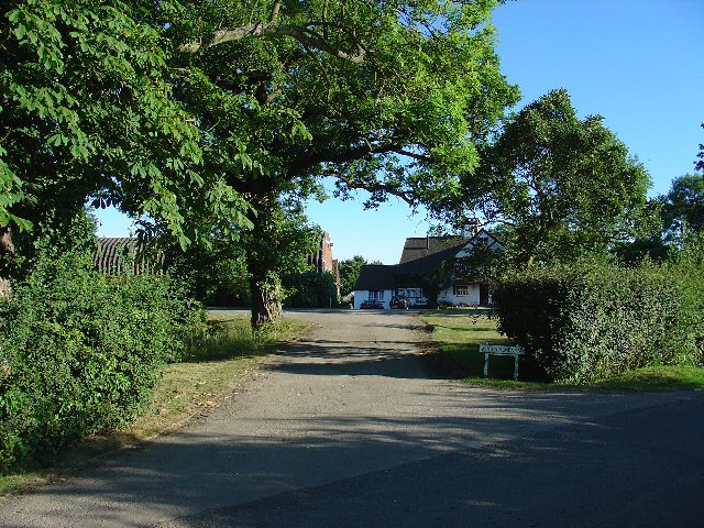
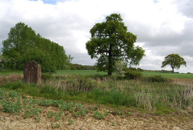
Holming Wood, located in Sussex, is a picturesque and ancient woodland that covers approximately 50 acres. It is situated in the heart of the South Downs National Park, making it a popular destination for nature enthusiasts and outdoor adventurers alike. The wood is known for its diverse range of flora and fauna, offering a haven for wildlife and a tranquil retreat for visitors.

With its origins dating back centuries, Holming Wood boasts a rich history and is considered a significant archaeological site. The wood is believed to have been used by early settlers for various purposes, including timber production, hunting, and even as a sacred site. Archaeological excavations have uncovered evidence of human activity, such as prehistoric burial mounds and ancient pathways, adding to the allure and intrigue of the wood.

The woodland is characterized by a mix of broadleaf trees, including oak, beech, and ash, which create a dense canopy, offering shade and shelter to its inhabitants. The forest floor is adorned with a vibrant carpet of wildflowers during spring and summer, attracting a myriad of insects and butterflies. The wood is also home to a wide range of bird species, such as woodpeckers, owls, and various songbirds, making it a paradise for birdwatchers.

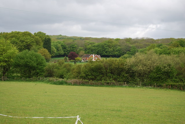
Holming Wood offers a network of walking trails, allowing visitors to explore the natural beauty at their own pace. The winding paths lead to hidden clearings, ancient trees, and babbling streams, providing a sense of tranquility and a connection to the natural world. It is a perfect destination for those seeking solace in nature and a chance to immerse themselves in the beauty of the Sussex countryside.

If you have any feedback on the listing, please let us know in the comments section below.
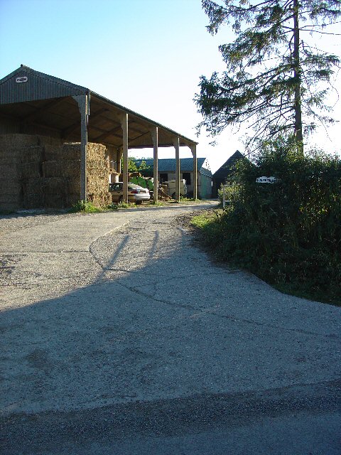
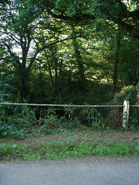
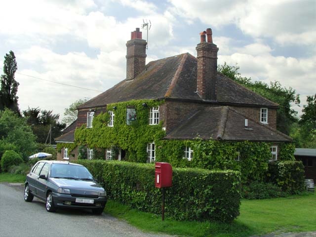
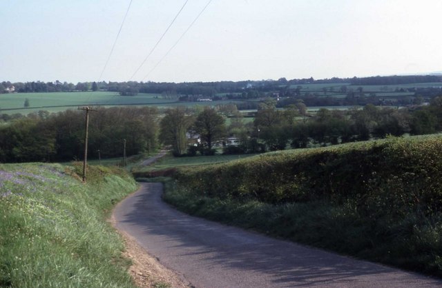
Holming Wood Images

Images are sourced within 2km of 51.103628/-0.29885274 or Grid Reference TQ1935. Thanks to Geograph Open Source API. All images are credited.

Wimland Farm, Near Faygate, West Sussex A standard sized farmstead for the area, and one where farming appears to still be the main activity. Small pond behind the bushes on the left. View taken from the public road immediately to the N.
Wimland Farm, Near Faygate, West Sussex
A standard sized farmstead for the area, and one where farming appears to still be the main activity. Small pond behind the bushes on the left. View taken from the public road immediately to the N.
Phone Mast, Wimland Farm, Near Faygate, West Sussex Phone mast in amongst the farm buildings of the main farmstead.
Phone Mast, Wimland Farm, Near Faygate, West Sussex
Phone mast in amongst the farm buildings of the main farmstead.
Road Junction near Wimland Farm, Faygate, West Sussex All narrow (single track) roads. The sign was a bit dilapidated - the central limb (to Faygate) was missing.
Road Junction near Wimland Farm, Faygate, West Sussex
All narrow (single track) roads. The sign was a bit dilapidated - the central limb (to Faygate) was missing.
Houses at Gardeners Green, Rusper, West Sussex On the outskirts of the village of Rusper. This is a private estate of houses. This is an example of ribbon development along the existing rural roads. Viewed from Horsham Road looking N.
Houses at Gardeners Green, Rusper, West Sussex
On the outskirts of the village of Rusper. This is a private estate of houses. This is an example of ribbon development along the existing rural roads. Viewed from Horsham Road looking N.
Barn at Coombers Farm, Faygate, West Sussex Many of the farms marked on the map in this area have now become solely residential properties, with no indication of any farming activity. Coombers Farm, however, has this sturdy (and used) modern style barn.
Barn at Coombers Farm, Faygate, West Sussex
Many of the farms marked on the map in this area have now become solely residential properties, with no indication of any farming activity. Coombers Farm, however, has this sturdy (and used) modern style barn.
Tributary of River Mole, Near Coombers Farm, Faygate, West Sussex. The River Mole is one of the main rivers in the area. This is a very young tributary. The stream runs through a narrow strip of trees for around 2km at this point. See the River Mole again in grid square TQ2337.
Tributary of River Mole, Near Coombers Farm, Faygate, West Sussex.
The River Mole is one of the main rivers in the area. This is a very young tributary. The stream runs through a narrow strip of trees for around 2km at this point. See the River Mole again in grid square TQ2337.
The Frog and Nightgown An extraordinary pub - it's a window into the past.
The Frog and Nightgown
An extraordinary pub - it's a window into the past.
View from Wimland Hill
Ruined Cow Shed by the footpath
Footpath entering a small wood near Wimland Rd
Young trees near Wimland Rd
Wimland Rd
Wimland Rd
Benson's Cottage from Wimland Rd
The Frog & Nightgown, Wimland Rd CAMRA (Campaign for Real Ale) publish an annual guide of about 5000 of the pubs in Britain serving consistently high quality real ale. All pubs in this collection have been regular entries & good beer is assured.
The Frog & Nightgown, Wimland Rd
CAMRA (Campaign for Real Ale) publish an annual guide of about 5000 of the pubs in Britain serving consistently high quality real ale. All pubs in this collection have been regular entries & good beer is assured.
Wimland Rd & Benson Lane junction
Benson Farm, Wimland Rd
Footpath off Wimland Rd, opposite Benson Farm
Derelict Barn, Benson Farm, Wimland Rd
Show me another place!

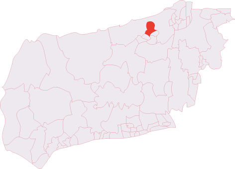
Holming Wood is located at Grid Ref: TQ1935 (Lat: 51.103628, Lng: -0.29885274)

Administrative County: West Sussex

District: Horsham

Police Authority: Sussex

What 3 Words

///chainsaw.dogs.dried. Near Warnham, West Sussex

Related Wikis

Bohunt Horsham

Bohunt Horsham is a coeducational all-through school located in Horsham, West Sussex, England. The school opened to 120 students in Year 7 in 2019 in temporary...

Warnham SSSI

Warnham SSSI is a 28.5-hectare (70-acre) geological Site of Special Scientific Interest north of Horsham in West Sussex. It is a Geological Conservation...

Holbrook (electoral division)

Holbrook is an electoral division of West Sussex in the United Kingdom and returns one member to sit on West Sussex County Council. The current County...

Graylands

Graylands is a hamlet in the Horsham district of West Sussex, England. The largely rural hamlet is located north of Holbrook beyond the A264. It is bordered...

Old Holbrook

Old Holbrook (formerly known as Northlands) is a hamlet in the Horsham district of West Sussex, England. This rural hamlet is located north of the Horsham...

Roffey F.C.

Roffey F.C. is an English football club located in Roffey, Horsham in West Sussex. The club are currently members of the Southern Combination Division...

North Horsham railway station

North Horsham is a proposed railway station in Horsham, West Sussex which would serve the North Horsham Business Park. The proposal was backed by West...

Roffey Road Halt railway station

Roffey Road Halt is a now disused station on the Arun Valley Line in West Sussex, England and was the second station north from Horsham on the stretch...

Nearby Amenities

Located within 500m of 51.103628,-0.29885274
Allingham Wood
Naptan AtcoCode: 4400HR0585
Naptan Bearing: S
Naptan BusStopType: CUS
Naptan CommonName: Allingham Wood
Naptan Indicator: HAR
Naptan Landmark: Hail & Ride
Naptan NaptanCode: wsxdtmpg
Naptan Street: Rusper Road
Naptan Verified: no
Source: naptan_import
Lat/Long: 51.10336/-0.2973423
Barrier: entrance
Lat/Long: 51.1077224/-0.2968334
Hilltop Farm
Place: farm
Lat/Long: 51.1013359/-0.3019526
Allingham Farm
Place: farm
Lat/Long: 51.1023862/-0.2932136
Addr Housename: Hurst Hill Cottage (ruin)
Ruins Building: house
Lat/Long: 51.100338/-0.2976154
The Misers
Place: locality
Lat/Long: 51.1057687/-0.2963385
The data included in this document is from www.openstreetmap.org. The data is made available under ODbL.

Have you been to Holming Wood?

Leave your review of Holming Wood below (or comments, questions and feedback).