Black Holt

Wood, Forest in Lincolnshire East Lindsey

England

Black Holt

Footpath past Binbrook Top
Footpath past Binbrook Top Credit: David Brown

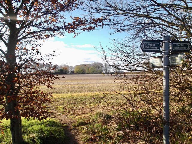
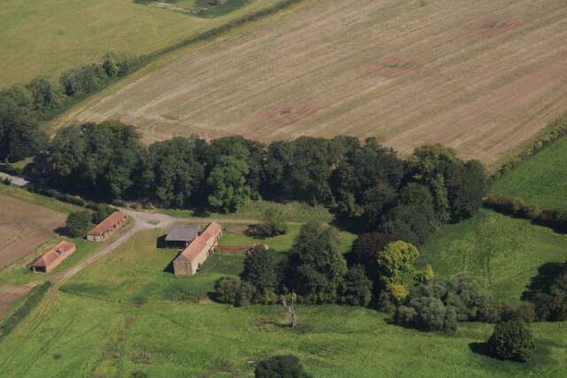
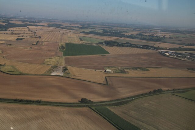
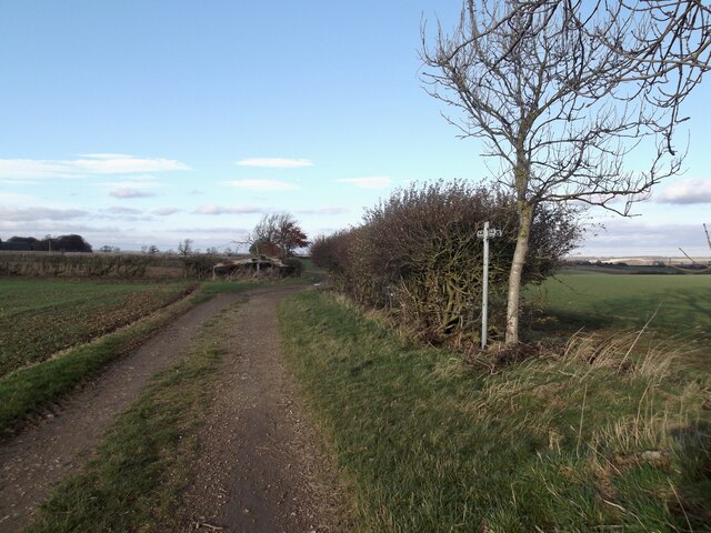
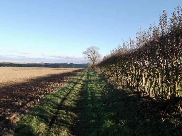
Black Holt is a small village located in the county of Lincolnshire, England. Situated in the heart of the county, it is surrounded by picturesque woodlands and forests, giving it a serene and natural appeal. The village is known for its abundant natural beauty, with tall trees and lush greenery dominating the landscape.

The woodlands of Black Holt offer a haven for wildlife enthusiasts and nature lovers alike. The area is home to a diverse range of flora and fauna, including various species of birds, mammals, and plants. It is a popular destination for birdwatching, with a wide array of avian species inhabiting the woods.

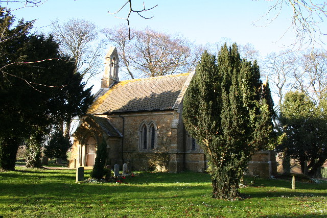
The village itself is small and quaint, with a tight-knit community that values its rural charm. The houses in Black Holt are traditional in style, reflecting the village's rich history and heritage. The local residents take pride in maintaining the village's rustic appeal and preserving its natural surroundings.

In terms of amenities, Black Holt offers limited facilities, with a small convenience store and a village hall serving as the center of community activities. However, the village benefits from its proximity to nearby towns and cities, providing residents with access to a wider range of services and amenities.

Overall, Black Holt is a hidden gem in Lincolnshire, offering tranquility, natural beauty, and a close-knit community. It is an ideal destination for those seeking to escape the hustle and bustle of city life and immerse themselves in the serenity of a rural retreat.

If you have any feedback on the listing, please let us know in the comments section below.

Black Holt Images

Images are sourced within 2km of 53.429314/-0.20737993 or Grid Reference TF1993. Thanks to Geograph Open Source API. All images are credited.

Footpath past Binbrook Top
Part of site of Orford Priory and DMV: aerial 2022 See: <span class="nowrap"><a title="https://www.heritagegateway.org.uk/Gateway/Results_Single.aspx?uid=MLI50709&resourceID=1006" rel="nofollow ugc noopener" href="https://www.heritagegateway.org.uk/Gateway/Results_Single.aspx?uid=MLI50709&resourceID=1006">Link</a><img style="margin-left:2px;" alt="External link" title="External link - shift click to open in new window" src="https://s1.geograph.org.uk/img/external.png" width="10" height="10"/></span> (Premonstratensian Nunnery) and 
<span class="nowrap"><a title="https://www.heritagegateway.org.uk/Gateway/Results_Single.aspx?uid=MLI50708&resourceID=1006" rel="nofollow ugc noopener" href="https://www.heritagegateway.org.uk/Gateway/Results_Single.aspx?uid=MLI50708&resourceID=1006">Link</a><img style="margin-left:2px;" alt="External link" title="External link - shift click to open in new window" src="https://s1.geograph.org.uk/img/external.png" width="10" height="10"/></span> (DMV).
Part of site of Orford Priory and DMV: aerial 2022
See: LinkExternal link (Premonstratensian Nunnery) and LinkExternal link (DMV).
Priory Farm and site of Orford Priory: aerial 2022 See: <a href="https://www.geograph.org.uk/photo/7281818">TF1994 : Part of site of Orford Priory and DMV: aerial 2022</a>.
Priory Farm and site of Orford Priory: aerial 2022
Across Orford to Binbrook disused aerodrome: aerial 2022 Aerodrome in <a href="https://www.geograph.org.uk/gridref/TF1996">TF1996</a>, is now restored to agricultural use.

Site of Orford Priory left, in <a href="https://www.geograph.org.uk/gridref/TF1994">TF1994</a>. See <span class="nowrap"><a title="https://www.british-history.ac.uk/vch/lincs/vol2/p209" rel="nofollow ugc noopener" href="https://www.british-history.ac.uk/vch/lincs/vol2/p209">Link</a><img style="margin-left:2px;" alt="External link" title="External link - shift click to open in new window" src="https://s1.geograph.org.uk/img/external.png" width="10" height="10"/></span>
Across Orford to Binbrook disused aerodrome: aerial 2022
Aerodrome in TF1996, is now restored to agricultural use. Site of Orford Priory left, in TF1994. See LinkExternal link
Soilmarks near the threshold of former RAF Binbrook runway: aerial 2023 (1)
Soilmarks near the threshold of former RAF Binbrook runway: aerial 2023 (2)
English Electric Lightning at former RAF Binbrook: aerial 2023 English Electric Lightning F.6 XR724, now at former RAF Binbrook, was the first to be retired of the five Lightnings allocated by the MoD to British Aerospace at Warton as chase aircraft in the Tornado Foxhunter radar development trials. Her Fatigue Index (FI) was coming perilously close to zero, and so she was flown to RAF Shawbury for storage while she still had some FI left on the airframe. Once below zero she would not have been able to fly again under any circumstances. 

See: <span class="nowrap"><a title="https://www.lightningassociation.co.uk/our-aircraft" rel="nofollow ugc noopener" href="https://www.lightningassociation.co.uk/our-aircraft">Link</a><img style="margin-left:2px;" alt="External link" title="External link - shift click to open in new window" src="https://s1.geograph.org.uk/img/external.png" width="10" height="10"/></span> and <a href="https://www.geograph.org.uk/photo/3496421">TF1995 : Lightning Association at former R.A.F. Binbrook</a>.
English Electric Lightning at former RAF Binbrook: aerial 2023
English Electric Lightning F.6 XR724, now at former RAF Binbrook, was the first to be retired of the five Lightnings allocated by the MoD to British Aerospace at Warton as chase aircraft in the Tornado Foxhunter radar development trials. Her Fatigue Index (FI) was coming perilously close to zero, and so she was flown to RAF Shawbury for storage while she still had some FI left on the airframe. Once below zero she would not have been able to fly again under any circumstances. See: LinkExternal link and TF1995 : Lightning Association at former R.A.F. Binbrook.
Orford Priory Farm and earthworks: aerial 2023 Farm built on part of the site of Irford or Orford Priory, a house of Premonstratensian nuns founded in the mid 12th century and dissolved 1539.

See <span class="nowrap"><a title="https://www.heritagegateway.org.uk/Gateway/Results_Single.aspx?uid=MLI50709&resourceID=1006" rel="nofollow ugc noopener" href="https://www.heritagegateway.org.uk/Gateway/Results_Single.aspx?uid=MLI50709&resourceID=1006">Link</a><img style="margin-left:2px;" alt="External link" title="External link - shift click to open in new window" src="https://s1.geograph.org.uk/img/external.png" width="10" height="10"/></span>
Orford Priory Farm and earthworks: aerial 2023
Farm built on part of the site of Irford or Orford Priory, a house of Premonstratensian nuns founded in the mid 12th century and dissolved 1539. See LinkExternal link
Farm at Stainton le Vale: aerial 2023 South Farm.
Farm at Stainton le Vale: aerial 2023
South Farm.
Site of runways, former RAF Binbrook: aerial 2023
Votive offerings at Lud's Well, Stainton-le-Vale
The decline of the "tin tabernacle" in Stainton le Vale, 2023 (1) A former Primitive Methodist chapel, it can be seen in slightly happier times (2009) in <a href="https://www.geograph.org.uk/photo/1497384">TF1794 : The 'tin tabernacle'</a>. In 2015 it looked like <a href="https://www.geograph.org.uk/photo/4437141">TF1794 : The old village hall in Stainton-le-Vale</a>, when it seemed to have enjoyed a brief revival as a village hall.

Sadly, very few such buildings remain.
The decline of the "tin tabernacle" in Stainton le Vale, 2023 (1)
A former Primitive Methodist chapel, it can be seen in slightly happier times (2009) in TF1794 : The 'tin tabernacle'. In 2015 it looked like TF1794 : The old village hall in Stainton-le-Vale, when it seemed to have enjoyed a brief revival as a village hall. Sadly, very few such buildings remain.
The decline of the "tin tabernacle" in Stainton le Vale, 2023 (2) A former Primitive Methodist chapel, it can be seen in slightly happier times (2009) in <a href="https://www.geograph.org.uk/photo/1497384">TF1794 : The 'tin tabernacle'</a>. In 2015 it looked like <a href="https://www.geograph.org.uk/photo/4437141">TF1794 : The old village hall in Stainton-le-Vale</a>, when it seemed to have enjoyed a brief revival as a village hall.

Sadly, very few such buildings remain.
The decline of the "tin tabernacle" in Stainton le Vale, 2023 (2)
A former Primitive Methodist chapel, it can be seen in slightly happier times (2009) in TF1794 : The 'tin tabernacle'. In 2015 it looked like TF1794 : The old village hall in Stainton-le-Vale, when it seemed to have enjoyed a brief revival as a village hall. Sadly, very few such buildings remain.
Footpath through Binbrook
Bridleway and path looking north
Path to Binbrook
Path to Binbrook
Field SE of Brookenby, and across former R.A.F. Binbrook: aerial 2022 (1) Disused airfield estate (now Brookenby) in <a href="https://www.geograph.org.uk/gridref/TF1995">TF1995</a>.
Field SE of Brookenby, and across former R.A.F. Binbrook: aerial 2022 (1)
Disused airfield estate (now Brookenby) in TF1995.
Show me another place!

Black Holt is located at Grid Ref: TF1993 (Lat: 53.429314, Lng: -0.20737993)

Administrative County: Lincolnshire

District: East Lindsey

Police Authority: Lincolnshire

What 3 Words

///dolphins.permanent.innovator. Near Wold Newton, Lincolnshire

Nearby Locations

Black Holt

Related Wikis

Orford Priory

Orford Priory was a priory of Premonstratensian canonesses in Stainton le Vale, Lincolnshire, England, and one of nine within the historical county. The...

Kirmond le Mire

Kirmond le Mire is a small village and civil parish in the West Lindsey district of Lincolnshire, England. It is situated on the B1203 road, 6 miles (10...

Brookenby Church

Brookenby Church is located in Brookenby, Lincolnshire, England. A member of the Church of England, it forms part of the Walesby group of churches, which...

Brookenby

Brookenby is a village and civil parish in the West Lindsey district of Lincolnshire, England. The village is situated 7 miles (11 km) north-east from...

Stainton le Vale

Stainton le Vale is a village in the civil parish of Thoresway in the West Lindsey district of Lincolnshire, England. It is situated about 6 miles (9...

Binbrook

Binbrook is a village and civil parish in the East Lindsey district of Lincolnshire, England. It is situated on the B1203 road, and 8 miles (13 km) north...

RAF Binbrook

Royal Air Force Binbrook or RAF Binbrook is a former Royal Air Force station located near Binbrook, Lincolnshire, England. The old domestic site (married...

Parts of Lindsey

The Parts of Lindsey are a traditional division of Lincolnshire, England, covering the northern part of the county. The Isle of Axholme, which is on the...

Nearby Amenities

Located within 500m of 53.429314,-0.20737993
Power: pole
Lat/Long: 53.4296764/-0.2143619
Power: pole
Lat/Long: 53.4297658/-0.2133633
Power: pole
Lat/Long: 53.4298624/-0.2123505
Power: pole
Lat/Long: 53.4299504/-0.2113567
Power: pole
Lat/Long: 53.4300413/-0.2103581
Power: pole
Lat/Long: 53.4301336/-0.2093572
Power: pole
Lat/Long: 53.4302287/-0.2083277
Power: pole
Lat/Long: 53.4303182/-0.2073482
Power: pole
Lat/Long: 53.430409/-0.2063377
Power: pole
Lat/Long: 53.4304874/-0.2053362
Power: pole
Lat/Long: 53.4306018/-0.2042051
Power: pole
Lat/Long: 53.4306997/-0.2031041
Power: pole
Lat/Long: 53.4307824/-0.2020116
Power: pole
Lat/Long: 53.4308818/-0.2009392
Orford Priory
End Date: 1539
Historic: monastery
Start Date: C12
Wikidata: Q7101726
Lat/Long: 53.4320752/-0.2030018
The data included in this document is from www.openstreetmap.org. The data is made available under ODbL.

Have you been to Black Holt?

Leave your review of Black Holt below (or comments, questions and feedback).