Coombes Copse
Wood, Forest in Sussex Adur
England
Coombes Copse
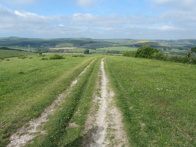
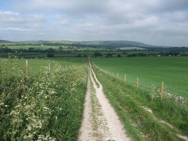
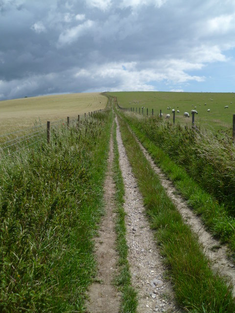
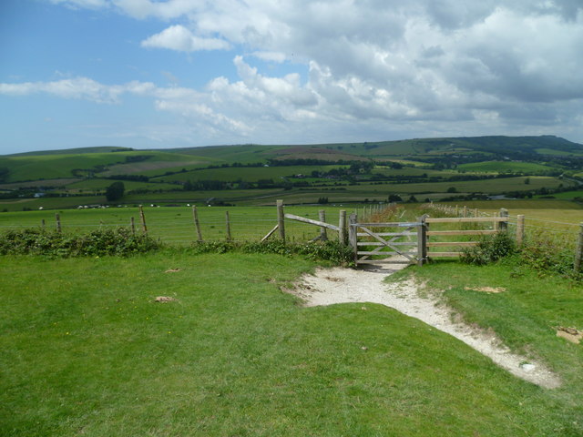
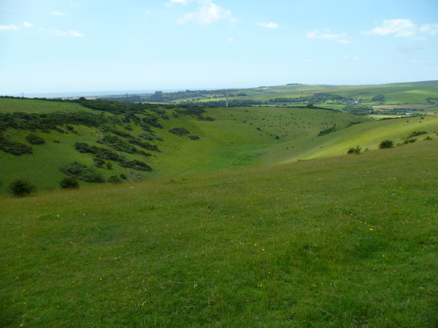
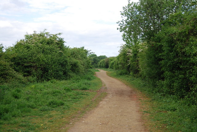
Coombes Copse is a picturesque woodland located in Sussex, England. Spanning over several hectares, this enchanting forest is situated in the heart of the South Downs National Park, making it a popular destination for nature enthusiasts and hikers alike.
The copse is predominantly composed of ancient beech trees, which provide a stunning canopy of vibrant green leaves during the summer months. The forest floor is adorned with a myriad of wildflowers, ferns, and mosses, creating a serene and enchanting atmosphere. The diverse ecosystem supports a wide range of wildlife, including deer, badgers, and a variety of bird species.
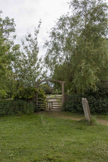
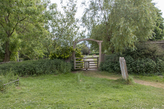
Traversing through Coombes Copse, visitors can enjoy a network of well-maintained trails that wind through the forest, offering breathtaking views and opportunities for exploration. These paths cater to different skill levels, ranging from leisurely strolls to more challenging hikes for the adventurous.
Coombes Copse is not only a haven for flora and fauna but also a place of historical significance. The woodland has been carefully managed for centuries, with evidence of charcoal production and timber extraction dating back to medieval times. Today, the copse is protected and managed by the local authorities, ensuring the preservation of its natural beauty and historical heritage.
Overall, Coombes Copse in Sussex is a captivating woodland that offers visitors a tranquil escape into nature. With its ancient trees, diverse wildlife, and rich history, it is a place of wonder and discovery for all who have the pleasure of exploring its enchanting trails.
If you have any feedback on the listing, please let us know in the comments section below.
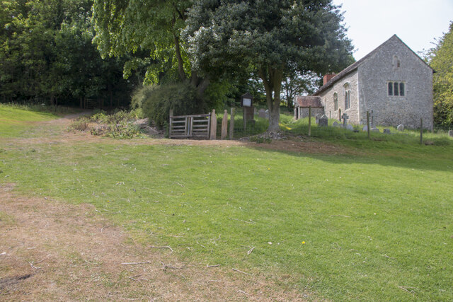
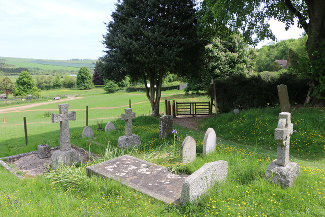
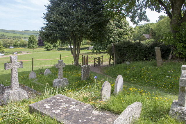
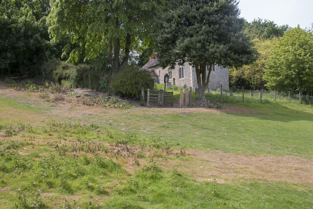
Coombes Copse Images
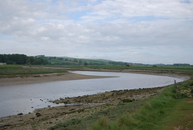
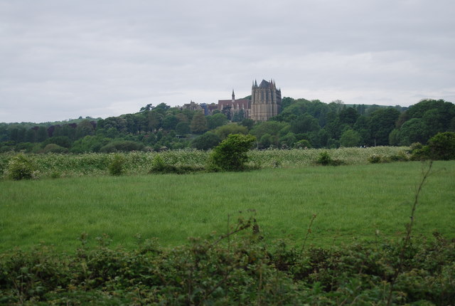
Images are sourced within 2km of 50.859678/-0.3085126 or Grid Reference TQ1908. Thanks to Geograph Open Source API. All images are credited.

Coombes Copse is located at Grid Ref: TQ1908 (Lat: 50.859678, Lng: -0.3085126)
Administrative County: West Sussex
District: Adur
Police Authority: Sussex
What 3 Words
///workloads.pounds.chambers. Near Steyning, West Sussex
Nearby Locations
Related Wikis
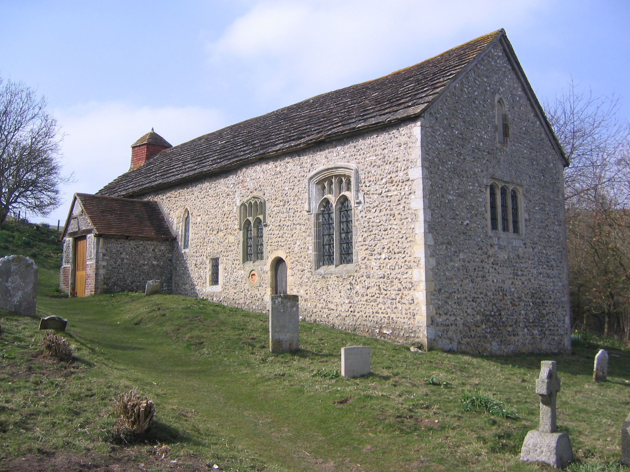
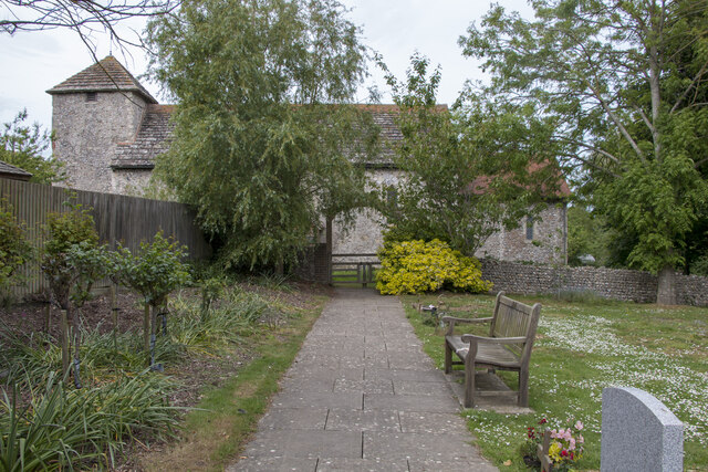
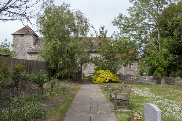
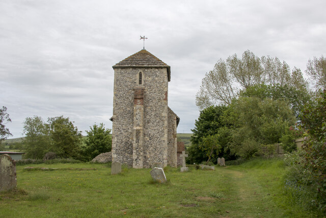
Coombes Church
Coombes Church is a Church of England parish church in the rural hamlet of Coombes in the Adur District of West Sussex, England. It has served the rural...
Coombes
Coombes is a small village and civil parish in the Adur District of West Sussex, England. The village is in the Adur Valley 2 miles (3.2 km) northwest...
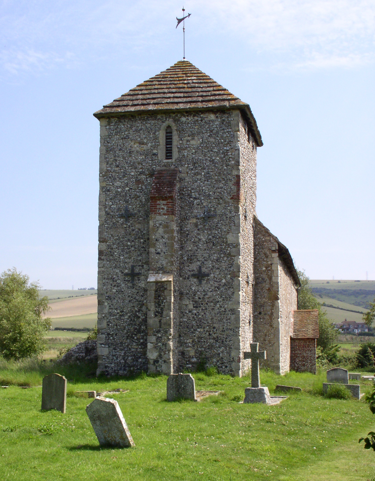
St Botolph's Church, Botolphs
The Grade I listed Saxon church of St Botolph's at Botolphs, West Sussex, England, is situated in the valley of the River Adur and is now part of the Church...

Botolphs
Botolphs, formerly known as Annington, is a tiny village and former civil parish, now in the parish of Bramber, in the Horsham District of West Sussex...

Lancing College Chapel
Lancing College Chapel is the chapel to Lancing College in West Sussex, England, and is an example of Gothic Revival architecture. The chapel was designed...

Erringham chapel
Erringham chapel is a former place of worship in the deserted medieval village of Old Erringham, north of Shoreham-by-Sea in the district of Adur, one...

Sompting & North Lancing (electoral division)
Sompting & North Lancing is an electoral division of West Sussex in the United Kingdom, and returns one member to sit on the West Sussex County Council...

Mill Hill, Shoreham
Mill Hill is a 13.5-hectare (33-acre) Local Nature Reserve on the northern outskirts of Shoreham-by-Sea in West Sussex. It is owned by Adur District Council...
Nearby Amenities
Located within 500m of 50.859678,-0.3085126Have you been to Coombes Copse?
Leave your review of Coombes Copse below (or comments, questions and feedback).