Home Wood
Wood, Forest in Sussex Horsham
England
Home Wood

Home Wood, Sussex, also known as Wood or Forest, is a picturesque woodland located in the county of Sussex, England. Covering an area of approximately 500 acres, this woodland is a haven for nature enthusiasts and outdoor adventurers alike.
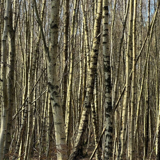
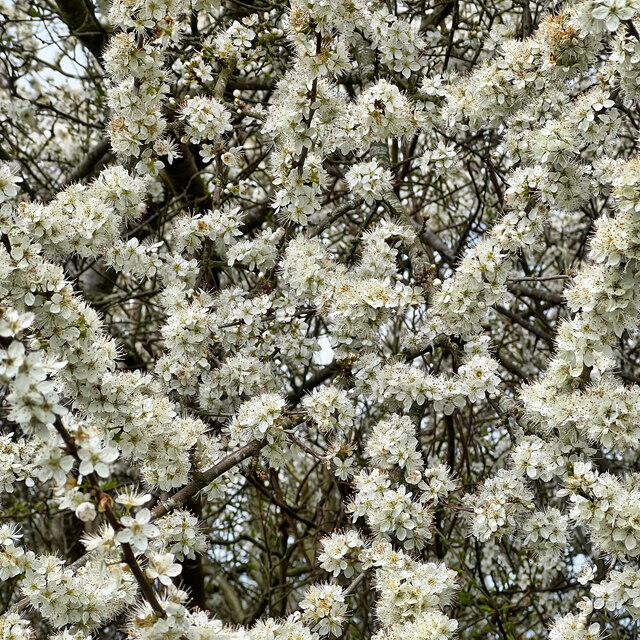
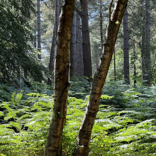
Home Wood is characterized by its dense vegetation, consisting primarily of tall oak, beech, and birch trees. The forest floor is covered with lush ferns, wildflowers, and moss, creating a vibrant and enchanting atmosphere. The wood is also home to a diverse range of wildlife, including deer, squirrels, and numerous bird species, making it a popular spot for birdwatchers and animal lovers.
The wood offers a variety of walking trails and paths, allowing visitors to explore its natural beauty at their own pace. These trails are well-maintained and provide breathtaking views of the surrounding countryside. Additionally, there are designated picnic areas where visitors can relax and enjoy a meal amidst the tranquil surroundings.
For those seeking a more adventurous experience, Home Wood offers opportunities for camping and hiking. The designated camping areas are equipped with basic facilities, providing a chance to spend a night under the stars surrounded by nature. Hiking enthusiasts can embark on longer trails that lead to nearby attractions such as rivers, lakes, and ancient ruins.
Home Wood, Sussex is a cherished natural gem, attracting locals and tourists alike. Its serene and captivating ambiance, coupled with its diverse flora and fauna, make it a must-visit destination for anyone seeking solace in the beauty of nature.
If you have any feedback on the listing, please let us know in the comments section below.
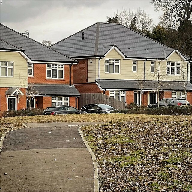
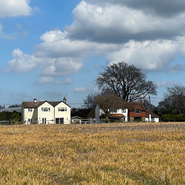
Home Wood Images
Images are sourced within 2km of 51.030412/-0.30786676 or Grid Reference TQ1827. Thanks to Geograph Open Source API. All images are credited.


Home Wood is located at Grid Ref: TQ1827 (Lat: 51.030412, Lng: -0.30786676)
Administrative County: West Sussex
District: Horsham
Police Authority: Sussex
What 3 Words
///reconnect.puts.dodging. Near Southwater, West Sussex
Nearby Locations
Related Wikis

Southwater & Nuthurst (electoral division)
Southwater & Nuthurst is an electoral division of West Sussex in the United Kingdom and returns one member to sit on West Sussex County Council. The current...

Nuthurst
Nuthurst is a village and civil parish in the Horsham district of West Sussex, England. The north of the parish borders Horsham town, with Nuthurst village...

Monk's Gate
Monk's Gate is a hamlet in the civil parish of Nuthurst, in the Horsham District of West Sussex, England. It lies on the A281 road 3 miles (5 km) southeast...

Mannings Heath
Mannings Heath is a village in the civil parish of Nuthurst and the Horsham District of West Sussex, England. The village is on the A281 road, 2 miles...

Maplehurst, West Sussex
Maplehurst is a hamlet in the civil parish of Nuthurst, and the Horsham District of West Sussex, England. The hamlet is on the Copsale to Nuthurst road...

Copsale
Copsale is a hamlet in the civil parish of Nuthurst, and the Horsham District of West Sussex, England. It lies on the Southwater to Maplehurst road 3.5...
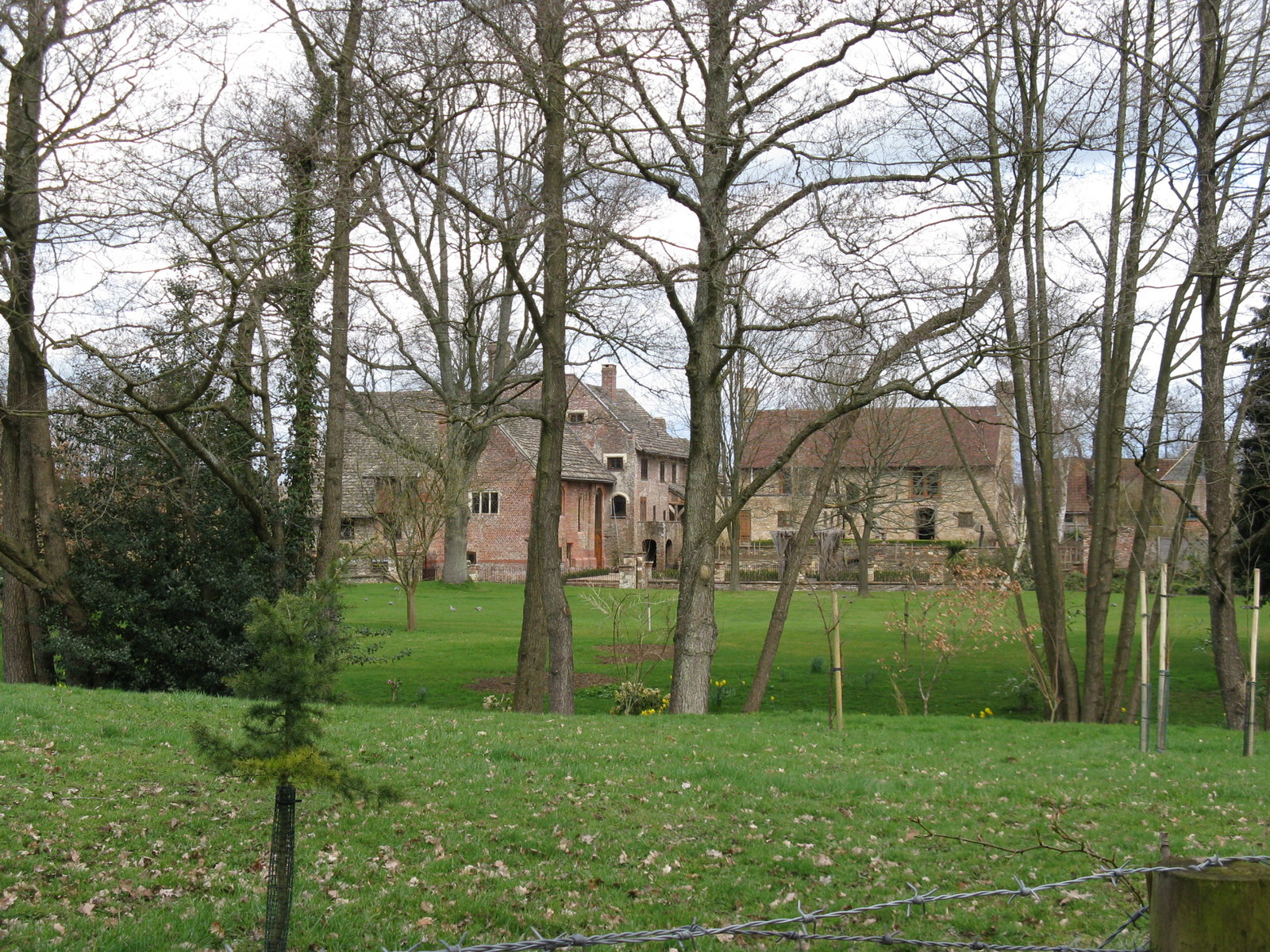
Chesworth House
Chesworth House is a former Tudor manor house, located a mile south of Horsham, West Sussex, England. The original Manor house became a farmhouse and has...

Copthorne F.C.
Copthorne Football Club is a football club based in Copthorne in West Sussex, England. They are currently members of the Southern Combination Division...
Nearby Amenities
Located within 500m of 51.030412,-0.30786676Have you been to Home Wood?
Leave your review of Home Wood below (or comments, questions and feedback).