Bramblehall Wood
Wood, Forest in Surrey Mole Valley
England
Bramblehall Wood
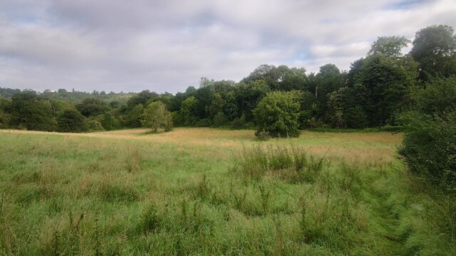
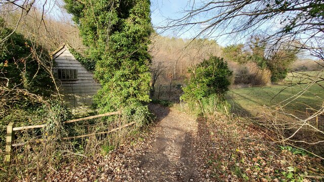
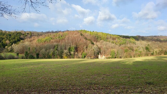
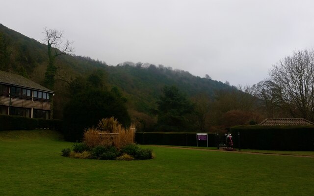
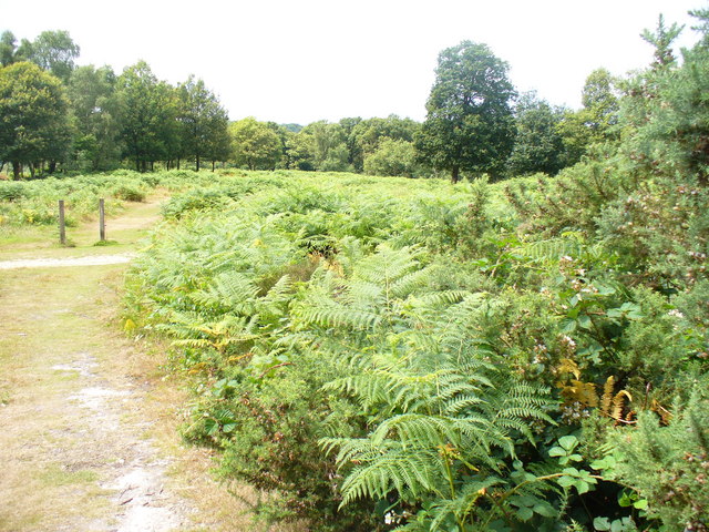
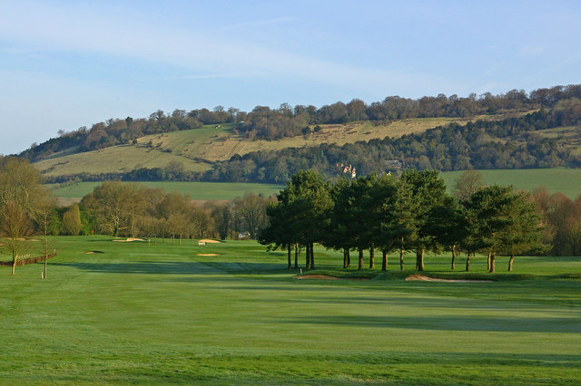
Bramblehall Wood, located in Surrey, is a picturesque woodland area that covers approximately 100 hectares. This enchanting forest is nestled in the southeastern part of England, near the village of Bramblehall. The woodland is made up of a diverse range of tree species, including oak, beech, birch, and pine, creating a rich tapestry of colors throughout the year.
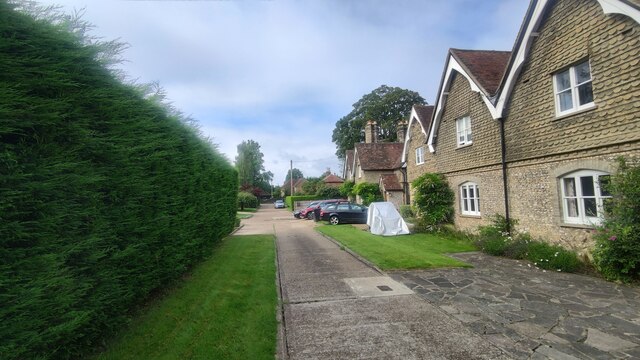
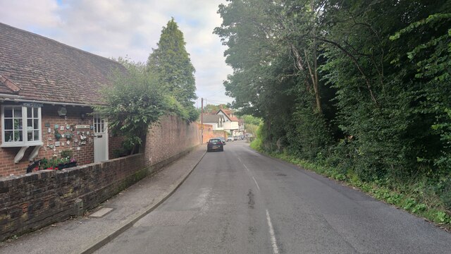
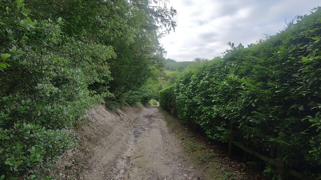
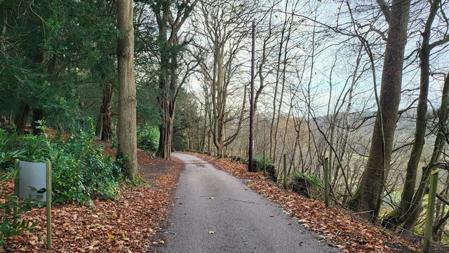
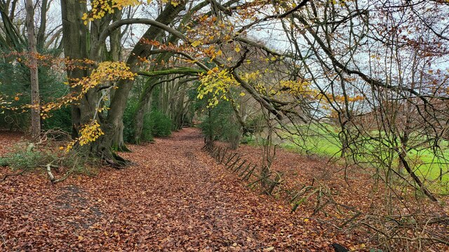
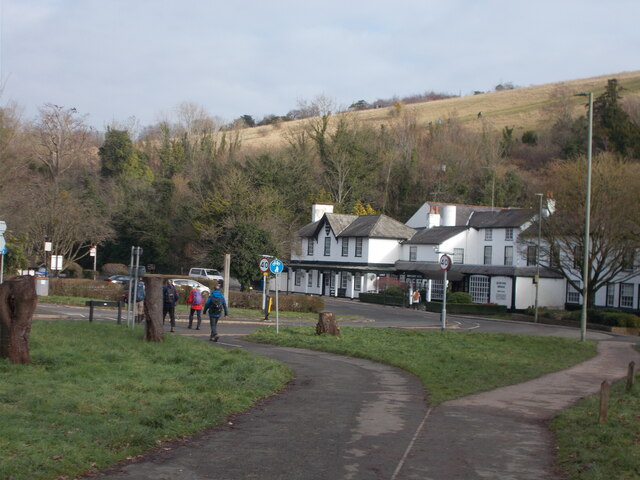
One of the notable features of Bramblehall Wood is its well-maintained network of walking trails, which allows visitors to explore the natural beauty of the area. These trails meander through the forest, offering visitors the chance to immerse themselves in the tranquil surroundings and observe the various flora and fauna. The woods are home to a wide range of wildlife, including deer, foxes, rabbits, and a variety of bird species.
The woodland is also a popular spot for nature enthusiasts and photographers, who are drawn to its idyllic scenery and abundant wildlife. Its peaceful atmosphere makes it an ideal place for nature walks, picnics, and family outings.
Bramblehall Wood is managed and maintained by the local authorities, ensuring its preservation and protection for future generations. The woodland serves as an important green space, providing a habitat for wildlife, promoting biodiversity, and contributing to the overall health and well-being of the local community.
Overall, Bramblehall Wood is a captivating woodland area that offers a serene and scenic escape from the hustle and bustle of everyday life, making it a cherished natural gem in the heart of Surrey.
If you have any feedback on the listing, please let us know in the comments section below.
Bramblehall Wood Images
Images are sourced within 2km of 51.260067/-0.29950518 or Grid Reference TQ1852. Thanks to Geograph Open Source API. All images are credited.


Bramblehall Wood is located at Grid Ref: TQ1852 (Lat: 51.260067, Lng: -0.29950518)
Administrative County: Surrey
District: Mole Valley
Police Authority: Surrey
What 3 Words
///crop.shack.vent. Near Dorking, Surrey
Nearby Locations
Related Wikis
Mole Gap to Reigate Escarpment
Mole Gap to Reigate Escarpment is a 1,016.4-hectare (2,512-acre) biological and geological Site of Special Scientific Interest west of Reigate in Surrey...

High Ashurst
High Ashurst is a large natural site of 56 acres of land in an Area of Outstanding Natural Beauty in North Downs, Surrey. The site has been host to many...
Box Hill, Surrey
Box Hill is a summit of the North Downs in Surrey, approximately 31 km (19 mi) south-west of London. The hill gets its name from the ancient box woodland...

Juniper Hall
Juniper Hall FSC Field Centre is an 18th-century country house, leased from the National Trust, on the east slopes of Mickleham in the deep Mole Gap of...

Burford Bridge Hotel
Burford Bridge Hotel is a historic hotel at the edge of the village of Mickleham, Surrey, England. It is to the south of Leatherhead and north of Dorking...
Mickleham, Surrey
Mickleham is a village in south east England, between the towns of Dorking and Leatherhead in Surrey. The civil parish covers 7.31 square kilometres (1...
St. Michael's Churchyard, Mickleham
St. Michael's Churchyard is the church and graveyard located in Mickleham, Surrey, England, belonging to the Church of England parish of Mickleham. �...

Box Hill School
Box Hill School is an independent coeducational boarding and day school situated in the village of Mickleham near Dorking, Surrey, England. The school...
Nearby Amenities
Located within 500m of 51.260067,-0.29950518Have you been to Bramblehall Wood?
Leave your review of Bramblehall Wood below (or comments, questions and feedback).