Cock Shaw

Wood, Forest in Sussex Horsham

England

Cock Shaw

Looking south on Burnthouse Lane to the A272 The post box has been changed since <a title="https://www.geograph.org.uk/photo/2936974" href="https://www.geograph.org.uk/photo/2936974">Link</a>.
Looking south on Burnthouse Lane to the A272 Credit: Shazz

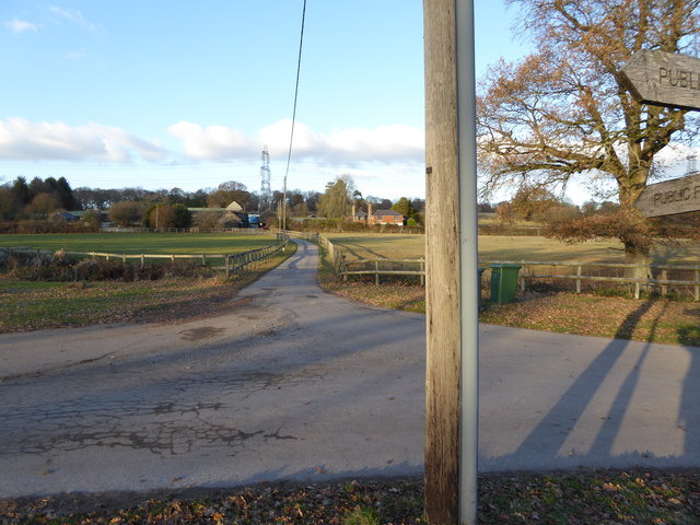
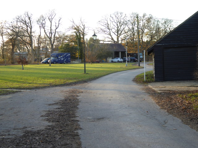
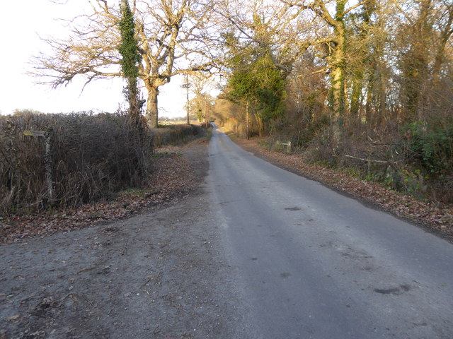
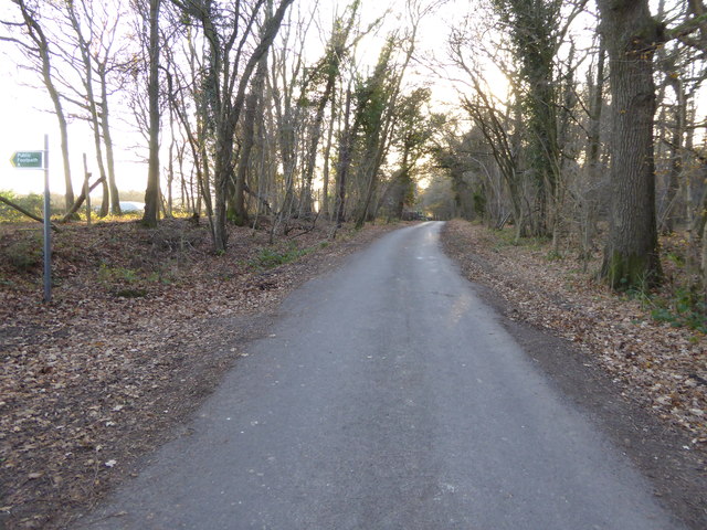
Cock Shaw, also known as Cock Shaw Wood or Cock Shaw Forest, is a small woodland area located in Sussex, England. Situated near the village of Cocking, it covers an approximate area of 200 acres. The woodland is characterized by its dense and diverse vegetation, consisting mainly of a mix of broadleaf trees such as oak, birch, and beech.

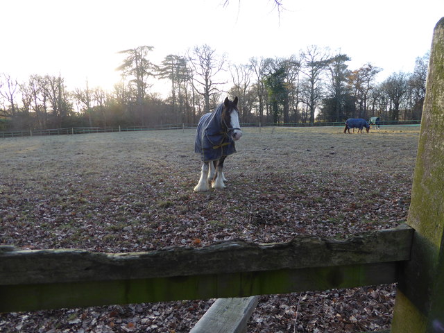
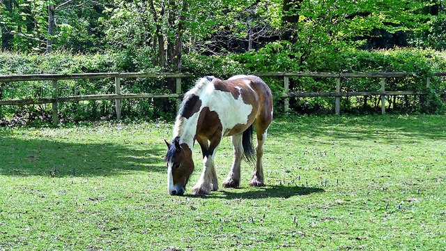
Cock Shaw is a haven for wildlife, providing a natural habitat for a variety of species. The forest is home to numerous bird species, including woodpeckers, thrushes, and owls, which can often be heard and spotted among the trees. Additionally, the woodland offers shelter and sustenance to various mammals, including deer, foxes, and badgers.

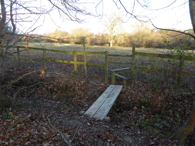
The woodland is open to the public and attracts visitors who enjoy hiking, birdwatching, and exploring nature. There are several well-maintained paths and trails that wind through the forest, providing opportunities for leisurely walks and peaceful picnics. The natural beauty of Cock Shaw, combined with its tranquil atmosphere, makes it a popular destination for nature enthusiasts and those seeking a break from the bustling city life.

Cock Shaw is also a site of historical and archaeological importance. The woodland contains remnants of ancient settlements, including burial mounds and earthworks, dating back thousands of years. These archaeological features provide insight into the area's rich and fascinating past.

In summary, Cock Shaw in Sussex is a picturesque woodland that offers a haven for wildlife, recreational activities, and a glimpse into the region's history.

If you have any feedback on the listing, please let us know in the comments section below.
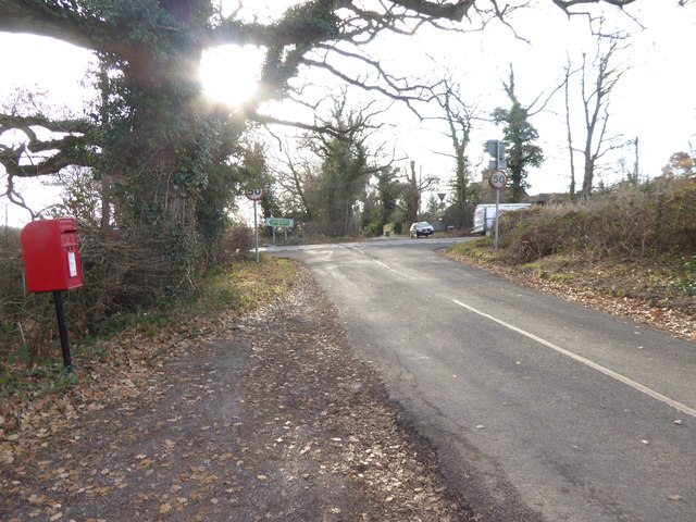
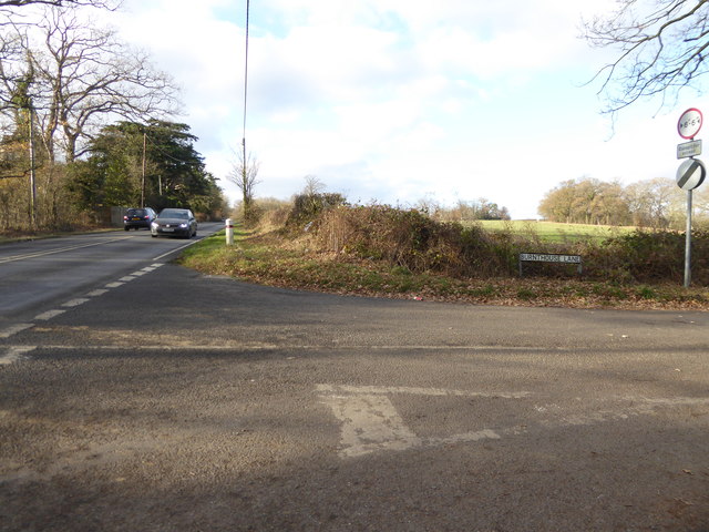
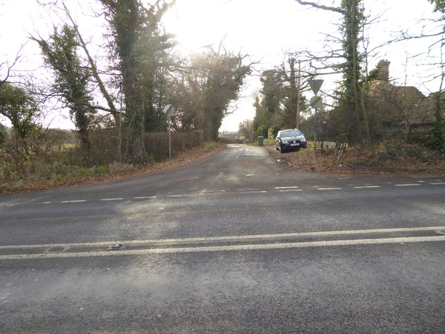
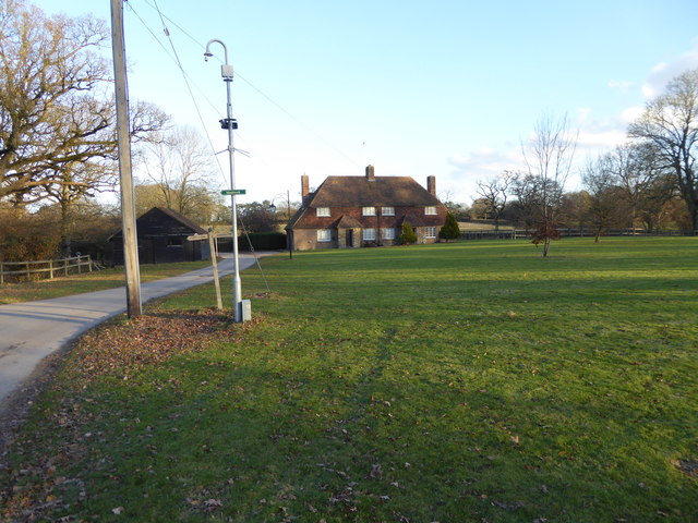
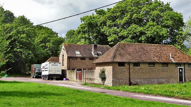
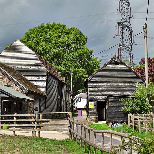
Cock Shaw Images

Images are sourced within 2km of 50.992278/-0.30946775 or Grid Reference TQ1822. Thanks to Geograph Open Source API. All images are credited.

Looking south on Burnthouse Lane to the A272 The post box has been changed since <a title="https://www.geograph.org.uk/photo/2936974" href="https://www.geograph.org.uk/photo/2936974">Link</a>.
Looking south on Burnthouse Lane to the A272
The post box has been changed since Link.
The southern end of Burnthouse Lane The main road is the A272 known here as Station Road.  (There's no station any more.)
The southern end of Burnthouse Lane
The main road is the A272 known here as Station Road. (There's no station any more.)
Looking into Stonehouse Lane
High Hurst Cottages
High Hurst Cottages
The drive to High Hurst Manor This is a public footpath.
The drive to High Hurst Manor
This is a public footpath.
The green at High Hurst
Footpath crosses ditch to stile
Splendid feathers
Splendid feathers
Looking north on Burnthouse Lane from footpath
Looking south on Burnthouse Lane
A272 at Capons Farm The A272 is a very rural A road, which follows an east to west route from near Heathfield to Winchester, passing through the Sussex countryside. It runs 86 miles from Sutton Scotney to Five Ashes <a href="https://www.geograph.org.uk/photo/6669405">TQ5523 : A267, A272 junction</a>.
<span class="nowrap"><a title="http://www.sabre-roads.org.uk/wiki/index.php?title=A272" rel="nofollow ugc noopener" href="http://www.sabre-roads.org.uk/wiki/index.php?title=A272">Link</a><img style="margin-left:2px;" alt="External link" title="External link - shift click to open in new window" src="https://s1.geograph.org.uk/img/external.png" width="10" height="10"/></span> 
Wikipedia: <span class="nowrap"><a title="http://en.wikipedia.org/wiki/A272_road" rel="nofollow ugc noopener" href="http://en.wikipedia.org/wiki/A272_road">Link</a><img style="margin-left:2px;" alt="External link" title="External link - shift click to open in new window" src="https://s1.geograph.org.uk/img/external.png" width="10" height="10"/></span>
A272 at Capons Farm
The A272 is a very rural A road, which follows an east to west route from near Heathfield to Winchester, passing through the Sussex countryside. It runs 86 miles from Sutton Scotney to Five Ashes TQ5523 : A267, A272 junction. LinkExternal link Wikipedia: LinkExternal link
A272 heading east Entering Cowfold.
A272 heading east
Entering Cowfold.
Horse to the west of Burnthouse Lane
High Hurst Cottages By my reckoning the half of this building nearest the camera is in TQ2023, and the other half is in TQ2024.
High Hurst Cottages
By my reckoning the half of this building nearest the camera is in TQ2023, and the other half is in TQ2024.
Stables south of High Hurst Manor This is a cross-grid shot. The camera was in TQ2023.
Stables south of High Hurst Manor
This is a cross-grid shot. The camera was in TQ2023.
Stables at High Hurst Manor
Fox and horse's legs This is a very long telephoto shot, so the fox may not actually have been as close to the horse as it appears to be.
Fox and horse's legs
This is a very long telephoto shot, so the fox may not actually have been as close to the horse as it appears to be.
Apple Trees Apple trees at Trenchmore Farm used for making cider.
Apple Trees
Apple trees at Trenchmore Farm used for making cider.
Show me another place!

Cock Shaw is located at Grid Ref: TQ1822 (Lat: 50.992278, Lng: -0.30946775)

Administrative County: West Sussex

District: Horsham

Police Authority: Sussex

What 3 Words

///absorbs.estimated.girder. Near Cowfold, West Sussex

Related Wikis

West Grinstead railway station

West Grinstead was a railway station on the Steyning Line which served the village of West Grinstead. It had a goods yard with a cattle loading bay and...

Maplehurst, West Sussex

Maplehurst is a hamlet in the civil parish of Nuthurst, and the Horsham District of West Sussex, England. The hamlet is on the Copsale to Nuthurst road...

Shrine of Our Lady of Consolation

The Shrine of Our Lady of Consolation or Church of Our Lady of Consolation and Saint Francis is a Roman Catholic parish church in West Grinstead, in West...

Littleworth, West Sussex

Littleworth is a hamlet in the Horsham District of West Sussex, England. It lies on the Partridge Green to Maplehurst road 2.9 miles (4.7 km) north of...

Cowfold

Cowfold is a village and civil parish between Billingshurst and Haywards Heath in the Horsham District of West Sussex, England. The village is at the intersection...

West Grinstead

West Grinstead is a village and civil parish in the Horsham District of West Sussex, England. It lies just off the B2135 road four miles (6.3 km) northwest...

Copsale

Copsale is a hamlet in the civil parish of Nuthurst, and the Horsham District of West Sussex, England. It lies on the Southwater to Maplehurst road 3.5...

St George's Church, West Grinstead

St George's Church is an Anglican church in West Grinstead, West Sussex, England. It is in the Diocese of Chichester, occupying a rural position in the...

Nearby Amenities

Located within 500m of 50.992278,-0.30946775
Champions Gate
Naptan AtcoCode: 4400HR0475
Naptan Bearing: E
Naptan BusStopType: CUS
Naptan CommonName: Champions Gate
Naptan Indicator: Belmoredean
Naptan Landmark: Littleworth Lane
Naptan NaptanCode: wsxawmdj
Naptan Street: Station Road
Naptan Verified: no
Source: naptan_import
Lat/Long: 50.9917977/-0.3041735
Champions Gate
Naptan AtcoCode: 4400HR0476
Naptan Bearing: W
Naptan BusStopType: CUS
Naptan CommonName: Champions Gate
Naptan Indicator: Belmoredean
Naptan Landmark: Littleworth Lane
Naptan NaptanCode: wsxawmdm
Naptan Street: Station Road
Naptan Verified: no
Source: naptan_import
Lat/Long: 50.9917666/-0.3038897
Cowfold Road
Naptan AtcoCode: 4400HR0821
Naptan Bearing: NE
Naptan BusStopType: CUS
Naptan CommonName: Cowfold Road
Naptan Indicator: HAR
Naptan Landmark: Hail & Ride
Naptan NaptanCode: wsxdwmgd
Naptan Street: Cowfold Road
Naptan Verified: no
Source: naptan_import
Lat/Long: 50.9904656/-0.30844
Cowfold Road
Naptan AtcoCode: 4400HR0822
Naptan Bearing: SW
Naptan BusStopType: CUS
Naptan CommonName: Cowfold Road
Naptan Indicator: HAR
Naptan Landmark: Hail & Ride
Naptan NaptanCode: wsxdwmgj
Naptan Street: Cowfold Road
Naptan Verified: no
Source: naptan_import
Lat/Long: 50.9904021/-0.3083995
Power: pole
Lat/Long: 50.9945625/-0.3155807
Material: wood
Power: pole
Lat/Long: 50.9932356/-0.3149048
Material: wood
Power: pole
Lat/Long: 50.9923324/-0.3145587
Power: pole
Lat/Long: 50.9922772/-0.313232
Power: pole
Lat/Long: 50.9937049/-0.3154144
Material: wood
Power: pole
Lat/Long: 50.9922615/-0.3147358
Power: pole
Lat/Long: 50.9922007/-0.3135341
Power: pole
Lat/Long: 50.9899536/-0.3073221
Power: pole
Lat/Long: 50.9902254/-0.3077701
Material: wood
Power: pole
Lat/Long: 50.9905934/-0.3082797
Power: pole
Lat/Long: 50.9922108/-0.311906
Power: pole
Lat/Long: 50.9921129/-0.3105703
Power: pole
Lat/Long: 50.9912215/-0.3099883
Power: pole
Lat/Long: 50.9921078/-0.3118873
Power: pole
Lat/Long: 50.9920454/-0.3106213
Power: pole
Lat/Long: 50.9911489/-0.3101197
Power: pole
Lat/Long: 50.9907471/-0.3091756
Power: pole
Lat/Long: 50.9908382/-0.3091005
Material: wood
Power: pole
Lat/Long: 50.9903925/-0.3081322
Power: pole
Lat/Long: 50.9893812/-0.3071988
Power: pole
Lat/Long: 50.9886822/-0.3065336
Material: wood
Power: pole
Lat/Long: 50.9903317/-0.3082529
Power: pole
Lat/Long: 50.989339/-0.3073356
Power: pole
Lat/Long: 50.9886248/-0.3066382
Barrier: stile
Lat/Long: 50.9936254/-0.3113194
Barrier: stile
Lat/Long: 50.9948904/-0.3049168
Leisure: picnic_table
Lat/Long: 50.9906857/-0.3143515
Leisure: picnic_table
Lat/Long: 50.9905979/-0.3143735
Power: pole
Lat/Long: 50.9933312/-0.3119448
Power: pole
Lat/Long: 50.993045/-0.3129056
Power: pole
Lat/Long: 50.9928793/-0.3135222
Power: pole
Lat/Long: 50.9935218/-0.3112412
Power: pole
Lat/Long: 50.9937207/-0.3104499
Power: pole
Lat/Long: 50.9931273/-0.3099359
Power: pole
Lat/Long: 50.9920518/-0.3090238
Power: pole
Lat/Long: 50.9909671/-0.3082648
Power: pole
Lat/Long: 50.9925625/-0.309457
Leisure: picnic_table
Lat/Long: 50.9948363/-0.3138805
Post Box
Collection Times: Mo-Fr 17:00; Sa 11:30
Operator: Royal Mail
Post Box Mounting: pier
Ref: RH13 84
Royal Cypher: EIIR
Royal Cypher Wikidata: Q33102113
Lat/Long: 50.9919183/-0.3039278
Post Box
Collection Times: Mo-Fr 09:00; Sa 07:00
Operator: Royal Mail
Post Box Mounting: render_wall
Post Box Type: wall
Ref: RH13 119D
Royal Cypher: GVIR
Royal Cypher Wikidata: Q33102169
Lat/Long: 50.9893291/-0.3136173
Smallham Farm
Place: isolated_dwelling
Lat/Long: 50.9940167/-0.3135036
Belmordean
Place: isolated_dwelling
Lat/Long: 50.9938474/-0.30413
Bowshotts Farm
Place: farm
Lat/Long: 50.9904386/-0.3105782
Champion's Gate
Place: locality
Lat/Long: 50.991719/-0.3040772
The data included in this document is from www.openstreetmap.org. The data is made available under ODbL.

Have you been to Cock Shaw?

Leave your review of Cock Shaw below (or comments, questions and feedback).