Furzefield Wood

Wood, Forest in Sussex Horsham

England

Furzefield Wood

Looking south on Burnthouse Lane to the A272 The post box has been changed since <a title="https://www.geograph.org.uk/photo/2936974" href="https://www.geograph.org.uk/photo/2936974">Link</a>.
Looking south on Burnthouse Lane to the A272 Credit: Shazz

Furzefield Wood is a picturesque woodland located in the county of Sussex, England. Covering an area of approximately 100 acres, this enchanting forest is renowned for its natural beauty and diverse range of flora and fauna.

The wood is predominantly composed of deciduous trees, such as oak, beech, and birch, which create a stunning canopy overhead. These majestic trees provide ample shade during the summer months and transform the forest into a vibrant display of colors during the autumn season.

Furzefield Wood is home to a plethora of wildlife, making it a popular destination for nature enthusiasts and bird watchers. The forest provides a habitat for various species, including deer, foxes, badgers, and a wide variety of bird species. Birdwatchers can expect to spot woodpeckers, owls, and even rare migratory birds.

The wood is crisscrossed by a network of well-maintained footpaths, allowing visitors to explore its hidden corners and discover its natural treasures. These paths wind through the ancient woodland, meandering past babbling brooks, wildflower meadows, and small ponds. The peaceful atmosphere and tranquil surroundings make Furzefield Wood an ideal location for relaxation, picnics, and leisurely walks.

As a designated nature reserve, Furzefield Wood is carefully managed to preserve its ecological balance and protect its biodiversity. The woodland is also of historical importance, with evidence of human activity dating back centuries. It serves as a reminder of the rich natural and cultural heritage of the region.

Overall, Furzefield Wood offers a haven of tranquility and natural beauty, providing visitors with a unique opportunity to connect with nature and escape the hustle and bustle of everyday life.

If you have any feedback on the listing, please let us know in the comments section below.

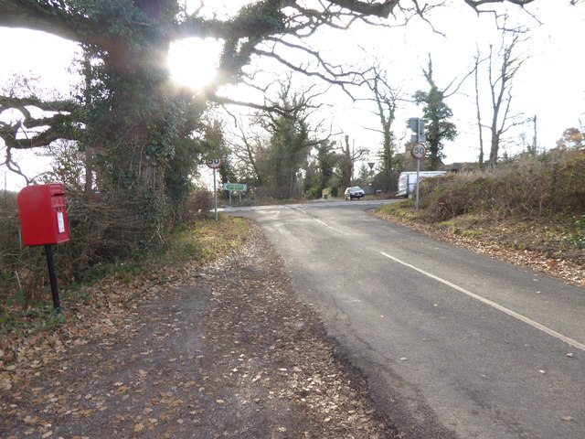
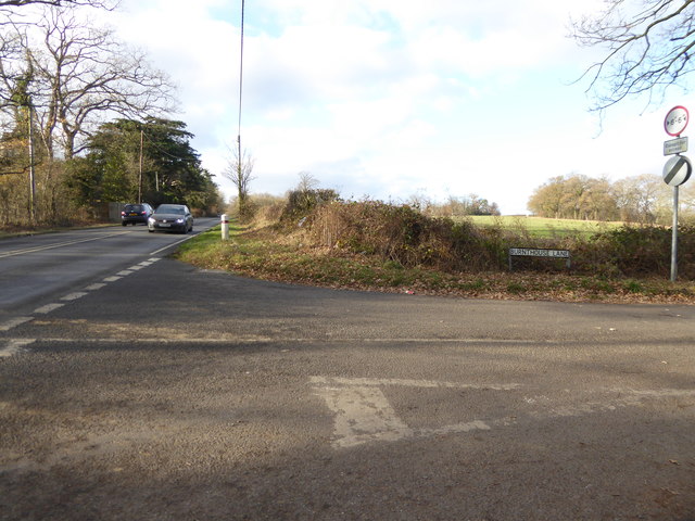
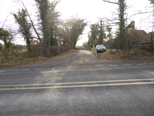
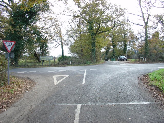
Furzefield Wood Images

Images are sourced within 2km of 50.986658/-0.31138166 or Grid Reference TQ1822. Thanks to Geograph Open Source API. All images are credited.

Looking south on Burnthouse Lane to the A272 The post box has been changed since <a title="https://www.geograph.org.uk/photo/2936974" href="https://www.geograph.org.uk/photo/2936974">Link</a>.
Looking south on Burnthouse Lane to the A272
The post box has been changed since Link.
The southern end of Burnthouse Lane The main road is the A272 known here as Station Road.  (There's no station any more.)
The southern end of Burnthouse Lane
The main road is the A272 known here as Station Road. (There's no station any more.)
Looking into Stonehouse Lane
A272 at Capons Farm The A272 is a very rural A road, which follows an east to west route from near Heathfield to Winchester, passing through the Sussex countryside. It runs 86 miles from Sutton Scotney to Five Ashes <a href="https://www.geograph.org.uk/photo/6669405">TQ5523 : A267, A272 junction</a>.
<span class="nowrap"><a title="http://www.sabre-roads.org.uk/wiki/index.php?title=A272" rel="nofollow ugc noopener" href="http://www.sabre-roads.org.uk/wiki/index.php?title=A272">Link</a><img style="margin-left:2px;" alt="External link" title="External link - shift click to open in new window" src="https://s1.geograph.org.uk/img/external.png" width="10" height="10"/></span> 
Wikipedia: <span class="nowrap"><a title="http://en.wikipedia.org/wiki/A272_road" rel="nofollow ugc noopener" href="http://en.wikipedia.org/wiki/A272_road">Link</a><img style="margin-left:2px;" alt="External link" title="External link - shift click to open in new window" src="https://s1.geograph.org.uk/img/external.png" width="10" height="10"/></span>
A272 at Capons Farm
The A272 is a very rural A road, which follows an east to west route from near Heathfield to Winchester, passing through the Sussex countryside. It runs 86 miles from Sutton Scotney to Five Ashes TQ5523 : A267, A272 junction. LinkExternal link Wikipedia: LinkExternal link
Peartree Corner: Junction of A272 and Burnthouse Lane, West Sussex. Near to The Clock House <a href="https://www.geograph.org.uk/gridref/TQ1922">TQ1922</a>. Burnthouse lane (behind the photographer) leads N from this crossroads.
Peartree Corner: Junction of A272 and Burnthouse Lane, West Sussex.
Near to The Clock House TQ1922. Burnthouse lane (behind the photographer) leads N from this crossroads.
Roadsigns at Peartree Corner Direction signs for the E-W A272.
Roadsigns at Peartree Corner
Direction signs for the E-W A272.
Wooden mushroom farm at Mockford
Multi coloured cattle on Swains Farm
Waymarkers on Swains Farm
Fenced lined bridleway
One minute you can't find a waymarker Then two come together at once
One minute you can't find a waymarker
Then two come together at once
Mockford as seen from footpath to the west
Tree stump alongside field on Swains Farm
Cattle near Gervaise Cottage This herd was complete with bull with a ring in his nose. They were very skittish, but fortunately the bull was rather laid-back.
Cattle near Gervaise Cottage
This herd was complete with bull with a ring in his nose. They were very skittish, but fortunately the bull was rather laid-back.
West Mead The name of the field according to the 1840 tithe map taken ten minutes after sunrise.
West Mead
The name of the field according to the 1840 tithe map taken ten minutes after sunrise.
Stone Field/Spring Field The name of the fields according to the 1840 tithe map that have been joined together. Brownings Gill is the wood at the far end of the field.
Stone Field/Spring Field
The name of the fields according to the 1840 tithe map that have been joined together. Brownings Gill is the wood at the far end of the field.
North Coppice The name of the field according to the 1840 tithe map that belies its origins as a small wood.
North Coppice
The name of the field according to the 1840 tithe map that belies its origins as a small wood.
Jelder's Garden The name of the field according to the 1840 tithe map. The name garden often implied horticulture of some sort. Brownings Gill is the wood on the right.
Jelder's Garden
The name of the field according to the 1840 tithe map. The name garden often implied horticulture of some sort. Brownings Gill is the wood on the right.
Show me another place!

Furzefield Wood is located at Grid Ref: TQ1822 (Lat: 50.986658, Lng: -0.31138166)

Administrative County: West Sussex

District: Horsham

Police Authority: Sussex

What 3 Words

///flask.zones.sprains. Near Cowfold, West Sussex

Related Wikis

West Grinstead railway station

West Grinstead was a railway station on the Steyning Line which served the village of West Grinstead. It had a goods yard with a cattle loading bay and...

Shrine of Our Lady of Consolation

The Shrine of Our Lady of Consolation or Church of Our Lady of Consolation and Saint Francis is a Roman Catholic parish church in West Grinstead, in West...

Littleworth, West Sussex

Littleworth is a hamlet in the Horsham District of West Sussex, England. It lies on the Partridge Green to Maplehurst road 2.9 miles (4.7 km) north of...

West Grinstead

West Grinstead is a village and civil parish in the Horsham District of West Sussex, England. It lies just off the B2135 road four miles (6.3 km) northwest...

St George's Church, West Grinstead

St George's Church is an Anglican church in West Grinstead, West Sussex, England. It is in the Diocese of Chichester, occupying a rural position in the...

Maplehurst, West Sussex

Maplehurst is a hamlet in the civil parish of Nuthurst, and the Horsham District of West Sussex, England. The hamlet is on the Copsale to Nuthurst road...

St Hugh's Charterhouse

St Hugh's Charterhouse, Parkminster, is the only post-Reformation Carthusian monastery in the United Kingdom. It is located in the parish of Cowfold, West...

Knepp Castle

The medieval Knepp Castle (sometimes referred to as 'Old Knepp Castle', to distinguish it from the nearby 19th-century mansion) is to the west of the village...

Nearby Amenities

Located within 500m of 50.986658,-0.31138166
Cowfold Road
Naptan AtcoCode: 4400HR0821
Naptan Bearing: NE
Naptan BusStopType: CUS
Naptan CommonName: Cowfold Road
Naptan Indicator: HAR
Naptan Landmark: Hail & Ride
Naptan NaptanCode: wsxdwmgd
Naptan Street: Cowfold Road
Naptan Verified: no
Source: naptan_import
Lat/Long: 50.9904656/-0.30844
Cowfold Road
Naptan AtcoCode: 4400HR0822
Naptan Bearing: SW
Naptan BusStopType: CUS
Naptan CommonName: Cowfold Road
Naptan Indicator: HAR
Naptan Landmark: Hail & Ride
Naptan NaptanCode: wsxdwmgj
Naptan Street: Cowfold Road
Naptan Verified: no
Source: naptan_import
Lat/Long: 50.9904021/-0.3083995
Fullers Farm
Local Ref: NR
Naptan AtcoCode: 4400HR1040
Naptan Bearing: SW
Naptan BusStopType: CUS
Naptan CommonName: Fullers Farm
Naptan Indicator: nr
Naptan Landmark: Hail & Ride
Naptan NaptanCode: wsxgawgd
Naptan Street: Park Lane
Naptan Verified: no
Source: naptan_import
Lat/Long: 50.9851704/-0.3179079
Fullers Farm
Naptan AtcoCode: 4400HR1044
Naptan Bearing: NE
Naptan BusStopType: CUS
Naptan CommonName: Fullers Farm
Naptan Indicator: opp
Naptan Landmark: Hail & Ride
Naptan NaptanCode: wsxgawgt
Naptan Street: Park Lane
Naptan Verified: no
Source: naptan_import
Lat/Long: 50.9852084/-0.318049
Barrier: kissing_gate
Lat/Long: 50.9844332/-0.3077727
Barrier: kissing_gate
Lat/Long: 50.9842893/-0.3095984
Power: pole
Lat/Long: 50.9899536/-0.3073221
Power: pole
Lat/Long: 50.9902254/-0.3077701
Material: wood
Power: pole
Lat/Long: 50.9905934/-0.3082797
Power: pole
Lat/Long: 50.9907471/-0.3091756
Power: pole
Lat/Long: 50.9908382/-0.3091005
Material: wood
Power: pole
Lat/Long: 50.9903925/-0.3081322
Power: pole
Lat/Long: 50.9893812/-0.3071988
Power: pole
Lat/Long: 50.9886822/-0.3065336
Material: wood
Power: pole
Lat/Long: 50.9903317/-0.3082529
Power: pole
Lat/Long: 50.989339/-0.3073356
Power: pole
Lat/Long: 50.9886248/-0.3066382
Power: pole
Lat/Long: 50.9879174/-0.3059971
Power: pole
Lat/Long: 50.9871221/-0.3048116
Power: pole
Lat/Long: 50.98799/-0.3058925
Power: pole
Lat/Long: 50.9871964/-0.3046829
Barrier: stile
Lat/Long: 50.9856804/-0.3173341
Power: pole
Lat/Long: 50.9850029/-0.3168243
Power: pole
Lat/Long: 50.9857314/-0.3163539
Power: pole
Lat/Long: 50.9861919/-0.316064
Power: pole
Lat/Long: 50.986623/-0.3159936
Power: pole
Lat/Long: 50.9874446/-0.3158169
Leisure: picnic_table
Lat/Long: 50.9906857/-0.3143515
Leisure: picnic_table
Lat/Long: 50.9905979/-0.3143735
Post Box
Collection Times: Mo-Fr 09:00; Sa 07:00
Operator: Royal Mail
Post Box Mounting: render_wall
Post Box Type: wall
Ref: RH13 119D
Royal Cypher: GVIR
Royal Cypher Wikidata: Q33102169
Lat/Long: 50.9893291/-0.3136173
Bowshotts Farm
Place: farm
Lat/Long: 50.9904386/-0.3105782
Fuller's Farm
Place: farm
Lat/Long: 50.9859886/-0.3164918
The data included in this document is from www.openstreetmap.org. The data is made available under ODbL.

Have you been to Furzefield Wood?

Leave your review of Furzefield Wood below (or comments, questions and feedback).