Freeman's Wood
Wood, Forest in Sussex Horsham
England
Freeman's Wood
Freeman's Wood is a picturesque woodland located in the county of Sussex, England. Spanning an area of approximately 50 acres, this enchanting forest is nestled between the towns of East Grinstead and Crawley. It is a popular destination for nature enthusiasts and locals looking to escape the hustle and bustle of urban life.
The woodland is characterized by its diverse ecosystem, consisting of a variety of tree species such as oak, ash, birch, and beech. The dense canopy provides a sheltered habitat for an array of flora and fauna, including wildflowers, fungi, and small mammals. It is also a haven for birdwatchers, with numerous species of birds, including woodpeckers and owls, making Freeman's Wood their home.
The forest offers a network of well-maintained trails, allowing visitors to explore its serene beauty. These trails wind through the woods, meandering past tranquil ponds and babbling brooks. The peaceful atmosphere and stunning natural landscapes make Freeman's Wood an ideal spot for leisurely walks, picnics, and photography.
In addition to its natural beauty, Freeman's Wood also holds historical significance. It is believed to have been part of the ancient woodland that once covered much of Sussex, dating back thousands of years. The wood has witnessed centuries of human activity, and remnants of old structures, including a disused quarry, can still be found within its boundaries.
Overall, Freeman's Wood offers a tranquil retreat where visitors can immerse themselves in nature, enjoying the sights and sounds of a quintessential English woodland. With its rich biodiversity and historical charm, it is no wonder that Freeman's Wood remains a cherished natural gem in the heart of Sussex.
If you have any feedback on the listing, please let us know in the comments section below.
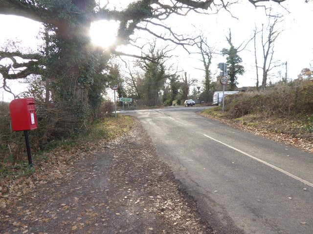
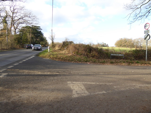
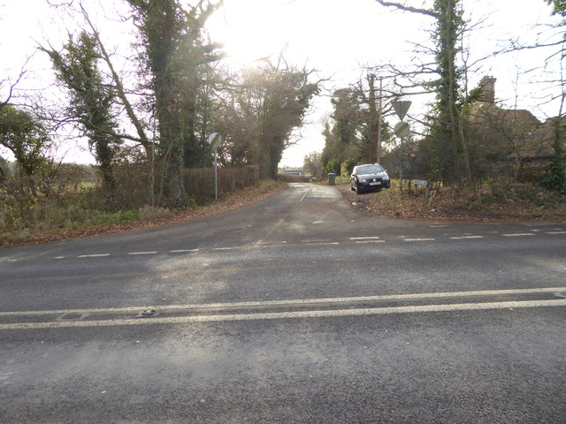
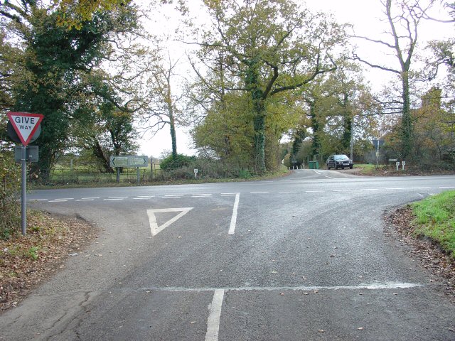
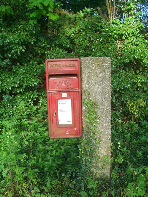
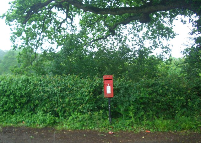
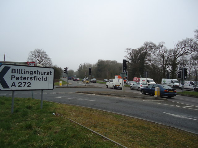
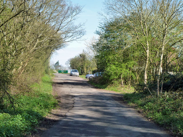
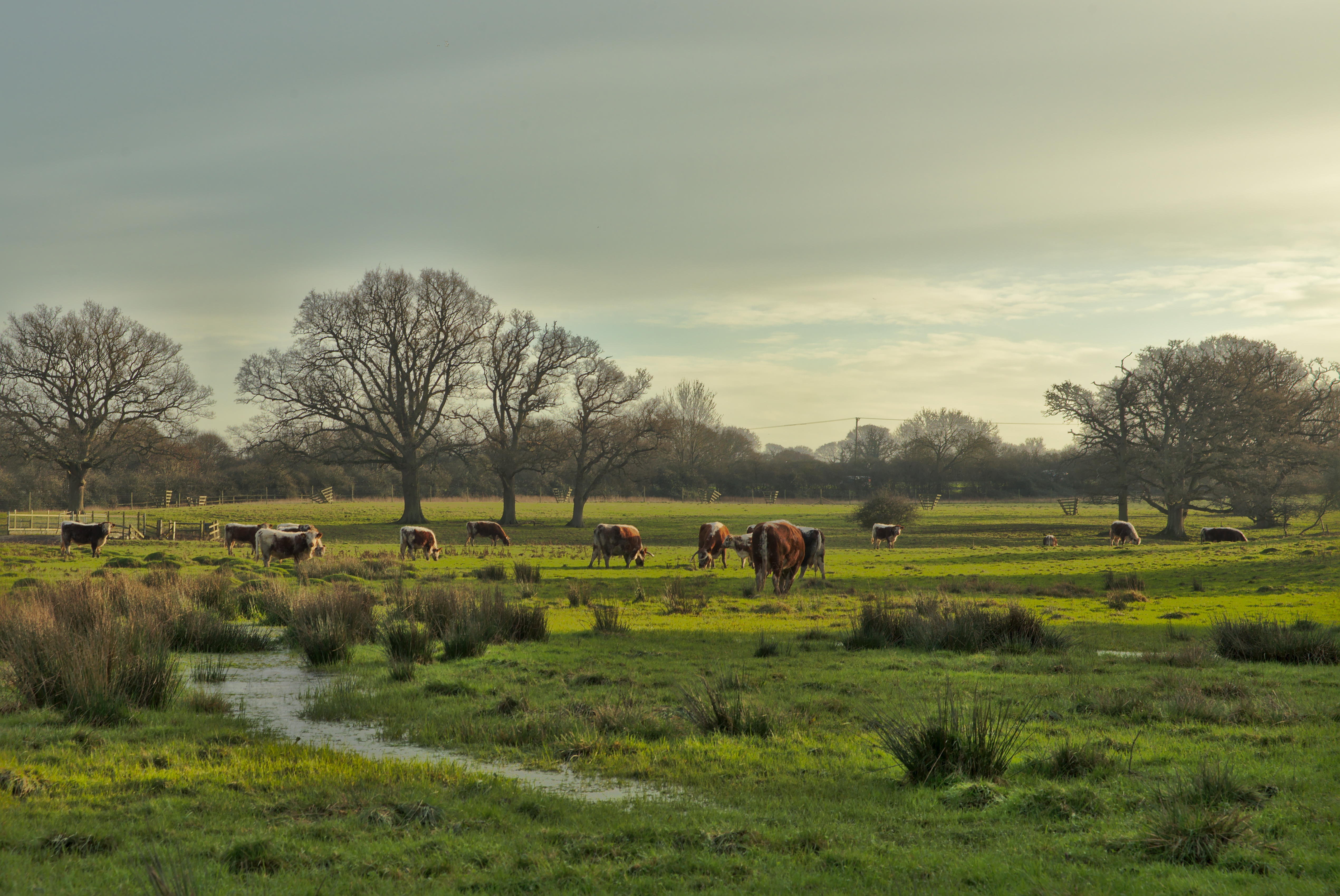
Freeman's Wood Images
Images are sourced within 2km of 50.993551/-0.31849881 or Grid Reference TQ1822. Thanks to Geograph Open Source API. All images are credited.


Freeman's Wood is located at Grid Ref: TQ1822 (Lat: 50.993551, Lng: -0.31849881)
Administrative County: West Sussex
District: Horsham
Police Authority: Sussex
What 3 Words
///helpfully.stuns.kick. Near Cowfold, West Sussex
Nearby Locations
Related Wikis

West Grinstead railway station
West Grinstead was a railway station on the Steyning Line which served the village of West Grinstead. It had a goods yard with a cattle loading bay and...

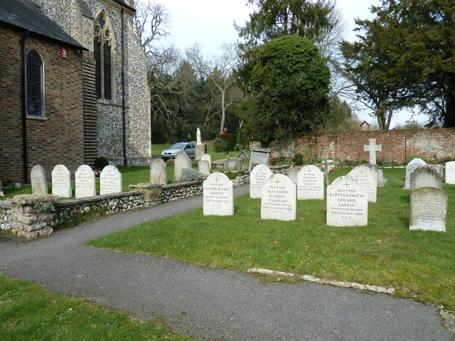
Shrine of Our Lady of Consolation
The Shrine of Our Lady of Consolation or Church of Our Lady of Consolation and Saint Francis is a Roman Catholic parish church in West Grinstead, in West...

Maplehurst, West Sussex
Maplehurst is a hamlet in the civil parish of Nuthurst, and the Horsham District of West Sussex, England. The hamlet is on the Copsale to Nuthurst road...

Copsale
Copsale is a hamlet in the civil parish of Nuthurst, and the Horsham District of West Sussex, England. It lies on the Southwater to Maplehurst road 3.5...

West Grinstead
West Grinstead is a village and civil parish in the Horsham District of West Sussex, England. It lies just off the B2135 road four miles (6.3 km) northwest...

St George's Church, West Grinstead
St George's Church is an Anglican church in West Grinstead, West Sussex, England. It is in the Diocese of Chichester, occupying a rural position in the...

Knepp Castle
The medieval Knepp Castle (sometimes referred to as 'Old Knepp Castle', to distinguish it from the nearby 19th-century mansion) is to the west of the village...
Knepp Wildland
Knepp Wildland is the first major lowland rewilding project in England. It comprises 1,400 hectares (3,500 acres; 5.4 square miles) of former arable and...
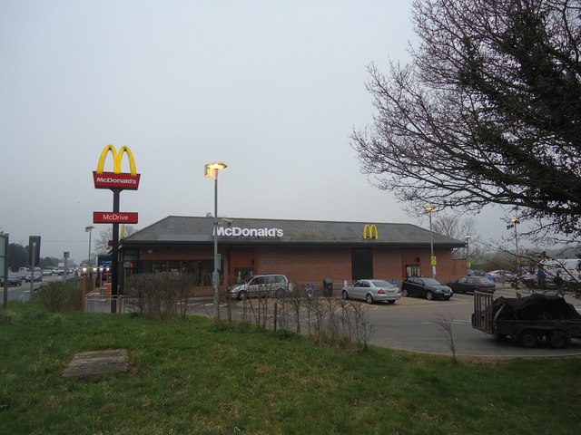
Nearby Amenities
Located within 500m of 50.993551,-0.31849881Have you been to Freeman's Wood?
Leave your review of Freeman's Wood below (or comments, questions and feedback).