Porter's Wood

Wood, Forest in Sussex Horsham

England

Porter's Wood

Ghyll Manor Hotel, Rusper, West Sussex Originally a private house, this hotel now provides luxurious accommodation in a rural setting in the small village of Rusper.
Ghyll Manor Hotel, Rusper, West Sussex Credit: Pete Chapman

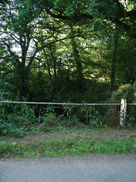
Porter's Wood is a picturesque forest located in Sussex, England. Spanning approximately 100 acres, this woodland is a popular destination for both locals and tourists seeking a tranquil escape. The wood is situated on the outskirts of a charming village, surrounded by rolling hills and countryside.

The woodland features a diverse range of trees, including oak, beech, and birch, which create a vibrant and enchanting atmosphere throughout the year. During the spring and summer months, the forest is adorned with a stunning display of wildflowers, adding bursts of color to the lush green surroundings. The forest floor is covered in a carpet of moss and ferns, creating a serene and peaceful ambiance.

Porter's Wood is a haven for wildlife enthusiasts, offering a habitat for a variety of creatures. Birdwatchers can spot a plethora of bird species, including woodpeckers, owls, and various songbirds. Squirrels, badgers, and deer are also commonly spotted within the wood, adding to the natural beauty and charm of the area.

Visitors can explore the wood through a network of well-maintained footpaths and trails, allowing them to immerse themselves in the stunning scenery. There are also picnic areas and benches strategically placed throughout the woodland, providing opportunities for visitors to relax and take in the tranquil surroundings.

Overall, Porter's Wood in Sussex is a captivating and idyllic forest, offering visitors a chance to reconnect with nature and enjoy the peacefulness of the countryside.

If you have any feedback on the listing, please let us know in the comments section below.

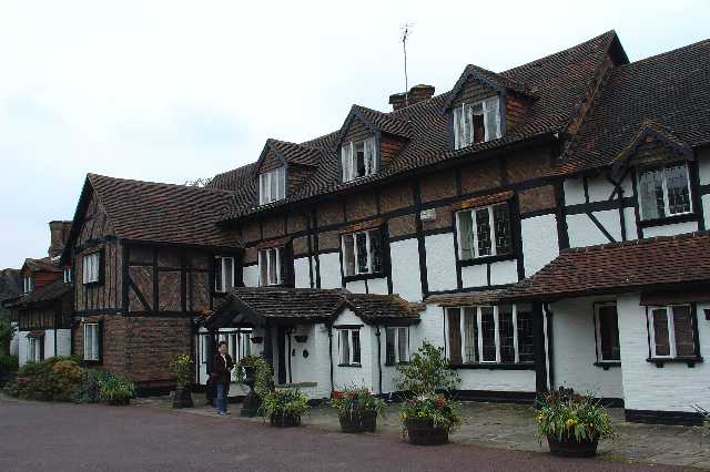
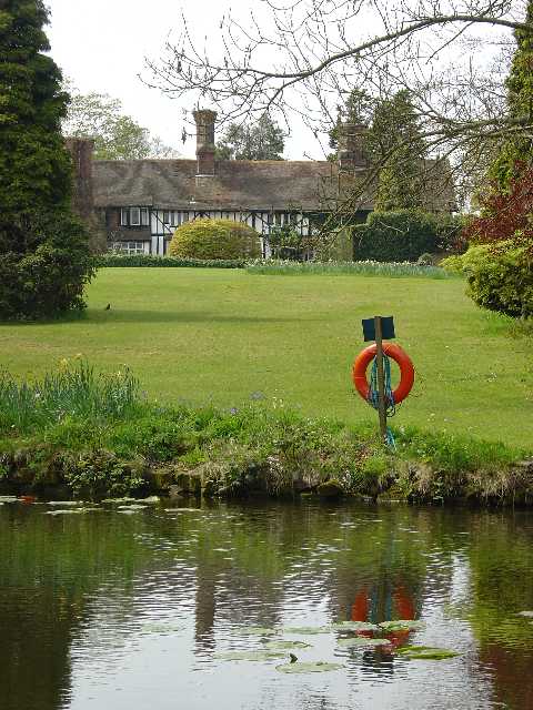
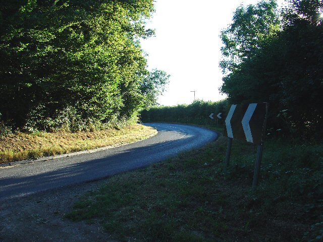
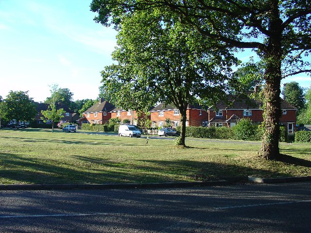
Porter's Wood Images

Images are sourced within 2km of 51.117777/-0.3052344 or Grid Reference TQ1836. Thanks to Geograph Open Source API. All images are credited.

Ghyll Manor Hotel, Rusper, West Sussex Originally a private house, this hotel now provides luxurious accommodation in a rural setting in the small village of Rusper.
Ghyll Manor Hotel, Rusper, West Sussex
Originally a private house, this hotel now provides luxurious accommodation in a rural setting in the small village of Rusper.
Pond in the grounds of Ghyll Manor Hotel, Rusper, West Sussex The grounds of the hotel include an ornamental pond with water lilies and large goldfish. The view shows the pond in the foreground, with the back of the main hotel building in the background
Pond in the grounds of Ghyll Manor Hotel, Rusper, West Sussex
The grounds of the hotel include an ornamental pond with water lilies and large goldfish. The view shows the pond in the foreground, with the back of the main hotel building in the background
Waffles Corner on the road between Rusper (West Sussex) and Capel (Surrey). Many such roads in this area. The rural population is quite high and these roads are often busy, hence quite wide and with lines down the middle.
Waffles Corner on the road between Rusper (West Sussex) and Capel (Surrey).
Many such roads in this area. The rural population is quite high and these roads are often busy, hence quite wide and with lines down the middle.
Houses at Gardeners Green, Rusper, West Sussex On the outskirts of the village of Rusper. This is a private estate of houses. This is an example of ribbon development along the existing rural roads. Viewed from Horsham Road looking N.
Houses at Gardeners Green, Rusper, West Sussex
On the outskirts of the village of Rusper. This is a private estate of houses. This is an example of ribbon development along the existing rural roads. Viewed from Horsham Road looking N.
Tributary of River Mole, Near Coombers Farm, Faygate, West Sussex. The River Mole is one of the main rivers in the area. This is a very young tributary. The stream runs through a narrow strip of trees for around 2km at this point. See the River Mole again in grid square TQ2337.
Tributary of River Mole, Near Coombers Farm, Faygate, West Sussex.
The River Mole is one of the main rivers in the area. This is a very young tributary. The stream runs through a narrow strip of trees for around 2km at this point. See the River Mole again in grid square TQ2337.
The Plough Inn, Rusper. A fine, old, weather-boarded village pub.
The Plough Inn, Rusper.
A fine, old, weather-boarded village pub.
A snowy Rusper churchyard It is surprising that this photogenic and accessible village has so few geographs.
A snowy Rusper churchyard
It is surprising that this photogenic and accessible village has so few geographs.
The happier face of the Church of England An opportunist decoration on St Mary Magdalene's Church, Rusper.
The happier face of the Church of England
An opportunist decoration on St Mary Magdalene's Church, Rusper.
Gardeners Green, Rusper The last residential development in Rusper, going towards Horsham.
Gardeners Green, Rusper
The last residential development in Rusper, going towards Horsham.
Rusper Church Tower Battlemented tower on the parish church, St Mary Magdalene, with an ornate garlanded cross in the foreground.
<span class="nowrap"><a title="http://www.rusperchurch.co.uk/" rel="nofollow ugc noopener" href="http://www.rusperchurch.co.uk/">Link</a><img style="margin-left:2px;" alt="External link" title="External link - shift click to open in new window" src="https://s1.geograph.org.uk/img/external.png" width="10" height="10"/></span>
Rusper Church Tower
Battlemented tower on the parish church, St Mary Magdalene, with an ornate garlanded cross in the foreground. LinkExternal link
Font, Rusper Church Older font in the Rusper parish church, West Sussex.
<span class="nowrap"><a title="http://www.rusperchurch.co.uk/" rel="nofollow ugc noopener" href="http://www.rusperchurch.co.uk/">Link</a><img style="margin-left:2px;" alt="External link" title="External link - shift click to open in new window" src="https://s1.geograph.org.uk/img/external.png" width="10" height="10"/></span>
Font, Rusper Church
Older font in the Rusper parish church, West Sussex. LinkExternal link
Rusper Church, East Window Designed by Gerald Smith, the window has the ascended Lord of Glory as its centrepiece, flanked by the four seasons.
<span class="nowrap"><a title="http://www.rusperchurch.co.uk/" rel="nofollow ugc noopener" href="http://www.rusperchurch.co.uk/">Link</a><img style="margin-left:2px;" alt="External link" title="External link - shift click to open in new window" src="https://s1.geograph.org.uk/img/external.png" width="10" height="10"/></span>
Rusper Church, East Window
Designed by Gerald Smith, the window has the ascended Lord of Glory as its centrepiece, flanked by the four seasons. LinkExternal link
Saint Mary Magdalene Church, Rusper A church stood here in the 1300s and probably earlier. The current building is Victorian and had its foundation stone laid in 1854. The war memorial is to the left in the photograph.
<span class="nowrap"><a title="http://www.rusperchurch.co.uk/" rel="nofollow ugc noopener" href="http://www.rusperchurch.co.uk/">Link</a><img style="margin-left:2px;" alt="External link" title="External link - shift click to open in new window" src="https://s1.geograph.org.uk/img/external.png" width="10" height="10"/></span>
Saint Mary Magdalene Church, Rusper
A church stood here in the 1300s and probably earlier. The current building is Victorian and had its foundation stone laid in 1854. The war memorial is to the left in the photograph. LinkExternal link
Rusper, West Sussex Bow windows on Rusper's High Street beside the village churchyard.
Rusper, West Sussex
Bow windows on Rusper's High Street beside the village churchyard.
Wayside, Rusper Residential care home on the High Street in the West Sussex village of Rusper.
Wayside, Rusper
Residential care home on the High Street in the West Sussex village of Rusper.
Horsham Road, Rusper Attractive tile-hung cottages near the centre of Rusper village.
Horsham Road, Rusper
Attractive tile-hung cottages near the centre of Rusper village.
Rusper, West Sussex Village scene with horse riders passing one of the village pubs, The Star Inn.
Rusper, West Sussex
Village scene with horse riders passing one of the village pubs, The Star Inn.
Pond at Baldhorns Park Farm with small reservoir just below the source of the River Mole at Rusper.
Pond at Baldhorns Park
Farm with small reservoir just below the source of the River Mole at Rusper.
Show me another place!

Porter's Wood is located at Grid Ref: TQ1836 (Lat: 51.117777, Lng: -0.3052344)

Administrative County: West Sussex

District: Horsham

Police Authority: Sussex

What 3 Words

///averts.umbrellas.premises. Near Capel, Surrey

Related Wikis

Shiremark Mill, Capel

Shiremark Mill, also known as Kingsfold Mill or Capel Mill was a listed Smock mill at Capel, Surrey, England, which was burnt down in 1972. == History... ==

Warnham SSSI

Warnham SSSI is a 28.5-hectare (70-acre) geological Site of Special Scientific Interest north of Horsham in West Sussex. It is a Geological Conservation...

Rusper

Rusper is a village and civil parish in the Horsham District of West Sussex, England. It lies 4.1 miles (6.6 km) north of the town of Horsham and 4.2 miles...

Clock House Brickworks

Clock House Brickworks is a 35.9-hectare (89-acre) geological Site of Special Scientific Interest south of Capel in Surrey. It is a Geological Conservation...

Auclaye

Auclaye is a 0.6-hectare (1.5-acre) geological Site of Special Scientific Interest south of Capel in Surrey. It is a Geological Conservation Review site...

Bohunt Horsham

Bohunt Horsham is a coeducational all-through school located in Horsham, West Sussex, England. The school opened to 120 students in Year 7 in 2019 in temporary...

Graylands

Graylands is a hamlet in the Horsham district of West Sussex, England. The largely rural hamlet is located north of Holbrook beyond the A264. It is bordered...

Old Holbrook

Old Holbrook (formerly known as Northlands) is a hamlet in the Horsham district of West Sussex, England. This rural hamlet is located north of the Horsham...

Nearby Amenities

Located within 500m of 51.117777,-0.3052344
Barrier: stile
Lat/Long: 51.1194813/-0.3067658
Barrier: stile
Lat/Long: 51.1195453/-0.3013173
Nunnery Farm
Place: farm
Lat/Long: 51.1136498/-0.3036692
The Nunnery
Place: isolated_dwelling
Lat/Long: 51.114472/-0.3010887
Porter's Farm
Place: farm
Lat/Long: 51.1198107/-0.3034924
Barrier: stile
Lat/Long: 51.1193721/-0.3056737
Barrier: stile
Lat/Long: 51.1158175/-0.3037385
Barrier: stile
Lat/Long: 51.1153956/-0.3037505
Barrier: stile
Lat/Long: 51.1196369/-0.301924
Barrier: stile
Lat/Long: 51.1198353/-0.3045273
Power: pole
Lat/Long: 51.1180543/-0.3090602
Power: pole
Lat/Long: 51.1182361/-0.3082582
Power: pole
Lat/Long: 51.1182193/-0.3067535
Power: pole
Lat/Long: 51.1179701/-0.2996939
Power: pole
Lat/Long: 51.1181856/-0.3037172
Disused Amenity: post_box
Operator: Royal Mail
Post Box Type: wall
Ref: RH12 115
Royal Cypher: EIIR
Lat/Long: 51.1191262/-0.3075635
Power: pole
Lat/Long: 51.1173026/-0.3090229
Power: pole
Lat/Long: 51.1162414/-0.3098299
Power: pole
Lat/Long: 51.1150513/-0.3099974
The data included in this document is from www.openstreetmap.org. The data is made available under ODbL.

Have you been to Porter's Wood?

Leave your review of Porter's Wood below (or comments, questions and feedback).