Ash Green

Wood, Forest in Hertfordshire St. Albans

England

Ash Green

Signal mast Looking E to the signal mast at TL184103.
Signal mast Credit: Rob Hinkley

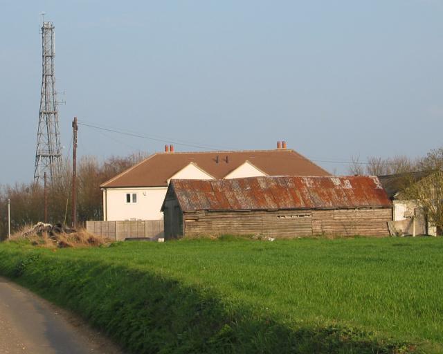
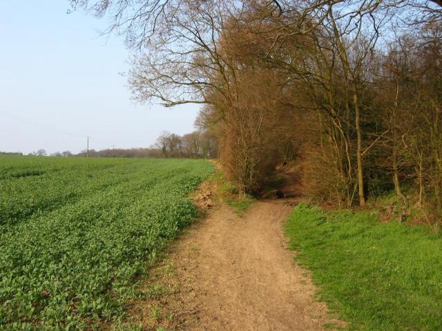
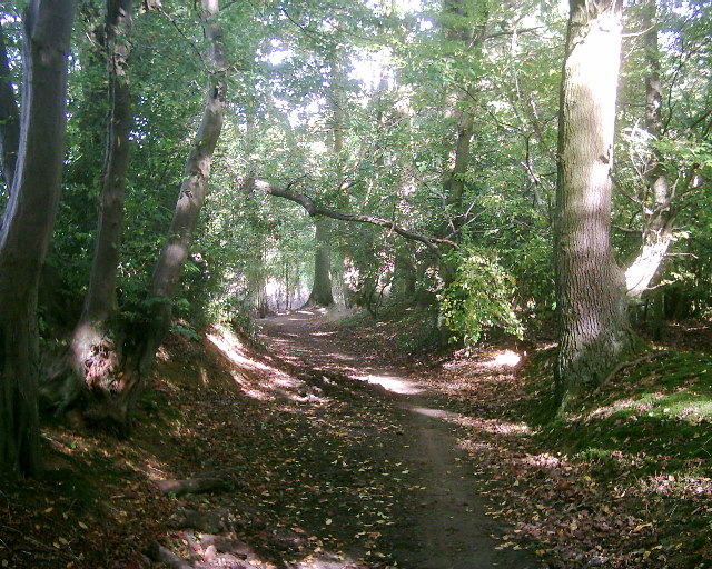
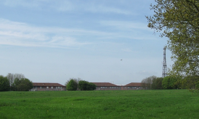
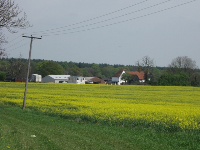
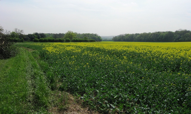
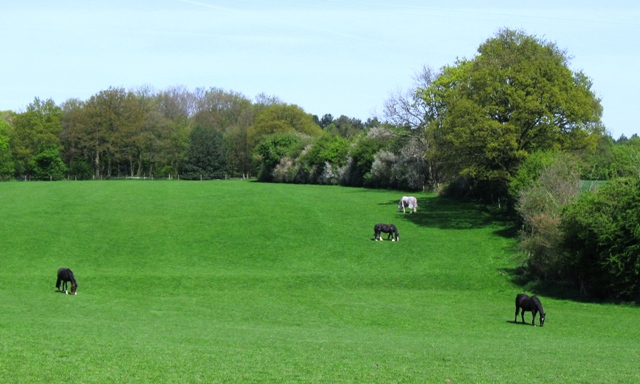
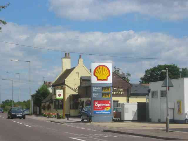
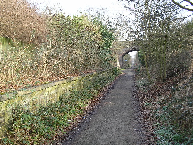
Ash Green is a small village located in the county of Hertfordshire, England. Situated amidst a beautiful woodland area, it is known for its picturesque setting and natural beauty. Surrounded by dense forests, it offers a serene and tranquil atmosphere, making it an ideal retreat for nature lovers.

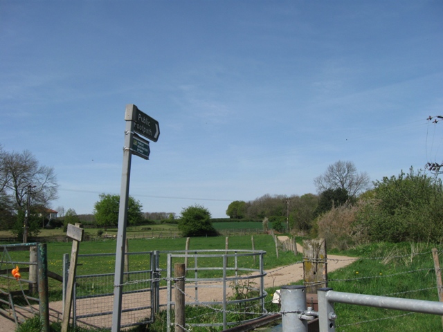
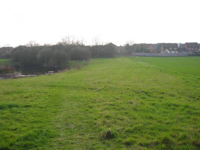
The village of Ash Green is characterized by its abundance of greenery and tall ash trees, which give it its name. The woodlands surrounding the village provide ample opportunities for outdoor activities such as hiking, walking, and birdwatching. The forest is home to a diverse range of flora and fauna, including oak, beech, and birch trees, as well as various species of birds, deer, and squirrels.

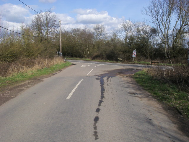
Despite its peaceful and rural setting, Ash Green is conveniently located near major transport links. The nearby A1(M) motorway provides easy access to London and other major cities, making it a popular choice for commuters. The village is also well-connected by public transportation, with regular bus services to neighboring towns and villages.

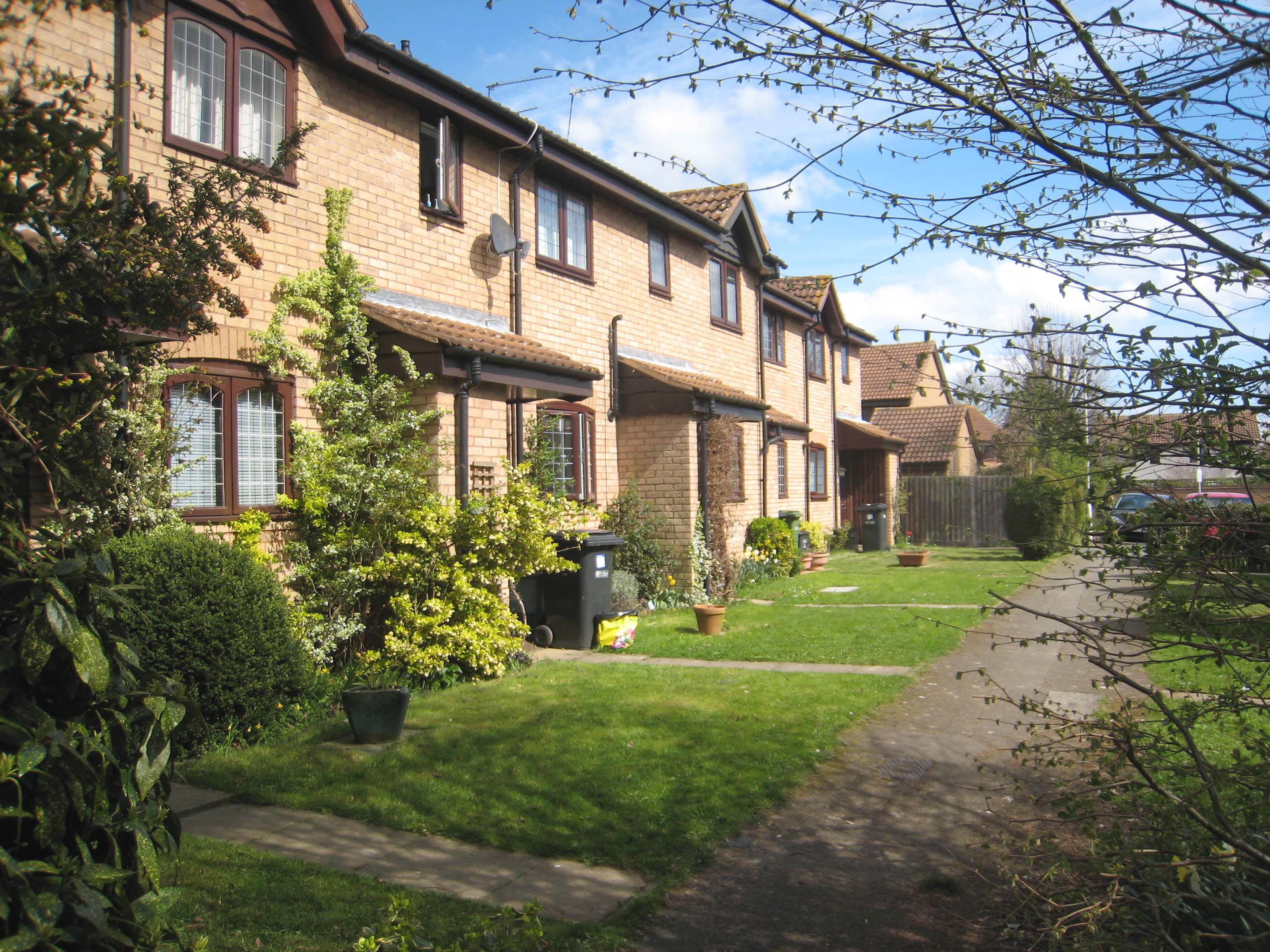
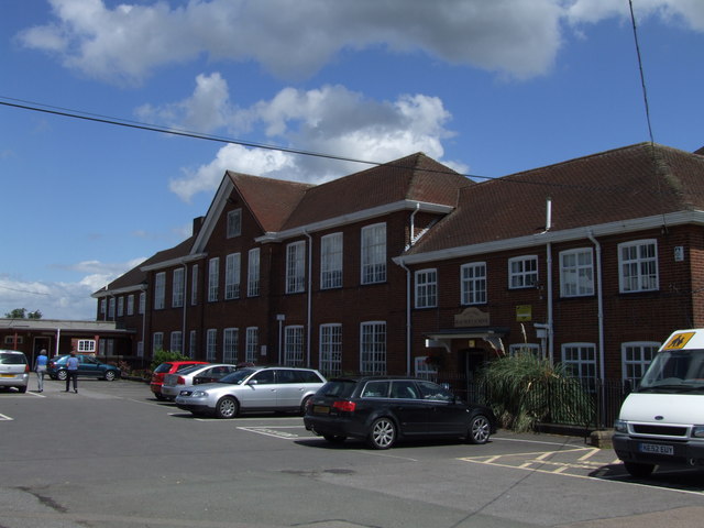
In terms of amenities, Ash Green offers a range of facilities to cater to its residents' needs. There is a local primary school, a village hall, and a community center that host various events and activities throughout the year. Additionally, there are a few shops and pubs in the vicinity, providing essential services and a sense of community.

Overall, Ash Green, Hertfordshire is a charming village nestled in a woodland paradise. Its natural surroundings, coupled with its convenient location, make it an attractive place to live for those seeking a peaceful and idyllic lifestyle.

If you have any feedback on the listing, please let us know in the comments section below.
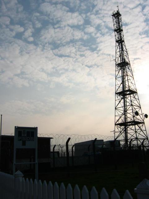
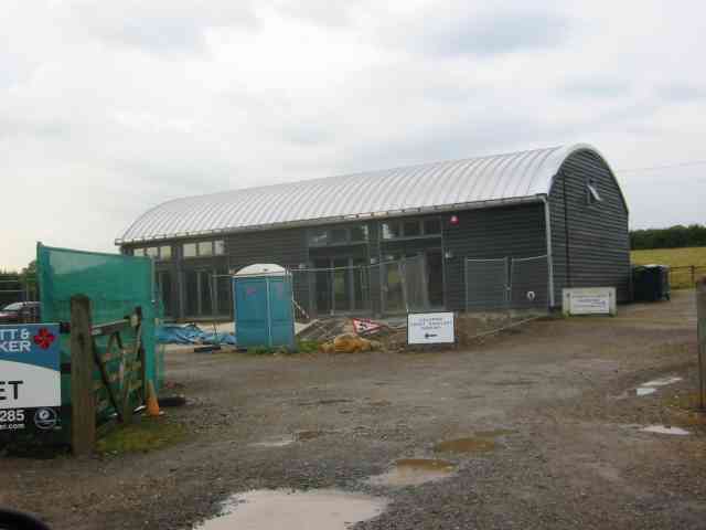
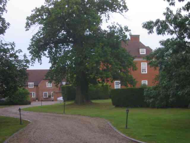
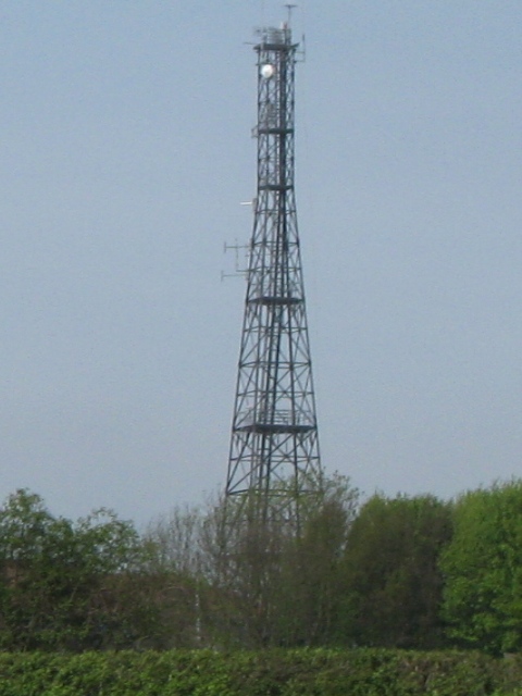
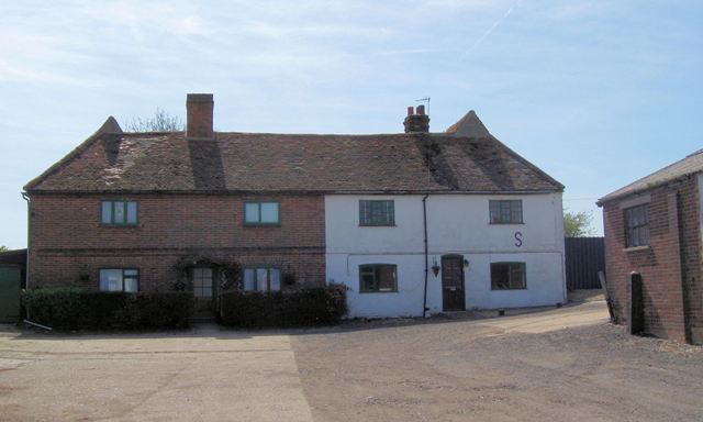
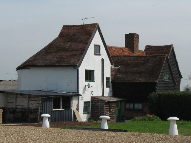
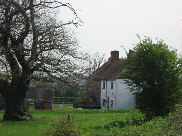
Ash Green Images

Images are sourced within 2km of 51.766229/-0.28101567 or Grid Reference TL1808. Thanks to Geograph Open Source API. All images are credited.

Signal mast Looking E to the signal mast at TL184103.
Signal mast
Looking E to the signal mast at TL184103.
Signal mast and razor wire Looking almost straight into the sun from TL185104 at the signal mast on the road coming east out of Sandridge.
No normal phone mast this; the thing's ringed with two layers of razor wire fence and has a sign at the entrance with a royal coat of arms on it. Photo notes: for better results take photo in morning, not afternoon like I did - the mast's partially obscured by trees from the west, so better to be east of it with the sun behind you.
Signal mast and razor wire
Looking almost straight into the sun from TL185104 at the signal mast on the road coming east out of Sandridge. No normal phone mast this; the thing's ringed with two layers of razor wire fence and has a sign at the entrance with a royal coat of arms on it. Photo notes: for better results take photo in morning, not afternoon like I did - the mast's partially obscured by trees from the west, so better to be east of it with the sun behind you.
Fork in the path Looking North from TL188105, the path forking right into Symondshyde Great Wood
Fork in the path
Looking North from TL188105, the path forking right into Symondshyde Great Wood
Ramp into tunnel under the road called Woodcockhill There is evidence of sand pit workings on both sides of the road.The trees in the distance are in Symondshydes Great Wood
Ramp into tunnel under the road called Woodcockhill
There is evidence of sand pit workings on both sides of the road.The trees in the distance are in Symondshydes Great Wood
New Dutch Barn workshops Fairfolds Farm This is obviously a farm refurbished as business premises
New Dutch Barn workshops Fairfolds Farm
This is obviously a farm refurbished as business premises
Fairshot Court in Woodcockhill Sandridge The gates were shut and barred but with no fence alongside the gate posts.
Fairshot Court in Woodcockhill Sandridge
The gates were shut and barred but with no fence alongside the gate posts.
Footpath in Symondshyde Great Wood Footpath on western edge of Symondshyde Great Wood looking south.
Footpath in Symondshyde Great Wood
Footpath on western edge of Symondshyde Great Wood looking south.
Wireless Mast, Woodcock Hill, Sandridge Intriguing – This old-fashioned looking radio mast is stuck on the top of a minor hill in the Hertfordshire countryside and looks most incongruous. The map marks it as a wireless station and there are some mysterious road signs to “HOSDB”. I must find our more ... <a href="https://www.geograph.org.uk/photo/1272141">TL1810 : HOSDB (Home Office Scientific Development Branch) Sandridge</a>
Wireless Mast, Woodcock Hill, Sandridge
Intriguing – This old-fashioned looking radio mast is stuck on the top of a minor hill in the Hertfordshire countryside and looks most incongruous. The map marks it as a wireless station and there are some mysterious road signs to “HOSDB”. I must find our more ... TL1810 : HOSDB (Home Office Scientific Development Branch) Sandridge
HOSDB (Home Office Scientific Development Branch) Sandridge The original site began 1939 as a wireless intercept station for the Foreign Office operated by GPO radio engineers and was used to intercept diplomatic traffic between enemy governments and their embassies. Initially the messages were in morse code but later Germany used high speed encryption and transmission equipment that needed to be recorded by undulators, a mechanised paper strip inking system. The results were sent by teleprinter to Bletchley park for decryption. The messages were of the highest value to Winston Churchill who received assessments every day. After WW2 it became part of the Diplomatic Wireless Service and remained largely unchanged until 1973 when it was handed over to the Home office. Sources - National Archives file HW55/3 & HW14/102, <span class="nowrap"><a title="http://www.ystations.webs.com/" rel="nofollow ugc noopener" href="http://www.ystations.webs.com/">Link</a><img style="margin-left:2px;" alt="External link" title="External link - shift click to open in new window" src="https://s1.geograph.org.uk/img/external.png" width="10" height="10"/></span>
HOSDB (Home Office Scientific Development Branch) Sandridge
The original site began 1939 as a wireless intercept station for the Foreign Office operated by GPO radio engineers and was used to intercept diplomatic traffic between enemy governments and their embassies. Initially the messages were in morse code but later Germany used high speed encryption and transmission equipment that needed to be recorded by undulators, a mechanised paper strip inking system. The results were sent by teleprinter to Bletchley park for decryption. The messages were of the highest value to Winston Churchill who received assessments every day. After WW2 it became part of the Diplomatic Wireless Service and remained largely unchanged until 1973 when it was handed over to the Home office. Sources - National Archives file HW55/3 & HW14/102, LinkExternal link
Fairfolds Farm, Woodcock Hill, Sandridge Nos 1 and 2 Fairfold's Farm Cottages were built as a  timber framed farmhouse in the 15th or 16th century with cross wings probably added in the 17th century. This was later turned into two 2 cottages. It has gabled wings at each end, slightly projecting and with steep pitched roofs. Centre right section was probably an open hall when first built. <span class="nowrap"><a title="http://www.imagesofengland.org.uk/Details/Default.aspx?id=163916&mode=quick" rel="nofollow ugc noopener" href="http://www.imagesofengland.org.uk/Details/Default.aspx?id=163916&mode=quick">Link</a><img style="margin-left:2px;" alt="External link" title="External link - shift click to open in new window" src="https://s1.geograph.org.uk/img/external.png" width="10" height="10"/></span> 

In 1726 “Fearfull's Farm” was part of the Manor of Sandridge. The copyhold owner was John Huntsman and the tenant was Joseph Smith. The farm was a big one for the time at 229 acres. <span class="nowrap"><a title="http://www.hertfordshire-genealogy.co.uk/data/topics/t064-sandridge-1726.htm#_ftn11" rel="nofollow ugc noopener" href="http://www.hertfordshire-genealogy.co.uk/data/topics/t064-sandridge-1726.htm#_ftn11">Link</a><img style="margin-left:2px;" alt="External link" title="External link - shift click to open in new window" src="https://s1.geograph.org.uk/img/external.png" width="10" height="10"/></span> 

Members of the Thrale family were farmers there in the second half of the 18th century until the death of Thomas Thrale in 1813. Thomas was succeeded by his brother-in-law Charles Parsons, who was there until 1834. The next farmer recorded there was James Cole. Later in the 19th century members of the George Family also farmed there as did George Byles.
Fairfolds Farm, Woodcock Hill, Sandridge
Nos 1 and 2 Fairfold's Farm Cottages were built as a timber framed farmhouse in the 15th or 16th century with cross wings probably added in the 17th century. This was later turned into two 2 cottages. It has gabled wings at each end, slightly projecting and with steep pitched roofs. Centre right section was probably an open hall when first built. LinkExternal link In 1726 “Fearfull's Farm” was part of the Manor of Sandridge. The copyhold owner was John Huntsman and the tenant was Joseph Smith. The farm was a big one for the time at 229 acres. LinkExternal link Members of the Thrale family were farmers there in the second half of the 18th century until the death of Thomas Thrale in 1813. Thomas was succeeded by his brother-in-law Charles Parsons, who was there until 1834. The next farmer recorded there was James Cole. Later in the 19th century members of the George Family also farmed there as did George Byles.
Fairfolds Farm showing gabled wings For history of this 15th/16th century farm see <a href="https://www.geograph.org.uk/photo/1272142">TL1810 : Fairfolds Farm, Woodcock Hill, Sandridge</a>
Fairfolds Farm showing gabled wings
For history of this 15th/16th century farm see TL1810 : Fairfolds Farm, Woodcock Hill, Sandridge
An Old Tree and Fairfolds Farm, Woodcock Hill, Sandridge For history of this 15th/16th century farm see <a href="https://www.geograph.org.uk/photo/1272142">TL1810 : Fairfolds Farm, Woodcock Hill, Sandridge</a>
An Old Tree and Fairfolds Farm, Woodcock Hill, Sandridge
For history of this 15th/16th century farm see TL1810 : Fairfolds Farm, Woodcock Hill, Sandridge
A Distant View of Fairfolds Farm For history of farm see <a href="https://www.geograph.org.uk/photo/1272142">TL1810 : Fairfolds Farm, Woodcock Hill, Sandridge</a>
A Distant View of Fairfolds Farm
A field of oil-seed rape at Fairfolds Farm The Ordnance Survey shows a short length of footpath that runs close to the farm. While there is a finger post on the road the route is not clearly marked – but it runs between the hedge on the immediate left and the crop.
The Woods in the distance are Sleeve Hall Wood and Hook's Wood.
A field of oil-seed rape at Fairfolds Farm
The Ordnance Survey shows a short length of footpath that runs close to the farm. While there is a finger post on the road the route is not clearly marked – but it runs between the hedge on the immediate left and the crop. The Woods in the distance are Sleeve Hall Wood and Hook's Wood.
Field opposite Fairfolds Farm with Hill Wood beyond, Sandridge
A well-marked Bridleway in Sandridge Parish This bridleway runs between  Woodcock Hill and Hammonds Lane, running along the western edges of Hill Wood, Hammonds Wood and Symondshyde Great Wood.
A well-marked Bridleway in Sandridge Parish
This bridleway runs between Woodcock Hill and Hammonds Lane, running along the western edges of Hill Wood, Hammonds Wood and Symondshyde Great Wood.
Woodcock Hill Woodcock Hill junction with Coopers Green Lane
Woodcock Hill
Woodcock Hill junction with Coopers Green Lane
Pond on NE fringe of Marshalswick Looking South-Westish across the pond at TL177097 toward the NE fringe of Marshalswick. Road to Sandridge is behind you.
Pond on NE fringe of Marshalswick
Looking South-Westish across the pond at TL177097 toward the NE fringe of Marshalswick. Road to Sandridge is behind you.
Show me another place!

Ash Green is located at Grid Ref: TL1808 (Lat: 51.766229, Lng: -0.28101567)

Administrative County: Hertfordshire

District: St. Albans

Police Authority: Hertfordshire

What 3 Words

///carry.patrol.engage. Near St Albans, Hertfordshire

Nearby Locations

Ash Green

Related Wikis

Jersey Farm

Jersey Farm is a residential neighbourhood in the civil parish of Sandridge centred 1.5 miles (2.4 km) north-east of the city centre of St Albans. It is...

Beaumont School, St Albans

Beaumont School is a coeducational secondary school and sixth form with academy status, located in St Albans, Hertfordshire, England. It was founded in...

Smallford

Smallford is a village in the City and District of St Albans, Hertfordshire, United Kingdom. It is sandwiched between Hatfield and St Albans. It was served...

Marshalswick

Marshalswick is a suburb of St Albans in Hertfordshire, England, located around 1.5 miles northeast of the city centre. The area was developed from the...

Sandringham School

Sandringham School is a secondary school with academy status in Marshalswick, St Albans, Hertfordshire. It was established in 1988 following a merger of...

Smallford railway station

Smallford railway station was a station on the former St Albans Branch Line in the UK. The station opened as Springfield in 1866, and was renamed in 1879...

Hatfield Aerodrome

Hatfield Aerodrome (IATA: HTF, ICAO: EGTH) was a private airfield and aircraft factory located in the English town of Hatfield in Hertfordshire from 1930...

The Wick Local Nature Reserve

The Wick is a 3.4 hectare Local Nature Reserve in St Albans in Hertfordshire. It is owned and managed by St Albans City Council. It is also designated...

Nearby Amenities

Located within 500m of 51.766229,-0.28101567
Barrier: kissing_gate
Foot: yes
Source: gps
Lat/Long: 51.7658563/-0.2867987
Material: wood
Power: pole
Lat/Long: 51.7653545/-0.2876295
Man Made: storage_tank
Lat/Long: 51.7627801/-0.2798013
Man Made: storage_tank
Lat/Long: 51.7628922/-0.2798563
Man Made: storage_tank
Lat/Long: 51.762848/-0.2799676
Direction: 140
Generator Method: photovoltaic
Generator Output Electricity: yes
Generator Solar Modules: 16
Generator Source: solar
Generator Type: solar_photovoltaic_panel
Location: roof
Power: generator
Tilt: 10
Lat/Long: 51.7663608/-0.28507
The data included in this document is from www.openstreetmap.org. The data is made available under ODbL.

Have you been to Ash Green?

Leave your review of Ash Green below (or comments, questions and feedback).