Pearman's Spring

Wood, Forest in Hertfordshire St. Albans

England

Pearman's Spring

Roundabout on Lamer Lane, Wheathampstead Looking towards Lower Luton Road
Roundabout on Lamer Lane, Wheathampstead Credit: David Howard

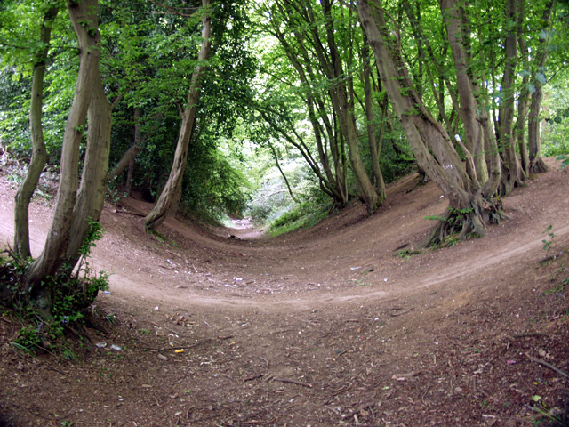
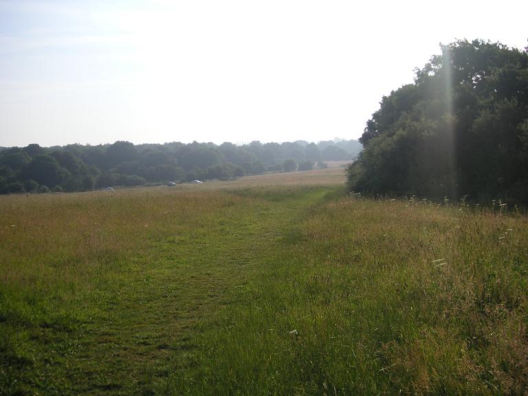
Pearman's Spring is a small, enchanting woodland located in Hertfordshire, England. Nestled within the sprawling greenery of the county, this picturesque forest is a hidden gem for nature enthusiasts and hikers alike.

Covering an area of approximately 50 acres, Pearman's Spring is characterized by its dense canopy of towering oak and beech trees. These majestic giants provide a tranquil and shady atmosphere, making it the perfect spot for a peaceful stroll or a picnic amidst nature's beauty.

The woodland is known for its diverse flora and fauna. Bluebells carpet the forest floor during the spring months, creating a breathtaking sight and attracting photographers and nature lovers from far and wide. The vibrant colors of wildflowers, such as primroses and wood anemones, add to the charm of this woodland sanctuary.

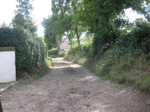
In addition to its natural wonders, Pearman's Spring boasts a network of well-maintained trails, making it accessible for visitors of all ages and abilities. Whether you're an avid hiker seeking a challenging trek or a family looking for a leisurely walk, there's a trail for everyone to enjoy.

The forest also offers a variety of wildlife, making it a haven for birdwatchers and animal enthusiasts. Keep an eye out for the elusive deer, squirrels, and a myriad of bird species that call this woodland home.

Overall, Pearman's Spring is a haven of tranquility and natural beauty in Hertfordshire. With its lush foliage, picturesque trails, and abundant wildlife, it is a must-visit destination for those seeking a peaceful escape into nature's embrace.

If you have any feedback on the listing, please let us know in the comments section below.

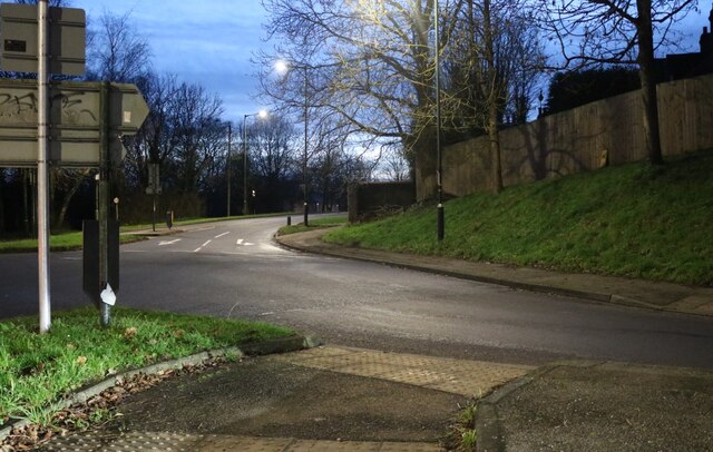
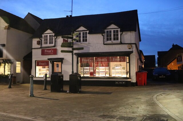
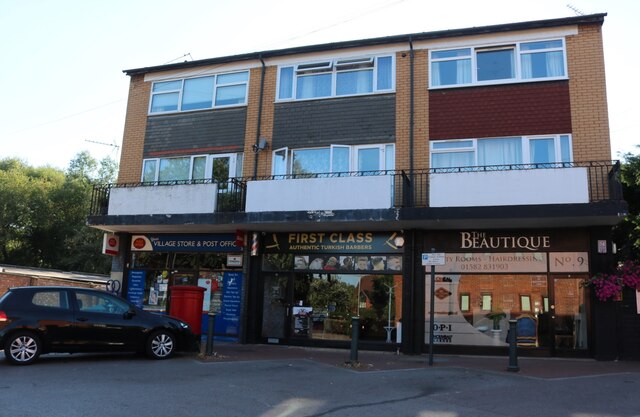
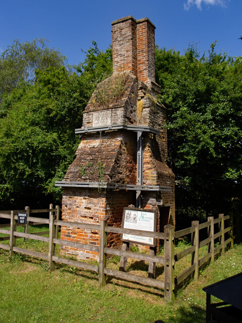
Pearman's Spring Images

Images are sourced within 2km of 51.799308/-0.28766194 or Grid Reference TL1812. Thanks to Geograph Open Source API. All images are credited.

Roundabout on Lamer Lane, Wheathampstead Looking towards Lower Luton Road
Roundabout on Lamer Lane, Wheathampstead
Looking towards Lower Luton Road
Frost's estate agents, Wheathampstead All the Frost's I've seen have been in Surrey, I didn't know they were up here as well.
Frost's estate agents, Wheathampstead
All the Frost's I've seen have been in Surrey, I didn't know they were up here as well.
Nonno's Pizza, Wheathampstead
The Hill, Wheathampstead
Shops on Station Road, Wheathampstead
Coleman Green : cottages dated 1877
Coleman Green : John Bunyan's Chimney Grade II listed structure - <span class="nowrap"><a title="https://historicengland.org.uk/listing/the-list/list-entry/1175683?section=official-list-entry" rel="nofollow ugc noopener" href="https://historicengland.org.uk/listing/the-list/list-entry/1175683?section=official-list-entry">Link</a><img style="margin-left:2px;" alt="External link" title="External link - shift click to open in new window" src="https://s1.geograph.org.uk/img/external.png" width="10" height="10"/></span>.
Coleman Green : John Bunyan's Chimney
Grade II listed structure - LinkExternal link.
Devils Dyke, Wheathampstead Part of the 'Belgic oppidum', a defensive earthwork dating from the Iron Age.
Devils Dyke, Wheathampstead
Part of the 'Belgic oppidum', a defensive earthwork dating from the Iron Age.
Road through Symondshyde Great Wood Looking East from TL194115 along the road running through Symondshyde Great Wood
Road through Symondshyde Great Wood
Looking East from TL194115 along the road running through Symondshyde Great Wood
Wheathampstead village villages always seem to be devoid of people.
Wheathampstead village
villages always seem to be devoid of people.
Coleman Green This is the John Bunyan pub
Coleman Green
This is the John Bunyan pub
West End Farm near Ayres End The farm buildings are a motley mix in all states of disrepair. There are builders in the yard
West End Farm near Ayres End
The farm buildings are a motley mix in all states of disrepair. There are builders in the yard
Farmhouse at Hammonds Farm Nr Coleman Green This is a fine Victorian building with much dignity
Farmhouse at Hammonds Farm Nr Coleman Green
This is a fine Victorian building with much dignity
Lane opposite Hammonds Farm Nr Coleman Green This track leads to at least two more houses.
Lane opposite Hammonds Farm Nr Coleman Green
This track leads to at least two more houses.
Countryside seen from Hammonds Lane Already the cereals have been harvested and the land tilled for the next crop
Countryside seen from Hammonds Lane
Already the cereals have been harvested and the land tilled for the next crop
Children's Play area  Vale Court Wheathampstead Note the rubberised ground cover to prevent cuts and bruises.
Children's Play area Vale Court Wheathampstead
Note the rubberised ground cover to prevent cuts and bruises.
C of E Church in Wheathampstead I am very appreciative of the spire design.
C of E Church in Wheathampstead
I am very appreciative of the spire design.
Show me another place!

Pearman's Spring is located at Grid Ref: TL1812 (Lat: 51.799308, Lng: -0.28766194)

Administrative County: Hertfordshire

District: St. Albans

Police Authority: Hertfordshire

What 3 Words

///ears.eggs.poem. Near Wheathampstead, Hertfordshire

Related Wikis

Devil's Dyke, Hertfordshire

Devil's Dyke is the remains of a prehistoric defensive ditch which lies at the east side of the village of Wheathampstead, Hertfordshire, England. It is...

Nomansland Common

Nomansland Common (sometimes simply called No Man's Land) is an area of common land in Hertfordshire, England to the south of Harpenden and the south-west...

Wheathampstead

Wheathampstead is a village and civil parish in Hertfordshire, England, north of St Albans. The population of the ward at the 2001 census was 6,058. Included...

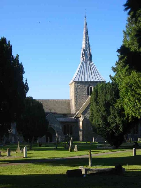
St Helen's Church, Wheathampstead

St Helen's Church is the oldest church in Wheathampstead, Hertfordshire, England, although the date of its origins is unknown. The wooden Anglo-Saxon structure...

Wheathampstead railway station

Wheathampstead railway station was a railway station serving Wheathampstead on the Great Northern Railway branch line to Dunstable. While little of it...

St Leonard's Church, Sandridge

St Leonard's Church is in Sandridge, a village in Hertfordshire, England. It is an active Anglican parish church. The building is Grade II* listed: notable...

Sandridge Lychgate

Sandridge Lychgate is a war memorial in the village of Sandridge, Hertfordshire, England. The timber lychgate with its flanking walls is listed Grade II...

The Queen's Head, Sandridge

The Queens Head is a public house in the village of Sandridge to the north of St Albans, Hertfordshire, England. The timber framed building is weather...

Nearby Amenities

Located within 500m of 51.799308,-0.28766194
Turning Circle
Lat/Long: 51.8024738/-0.2860476
Direction: 130
Generator Method: photovoltaic
Generator Output Electricity: yes
Generator Solar Modules: 78
Generator Source: solar
Generator Type: solar_photovoltaic_panel
Location: roof
Power: generator
Tilt: 10
Lat/Long: 51.8027428/-0.2848508
The data included in this document is from www.openstreetmap.org. The data is made available under ODbL.

Have you been to Pearman's Spring?

Leave your review of Pearman's Spring below (or comments, questions and feedback).