Lambwath Wood

Wood, Forest in Yorkshire

England

Lambwath Wood

Starting  to  plough  a  stubble  field  alongside  Straits  Road The grass track is called Straits Road but is only a track to fields and a footpath
Starting to plough a stubble field alongside Straits Road Credit: Martin Dawes

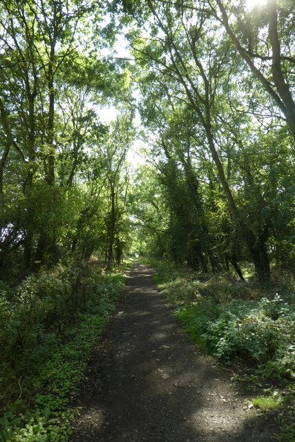
Lambwath Wood is a picturesque woodland located in Yorkshire, England. Covering an area of approximately 40 hectares, it is a popular destination for nature enthusiasts and outdoor lovers alike.

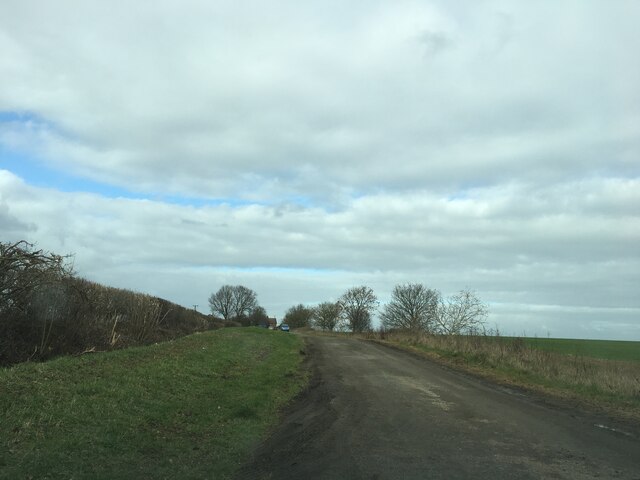
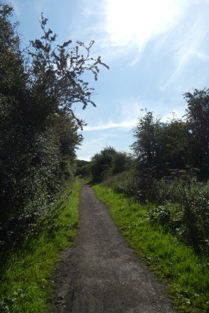
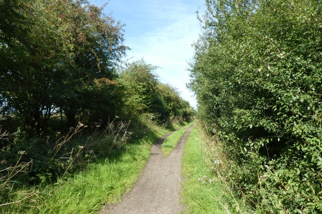
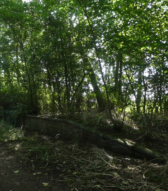
Situated on the outskirts of the village of Beverley, Lambwath Wood offers visitors a tranquil escape from the hustle and bustle of city life. The wood is predominantly made up of broadleaf trees, including oak, birch, and ash, which create a dense canopy that provides shade during the summer months.

The woodland is home to a rich variety of wildlife, making it a haven for birdwatchers and nature photographers. Visitors may be fortunate enough to spot species such as great spotted woodpeckers, tawny owls, and various songbirds. In addition to its avian inhabitants, Lambwath Wood is also home to small mammals such as squirrels, rabbits, and voles.

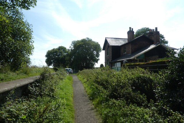
The wood is crisscrossed with a network of well-maintained footpaths, allowing visitors to explore its beauty at their leisure. These paths lead visitors through serene glades, past babbling brooks, and alongside wildflower meadows. The wood also features a small pond, which attracts a variety of aquatic creatures and provides a peaceful spot for contemplation.

Lambwath Wood is a popular destination for families, with designated picnic areas and a children's play area. It also offers educational opportunities, with informative signage throughout the wood detailing the various species of flora and fauna.

Overall, Lambwath Wood is a stunning natural gem in Yorkshire, offering visitors the chance to connect with nature and enjoy the beauty of the great outdoors.

If you have any feedback on the listing, please let us know in the comments section below.

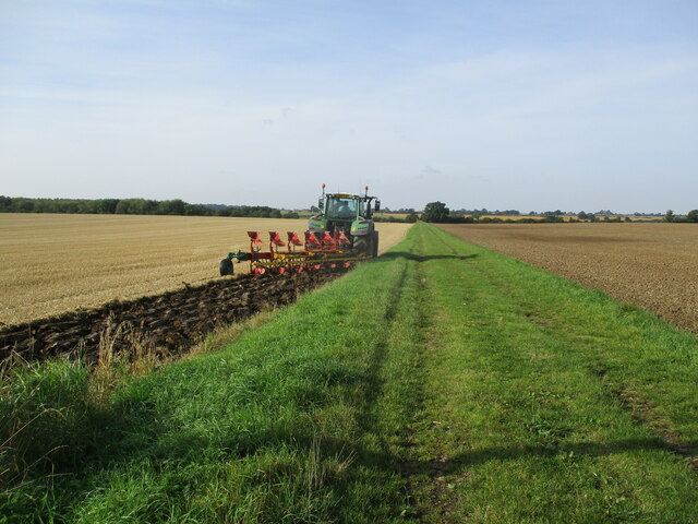
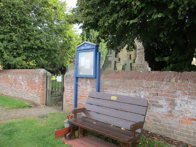
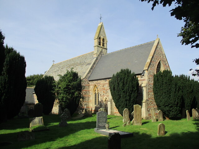
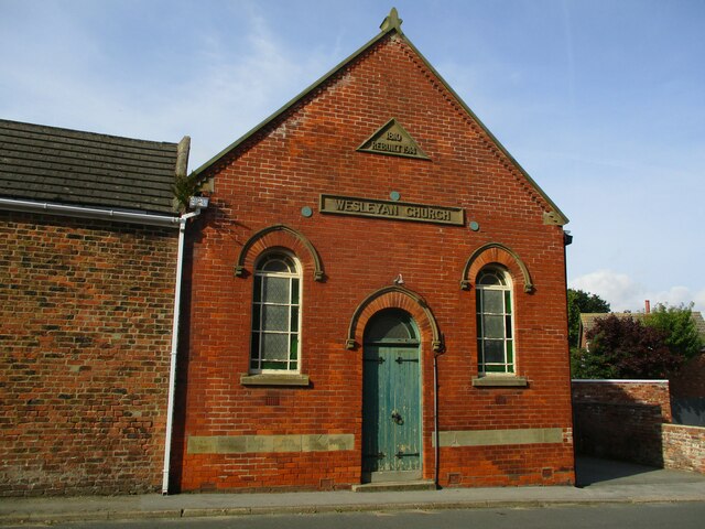
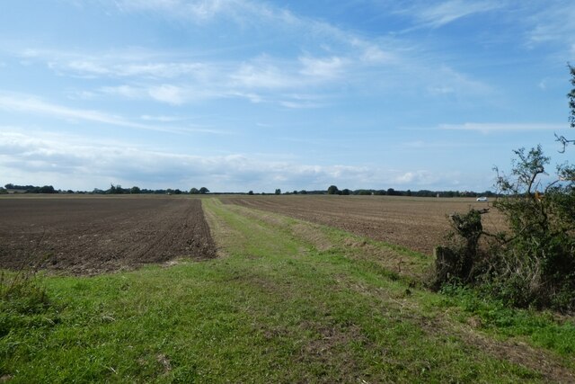
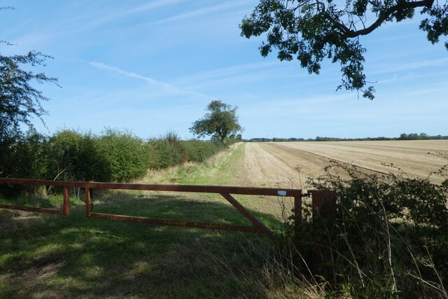
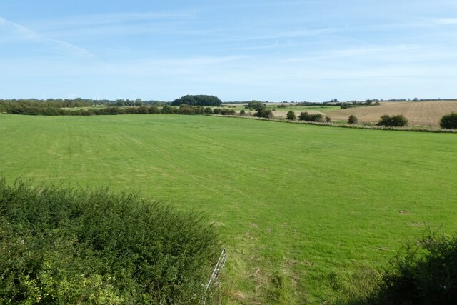
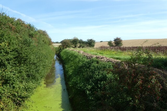
Lambwath Wood Images

Images are sourced within 2km of 53.843964/-0.20982217 or Grid Reference TA1740. Thanks to Geograph Open Source API. All images are credited.

Starting  to  plough  a  stubble  field  alongside  Straits  Road The grass track is called Straits Road but is only a track to fields and a footpath
Starting to plough a stubble field alongside Straits Road
The grass track is called Straits Road but is only a track to fields and a footpath
Gate  into  St  Alban's  churchyard  Withernwick From West Lambwath Road
Gate into St Alban's churchyard Withernwick
From West Lambwath Road
St  Alban's  Parish  Church  Withernwick Rebuilt in 1855 by Mallinson & Healey incorporating old materials from a previous church
St Alban's Parish Church Withernwick
Rebuilt in 1855 by Mallinson & Healey incorporating old materials from a previous church
Wesleyan  Church  built  1810  rebuilt  1914  Main  street
Wesleyan Church built 1810 rebuilt 1914 Main street
The  Falcon  public  house  Withernwick
The Falcon public house Withernwick
Lambwath Lane
Lambwath Lane
Rail trail north of Whitedale Station The Hornsea Rail Trail runs along the former Hull to Hornsea Railway Line and forms part of National Cycle Network route 65. The Express to Hornsea 2023 races were taking place along the trail with distances from 5 km to Ultra Marathons being run on this warm and sunny day.
Rail trail north of Whitedale Station
The Hornsea Rail Trail runs along the former Hull to Hornsea Railway Line and forms part of National Cycle Network route 65. The Express to Hornsea 2023 races were taking place along the trail with distances from 5 km to Ultra Marathons being run on this warm and sunny day.
Hornsea Rail trail north of Whitedale Station The Hornsea Rail Trail runs along the former Hull to Hornsea Railway Line and forms part of National Cycle Network route 65. The Express to Hornsea 2023 races were taking place along the trail with distances from 5 km to Ultra Marathons being run on this warm and sunny day.
Hornsea Rail trail north of Whitedale Station
The Hornsea Rail Trail runs along the former Hull to Hornsea Railway Line and forms part of National Cycle Network route 65. The Express to Hornsea 2023 races were taking place along the trail with distances from 5 km to Ultra Marathons being run on this warm and sunny day.
Rail trail in Rudders Covert The Hornsea Rail Trail runs along the former Hull to Hornsea Railway Line and forms part of National Cycle Network route 65. The Express to Hornsea 2023 races were taking place along the trail with distances from 5 km to Ultra Marathons being run on this warm and sunny day.
Rail trail in Rudders Covert
The Hornsea Rail Trail runs along the former Hull to Hornsea Railway Line and forms part of National Cycle Network route 65. The Express to Hornsea 2023 races were taking place along the trail with distances from 5 km to Ultra Marathons being run on this warm and sunny day.
Whitedale Station platform The Hornsea Rail Trail runs along the former Hull to Hornsea Railway Line and forms part of National Cycle Network route 65. The Express to Hornsea 2023 races were taking place along the trail with distances from 5 km to Ultra Marathons being run on this warm and sunny day. The platform is part of Whitedale Railway Station, which closed in 1964. For more information on the station see: <span class="nowrap"><a title="https://en.wikipedia.org/wiki/Whitedale_railway_station" rel="nofollow ugc noopener" href="https://en.wikipedia.org/wiki/Whitedale_railway_station">Link</a><img style="margin-left:2px;" alt="External link" title="External link - shift click to open in new window" src="https://s1.geograph.org.uk/img/external.png" width="10" height="10"/></span>
Whitedale Station platform
The Hornsea Rail Trail runs along the former Hull to Hornsea Railway Line and forms part of National Cycle Network route 65. The Express to Hornsea 2023 races were taking place along the trail with distances from 5 km to Ultra Marathons being run on this warm and sunny day. The platform is part of Whitedale Railway Station, which closed in 1964. For more information on the station see: LinkExternal link
Whitedale Railway Station The Hornsea Rail Trail runs along the former Hull to Hornsea Railway Line and forms part of National Cycle Network route 65. The Express to Hornsea 2023 races were taking place along the trail with distances from 5 km to Ultra Marathons being run on this warm and sunny day. The platform is part of Whitedale Railway Station, which closed in 1964. For more information on the station see: <span class="nowrap"><a title="https://en.wikipedia.org/wiki/Whitedale_railway_station" rel="nofollow ugc noopener" href="https://en.wikipedia.org/wiki/Whitedale_railway_station">Link</a><img style="margin-left:2px;" alt="External link" title="External link - shift click to open in new window" src="https://s1.geograph.org.uk/img/external.png" width="10" height="10"/></span>
Whitedale Railway Station
The Hornsea Rail Trail runs along the former Hull to Hornsea Railway Line and forms part of National Cycle Network route 65. The Express to Hornsea 2023 races were taking place along the trail with distances from 5 km to Ultra Marathons being run on this warm and sunny day. The platform is part of Whitedale Railway Station, which closed in 1964. For more information on the station see: LinkExternal link
Fields at Whitedale Looking across a field beside the Hornsea Rail Trail near Whitedale Station.
Fields at Whitedale
Looking across a field beside the Hornsea Rail Trail near Whitedale Station.
Fields towards Beverley Road Looking across farmland beside Hornsea Rail Trail.
Fields towards Beverley Road
Looking across farmland beside Hornsea Rail Trail.
Field south of Whitedale Looking into a field beside the Hornsea Rail Trail.
Field south of Whitedale
Looking into a field beside the Hornsea Rail Trail.
Fields near Lambwath Stream Drain Looking down from the Hornsea Rail Trail onto the fields below the embankment and bridge.
Fields near Lambwath Stream Drain
Looking down from the Hornsea Rail Trail onto the fields below the embankment and bridge.
Lambwath Stream Drain Looking along the drain from the Hornsea Rail Trail.
Lambwath Stream Drain
Looking along the drain from the Hornsea Rail Trail.
Wesleyan Church, Withernwick
The Falcon, Withernwick
Show me another place!

Lambwath Wood is located at Grid Ref: TA1740 (Lat: 53.843964, Lng: -0.20982217)

Division: East Riding

Unitary Authority: East Riding of Yorkshire

Police Authority: Humberside

What 3 Words

///swimsuits.graphics.dried. Near Burton Constable, East Yorkshire

Nearby Locations

Whitedale Lambwath Wood

Related Wikis

Holderness Wapentake

Holderness was a wapentake of the historic East Riding of Yorkshire, England consisting of the south-easterly part of the county. Established in medieval...

Marton, East Riding of Yorkshire

Marton is a hamlet in the civil parish of Burton Constable, in the East Riding of Yorkshire, England, and in an area known as Holderness. It is situated...

Skirlaugh Rural District

Skirlaugh was a rural district in the East Riding of Yorkshire, England from 1894 to 1935.The district formed an area around the Hornsea urban district...

Whitedale railway station

Whitedale railway station was a railway station which served the villages of Rise and Withernwick in the East Riding of Yorkshire, England. It was on the...

New Ellerby

New Ellerby is a hamlet in the East Riding of Yorkshire, England, in an area known as Holderness. It is situated approximately 8 miles (13 km) north-east...

Burton Constable railway station

Burton Constable railway station was a railway station which served the villages of Marton and Burton Constable in the East Riding of Yorkshire, England...

Withernwick

Withernwick is a village and civil parish in the East Riding of Yorkshire, England. It is situated approximately 10 miles (16 km) north-east of Hull city...

Ellerby, East Riding of Yorkshire

Ellerby is a civil parish in the East Riding of Yorkshire, England. It is situated 8 miles (13 km) to the north-east of Hull city centre and covering an...

Nearby Amenities

Located within 500m of 53.843964,-0.20982217
Hill Farm Airstrip
Addr City: Marton
Aeroway: airstrip
Operator: Aero Antiques
Lat/Long: 53.840338/-0.211895
The data included in this document is from www.openstreetmap.org. The data is made available under ODbL.

Have you been to Lambwath Wood?

Leave your review of Lambwath Wood below (or comments, questions and feedback).