Whitedale

Settlement in Yorkshire

England

Whitedale

Wrygarth Inn, Great Hatfield A former repossessed pub is now a phoenix from the ashes: finalist East Riding Council Chairman's Award for Business, finalist Britain's Best Carvery, 5-star food safety awards, Crazy Golf Course, children's play area, bistro and village store.
Wrygarth Inn, Great Hatfield Credit: ray thompson

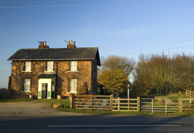
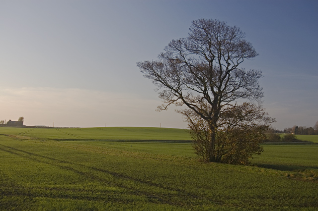
Whitedale is a small village located in the picturesque county of Yorkshire, England. Situated amidst rolling hills and lush green countryside, Whitedale is known for its peaceful and idyllic setting. The village is home to a close-knit community of residents who take pride in their charming surroundings.

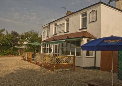
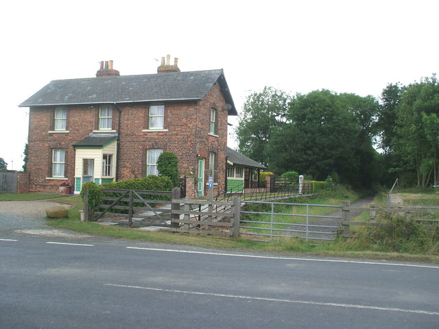
Whitedale features traditional stone cottages, a village green, and a quaint parish church that dates back to the 12th century. The village also has a small primary school, a pub, and a few shops catering to the needs of the local population.

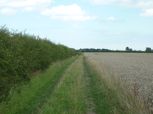
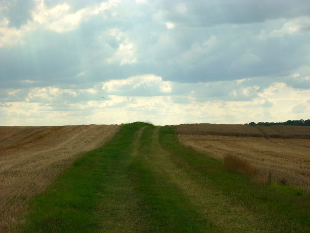
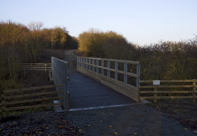
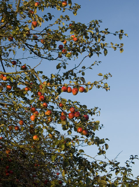
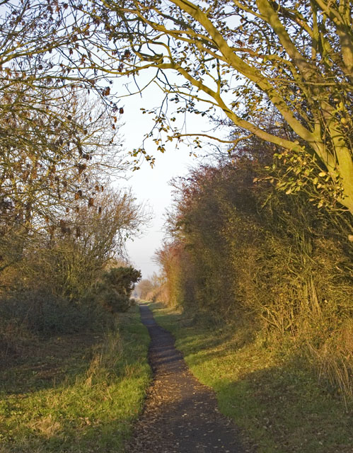
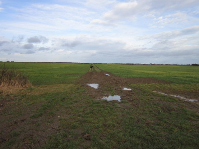
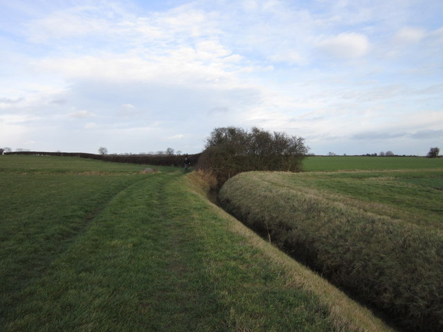
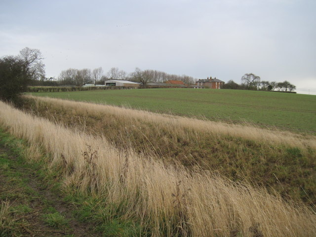
The surrounding area offers plenty of opportunities for outdoor activities such as hiking, cycling, and fishing. The nearby moors and woodlands provide a beautiful backdrop for exploring the natural beauty of the region.

Despite its rural location, Whitedale is well-connected to larger towns and cities in Yorkshire, making it a convenient place to live for those seeking a quieter pace of life. The village is known for its friendly locals, strong sense of community, and beautiful countryside, making it a desirable place to call home for residents and visitors alike.

If you have any feedback on the listing, please let us know in the comments section below.
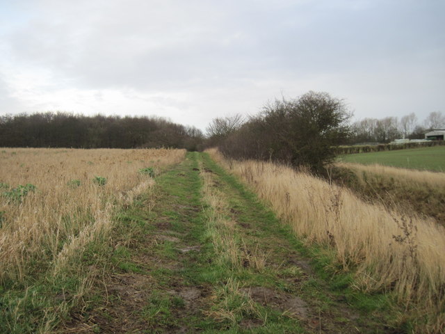
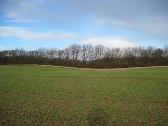
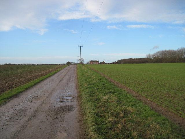
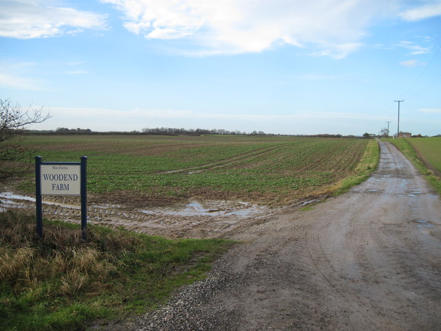
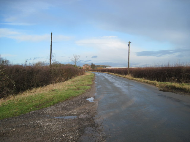
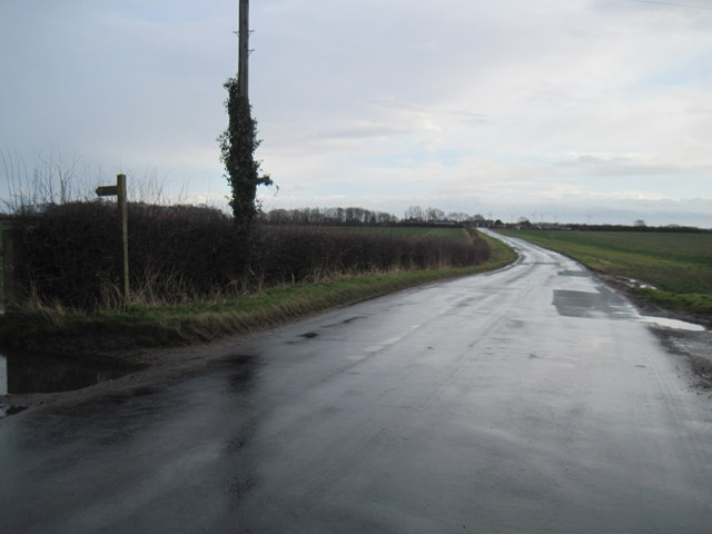
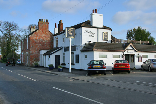
Whitedale Images

Images are sourced within 2km of 53.851136/-0.21699608 or Grid Reference TA1740. Thanks to Geograph Open Source API. All images are credited.

Wrygarth Inn, Great Hatfield A former repossessed pub is now a phoenix from the ashes: finalist East Riding Council Chairman's Award for Business, finalist Britain's Best Carvery, 5-star food safety awards, Crazy Golf Course, children's play area, bistro and village store.
Wrygarth Inn, Great Hatfield
A former repossessed pub is now a phoenix from the ashes: finalist East Riding Council Chairman's Award for Business, finalist Britain's Best Carvery, 5-star food safety awards, Crazy Golf Course, children's play area, bistro and village store.
A bridleway leading to Folly Lane (track)
Looking east towards Nortofts Hill
New footbridge, New Ellerby Recently installed to carry the Trans Pennine Trail over the Lambwath Stream (replacing <a href="https://www.geograph.org.uk/photo/2169584">TA1740 : Footbridge on the old Hull to Hornsea railway trackbed</a>). Here the trail follows the route of the old Hull to Hornsea railway.
New footbridge, New Ellerby
Recently installed to carry the Trans Pennine Trail over the Lambwath Stream (replacing TA1740 : Footbridge on the old Hull to Hornsea railway trackbed). Here the trail follows the route of the old Hull to Hornsea railway.
Whitedale Station Former station house, on the former Hull and Hornsea Railway, with both platforms still intact. Even when operational, it's hard to see how a station could have been justified in such an isolated spot, until one notices that Rise Hall is not far away, whose residents were apparently its principal customers.

It opened on 28 March 1864 and closed following the Beeching Report on 19 October 1964.
Whitedale Station
Former station house, on the former Hull and Hornsea Railway, with both platforms still intact. Even when operational, it's hard to see how a station could have been justified in such an isolated spot, until one notices that Rise Hall is not far away, whose residents were apparently its principal customers. It opened on 28 March 1864 and closed following the Beeching Report on 19 October 1964.
Apple tree by the Hornsea Rail Trail One of several such trees along the former railway line, possibly grown from a core thrown from a train, or possibly not.
Apple tree by the Hornsea Rail Trail
One of several such trees along the former railway line, possibly grown from a core thrown from a train, or possibly not.
Rail trail near Great Hatfield Part of the footpath along the course of the Hull and Hornsea Railway, this being the start of a long straight stretch between Whitedale and Great Hatfield.
Rail trail near Great Hatfield
Part of the footpath along the course of the Hull and Hornsea Railway, this being the start of a long straight stretch between Whitedale and Great Hatfield.
Farmland near Little Hatfield Fields to the west of the part of the Trans Pennine Trail that follows the former Hull and Hornsea Railway, just to the south of the former Sigglesthorne Station.
Farmland near Little Hatfield
Fields to the west of the part of the Trans Pennine Trail that follows the former Hull and Hornsea Railway, just to the south of the former Sigglesthorne Station.
Folly Lane towards, Sigglesthorne
Whitedale railway station (site), Yorkshire Opened in 1864 by the Hull & Hornsea Railway, which soon to become part of the North Eastern Railway empire, this station closed to passengers in 1964 and completely in 1965. View north towards Sigglesthorne and Hornsea.
Whitedale railway station (site), Yorkshire
Opened in 1864 by the Hull & Hornsea Railway, which soon to become part of the North Eastern Railway empire, this station closed to passengers in 1964 and completely in 1965. View north towards Sigglesthorne and Hornsea.
Wood  End  Farm  from  southwest Footpath from Skirlaugh to Cony Hill
Wood End Farm from southwest
Footpath from Skirlaugh to Cony Hill
Field  edge  track  toward  Rise  Wood Footpath to Wood End Farm which can be seen on the right.
Field edge track toward Rise Wood
Footpath to Wood End Farm which can be seen on the right.
Over  field  to  Dawson's  Belt The trees are the southeastern edge of Rise Park, taken from the farm road from Wood End Farm
Over field to Dawson's Belt
The trees are the southeastern edge of Rise Park, taken from the farm road from Wood End Farm
Farm  road  to  Wood  End  Farm
Farm road to Wood End Farm
Farm  road  to  Woodend  Farm The O/S map shows it as Wood End
Farm road to Woodend Farm
The O/S map shows it as Wood End
Lane  to  Rise Park Farm in the distance
Lane to Rise
Park Farm in the distance
Lane  to  Whitedale Bridleway to Folly Lane (track) on the left
Lane to Whitedale
Bridleway to Folly Lane (track) on the left
Show me another place!

Whitedale is located at Grid Ref: TA1740 (Lat: 53.851136, Lng: -0.21699608)

Division: East Riding

Unitary Authority: East Riding of Yorkshire

Police Authority: Humberside

What 3 Words

///making.dare.trembles. Near Burton Constable, East Yorkshire

Nearby Locations

Lambwath Wood Whitedale

Related Wikis

Whitedale railway station

Whitedale railway station was a railway station which served the villages of Rise and Withernwick in the East Riding of Yorkshire, England. It was on the...

Skirlaugh Rural District

Skirlaugh was a rural district in the East Riding of Yorkshire, England from 1894 to 1935.The district formed an area around the Hornsea urban district...

Holderness Wapentake

Holderness was a wapentake of the historic East Riding of Yorkshire, England consisting of the south-easterly part of the county. Established in medieval...

New Ellerby

New Ellerby is a hamlet in the East Riding of Yorkshire, England, in an area known as Holderness. It is situated approximately 8 miles (13 km) north-east...

Related Videos

Where the rich live in Mauritius island 🏝️

A day in my life checking out where the rich people live in the island #india #fitness #africanmusic.

RISE: East Riding of Yorkshire Parish #103 of 172

EAST RIDING OF YORKSHIRE PARISH #103: RISE Welcome to one of the smallest villages in the East Riding. This is Rise ...

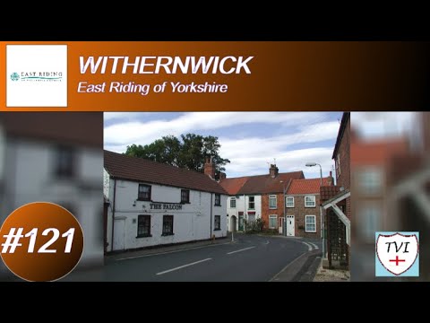
WITHERNWICK: East Riding of Yorkshire Parish #121 of 172

EAST RIDING OF YORKSHIRE PARISH #121: WITHERNWICK Welcome to Withernwick, a small village located 10 miles to the ...

Nearby Amenities

Located within 500m of 53.851136,-0.21699608
Bus Stop
Withernwick Beverley Road
Naptan AtcoCode: 2200YEA00746
Naptan Bearing: E
Naptan CommonName: Withernwick Beverley Road
Naptan Street: Beverley Road
Naptan Verified: no
Source: naptan_import
Lat/Long: 53.851349/-0.2185086
Whitedale
Abandoned Railway: station
Railway: site
Source: NPE
Wikidata: Q7995831
Wikipedia: en:Whitedale railway station
Lat/Long: 53.8516144/-0.2187771
The data included in this document is from www.openstreetmap.org. The data is made available under ODbL.

Have you been to Whitedale?

Leave your review of Whitedale below (or comments, questions and feedback).