Brook Copse
Wood, Forest in Sussex Horsham
England
Brook Copse

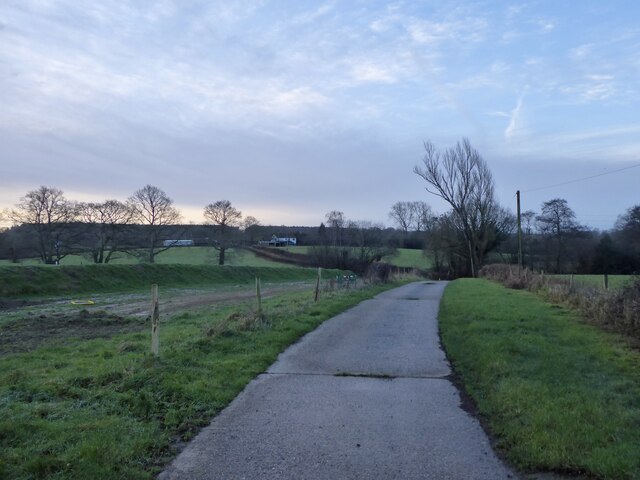
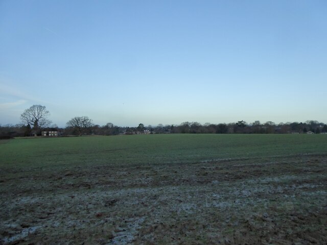
Brook Copse, located in Sussex, England, is a picturesque wood that encompasses an area of approximately 20 acres. This tranquil forest is nestled within the South Downs National Park, offering visitors a retreat from the hustle and bustle of everyday life. The copse is characterized by its dense and diverse vegetation, including a variety of mature trees, such as oak, beech, and ash.
As visitors venture into Brook Copse, they are greeted by a network of well-marked trails that wind through the woodland, providing an opportunity to explore the natural beauty of the area. The forest floor is adorned with a thick carpet of vibrant wildflowers, creating a colorful and enchanting atmosphere.
The copse is also home to a rich array of wildlife, making it a haven for nature enthusiasts. Birdwatchers can spot a plethora of species, including woodpeckers, owls, and various migratory birds. Additionally, small mammals like squirrels, badgers, and foxes can be glimpsed as they go about their daily activities.
Brook Copse offers more than just natural beauty, as it boasts a rich historical significance as well. The wood is believed to have been part of an ancient woodland, possibly dating back to the medieval period. Its history can be explored through remnants of old pathways, earthworks, and even the occasional archaeological find.
Overall, Brook Copse is a haven of tranquility and natural splendor. It provides a perfect setting for individuals seeking solace in nature, as well as those keen to immerse themselves in the history and wildlife of the Sussex countryside.
If you have any feedback on the listing, please let us know in the comments section below.
Brook Copse Images
Images are sourced within 2km of 51.041648/-0.31993918 or Grid Reference TQ1728. Thanks to Geograph Open Source API. All images are credited.


Brook Copse is located at Grid Ref: TQ1728 (Lat: 51.041648, Lng: -0.31993918)
Administrative County: West Sussex
District: Horsham
Police Authority: Sussex
What 3 Words
///crackles.elevator.remain. Near Horsham, West Sussex
Nearby Locations
Related Wikis
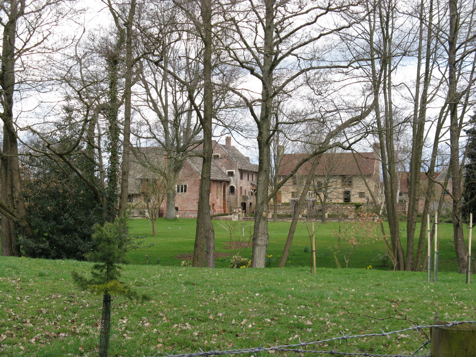
Chesworth House
Chesworth House is a former Tudor manor house, located a mile south of Horsham, West Sussex, England. The original Manor house became a farmhouse and has...

Copthorne F.C.
Copthorne Football Club is a football club based in Copthorne in West Sussex, England. They are currently members of the Southern Combination Division...

Horsham F.C.
Horsham Football Club is a non-League football club based in Horsham, West Sussex, England, currently playing in the Isthmian League Premier Division....
Haywards Heath Town F.C. Women
Haywards Heath Town F.C. Women (formerly Crawley Wasps Ladies FC) is an English women's football club, that currently plays in the FA Women's National...
Nearby Amenities
Located within 500m of 51.041648,-0.31993918Have you been to Brook Copse?
Leave your review of Brook Copse below (or comments, questions and feedback).