Hobshort's Wood

Wood, Forest in Sussex Horsham

England

Hobshort's Wood

The Weir at Hatterell Bridge
The Weir at Hatterell Bridge Credit: Andy Walkden

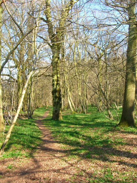
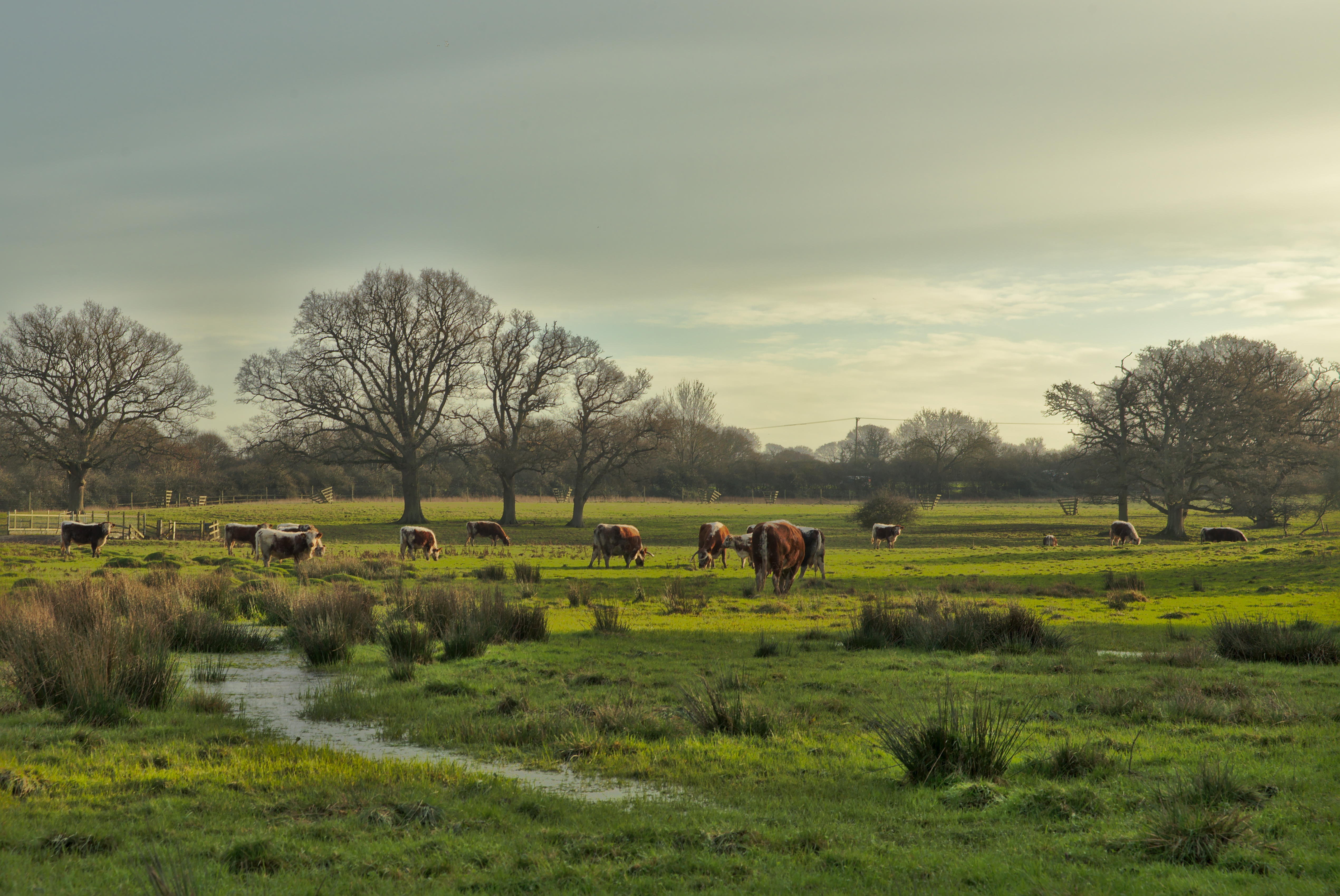
Hobshort's Wood is a picturesque forest located in the county of Sussex, England. Covering an area of approximately 500 acres, the wood is known for its rich biodiversity and natural beauty. It is a popular destination for nature enthusiasts, hikers, and birdwatchers alike.

The wood is characterized by a dense canopy of oak, beech, and ash trees, which create a serene and shady atmosphere. The forest floor is carpeted with a diverse range of plants, including bluebells, primroses, and ferns, adding a burst of color and vibrancy to the landscape.

Hobshort's Wood is home to a variety of wildlife species. Visitors may be lucky enough to spot deer, foxes, and badgers roaming freely through the trees. The forest is also a haven for birdlife, with species such as woodpeckers, owls, and various songbirds nesting and foraging in the area.

Tranquil walking trails wind their way through the wood, providing visitors with the opportunity to explore its hidden treasures. These paths lead to charming clearings, babbling brooks, and small ponds, offering idyllic spots for picnics or quiet contemplation.

The wood is managed by a local conservation organization, which ensures the preservation of its natural habitats and promotes sustainable practices. Educational programs and guided tours are also offered to promote awareness and understanding of the forest's ecological importance.

In conclusion, Hobshort's Wood is a captivating forest in Sussex, offering visitors a peaceful retreat into nature. With its diverse flora and fauna, scenic trails, and commitment to conservation, it is a place where both wildlife and humans can thrive in harmony.

If you have any feedback on the listing, please let us know in the comments section below.

Hobshort's Wood Images

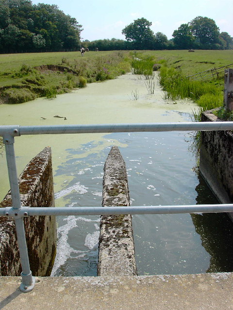
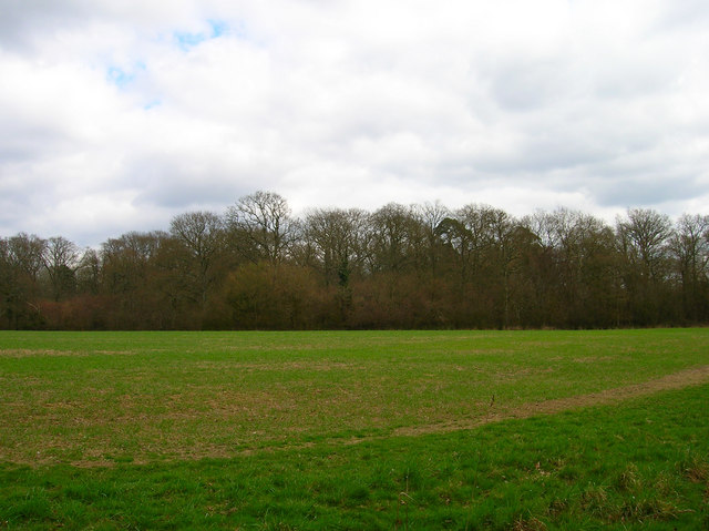
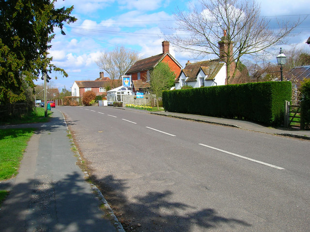
Images are sourced within 2km of 50.966071/-0.33693717 or Grid Reference TQ1619. Thanks to Geograph Open Source API. All images are credited.

The Weir at Hatterell Bridge
Pot Common Potcommon Furzefield to the left, Soil Wood to the right. Taken from the bridleway.
Pot Common
Potcommon Furzefield to the left, Soil Wood to the right. Taken from the bridleway.
Flat Dossers Known a few of them in my time! Taken from the bridleway.
Flat Dossers
Known a few of them in my time! Taken from the bridleway.
Entrance to Whitefoots Wheelie bin standing guard. This is the point where the bridleway turns shapely west.
Entrance to Whitefoots
Wheelie bin standing guard. This is the point where the bridleway turns shapely west.
Jasmine Cottage, Rookcross Lane Situated at the junction of the lane with the entrance to Rooklands Farm.
Jasmine Cottage, Rookcross Lane
Situated at the junction of the lane with the entrance to Rooklands Farm.
Worthing Road, Dial Post Hard to believe that the A24 used to thunder through this village until the 1980s. Now all is quiet and serene. Dial Post is a hamlet within the parish of West Grinstead and grew in size from the eighteenth century onwards. The in is The Crown.
Worthing Road, Dial Post
Hard to believe that the A24 used to thunder through this village until the 1980s. Now all is quiet and serene. Dial Post is a hamlet within the parish of West Grinstead and grew in size from the eighteenth century onwards. The in is The Crown.
Grinders Wood Taken from the footpath that links Thistleworth Farm with Buckells Farm.
Grinders Wood
Taken from the footpath that links Thistleworth Farm with Buckells Farm.
Partridge Green - St.Michaels Way - Fire!
Joles Farm, Partridge Green
Towards Lock Farm The Lock estate is the largest in the parish of Ashurst. Lock Farm is to the right and Old Lock House is to the left.
Towards Lock Farm
The Lock estate is the largest in the parish of Ashurst. Lock Farm is to the right and Old Lock House is to the left.
Farmland, Lock Farm To the north west of the farm buildings with Stony Copse just over the brow.
Farmland, Lock Farm
To the north west of the farm buildings with Stony Copse just over the brow.
River Adur North of Locks Bridge This is the western branch of the river as it heads towards West Grinstead.
River Adur North of Locks Bridge
This is the western branch of the river as it heads towards West Grinstead.
River Adur South of Locks Bridge This is the western branch of the Adur as it heads towards Bines Bridge.
River Adur South of Locks Bridge
This is the western branch of the Adur as it heads towards Bines Bridge.
Lloyts Farm 17th century farmhouse near Partridge Green.
Lloyts Farm
17th century farmhouse near Partridge Green.
Bridleway off the Downs Link This bridleway leaves the Downs Link near Partridge Green heading west to the River Adur and Hatterell bridge.
Bridleway off the Downs Link
This bridleway leaves the Downs Link near Partridge Green heading west to the River Adur and Hatterell bridge.
Bridleway to Hatterell bridge After dropping through Whitewick Rough (woodland) the bridleway crosses the flood plain to the river Adur and Hatterell bridge.
Bridleway to Hatterell bridge
After dropping through Whitewick Rough (woodland) the bridleway crosses the flood plain to the river Adur and Hatterell bridge.
Hatterell bridge Hatterell bridge crosses the river Adur and is now a gauging station.  Once, when the river was part of the Adur navigation, there was a drawbridge here.
For more on the Adur navigation and the Baybridge canal <span class="nowrap"><a title="http://www.sussex.co.uk/waterways/baybridge.htm" rel="nofollow ugc noopener" href="http://www.sussex.co.uk/waterways/baybridge.htm">Link</a><img style="margin-left:2px;" alt="External link" title="External link - shift click to open in new window" src="https://s1.geograph.org.uk/img/external.png" width="10" height="10"/></span> and on the river Adur <span class="nowrap"><a title="http://www.adur.org.uk/index.htm" rel="nofollow ugc noopener" href="http://www.adur.org.uk/index.htm">Link</a><img style="margin-left:2px;" alt="External link" title="External link - shift click to open in new window" src="https://s1.geograph.org.uk/img/external.png" width="10" height="10"/></span>
Hatterell bridge
Hatterell bridge crosses the river Adur and is now a gauging station. Once, when the river was part of the Adur navigation, there was a drawbridge here. For more on the Adur navigation and the Baybridge canal LinkExternal link and on the river Adur LinkExternal link
Pond at Hatterell's farm Hatterell farm has now gone and has been ploughed under (see Old Maps <span class="nowrap"><a title="http://www.old-maps.co.uk/" rel="nofollow ugc noopener" href="http://www.old-maps.co.uk/">Link</a><img style="margin-left:2px;" alt="External link" title="External link - shift click to open in new window" src="https://s1.geograph.org.uk/img/external.png" width="10" height="10"/></span> for an 1879 OS map) but its pond survives (but for how long?).
Pond at Hatterell's farm
Hatterell farm has now gone and has been ploughed under (see Old Maps LinkExternal link for an 1879 OS map) but its pond survives (but for how long?).
Show me another place!

Hobshort's Wood is located at Grid Ref: TQ1619 (Lat: 50.966071, Lng: -0.33693717)

Administrative County: West Sussex

District: Horsham

Police Authority: Sussex

What 3 Words

///dose.someone.witless. Near Partridge Green, West Sussex

Related Wikis

St George's Church, West Grinstead

St George's Church is an Anglican church in West Grinstead, West Sussex, England. It is in the Diocese of Chichester, occupying a rural position in the...

West Grinstead

West Grinstead is a village and civil parish in the Horsham District of West Sussex, England. It lies just off the B2135 road four miles (6.3 km) northwest...

Knepp Castle

The medieval Knepp Castle (sometimes referred to as 'Old Knepp Castle', to distinguish it from the nearby 19th-century mansion) is to the west of the village...

Knepp Wildland

Knepp Wildland is the first major lowland rewilding project in England. It comprises 1,400 hectares (3,500 acres) of former arable and dairy farmland in...

Nearby Amenities

Located within 500m of 50.966071,-0.33693717
Barrier: stile
Lat/Long: 50.964385/-0.3320633
Barrier: stile
Lat/Long: 50.9643366/-0.3321711
Power: pole
Lat/Long: 50.9693863/-0.3345953
Power: pole
Lat/Long: 50.9685783/-0.3343079
Power: pole
Lat/Long: 50.9677842/-0.3340205
Power: pole
Lat/Long: 50.9673113/-0.3340023
Clothalls Farm
Place: farm
Lat/Long: 50.9671796/-0.3328948
Moat
Archaeological Site: fortification
Historic: archaeological_site
Lat/Long: 50.9678547/-0.3322887
The data included in this document is from www.openstreetmap.org. The data is made available under ODbL.

Have you been to Hobshort's Wood?

Leave your review of Hobshort's Wood below (or comments, questions and feedback).