Rushett Common

Wood, Forest in Surrey

England

Rushett Common

Field south of Ashtead Woods Road
Field south of Ashtead Woods Road Credit: James Emmans

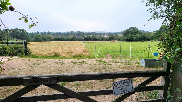
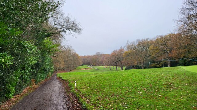
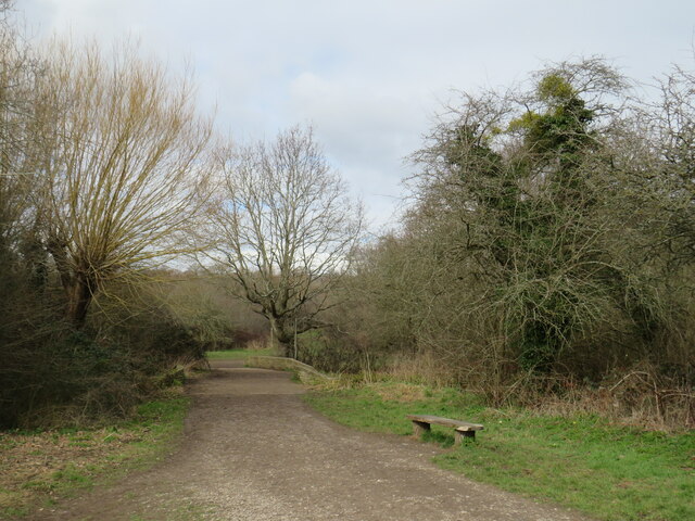
Rushett Common is a picturesque woodland located in Surrey, England. Covering an area of approximately 40 hectares, it is known for its natural beauty and diverse wildlife. The common is situated near the village of Oxshott, offering a tranquil escape from urban life.

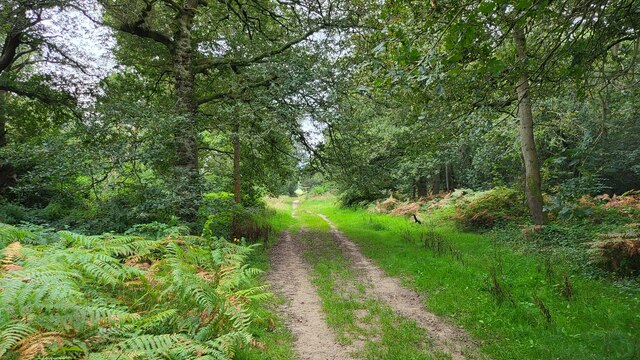
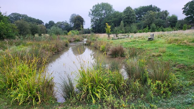
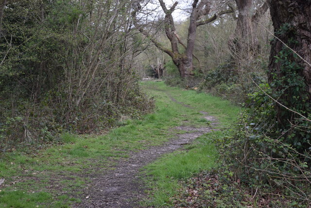
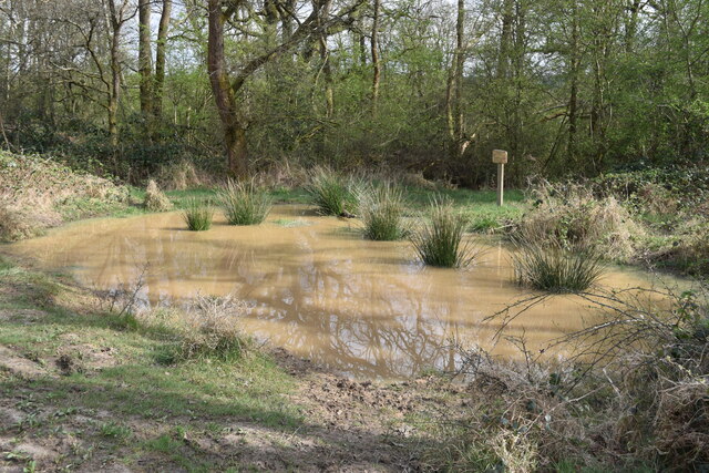
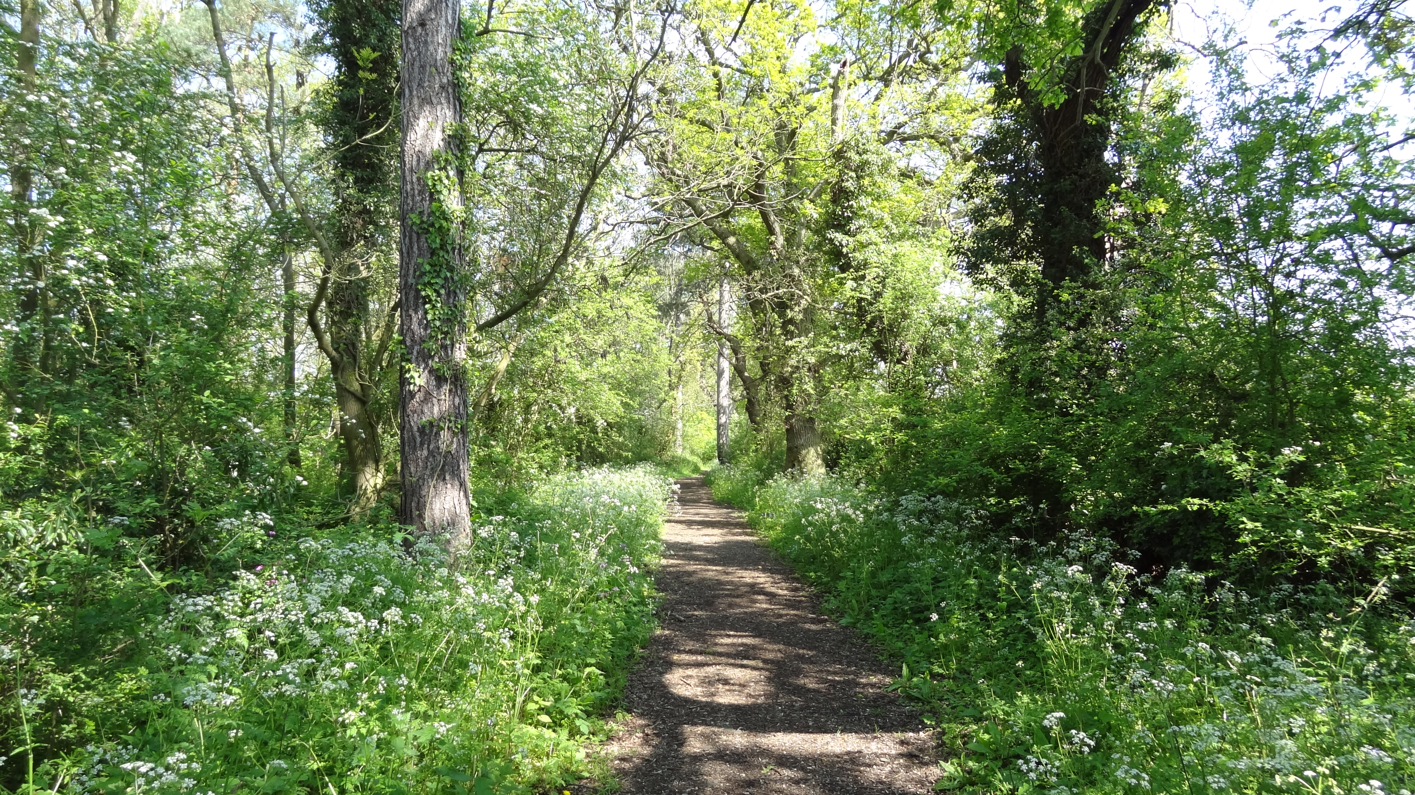
The woodland consists mainly of oak and birch trees, creating a dense forest canopy that provides shade and a habitat for various species. The forest floor is adorned with a carpet of bluebells during springtime, creating a stunning display of vibrant colors. Rushett Common is also home to a variety of native birds, including woodpeckers, nightingales, and tawny owls.

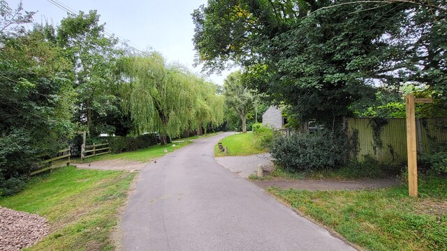
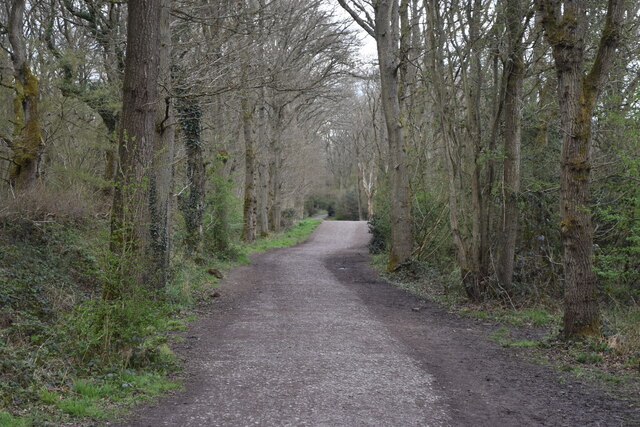
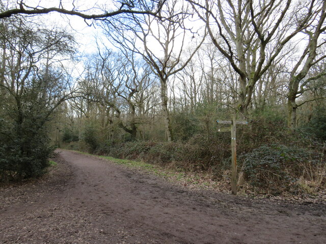
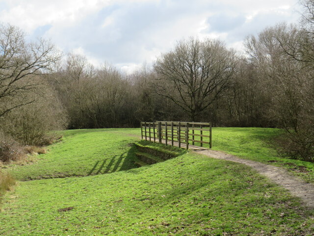
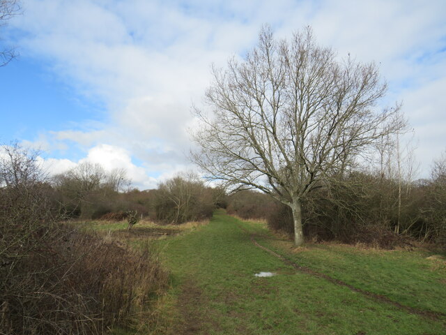
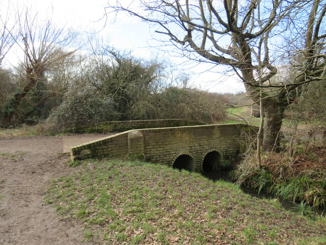
The common has a network of well-maintained footpaths, making it a popular destination for walkers, joggers, and nature enthusiasts. Visitors can enjoy leisurely strolls through the forest, breathing in the fresh air and immersing themselves in the peaceful surroundings. The rustic charm of the woodland offers a sense of tranquility and serenity.

Rushett Common is managed by the Surrey Wildlife Trust, which ensures the preservation and conservation of the natural habitat. The trust conducts regular surveys to monitor the health of the ecosystem and implements measures to protect the wildlife and flora. It also organizes educational programs and guided walks to raise awareness about the importance of biodiversity and nature conservation.

Overall, Rushett Common is a stunning woodland retreat, providing a haven for both wildlife and people seeking solace in nature's embrace. Its combination of dense forest, vibrant flora, and diverse wildlife make it a true gem in the heart of Surrey.

If you have any feedback on the listing, please let us know in the comments section below.

Rushett Common Images

Images are sourced within 2km of 51.331683/-0.32372909 or Grid Reference TQ1660. Thanks to Geograph Open Source API. All images are credited.

Field south of Ashtead Woods Road
Woodland track on Ashtead Common 495 acres common and national nature reserve, owned and run by the City of London Corporation. SSSI status due to rear invertebrates and an important breeding area for birds
Woodland track on Ashtead Common
495 acres common and national nature reserve, owned and run by the City of London Corporation. SSSI status due to rear invertebrates and an important breeding area for birds
Footpath crossing Ashstead Woods Road
Rye Meadows Wetlands Managed area next to the Rye Brook to improve wildlife and reduce flooding.

<span class="nowrap"><a title="https://www.ryemeadows.org.uk/" rel="nofollow ugc noopener" href="https://www.ryemeadows.org.uk/">Link</a><img style="margin-left:2px;" alt="External link" title="External link - shift click to open in new window" src="https://s1.geograph.org.uk/img/external.png" width="10" height="10"/></span>
Rye Meadows Wetlands
Managed area next to the Rye Brook to improve wildlife and reduce flooding. LinkExternal link
The Leatherhead Golf Club The golf club is on the parkland of Pachesham Manor.
The Leatherhead Golf Club
The golf club is on the parkland of Pachesham Manor.
Path into woodland, on Ashtead Common
Very muddy path on Ashtead Common
Shaun's Puddle A small pond created in 2016 to aid with drainage of a very muddy area.
Shaun's Puddle
A small pond created in 2016 to aid with drainage of a very muddy area.
Cycle route along the edge of Newton Wood
Path near Ashtead A path leading onto Ashtead Common, in Surrey.

This image was taken during the month of February.  Trees were bare for the winter season.
Path near Ashtead
A path leading onto Ashtead Common, in Surrey. This image was taken during the month of February. Trees were bare for the winter season.
Path over The Rye Brook on Ashtead Common A path on Ashtead Common, crossing The Rye Brook, which flows beneath through a duct.

This image was taken during the month of February.  Trees were bare for the winter season.
Path over The Rye Brook on Ashtead Common
A path on Ashtead Common, crossing The Rye Brook, which flows beneath through a duct. This image was taken during the month of February. Trees were bare for the winter season.
Path on Ashtead Common A path on Ashtead Common in Surrey.  The path is a public bridleway.

This image was taken in the month of February.  Trees were bare for the winter season.
Path on Ashtead Common
A path on Ashtead Common in Surrey. The path is a public bridleway. This image was taken in the month of February. Trees were bare for the winter season.
Bridge over The Rye Brook, Ashtead Common A bridge taking a bridleway over The Rye Brook on Ashtead Common, in Surrey.

This image was taken in the month of February.  Trees were bare for the winter season.
Bridge over The Rye Brook, Ashtead Common
A bridge taking a bridleway over The Rye Brook on Ashtead Common, in Surrey. This image was taken in the month of February. Trees were bare for the winter season.
Track onto Ashtead Common A track leading onto Ashtead Common in Surrey.  The track is a public right of way as a bridleway.

This image was taken in the month of February.  Trees were bare for the winter season.
Track onto Ashtead Common
A track leading onto Ashtead Common in Surrey. The track is a public right of way as a bridleway. This image was taken in the month of February. Trees were bare for the winter season.
Level crossing at Ashtead A level crossing at Ashtead in Surrey.  Cars and pedestrians wait as a train passes through.

This image was taken in the month of February.  Trees were bare for the winter season.
Level crossing at Ashtead
A level crossing at Ashtead in Surrey. Cars and pedestrians wait as a train passes through. This image was taken in the month of February. Trees were bare for the winter season.
Woodfield Lane, Ashtead Woodfield Lane is a residential road in the village of Ashtead in Surrey.
Woodfield Lane, Ashtead
Woodfield Lane is a residential road in the village of Ashtead in Surrey.
Level crossing at Ashtead A level crossing taking a railway across the road in the village of Ashtead in Surrey.

This image was taken in the month of February.  Trees were bare for the winter season.
Level crossing at Ashtead
A level crossing taking a railway across the road in the village of Ashtead in Surrey. This image was taken in the month of February. Trees were bare for the winter season.
Overdale, Ashtead Overdale is a residential road in the village of Ashtead in Surrey.
Overdale, Ashtead
Overdale is a residential road in the village of Ashtead in Surrey.
Show me another place!

Rushett Common is located at Grid Ref: TQ1660 (Lat: 51.331683, Lng: -0.32372909)

Unitary Authority: Kingston upon Thames

Police Authority: Metropolitan

What 3 Words

///boat.orange.branch. Near Ashtead, Surrey

Related Wikis

Malden Rushett

Malden Rushett is a small village in the Royal Borough of Kingston upon Thames, London. It is located at the southernmost tip of the Royal Borough, surrounded...

Prince's Coverts

Prince's Coverts is an area of 864 acres (3.50 km2; 1.350 sq mi) of managed woodland in Oxshott, Surrey, England, to which there is public access. It is...

Ashtead Common

Ashtead Common, nearly 495 acres (c. 200 ha), is a wooded area open to the public, to the north of the village of Ashtead in Surrey, England. It is owned...

Epsom and Ashtead Commons

Epsom and Ashtead Commons are a 360.4-hectare (891-acre) biological Site of Special Scientific Interest on the outskirts of Epsom and Ashtead in Surrey...

Jubilee Wood, Malden Rushett

Jubilee Wood is located in Malden Rushett in the Royal Borough of Kingston upon Thames in London. It is divided into two parts, separated by an electricity...
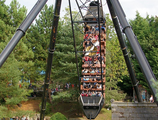
Black Buccaneer

Black Buccaneer was a swinging pirate ship that operated at Chessington World of Adventures Resort in southwest London, England from 1988 to 2018 in the...
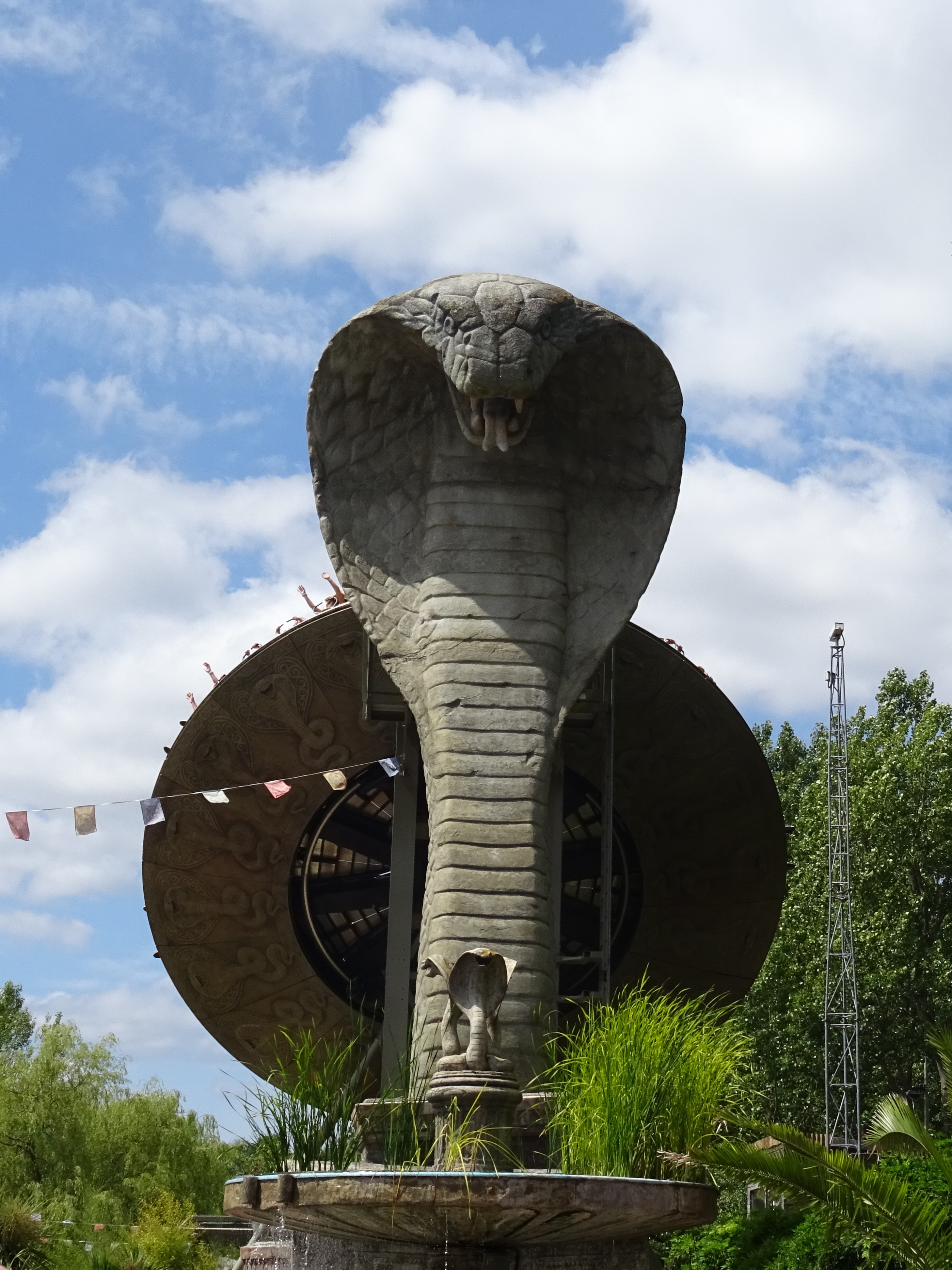
Kobra (ride)

Kobra is a Zamperla Mega Disk’O Coaster which opened in 2010 at Chessington World of Adventures Resort in southwest London, England. As of May 2021, the...

Vampire (roller coaster)

Vampire (originally named The Vampire) is an Arrow suspended swinging roller coaster at Chessington World of Adventures theme park in London, England....

Nearby Amenities

Located within 500m of 51.331683,-0.32372909
Power: tower
Lat/Long: 51.3332536/-0.3287959
Power: tower
Lat/Long: 51.3305149/-0.3287607
Power: tower
Lat/Long: 51.3288953/-0.3288037
Telegraph Hill
Natural: peak
Source: npe
Lat/Long: 51.3302153/-0.3275893
Man Made: survey_point
Source: npe
Lat/Long: 51.3300111/-0.3270277
Man Made: mast
Lat/Long: 51.3297747/-0.3276582
Crossing
Lat/Long: 51.3358056/-0.3209769
The data included in this document is from www.openstreetmap.org. The data is made available under ODbL.

Have you been to Rushett Common?

Leave your review of Rushett Common below (or comments, questions and feedback).