Ellenhall

Settlement in Staffordshire Stafford

England

Ellenhall

Old entrance to Abbey House, Ranton The lodge remains.
Old entrance to Abbey House, Ranton Credit: Jeremy Bolwell

Ellenhall is a small village located in the county of Staffordshire, England. Situated approximately 8 miles north-west of the county town of Stafford, it is nestled in the tranquil countryside of the West Midlands region.

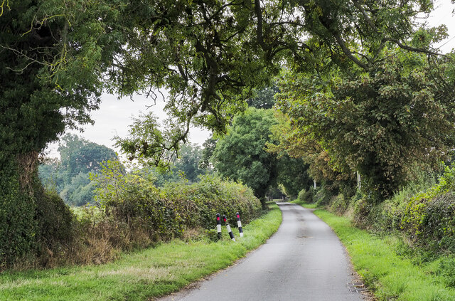
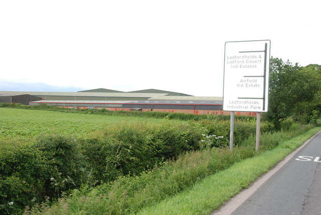
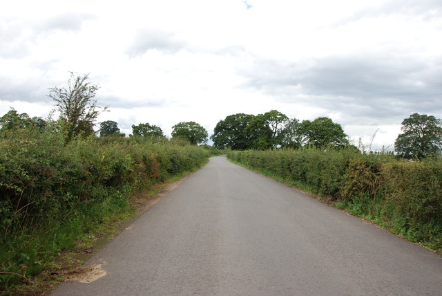
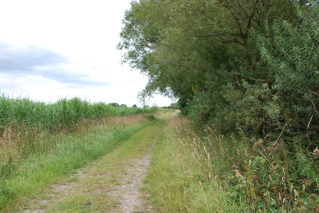
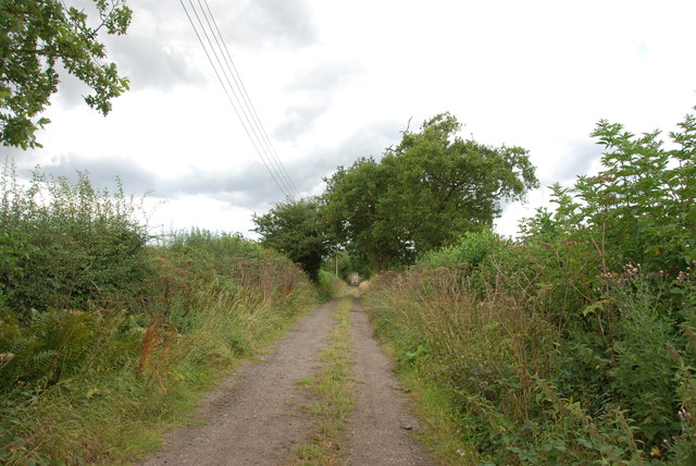
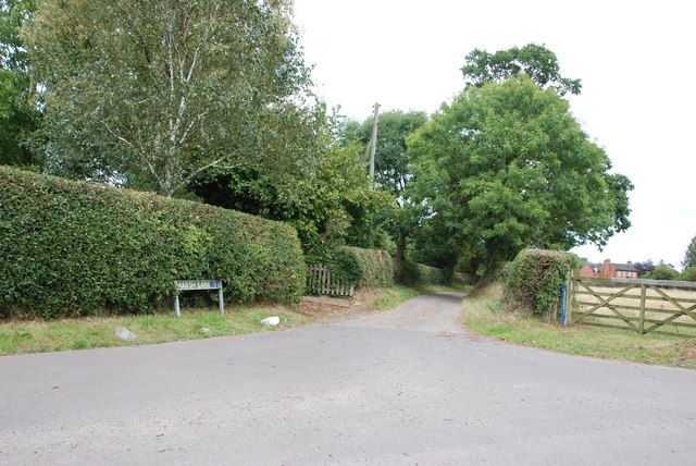
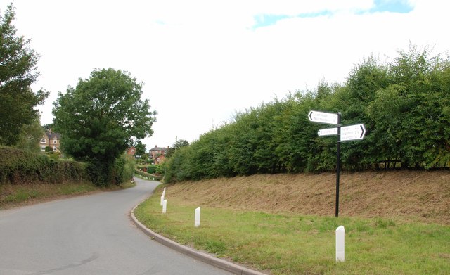
With a population of around 200 residents, Ellenhall maintains a close-knit community atmosphere. The village is characterized by its picturesque and idyllic surroundings, boasting rolling green fields, charming country lanes, and historic buildings. The area is known for its agricultural heritage, with many farms dotting the landscape.

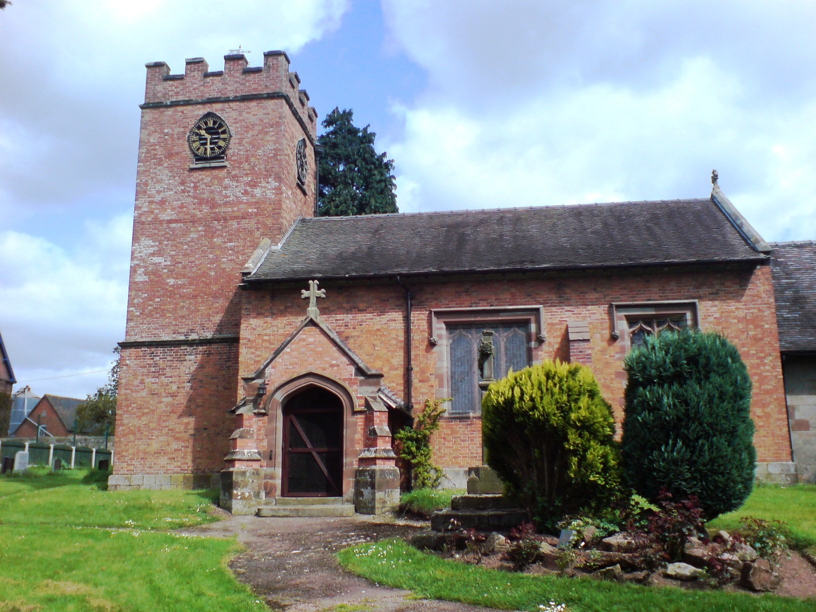
Ellenhall is home to the Grade I listed St. Mary's Church, a beautiful medieval building dating back to the 12th century. The church's stunning architecture and rich historical significance make it a popular attraction for visitors interested in local heritage.

While the village itself does not have many amenities, nearby Stafford offers a wider range of facilities including shops, supermarkets, and schools. Ellenhall benefits from its rural location, providing residents with a peaceful and serene environment away from the hustle and bustle of urban life.

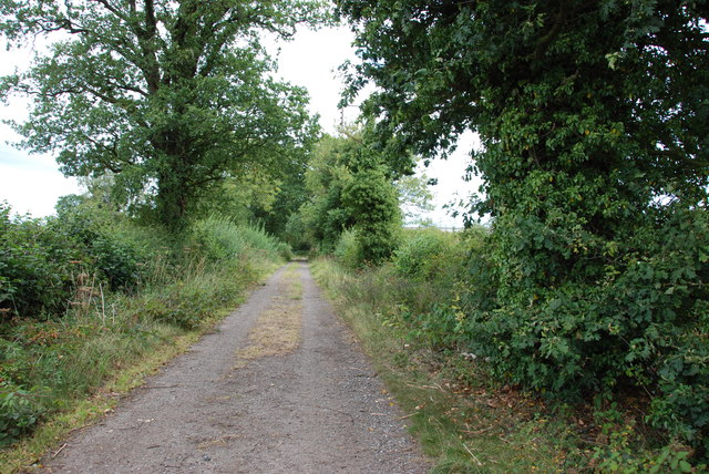
The village is also within close proximity to several areas of natural beauty, such as Cannock Chase and the Shropshire Hills, making it an ideal base for outdoor enthusiasts. Walking, cycling, and horse riding routes can be found in the surrounding countryside, offering opportunities to explore the stunning landscapes.

In summary, Ellenhall is a charming village in Staffordshire, renowned for its rural beauty, historic church, and strong community spirit. It offers a peaceful and picturesque setting, making it a desirable place to reside or visit.

If you have any feedback on the listing, please let us know in the comments section below.
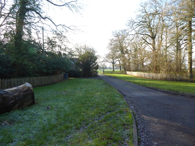
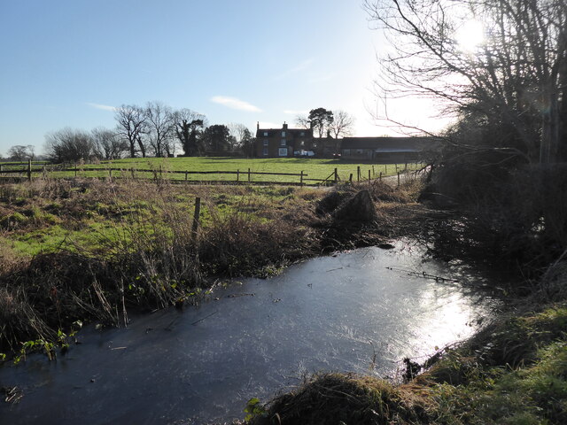
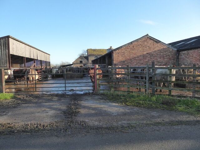
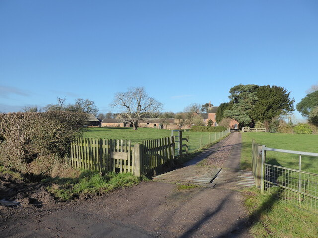
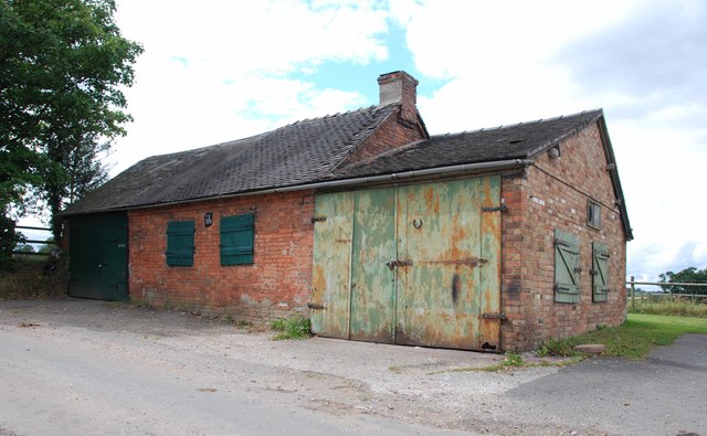
Ellenhall Images

Images are sourced within 2km of 52.833667/-2.235404 or Grid Reference SJ8426. Thanks to Geograph Open Source API. All images are credited.

Old entrance to Abbey House, Ranton The lodge remains.
Old entrance to Abbey House, Ranton
The lodge remains.
Frozen culvert near Ranton Hall farm I love and relish wintry walks. They are sometimes too rare. Even a drainage ditch is rendered an excess of grace and beauty after a frosty morning.
Frozen culvert near Ranton Hall farm
I love and relish wintry walks. They are sometimes too rare. Even a drainage ditch is rendered an excess of grace and beauty after a frosty morning.
Beef cattle at Ranton Hall farm These happy, healthy looking beef cattle are enjoying life at Ranton Hall farm.
Beef cattle at Ranton Hall farm
These happy, healthy looking beef cattle are enjoying life at Ranton Hall farm.
Ranton Hall farm Nice place. Remnant of a moat way back there somewhere too.
Ranton Hall farm
Nice place. Remnant of a moat way back there somewhere too.
Milepost beside A519 south of Eccleshall Despite its look of antiquity the milepost cast presumably in iron, was made as recently as 2008. In addition to the various locations and distances given on its two faces, the top has the wording, Eccleshall Parish.
Milepost beside A519 south of Eccleshall
Despite its look of antiquity the milepost cast presumably in iron, was made as recently as 2008. In addition to the various locations and distances given on its two faces, the top has the wording, Eccleshall Parish.
Road towards Ellenhall Park Farm The farm is a short distance along the minor road, hidden by the density of trees lining it.
Road towards Ellenhall Park Farm
The farm is a short distance along the minor road, hidden by the density of trees lining it.
Bridlepath to the Ruins of Ranton Abbey The Earls of Lichfield, who owned the 300-acre estate, left it to decay after  Dutch troops stationed there, accidentally set it alight in 1942
Bridlepath to the Ruins of Ranton Abbey
The Earls of Lichfield, who owned the 300-acre estate, left it to decay after Dutch troops stationed there, accidentally set it alight in 1942
Drive up to Woodland View Cottage
B5405 near to Seighford RAF Base
Broadheath to Ellenhall Road
Overgrown Ditch and Pastureland
Narrow Track This track goes around the old Seighford airbase.
Narrow Track
This track goes around the old Seighford airbase.
Track to Nowhere There is a field of Reeds growing on the left hand side of this track.
Track to Nowhere
There is a field of Reeds growing on the left hand side of this track.
Looking back to Broadheath
Entrance to Marsh Lane, Ellenhall
Crossroads, Ellenhall Looking towards Ellenhall Hall.
Crossroads, Ellenhall
Looking towards Ellenhall Hall.
Old Building, Ellenhall This building looks as if it may have been a blacksmith's shop at one time.
Old Building, Ellenhall
This building looks as if it may have been a blacksmith's shop at one time.
Across Pasture to Herd of Cows Taken from the Ellenhall to Whitley Heath road.
Across Pasture to Herd of Cows
Taken from the Ellenhall to Whitley Heath road.
Show me another place!

Ellenhall is located at Grid Ref: SJ8426 (Lat: 52.833667, Lng: -2.235404)

Administrative County: Staffordshire

District: Stafford

Police Authority: Staffordshire

What 3 Words

///rant.pesky.heightens. Near Eccleshall, Staffordshire

Related Wikis

Ellenhall

Ellenhall is a small Staffordshire village roughly 2.5 miles south of Eccleshall originally comprising part of the extensive estates of the Earl of Lichfield...
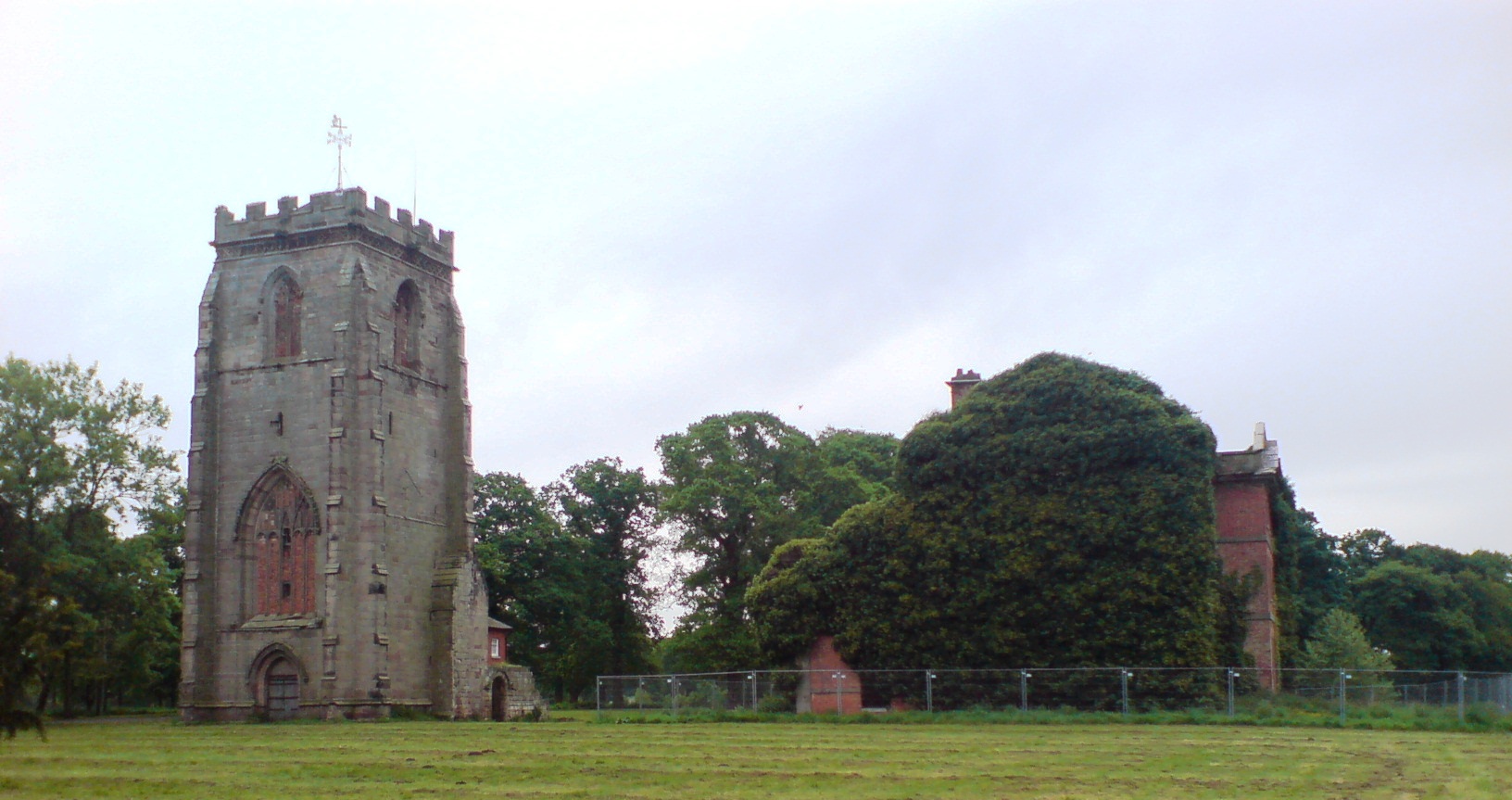
Ranton Abbey

Ranton Abbey or Ranton Priory was an Augustinian Priory in Ranton, Staffordshire, England, built c.1150 by Robert fitz Noel of Ellenhall. The priory flourished...

Abbey House, Ranton

Abbey House is an early 19th-century ruined stately home in Ranton, Staffordshire, England. == History == The red-brick Regency house was built in 1820...

Walton Hall Academy

Walton Hall Academy (formerly Walton Hall Community Special School) is a mixed special school of approximately 150 pupils. The school is based in Eccleshall...

Eagle House, Eccleshall

Eagle House is a Grade II listed building in the Staffordshire town of Eccleshall, England, which is currently an award winning bed and breakfast. ��2...

Chebsey

Chebsey is a small village in Staffordshire 2.5 miles southeast of Eccleshall on a confluence of Eccleshall water and the River Sow some 5 miles northwest...

Eccleshall

Eccleshall () is a town and civil parish in the Stafford district, in the county of Staffordshire, England. It is located seven miles northwest of Stafford...

Ranton, Staffordshire

Ranton is a small hamlet in Staffordshire, England, situated 3.5 miles (5.6 km) west of Stafford, 2.5 miles (4.0 km) east of Woodseaves and 2 miles (3...

Nearby Amenities

Located within 500m of 52.833667,-2.235404
Bus Stop
Parish Room
Bus: yes
Naptan AtcoCode: 3800C792300
Naptan Bearing: SE
Naptan CommonName: Parish Room
Naptan Indicator: Adj
Naptan Landmark: Parish Room
Naptan Street: Grange Close
Naptan Verified: no
Public Transport: platform
Source: naptan_import
Lat/Long: 52.8329405/-2.2333857
Bus Stop
Church
Bus: yes
Naptan AtcoCode: 3800C703200
Naptan Bearing: N
Naptan CommonName: Church
Naptan Indicator: Adj
Naptan Landmark: St Mary's Church
Naptan Street: Main Rd
Naptan Verified: no
Public Transport: platform
Source: naptan_import
Lat/Long: 52.8365089/-2.2361364
The data included in this document is from www.openstreetmap.org. The data is made available under ODbL.

Have you been to Ellenhall?

Leave your review of Ellenhall below (or comments, questions and feedback).