Ellen's Green
Settlement in Surrey Waverley
England
Ellen's Green
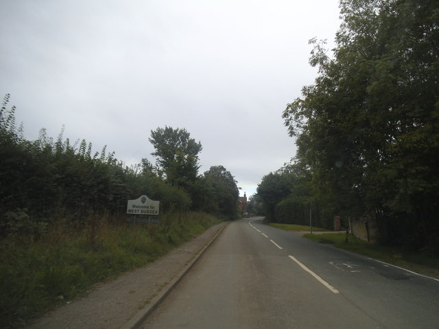
Ellen's Green is a picturesque village located in the county of Surrey, England. Situated in the heart of the Surrey Hills, it is surrounded by rolling green fields, woodlands, and charming countryside. The village is part of the larger civil parish of Rudgwick and lies approximately 12 miles south of Guildford.
Despite its small size, Ellen's Green offers a tranquil and idyllic setting for residents and visitors alike. The village is characterized by traditional English cottages, many of which date back to the 18th and 19th centuries, adding to its overall charm. The community is tight-knit, with a friendly atmosphere that welcomes newcomers.
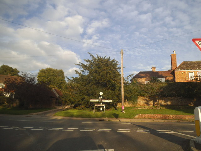
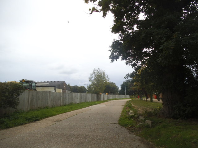
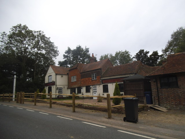
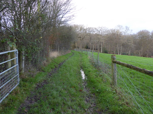
Ellen's Green benefits from its proximity to several notable attractions and amenities. The nearby village of Rudgwick offers a range of local shops, pubs, and services, ensuring residents have access to everyday necessities. For those seeking outdoor activities, there are numerous walking and cycling trails in the surrounding countryside, providing opportunities to explore the natural beauty of the area.
Transportation links are convenient, with the A281 road passing close to the village, connecting it to nearby towns and cities. Additionally, the village is served by regular bus services, making it easily accessible for both residents and visitors.
Overall, Ellen's Green is a charming village that offers a peaceful and scenic setting, making it an ideal place for those looking for a tranquil countryside retreat within close proximity to amenities and attractions.
If you have any feedback on the listing, please let us know in the comments section below.
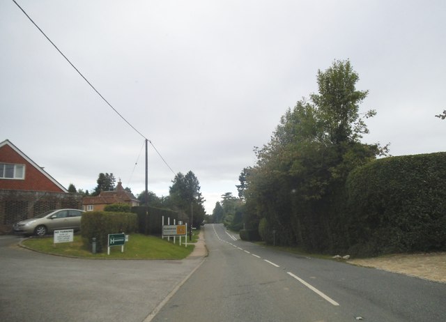
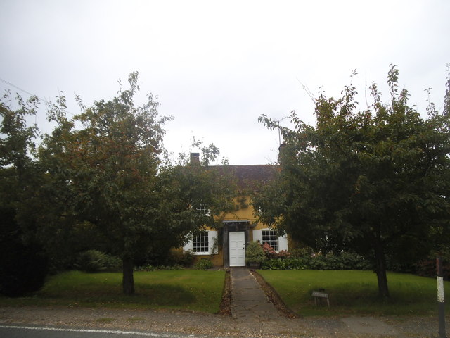
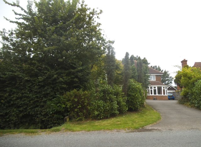
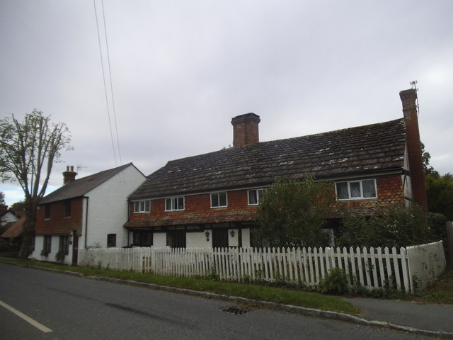
Ellen's Green Images
Images are sourced within 2km of 51.107712/-0.427955 or Grid Reference TQ1035. Thanks to Geograph Open Source API. All images are credited.


Ellen's Green is located at Grid Ref: TQ1035 (Lat: 51.107712, Lng: -0.427955)
Administrative County: Surrey
District: Waverley
Police Authority: Surrey
What 3 Words
///paused.cringes.reminder. Near Rudgwick, West Sussex
Nearby Locations
Related Wikis

High Weald AONB
The High Weald Area of Outstanding Natural Beauty is in south-east England. Covering an area of 1,450 square kilometres (560 sq mi), it takes up parts...

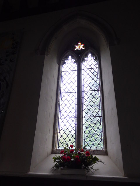
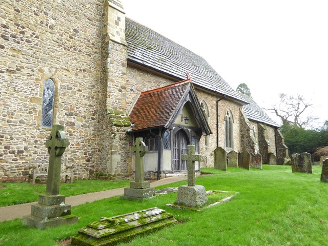
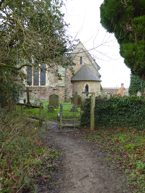
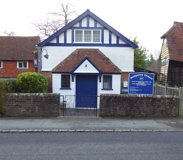
Holy Trinity Church, Rudgwick
Holy Trinity Church is the Anglican parish church of Rudgwick, a village in the Horsham district of West Sussex, England. The oldest part of the church...

Rudgwick
Rudgwick is a village and civil parish in the Horsham District of West Sussex, England. The village is 6 miles (10 km) west from Horsham on the north...

Smokejack Clay Pit
Smokejack Clay Pit is a 56-hectare (140-acre) geological Site of Special Scientific Interest east of Cranleigh in Surrey. It is a Geological Conservation...

Baynards Park
Baynards Park is a 2,000 acres (810 ha) estate and site of a demolished country house with extant outbuildings, privately owned, in the south of the parishes...

Baynards railway station
Baynards was a railway station on the Cranleigh Line, between Guildford, Surrey, and Horsham, West Sussex, England. The station opened with the line on...
Rudgwick railway station
Rudgwick railway station was on the Cranleigh Line. It served the village of Rudgwick in West Sussex until June, 1965. == History == Rudgwick station opened...
Longhurst Lodge
Longhurst Lodge is a Grade II listed building in Cranleigh, Surrey, England. It is located on the former Baynards Park estate, about a quarter of a mile...
Nearby Amenities
Located within 500m of 51.107712,-0.427955Have you been to Ellen's Green?
Leave your review of Ellen's Green below (or comments, questions and feedback).