Old Wood
Wood, Forest in Lincolnshire North Kesteven
England
Old Wood

Old Wood is a small village located in the county of Lincolnshire, England. It lies within the district of North Kesteven and is situated about 8 miles south of the city of Lincoln. The village is surrounded by beautiful woodland, giving it its name and providing a peaceful and serene environment for its residents.
Woodland covers a significant portion of Old Wood, contributing to its rustic charm and natural appeal. The forested areas are home to a variety of tree species, including oak, ash, and beech trees, creating a diverse and visually pleasing landscape. The village is also abundant in wildlife, with many species of birds, mammals, and insects thriving in its woodland habitat.
Old Wood is a close-knit community, with a small population of around 300 residents. The village is known for its strong sense of community spirit, with various local events and activities bringing residents together throughout the year. These include village fairs, sports tournaments, and community clean-up initiatives.
Despite its rural setting, Old Wood benefits from good transport links. The nearby A15 road provides easy access to Lincoln and other major towns in the area. The village also has a primary school, a village hall, and a local pub, catering to the needs of its residents.
Old Wood is a picturesque and tranquil village, offering its residents a peaceful and idyllic lifestyle amidst the beauty of nature. Its rich woodland and strong community spirit make it a truly special place to live.
If you have any feedback on the listing, please let us know in the comments section below.
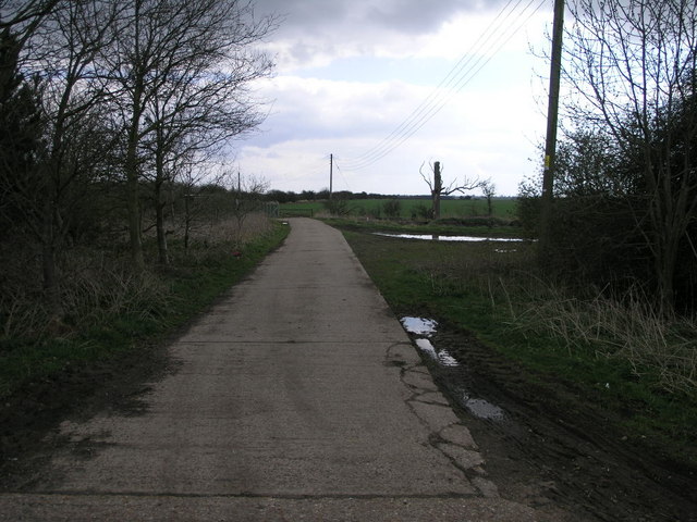
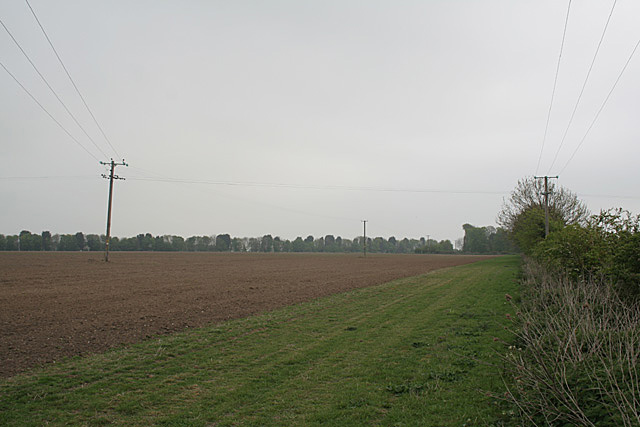
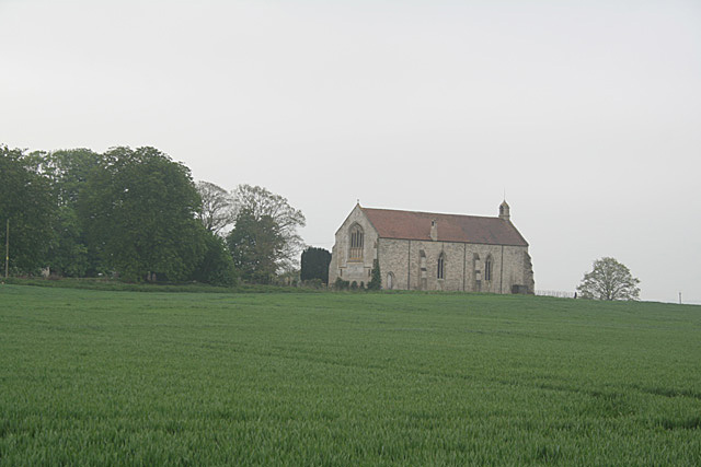
Old Wood Images
Images are sourced within 2km of 53.036812/-0.26647992 or Grid Reference TF1650. Thanks to Geograph Open Source API. All images are credited.


Old Wood is located at Grid Ref: TF1650 (Lat: 53.036812, Lng: -0.26647992)
Administrative County: Lincolnshire
District: North Kesteven
Police Authority: Lincolnshire
What 3 Words
///financial.snatched.alright. Near Billinghay, Lincolnshire
Nearby Locations
Related Wikis
Kyme Priory
Kyme Priory was a priory in South Kyme, Lincolnshire, England. What remains of the buildings are now part of Saint Mary and All Saints Church. The Augustinian...

South Kyme
South Kyme is a small village and civil parish in the North Kesteven district of Lincolnshire, England. The population of the civil parish at the 2011...

Car Dyke
The Car Dyke was, and to a large extent still is, a long ditch which runs along the western edge of the Fens in eastern England for a distance of over...

North Kyme
North Kyme is a village and civil parish in the North Kesteven district of Lincolnshire, England. The civil parish had a population of 431 at the 2011...
Nearby Amenities
Located within 500m of 53.036812,-0.26647992Have you been to Old Wood?
Leave your review of Old Wood below (or comments, questions and feedback).