Cricket Ground Clump
Wood, Forest in Sussex Horsham
England
Cricket Ground Clump

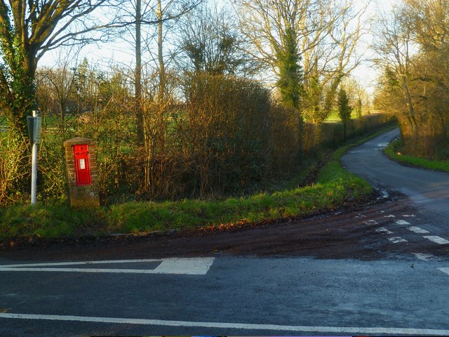
Cricket Ground Clump is a picturesque woodland area located in Sussex, England. Situated near the village of Forest, this woodland attracts visitors throughout the year due to its natural beauty and historical significance.
Covering an area of approximately 20 acres, Cricket Ground Clump is predominantly made up of native deciduous trees, including oak, beech, and ash. The woodland's name is derived from its close proximity to a former cricket ground that was once located in the area.
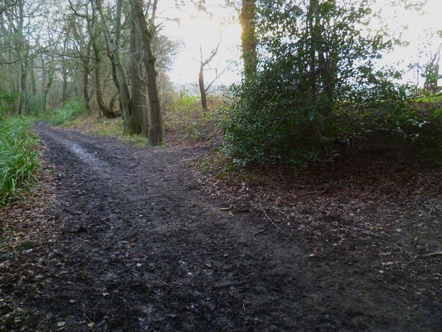
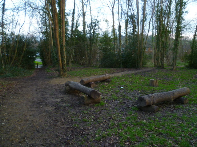
The woodland is a haven for wildlife, with a diverse range of species calling it home. Visitors can spot various birds, such as woodpeckers and songbirds, as well as mammals like foxes, squirrels, and deer. The woodland floor is also home to a variety of wildflowers, creating a vibrant and colorful display during the spring and summer months.
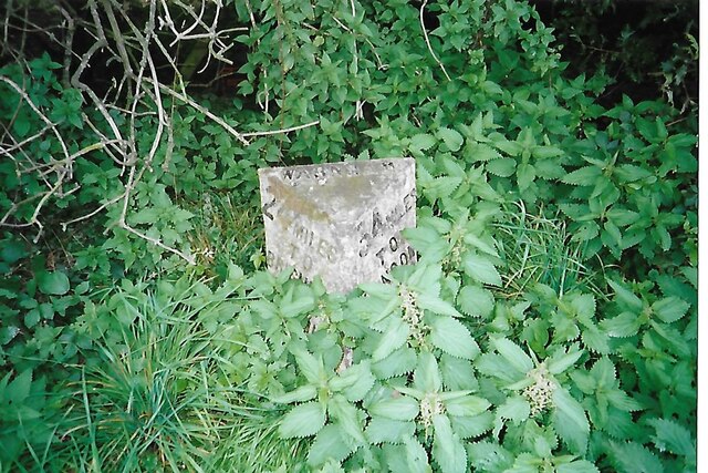
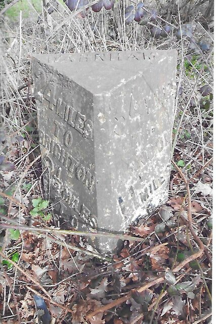
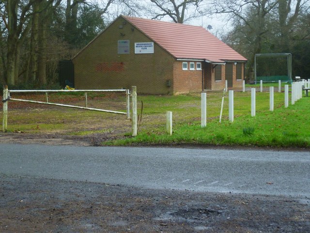
Cricket Ground Clump is not only known for its natural beauty but also for its historical significance. It is believed to have been used as a meeting place for local cricket matches in the 19th century, hence its name. The remnants of the former cricket ground can still be seen, including the outline of the pitch and the boundary markers.
Today, the woodland provides an idyllic setting for leisurely walks, picnics, and nature appreciation. It is a popular destination for families, hikers, and nature enthusiasts alike, offering a tranquil escape from the hustle and bustle of everyday life.
In conclusion, Cricket Ground Clump in Sussex is a charming woodland area that captivates visitors with its natural beauty and rich history.
If you have any feedback on the listing, please let us know in the comments section below.
Cricket Ground Clump Images
Images are sourced within 2km of 51.085232/-0.34037768 or Grid Reference TQ1633. Thanks to Geograph Open Source API. All images are credited.


Cricket Ground Clump is located at Grid Ref: TQ1633 (Lat: 51.085232, Lng: -0.34037768)
Administrative County: West Sussex
District: Horsham
Police Authority: Sussex
What 3 Words
///stance.them.irony. Near Warnham, West Sussex
Nearby Locations
Related Wikis

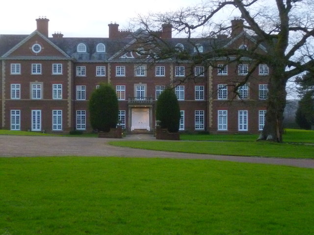
E. Tredcroft's Ground
E. Tredcroft's Ground was a cricket ground at the Warnham Court estate, located at Horsham, Sussex. The first recorded match on the ground was in 1851...

Warnham LNR
Warnham LNR is a 38.4-hectare (95-acre) Local Nature Reserve in Horsham in West Sussex. It is owned and managed by Horsham District Council.The principal...

Warnham
Warnham is a village and civil parish in the Horsham district of West Sussex, England. The village is centred 2 miles (3.2 km) north-northwest of Horsham...

Warnham railway station
Warnham railway station serves the village of Warnham in West Sussex, England. It is 33 miles 46 chains (54.0 km) measured from London Waterloo (although...
Nearby Amenities
Located within 500m of 51.085232,-0.34037768Have you been to Cricket Ground Clump?
Leave your review of Cricket Ground Clump below (or comments, questions and feedback).