Coppingford Spinney

Wood, Forest in Huntingdonshire Huntingdonshire

England

Coppingford Spinney

St Margaret, Upton
St Margaret, Upton Credit: Ben Keating

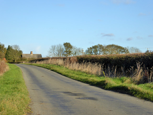
Coppingford Spinney is a small woodland area located in the county of Huntingdonshire, England. Nestled amidst the picturesque countryside, this enchanting forest covers an area of approximately five hectares. It is situated near the village of Coppingford, which lies about four miles northwest of the town of Huntingdon.

The Spinney is predominantly composed of deciduous trees, including oak, ash, and beech, which create a lush and vibrant canopy during the warmer months. These trees provide a haven for a wide variety of bird species, making it a popular spot for birdwatchers and nature enthusiasts.

The woodland floor is adorned with an array of wildflowers and ferns, adding to the beauty and diversity of the area. Several winding footpaths traverse the Spinney, allowing visitors to explore its serenity and observe the local flora and fauna up close.

Coppingford Spinney is also home to numerous species of mammals, such as deer, foxes, and badgers, which can often be spotted during dawn or dusk. The forest provides a vital habitat for these animals, offering shelter and sustenance.

Due to its relatively small size, Coppingford Spinney offers a peaceful and tranquil setting for those seeking solitude or a peaceful escape from the hustle and bustle of daily life. It is a cherished local gem that attracts both locals and tourists alike, providing a sanctuary for nature lovers and a glimpse into the natural beauty of Huntingdonshire.

If you have any feedback on the listing, please let us know in the comments section below.

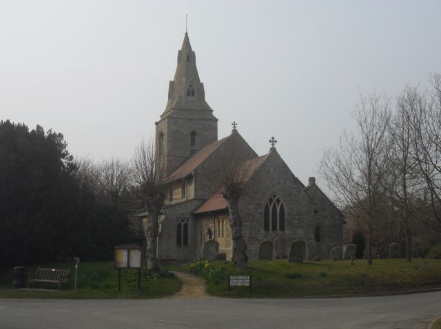
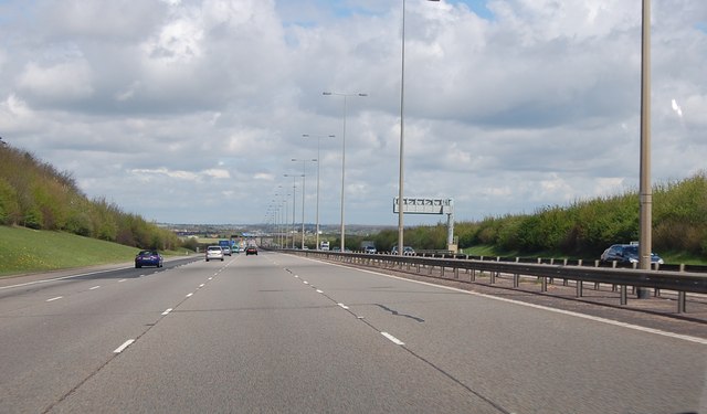
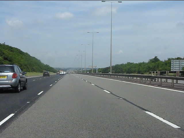
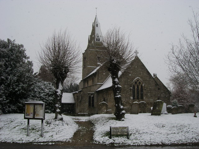
Coppingford Spinney Images

Images are sourced within 2km of 52.406648/-0.29131995 or Grid Reference TL1680. Thanks to Geograph Open Source API. All images are credited.

St Margaret, Upton
St Margaret, Upton
St Margaret, Upton Interesting to note the tower is rectangular shaped with West/East wider than the other 2 sides, another example of this can be seen at Peterborough Cathedral's bell tower <a href="https://www.geograph.org.uk/photo/3197251">TL1998 : Cathedral Bell Tower</a>.
St Margaret, Upton
Interesting to note the tower is rectangular shaped with West/East wider than the other 2 sides, another example of this can be seen at Peterborough Cathedral's bell tower TL1998 : Cathedral Bell Tower.
St Margaret, Upton Interior facing the Chancel.
St Margaret, Upton
Interior facing the Chancel.
A1(M) near Coppingford The road continues to run straight, almost north.
A1(M) near Coppingford
The road continues to run straight, almost north.
A1(M) at Stargate Hill
Shining straw bales
Shining straw bales
Road nearing Holly Lodge Road from Brook Lodge nearing Holly Lodge
Road nearing Holly Lodge
Road from Brook Lodge nearing Holly Lodge
Junction with the Hamerton to Alconbury Weston Road Road from Holly Lodge junction with the Hamerton to Alconbury Weston Road
Junction with the Hamerton to Alconbury Weston Road
Road from Holly Lodge junction with the Hamerton to Alconbury Weston Road
Path to Salome Farm Off the road to Hamerton the path to Salome Farm
Path to Salome Farm
Off the road to Hamerton the path to Salome Farm
St Margaret's Church St Margaret's Church Upton
St Margaret's Church
St Margaret's Church Upton
Ordnance Survey Benchmark - Coppingford, Mile Brook Bridge Ordnance Survey Benchmark (OSBM) used for levelling height above Ordnance Datum (OD).
Height: 25.1186m OD (Newlyn). Mark verified by the Ordnance Survey in 1966. Description: BR N PARA W ANG SW FACE. 0.4m above ground. 3rd Order BM.

Context: <a href="https://www.geograph.org.uk/photo/4798556">TL1579 : Ordnance Survey Benchmark - Coppingford, Mile Brook Bridge</a>
Ordnance Survey Benchmark - Coppingford, Mile Brook Bridge
Ordnance Survey Benchmark (OSBM) used for levelling height above Ordnance Datum (OD). Height: 25.1186m OD (Newlyn). Mark verified by the Ordnance Survey in 1966. Description: BR N PARA W ANG SW FACE. 0.4m above ground. 3rd Order BM. Context: TL1579 : Ordnance Survey Benchmark - Coppingford, Mile Brook Bridge
Ordnance Survey Benchmark - Coppingford, Mile Brook Bridge Ordnance Survey Benchmark (OSBM) used for levelling height above Ordnance Datum (OD).
Height: 25.1186m OD (Newlyn). Mark verified by the Ordnance Survey in 1966. Description: BR N PARA W ANG SW FACE. 0.4m above ground. 3rd Order BM.

Close-up: <a href="https://www.geograph.org.uk/photo/4798555">TL1579 : Ordnance Survey Benchmark - Coppingford, Mile Brook Bridge</a>
Ordnance Survey Benchmark - Coppingford, Mile Brook Bridge
Ordnance Survey Benchmark (OSBM) used for levelling height above Ordnance Datum (OD). Height: 25.1186m OD (Newlyn). Mark verified by the Ordnance Survey in 1966. Description: BR N PARA W ANG SW FACE. 0.4m above ground. 3rd Order BM. Close-up: TL1579 : Ordnance Survey Benchmark - Coppingford, Mile Brook Bridge
Track to Coppingford Lodge Farm A private route.
Track to Coppingford Lodge Farm
A private route.
Road towards Coppingford From the Buckworth direction.
Road towards Coppingford
From the Buckworth direction.
Coppingford Lodge
Coppingford Lodge
Public footpath
Public footpath
Farmland near Upton
Farmland near Upton
Country lane towards Upton
Show me another place!

Coppingford Spinney is located at Grid Ref: TL1680 (Lat: 52.406648, Lng: -0.29131995)

Administrative County: Cambridgeshire

District: Huntingdonshire

Police Authority: Cambridgeshire

What 3 Words

///collides.asserts.descended. Near Sawtry, Cambridgeshire

Related Wikis

Coppingford

Coppingford is a village and former civil parish, now in the parish of Upton and Coppingford, in Cambridgeshire, England. Coppingford lies approximately...

Aversley Wood

Aversley Wood is a 62.3 hectares (154 acres) biological Site of Special Scientific Interest south-west of Sawtry in Cambridgeshire. It is owned and managed...

Hamerton

Hamerton is a village in and former civil parish, now in the parish of Hamerton and Steeple Gidding, in Cambridgeshire, England. Hamerton lies approximately...

Upton, Huntingdonshire

Upton is a village and former civil parish, now in the parish of Upton and Coppingford, in the Huntingdonshire district, in the county of Cambridgeshire...

Nearby Amenities

Located within 500m of 52.406648,-0.29131995
Created By: Merkaartor 0.12
Lat/Long: 52.4076617/-0.2843784
Created By: Merkaartor 0.12
Lat/Long: 52.4036691/-0.2923714
Created By: Merkaartor 0.12
Lat/Long: 52.402925/-0.293978
Coppingford
Created By: Merkaartor 0.12
Place: hamlet
Wikidata: Q2466310
Lat/Long: 52.405744/-0.2879082
Power: pole
Lat/Long: 52.4079702/-0.2952978
Power: pole
Lat/Long: 52.4075194/-0.2966617
Power: pole
Lat/Long: 52.4103026/-0.2882139
Power: pole
Lat/Long: 52.4071529/-0.298106
Power: pole
Lat/Long: 52.4094003/-0.2908949
Power: pole
Lat/Long: 52.4088456/-0.2926437
Power: pole
Lat/Long: 52.408412/-0.2939781
Power: pole
Lat/Long: 52.4098927/-0.2894344
The data included in this document is from www.openstreetmap.org. The data is made available under ODbL.

Have you been to Coppingford Spinney?

Leave your review of Coppingford Spinney below (or comments, questions and feedback).