Prince's Coverts
Wood, Forest in Surrey Elmbridge
England
Prince's Coverts
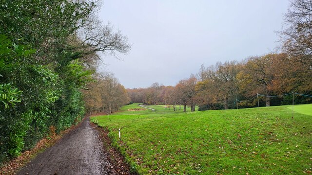
Prince's Coverts is a charming wood and forest located in Surrey, England. Covering an area of approximately 100 acres, this natural treasure is nestled within the Surrey Hills Area of Outstanding Natural Beauty. The wood is known for its lush greenery, diverse wildlife, and tranquil ambiance, making it a popular destination for nature enthusiasts and walkers alike.
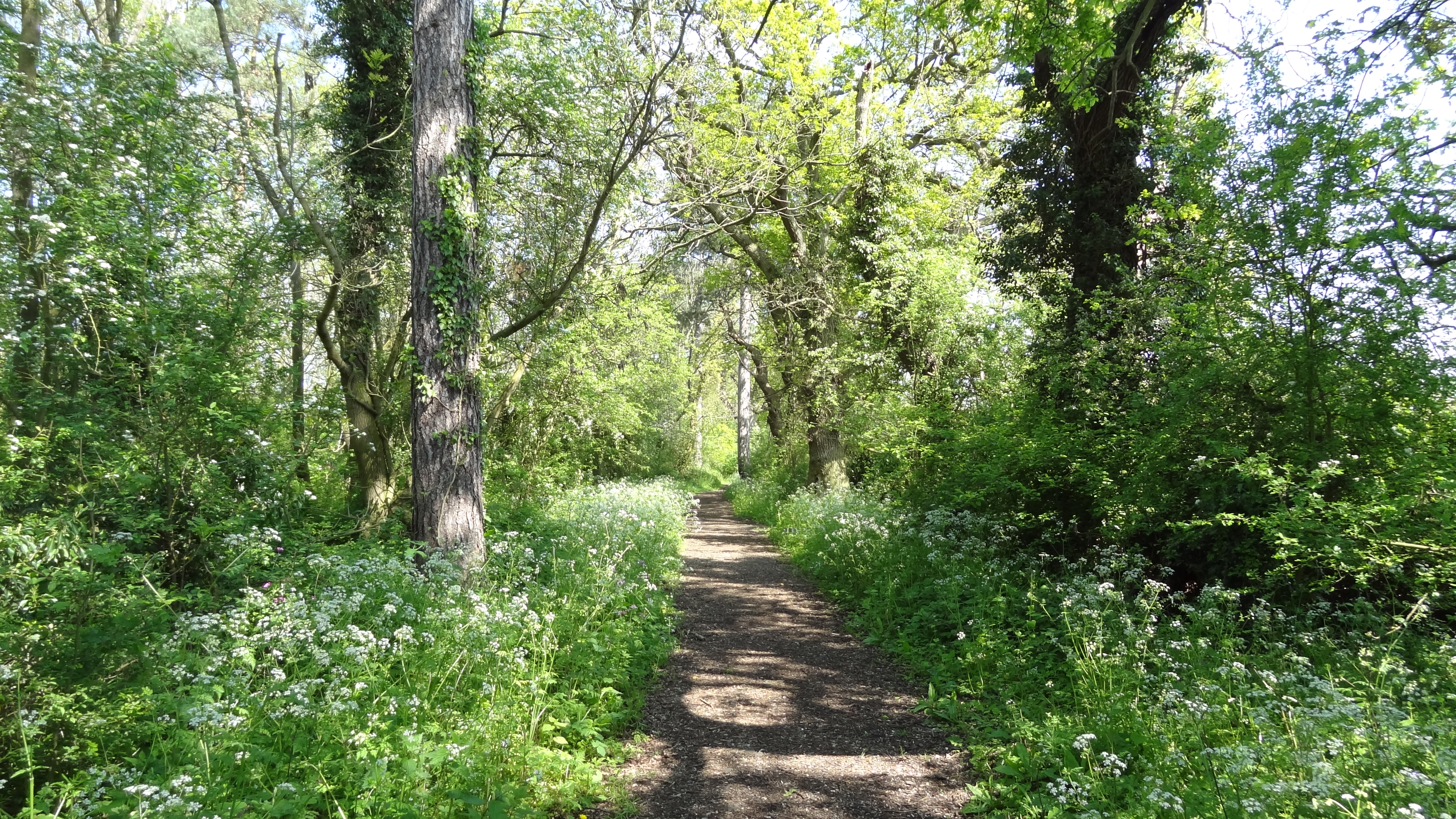
The wood is predominantly composed of oak and beech trees, which provide a dense canopy, creating a cool and shaded environment. The forest floor is covered with a variety of plants and wildflowers, including bluebells, primroses, and wood anemones, adding bursts of color to the landscape during the spring and summer months.
Prince's Coverts is home to a myriad of wildlife species, including deer, foxes, badgers, and a rich array of birdlife. Birdwatchers will delight in spotting species such as woodpeckers, owls, and various songbirds. The tranquil setting and abundance of wildlife make this wood an excellent spot for photographers and nature enthusiasts seeking to capture the beauty of the natural world.
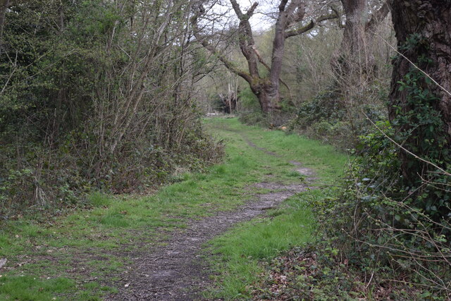
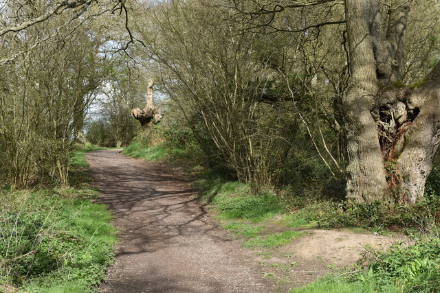
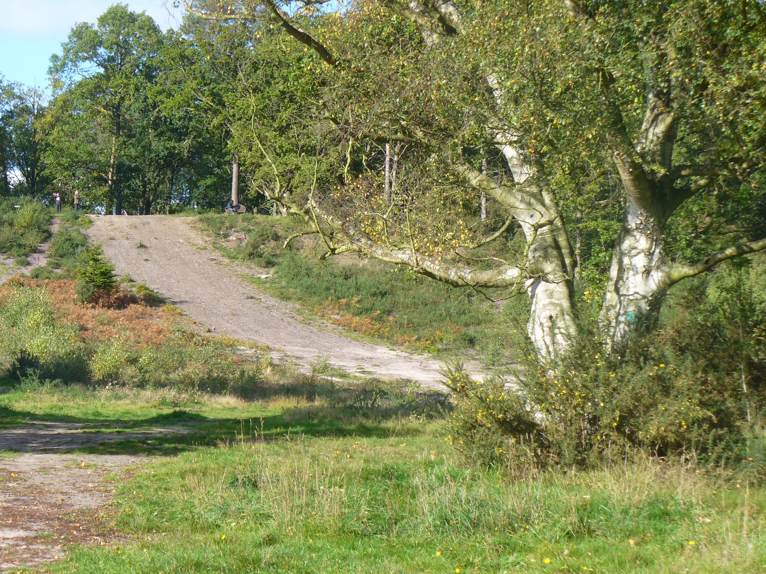
The wood offers several well-maintained trails and pathways, providing visitors with the opportunity to explore its hidden gems. These pathways wind through the wood and offer breathtaking views of the surrounding countryside. Additionally, there are designated picnic areas where visitors can enjoy a leisurely lunch amidst the serene surroundings.
Prince's Coverts is a true haven of tranquility and natural beauty, offering a respite from the bustling urban life. Whether it's a peaceful stroll, a birdwatching adventure, or a picnic with loved ones, this wood is a must-visit destination for anyone seeking solace in nature.
If you have any feedback on the listing, please let us know in the comments section below.
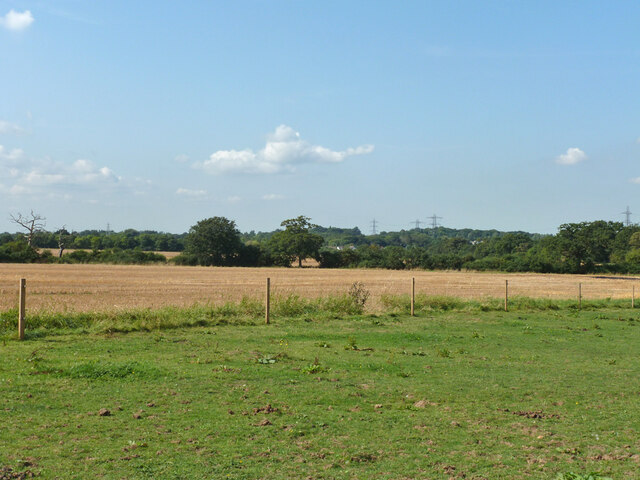
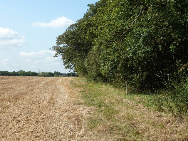
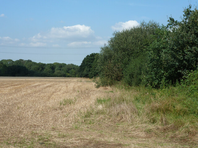
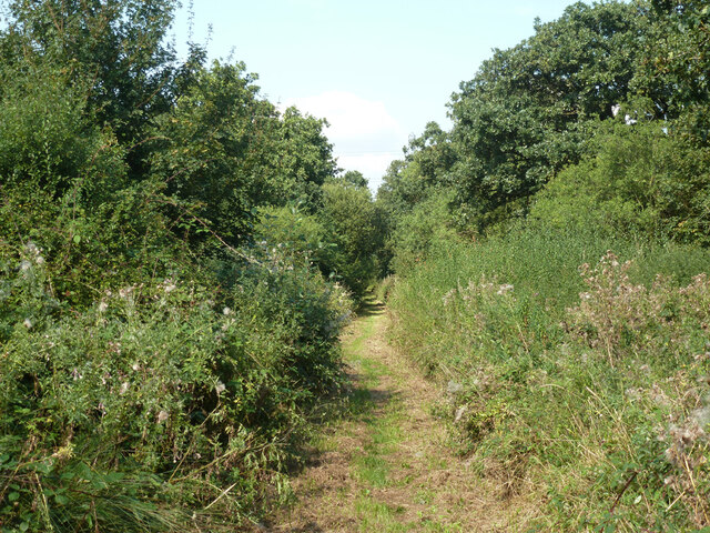
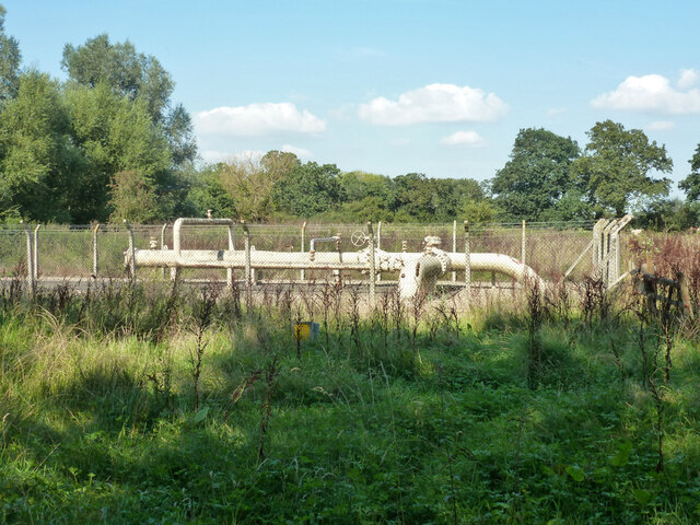
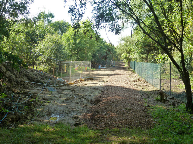
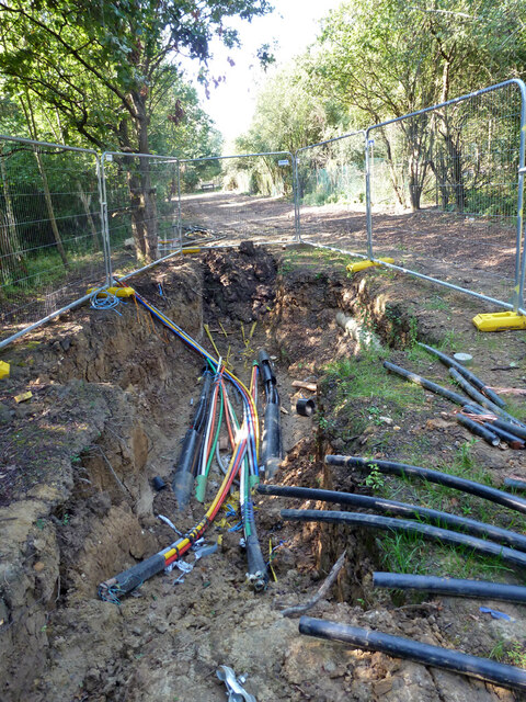
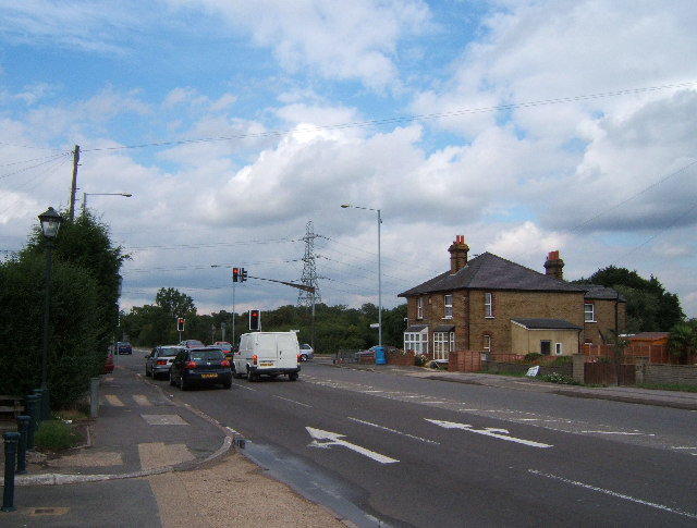
Prince's Coverts Images
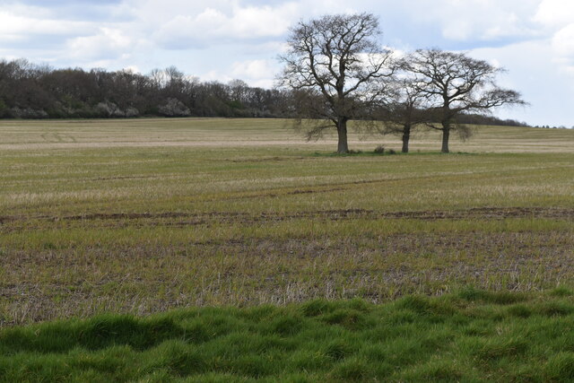
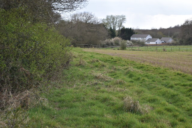
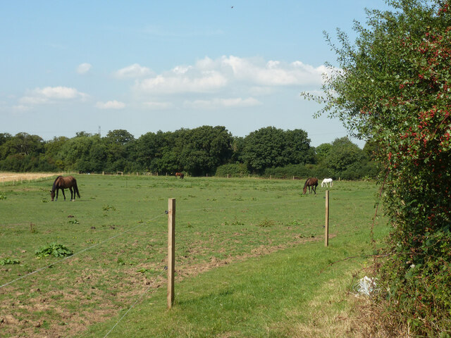
Images are sourced within 2km of 51.337073/-0.33722846 or Grid Reference TQ1561. Thanks to Geograph Open Source API. All images are credited.


Prince's Coverts is located at Grid Ref: TQ1561 (Lat: 51.337073, Lng: -0.33722846)
Administrative County: Surrey
District: Elmbridge
Police Authority: Surrey
What 3 Words
///healthier.drum.amber. Near Chessington, London
Nearby Locations
Related Wikis

Prince's Coverts
Prince's Coverts is an area of 864 acres (3.50 km2; 1.350 sq mi) of managed woodland in Oxshott, Surrey, England, to which there is public access. It is...
Malden Rushett
Malden Rushett is a small village in the Royal Borough of Kingston upon Thames, London. It is located at the southernmost tip of the Royal Borough, surrounded...
Jubilee Wood, Malden Rushett
Jubilee Wood is located in Malden Rushett in the Royal Borough of Kingston upon Thames in London. It is divided into two parts, separated by an electricity...
Oxshott
Oxshott is a suburban village in the borough of Elmbridge in Surrey, England. Oxshott includes hilly acidic heath which is partly wooded (see Esher Commons...
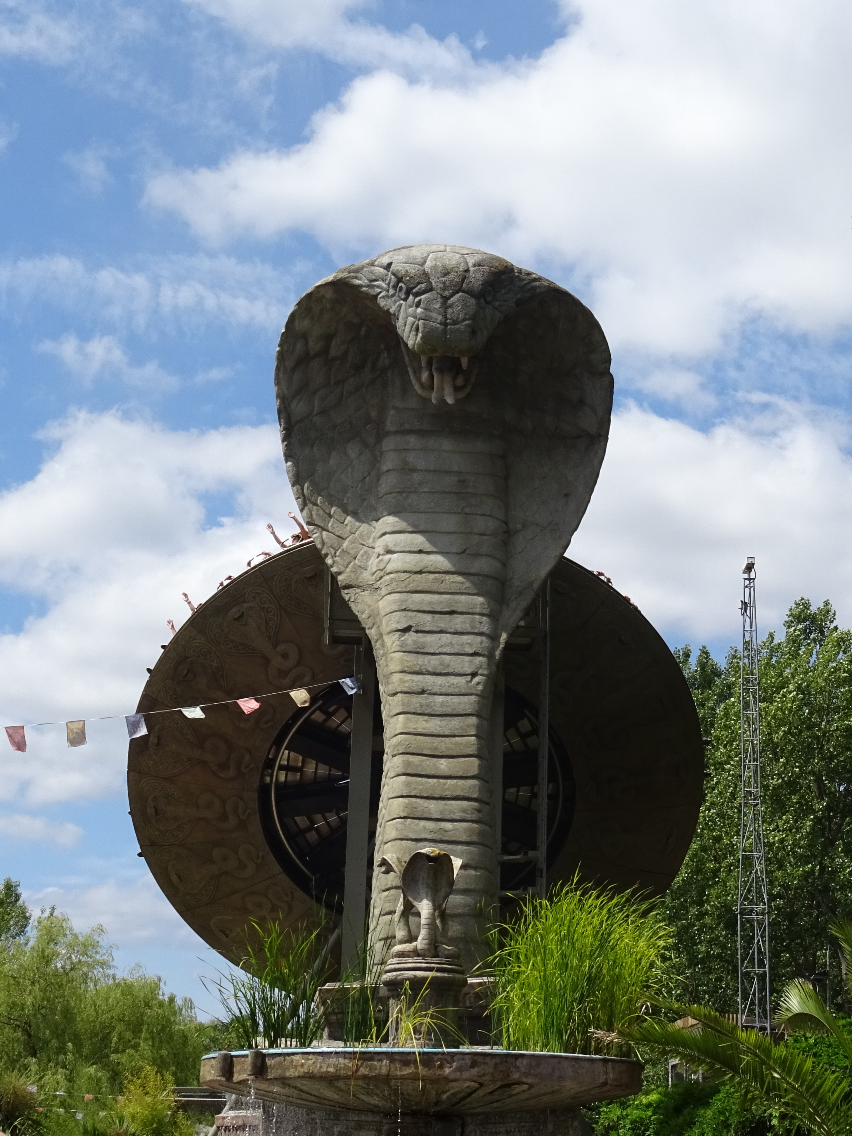
Kobra (ride)
Kobra is a Zamperla Mega Disk’O Coaster which opened in 2010 at Chessington World of Adventures Resort in southwest London, England. As of May 2021, the...

Tiger Rock
Tiger Rock (previously known as Dragon Falls and Dragon River) is a flume ride at the theme park Chessington World of Adventures in Chessington, southwest...

Peeking Heights
Peeking Heights was a Ferris wheel that opened in 2005 at the long-lived Mystic East area of Chessington World of Adventures Resort, where it provided...

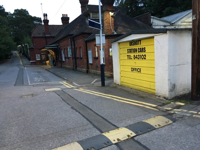
Oxshott railway station
Oxshott railway station serves the village of Oxshott, in Surrey, England. It is 16 miles 79 chains (27.3 km) down the line from London Waterloo. The station...
Have you been to Prince's Coverts?
Leave your review of Prince's Coverts below (or comments, questions and feedback).