Brickyard Plantation
Wood, Forest in Surrey Elmbridge
England
Brickyard Plantation
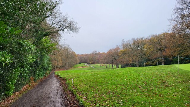
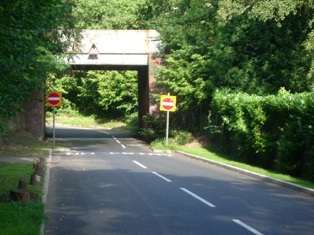
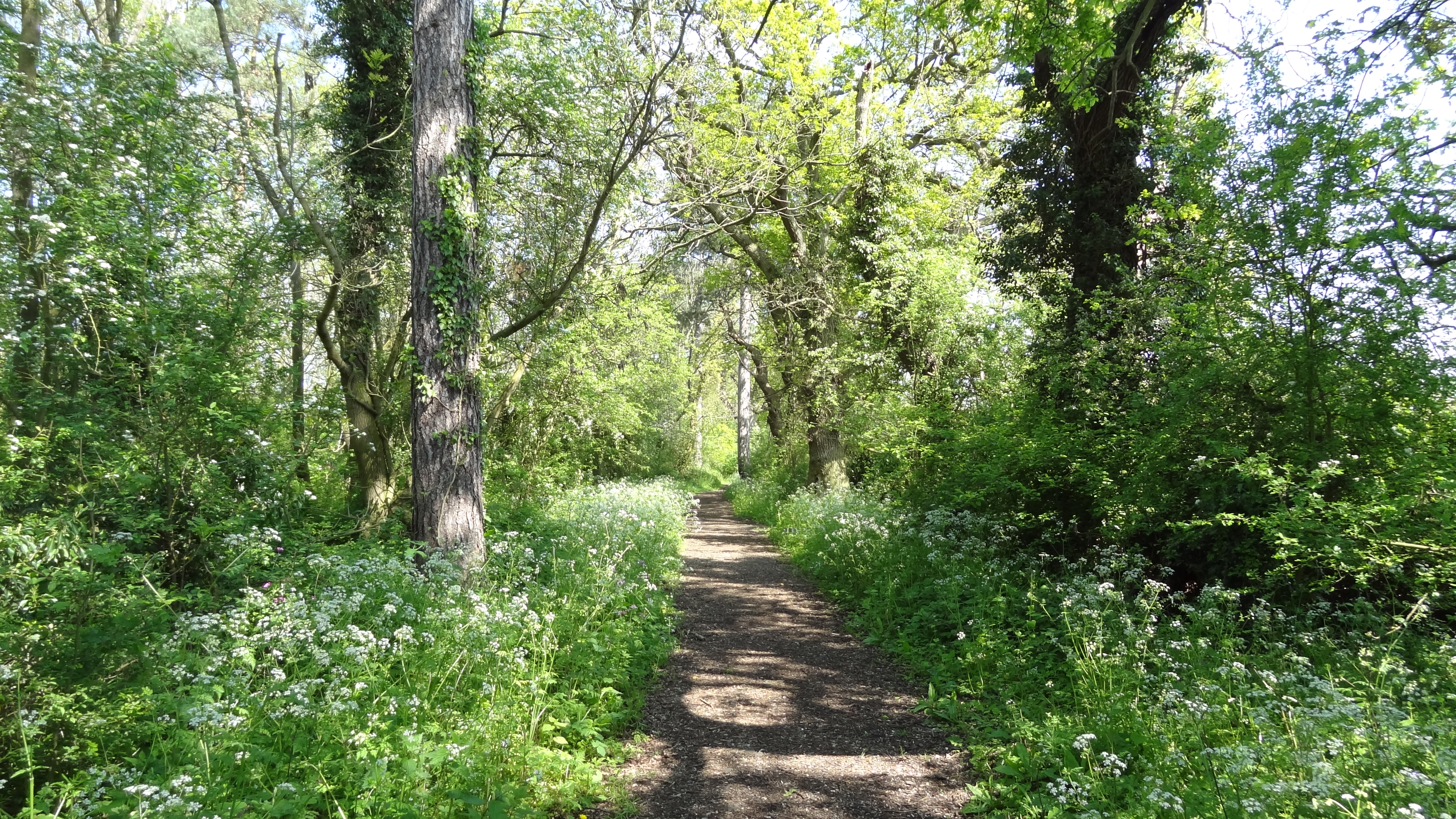
Brickyard Plantation, located in Surrey, is a stunning woodland area known for its dense forest and abundant wildlife. Covering a vast expanse, the plantation is primarily composed of wood and brick structures, reminiscent of its historical significance.
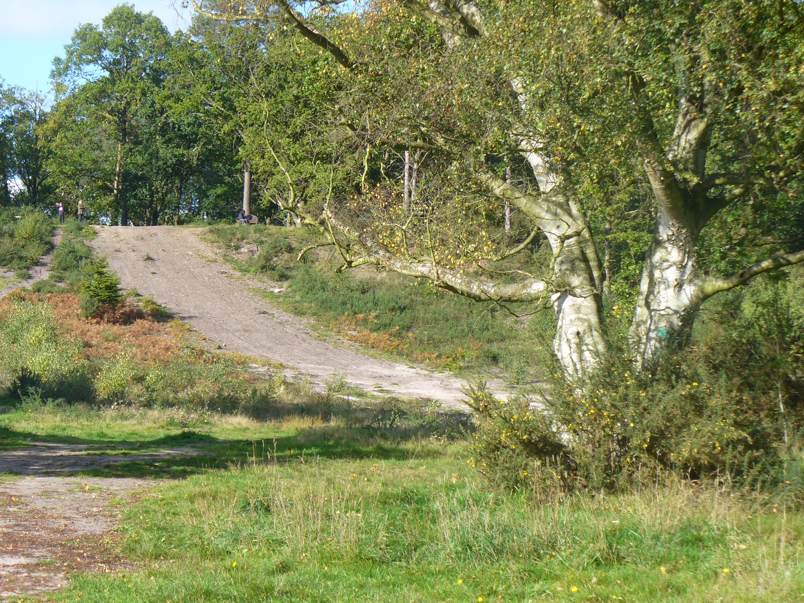
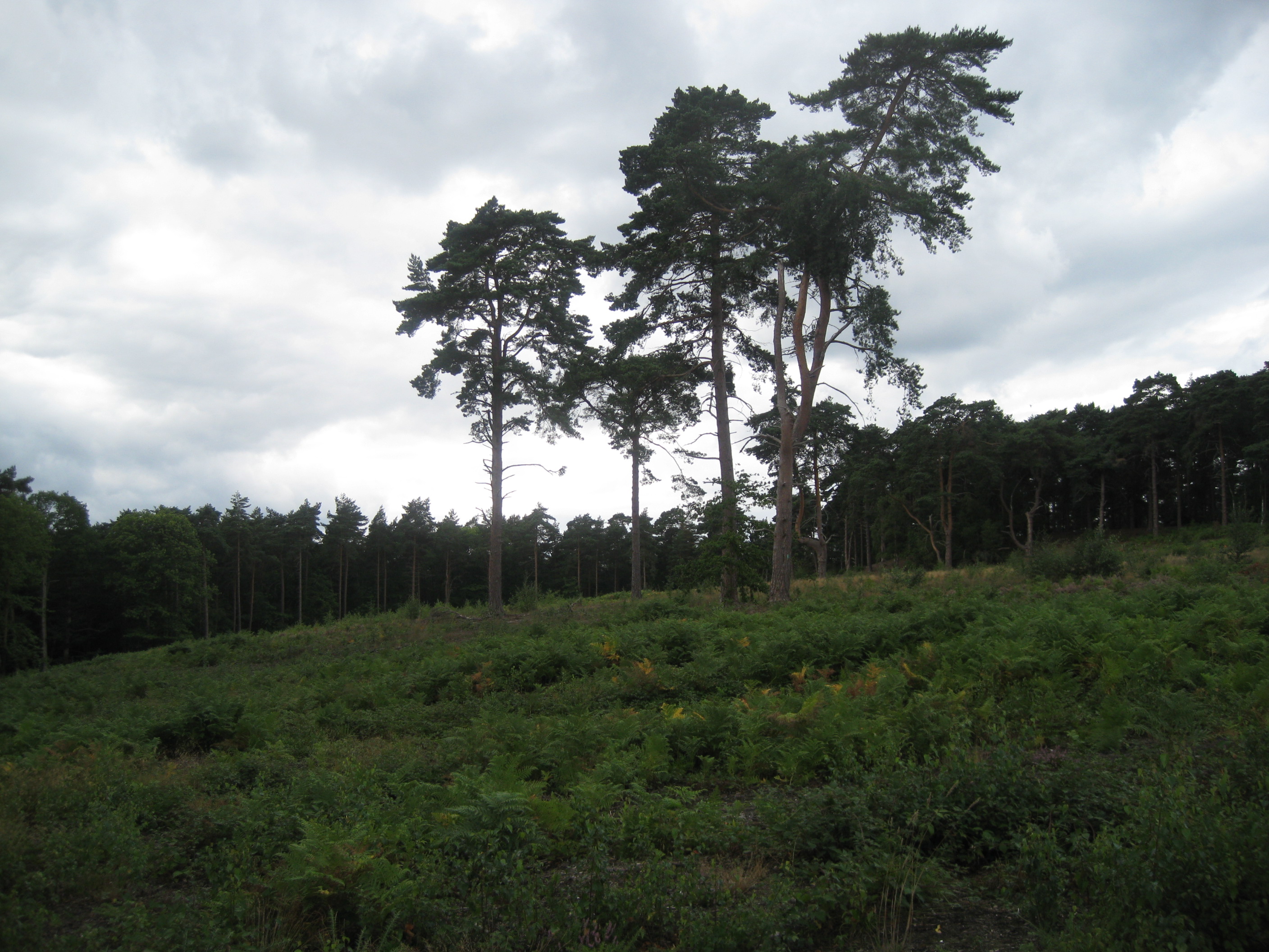
The forest in Brickyard Plantation is characterized by tall, towering trees, creating a serene and picturesque atmosphere. The woodlands are predominantly made up of native tree species such as oak, ash, and birch, providing a diverse habitat for numerous animal species. The forest floor is covered in a thick layer of leaf litter, creating a rich and fertile soil for plant growth.
The plantation also features a brickyard, which was historically used for manufacturing bricks. The remnants of this brickyard can still be seen today, adding to the cultural heritage of the area. Visitors can explore the old brick structures and learn about the traditional brick-making process that took place here.
The wildlife in Brickyard Plantation is abundant and varied. The forest is home to numerous bird species, including woodpeckers, owls, and various songbirds. Small mammals such as squirrels, rabbits, and foxes can often be spotted, along with occasional larger mammals like deer.
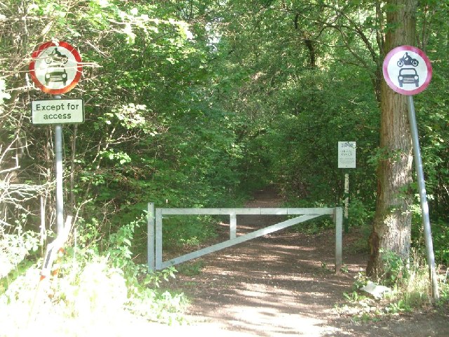
The plantation offers various walking trails, allowing visitors to immerse themselves in the natural beauty of the area. Nature enthusiasts and photographers can capture the mesmerizing scenery and wildlife that call Brickyard Plantation their home. Overall, Brickyard Plantation in Surrey is a haven for nature lovers, history enthusiasts, and those seeking tranquility amidst a thriving woodland ecosystem.
If you have any feedback on the listing, please let us know in the comments section below.
Brickyard Plantation Images
Images are sourced within 2km of 51.339023/-0.34535574 or Grid Reference TQ1561. Thanks to Geograph Open Source API. All images are credited.


Brickyard Plantation is located at Grid Ref: TQ1561 (Lat: 51.339023, Lng: -0.34535574)
Administrative County: Surrey
District: Elmbridge
Police Authority: Surrey
What 3 Words
///sobs.fats.people. Near Esher, Surrey
Nearby Locations
Related Wikis

Prince's Coverts
Prince's Coverts is an area of 864 acres (3.50 km2; 1.350 sq mi) of managed woodland in Oxshott, Surrey, England, to which there is public access. It is...
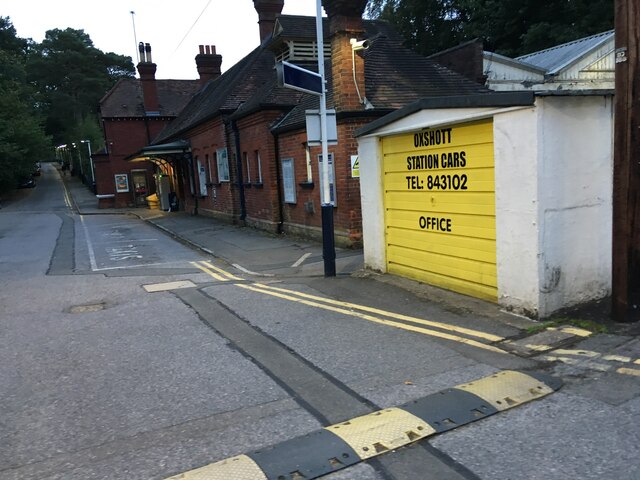
Oxshott
Oxshott is a suburban village in the borough of Elmbridge in Surrey, England. Oxshott includes hilly acidic heath which is partly wooded (see Esher Commons...
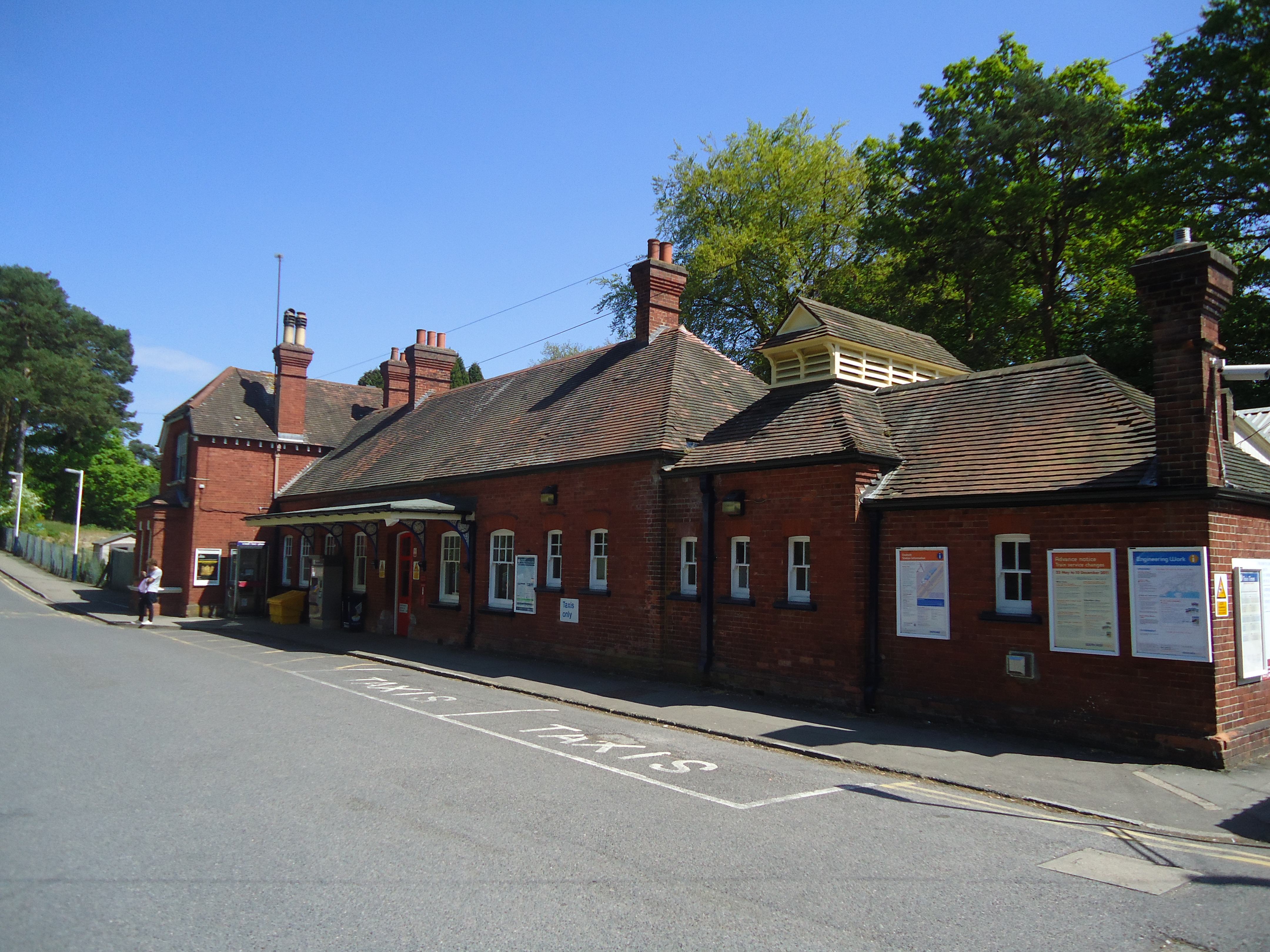
Oxshott railway station
Oxshott railway station serves the village of Oxshott, in Surrey, England. It is 16 miles 79 chains (27.3 km) down the line from London Waterloo. The station...
Oxshott Heath and Woods
Oxshott Heath and Woods is an area of woods and heathland in Oxshott, Surrey, England covering approximately 200 acres (81 ha), as an area of common land...
Jubilee Wood, Malden Rushett
Jubilee Wood is located in Malden Rushett in the Royal Borough of Kingston upon Thames in London. It is divided into two parts, separated by an electricity...
Malden Rushett
Malden Rushett is a small village in the Royal Borough of Kingston upon Thames, London. It is located at the southernmost tip of the Royal Borough, surrounded...

Claygate Common
Claygate Common is a 14.1-hectare (35-acre) Local Nature Reserve south-east of Esher in Surrey. It is owned and managed by Elmbridge Borough Council.The...
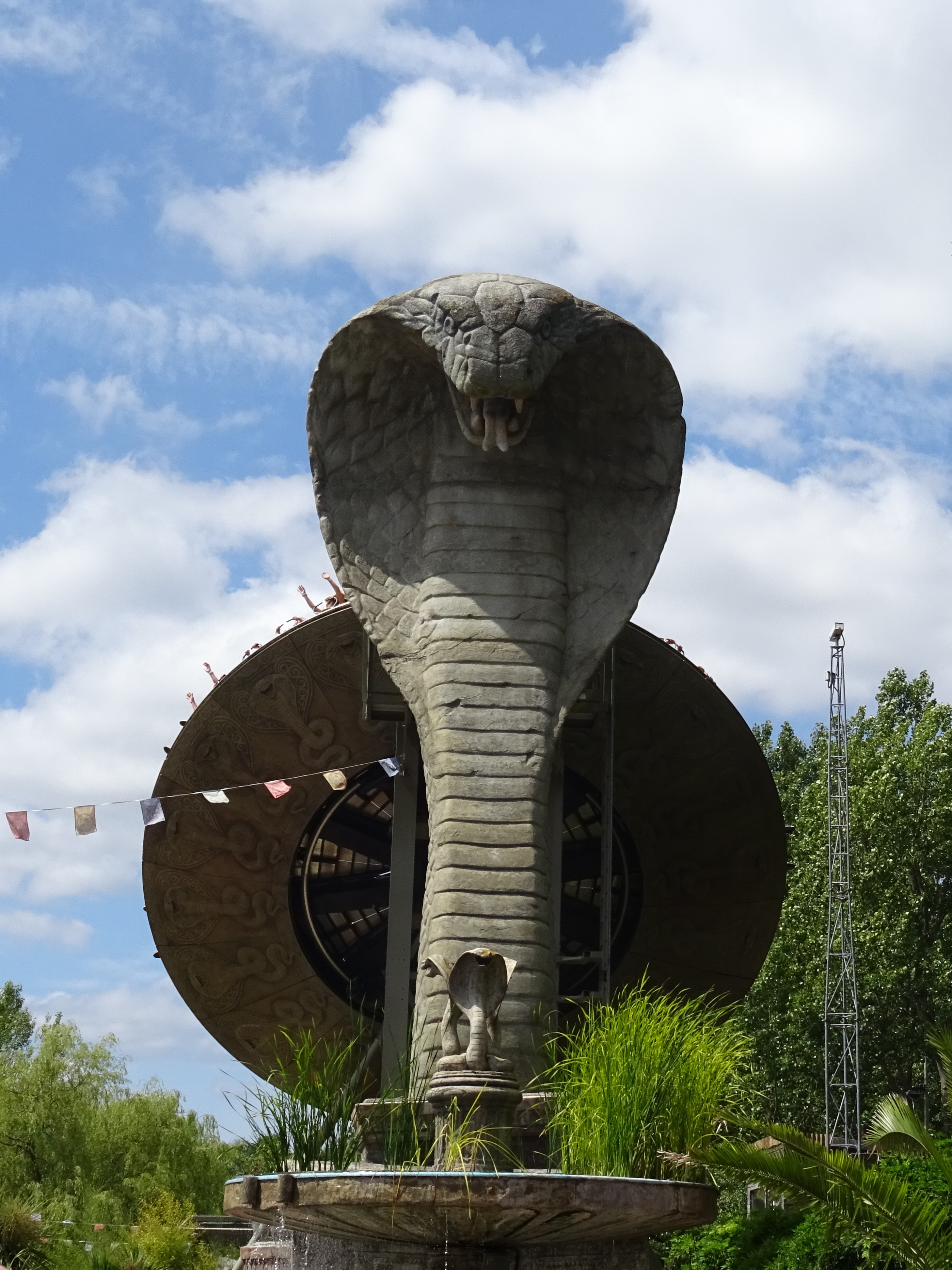
Kobra (ride)
Kobra is a Zamperla Mega Disk’O Coaster which opened in 2010 at Chessington World of Adventures Resort in southwest London, England. As of May 2021, the...
Nearby Amenities
Located within 500m of 51.339023,-0.34535574Have you been to Brickyard Plantation?
Leave your review of Brickyard Plantation below (or comments, questions and feedback).