Chalkdell Wood
Wood, Forest in Hertfordshire St. Albans
England
Chalkdell Wood
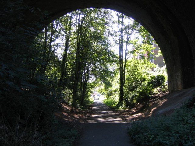
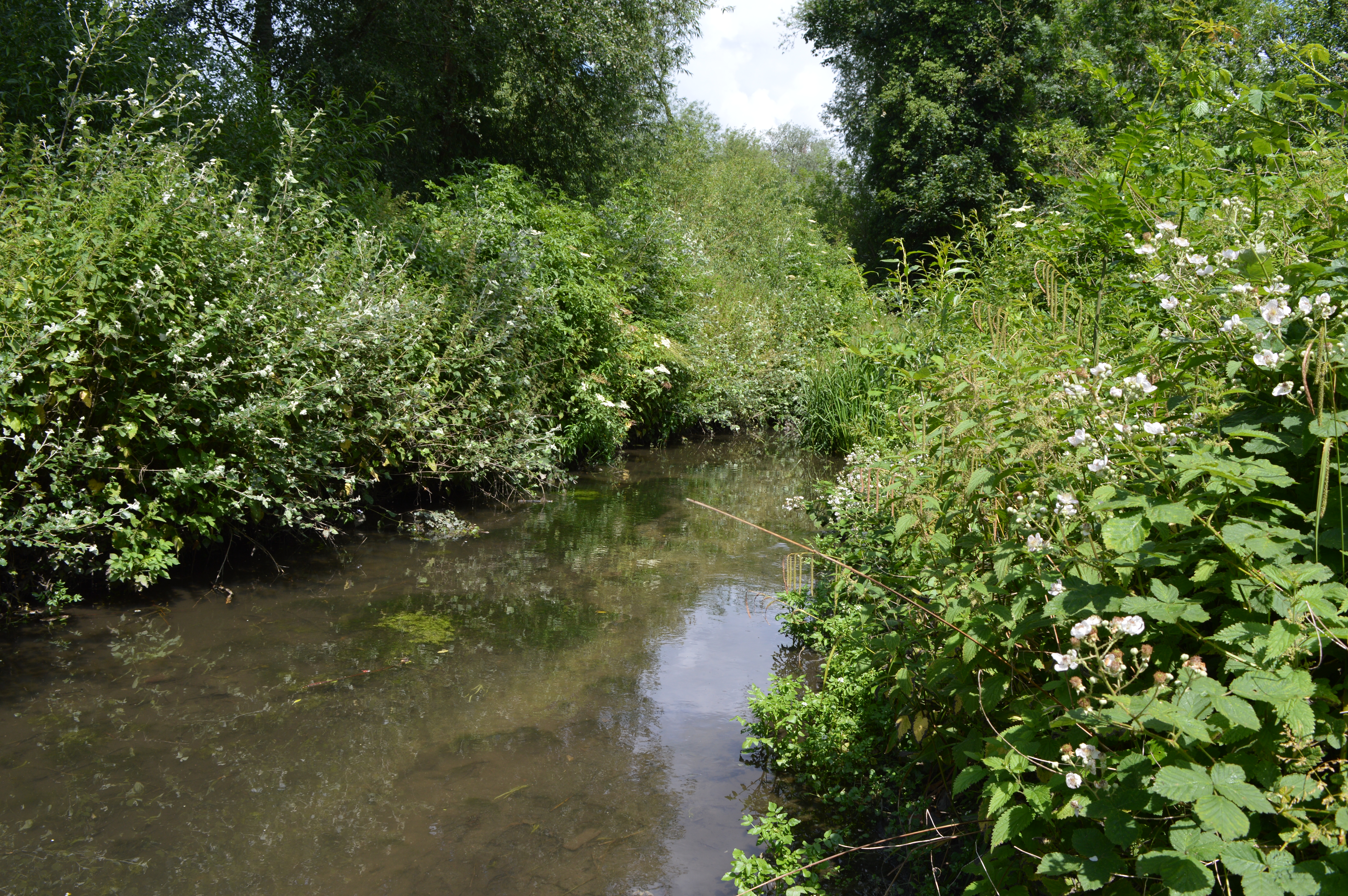
Chalkdell Wood is a picturesque woodland located in Hertfordshire, England. Covering an area of approximately 100 acres, it is a popular destination for nature enthusiasts and hikers alike. The wood is situated just a few miles south of the town of Hitchin and is easily accessible by car or public transportation.
The wood is primarily composed of beech trees, creating a dense canopy that provides shade and shelter to numerous plant and animal species. Walking through Chalkdell Wood, visitors are greeted by a diverse array of wildflowers, including bluebells, wood anemones, and primroses, which carpet the forest floor during the spring months.
The wood is crisscrossed by a network of well-maintained footpaths, allowing visitors to explore its various nooks and crannies. These trails lead to scenic viewpoints, tranquil streams, and small clearings that are perfect for picnics or relaxation.
Chalkdell Wood is home to a variety of wildlife, including deer, badgers, foxes, and numerous bird species. Birdwatchers can spot woodpeckers, owls, and various songbirds throughout the year. The wood’s diverse ecosystem also supports a wide range of insects, making it an excellent destination for nature photography and observation.
With its peaceful atmosphere and natural beauty, Chalkdell Wood offers visitors a chance to escape the hustle and bustle of everyday life and immerse themselves in the tranquility of nature. Whether it's a leisurely stroll, a family outing, or a birdwatching adventure, this enchanting woodland has something to offer for everyone.
If you have any feedback on the listing, please let us know in the comments section below.
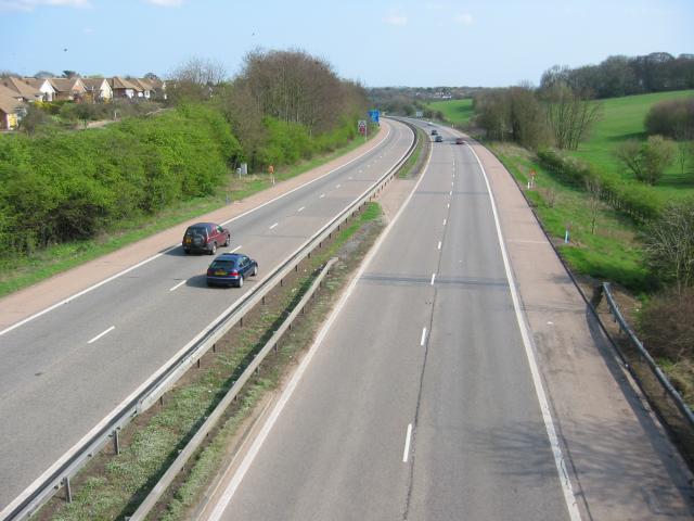
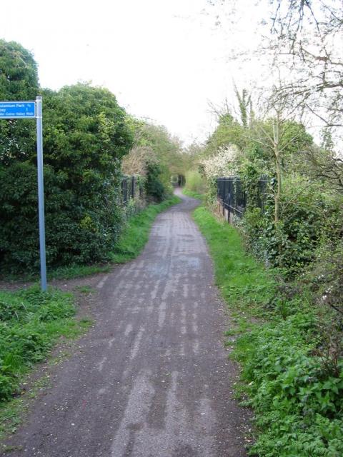
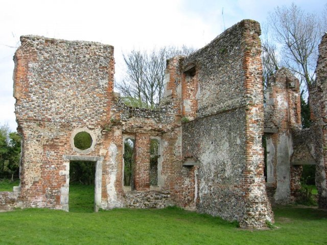
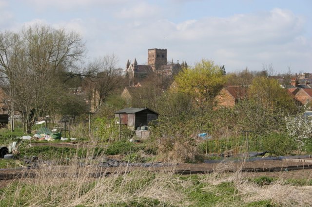
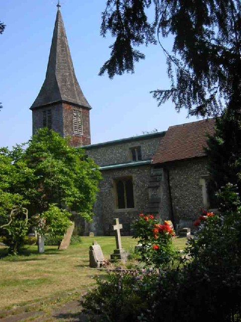
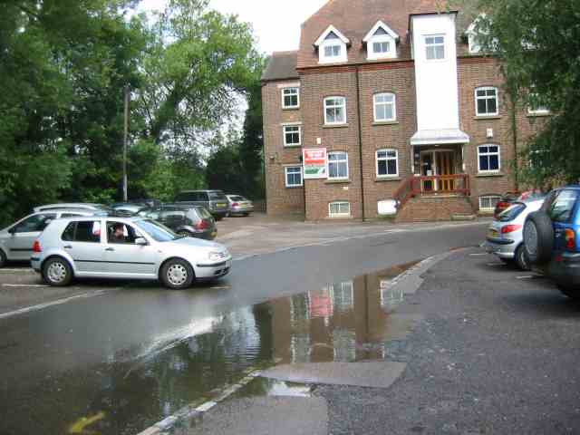
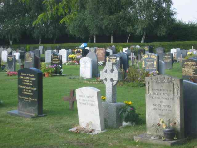
Chalkdell Wood Images
Images are sourced within 2km of 51.734057/-0.32662371 or Grid Reference TL1505. Thanks to Geograph Open Source API. All images are credited.


Chalkdell Wood is located at Grid Ref: TL1505 (Lat: 51.734057, Lng: -0.32662371)
Administrative County: Hertfordshire
District: St. Albans
Police Authority: Hertfordshire
What 3 Words
///voter.crass.urban. Near St Albans, Hertfordshire
Nearby Locations
Related Wikis

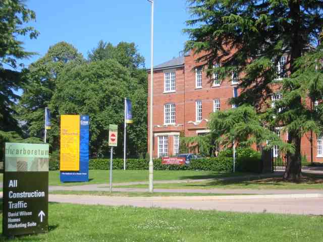
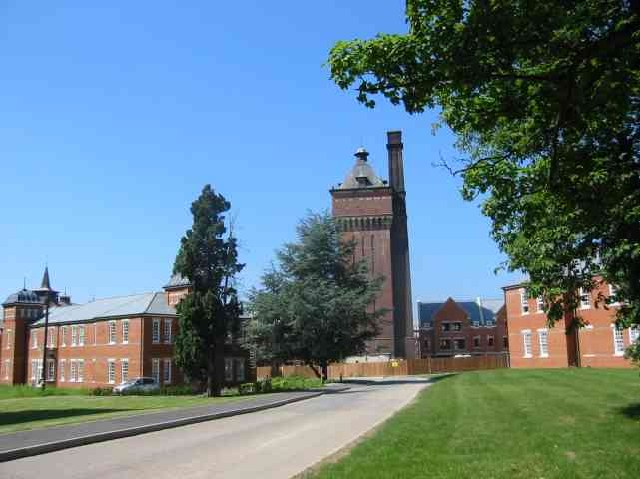
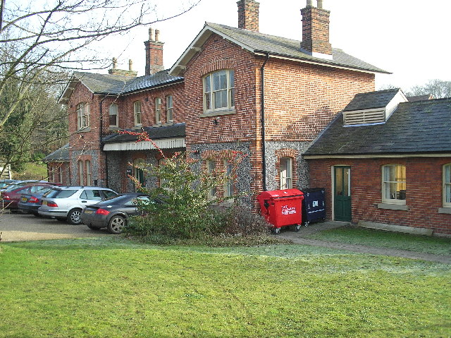
Sopwell House
Sopwell House is a historic Georgian country house, now a luxury 128 bedroom hotel, country club & spa located south of St Albans, Hertfordshire, England...

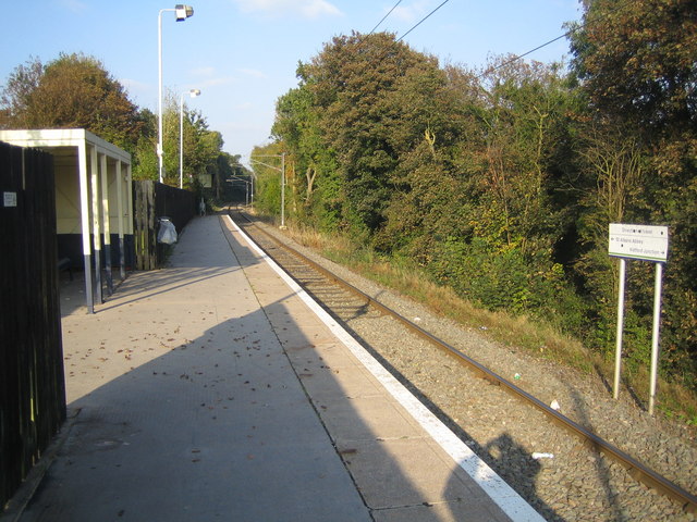
Napsbury railway station
Napsbury railway station was built by the Midland Railway in 1905 on its line to St Pancras station. It was never more than an island platform between...

St Albans (UK Parliament constituency)
St Albans is a constituency represented in the House of Commons of the UK Parliament since 2019 by Daisy Cooper, a Liberal Democrat.This article also describes...
Watercress Wildlife Site
Watercress Wildlife Site is a 1.2-hectare (3.0-acre) Local Nature Reserve in St Albans, Hertfordshire, England. It is owned by St Albans City Council and...
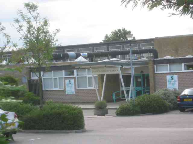
Samuel Ryder Academy
Samuel Ryder Academy (also known as SRA and formerly Francis Bacon School) is a mixed all-through school located in St Albans in South Hertfordshire, England...
St Albans (London Road) railway station
St Albans London Road was one of three railway stations in St Albans, Hertfordshire. == History == The station was opened by the Hatfield and St Albans...

Sopwell Priory
Sopwell Priory (also known as Sopwell Nunnery) was a Benedictine nunnery founded around 1140 on the site of an ancient hermitage in Sopwell, Hertfordshire...
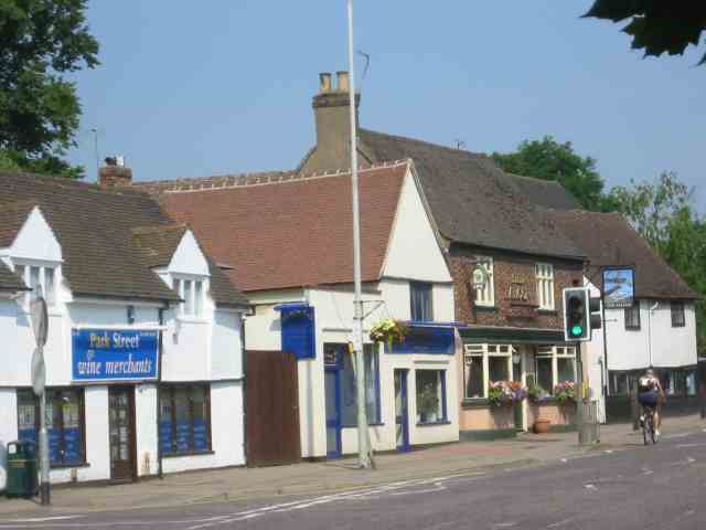
Park Street railway station (England)
Park Street railway station serves the village of Park Street, Hertfordshire, England. It is the penultimate station on the Abbey Line. The station and...
Nearby Amenities
Located within 500m of 51.734057,-0.32662371Have you been to Chalkdell Wood?
Leave your review of Chalkdell Wood below (or comments, questions and feedback).