Bassymoor Plantation

Wood, Forest in Yorkshire

England

Bassymoor Plantation

Watercourse  west  of  Bewholme The footpath north to Dunnington is to the left of the wire fence, a large pond is to the right of this photo hidden behind tree covered banks.
Watercourse west of Bewholme Credit: Martin Dawes

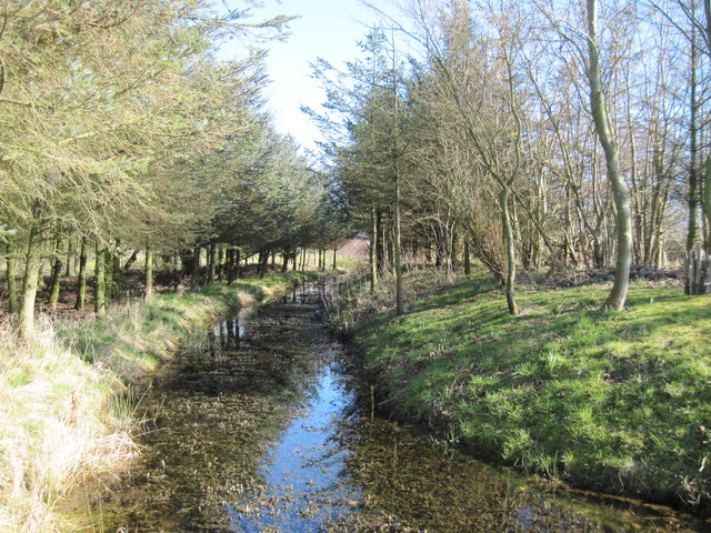
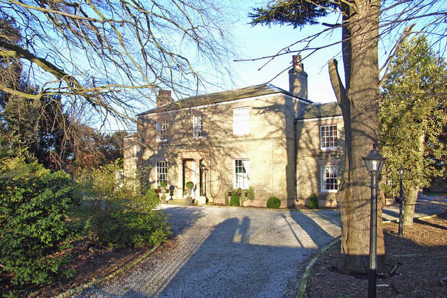
Bassymoor Plantation is a picturesque woodland area located in Yorkshire, England. Situated in the heart of the county, it covers a vast area of lush greenery and is known for its enchanting beauty. The plantation is a part of the larger Bassymoor Forest, which stretches across several miles and is a popular destination for nature enthusiasts and hikers.

The woodland is primarily made up of a variety of tree species, including oak, beech, and birch, creating a diverse and vibrant ecosystem. The dense canopy provides a haven for numerous bird species, making it a paradise for birdwatchers. Additionally, the forest floor is adorned with a rich assortment of wildflowers and plants, adding to the area's natural charm.

The plantation is crisscrossed by well-maintained walking trails, allowing visitors to explore its serene surroundings at their own pace. These trails lead to hidden glens, babbling brooks, and peaceful clearings, providing ample opportunities for relaxation and contemplation.

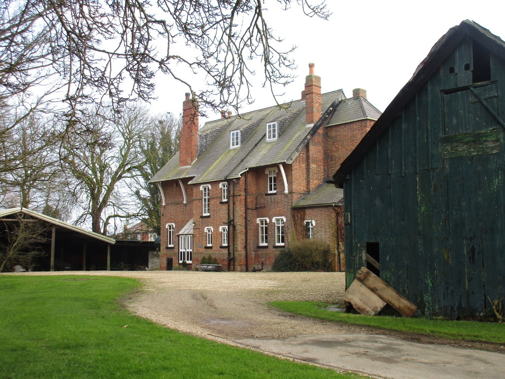
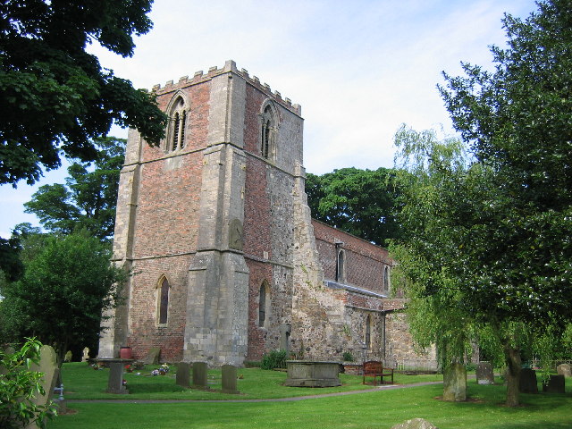
Bassymoor Plantation is not only a haven for flora and fauna but also has a significant historical background. It is believed that the woodland has been in existence for centuries and has witnessed various historical events. Visitors can stumble upon remnants of old structures, such as stone walls and ruins, hinting at its past significance.

Overall, Bassymoor Plantation is a captivating destination for nature lovers and history enthusiasts alike. Its tranquil ambiance, diverse wildlife, and historical charm make it a must-visit location in Yorkshire.

If you have any feedback on the listing, please let us know in the comments section below.

Bassymoor Plantation Images

Images are sourced within 2km of 53.917006/-0.24057922 or Grid Reference TA1548. Thanks to Geograph Open Source API. All images are credited.

Watercourse  west  of  Bewholme The footpath north to Dunnington is to the left of the wire fence, a large pond is to the right of this photo hidden behind tree covered banks.
Watercourse west of Bewholme
The footpath north to Dunnington is to the left of the wire fence, a large pond is to the right of this photo hidden behind tree covered banks.
A  sunlit  scene  west  of  Bewholme This water goes through to a large pond.
A sunlit scene west of Bewholme
This water goes through to a large pond.
The Dunnington to Bewholme Footpath in the Evening Sun
The Dunnington to Bewholme Footpath
Entering Bewholme from the south
Catfoss Road
Catfoss Road
Road  on  north  side  of  Catfoss  Industrial  Estate
Road on north side of Catfoss Industrial Estate
Track approaching Hornsea Road This track runs between Wassland Balk and Hornsea Road.
Track approaching Hornsea Road
This track runs between Wassland Balk and Hornsea Road.
Catfoss  Bridge  looking  East The land rises to 15 metres could that be the Northern Hills mentioned on the O/S map!
Catfoss Bridge looking East
The land rises to 15 metres could that be the Northern Hills mentioned on the O/S map!
Disused  Aerodrome  Catfoss A minor section southeast of the main runways.It was only used as a WW2 bomber base,in the churchyard at Brandesburton there are graves of both Allied and German aircrew, TA1147. It was a hailstorm as I took the photo; thankfully it did not last long.
Disused Aerodrome Catfoss
A minor section southeast of the main runways.It was only used as a WW2 bomber base,in the churchyard at Brandesburton there are graves of both Allied and German aircrew, TA1147. It was a hailstorm as I took the photo; thankfully it did not last long.
Catfoss  Aerodrome  southside End of the concrete,pond in the grass to the right, i am stood on the bridleway to Brandesburton
Catfoss Aerodrome southside
End of the concrete,pond in the grass to the right, i am stood on the bridleway to Brandesburton
Arram  Hall  Farm On the footpath from Seaton north to Bewholme
Arram Hall Farm
On the footpath from Seaton north to Bewholme
Footpath  to  Bewholme The large building ahead is the early 18th century Manor House, a farm. The village of Bewholme is to the right.
Footpath to Bewholme
The large building ahead is the early 18th century Manor House, a farm. The village of Bewholme is to the right.
Common  Farm  from  Nicholson  Lane  (Tk)
Common Farm from Nicholson Lane (Tk)
Bewholme  Lane  leading  out  of  Seaton
Bewholme Lane leading out of Seaton
An  unusual  Letterbox Wall mounted on the post office Main Street Seaton this George VI box has written at the bottom. NOTICE,letters containing coin,paper money or jewellery should not be posted in this box,but should be registered.
An unusual Letterbox
Wall mounted on the post office Main Street Seaton this George VI box has written at the bottom. NOTICE,letters containing coin,paper money or jewellery should not be posted in this box,but should be registered.
Farm  Track  south  of  Arram  Hall You can continue south on field footpaths to the village of Seaton.
Farm Track south of Arram Hall
You can continue south on field footpaths to the village of Seaton.
Road  Junction  on  Catfoss  Road Turn left for Nunkeeling and Dunnington.
Road Junction on Catfoss Road
Turn left for Nunkeeling and Dunnington.
Show me another place!

Bassymoor Plantation is located at Grid Ref: TA1548 (Lat: 53.917006, Lng: -0.24057922)

Division: East Riding

Unitary Authority: East Riding of Yorkshire

Police Authority: Humberside

What 3 Words

///blockage.rainy.revised. Near Dunnington, North Yorkshire

Related Wikis

Seaton, East Riding of Yorkshire

Seaton is a village and civil parish in the East Riding of Yorkshire, England. It is situated approximately 2.5 miles (4 km) west of Hornsea on the A1035...

Catfoss

Catfoss is a hamlet in the East Riding of Yorkshire, England, in an area known as Holderness. It is situated approximately 5 miles (8 km) west of the town...

Nunkeeling

Nunkeeling is a hamlet in the East Riding of Yorkshire, England. It is situated approximately 4 miles (6.4 km) north-west of the town of Hornsea and 3...

Bewholme

Bewholme is a village and civil parish in the East Riding of Yorkshire, England. It is situated approximately 3 miles (4.8 km) north-west of the town of...

Bewholme Vicarage

Bewholme Vicarage, in the village of Bewholme, East Riding of Yorkshire, England, is a former vicarage designed by the architect William Burges in 1859...

Nunkeeling Priory

Nunkeeling Priory was a priory of Benedictine nuns in the East Riding of Yorkshire, England founded by Agnes de Arches or de Catfoss in 1152 . It was dedicated...

RAF Catfoss

Royal Air Force Catfoss, or more simply RAF Catfoss, is a former Royal Air Force station during the Second World War. It was located 4 miles (6.4 km) west...

Sigglesthorne

Sigglesthorne is a small village and civil parish in the East Riding of Yorkshire, England. It is situated approximately 3 miles (4.8 km) west of Hornsea...

Nearby Amenities

Located within 500m of 53.917006,-0.24057922
Power: pole
Lat/Long: 53.9199694/-0.2367445
Power: pole
Lat/Long: 53.9209144/-0.2384883
Power: pole
Lat/Long: 53.9181141/-0.2333906
Power: pole
Lat/Long: 53.9189868/-0.2349863
The data included in this document is from www.openstreetmap.org. The data is made available under ODbL.

Have you been to Bassymoor Plantation?

Leave your review of Bassymoor Plantation below (or comments, questions and feedback).