Sopwell
Settlement in Hertfordshire St. Albans
England
Sopwell
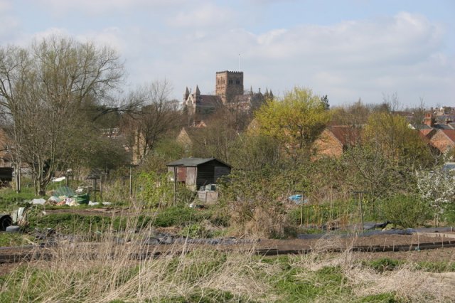
Sopwell is a suburban area located in the county of Hertfordshire, England. Situated just outside of St Albans city center, it forms a part of the St Albans City and District Council area. The area is primarily residential and offers a peaceful and tranquil setting for its residents.
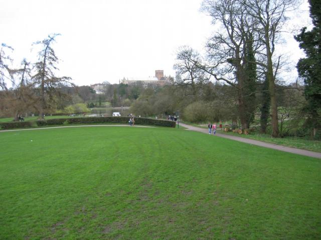
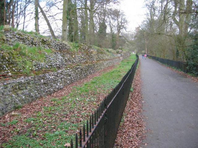
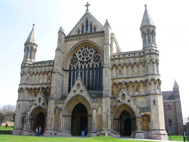
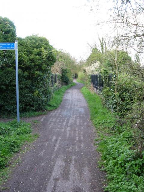
One of the notable features of Sopwell is its close proximity to Verulamium Park, which is one of the largest green spaces in St Albans. This park offers a range of recreational activities, including walking trails, sports fields, and a beautiful lake. The park also houses the Verulamium Museum, which provides insights into the Roman history of the area.
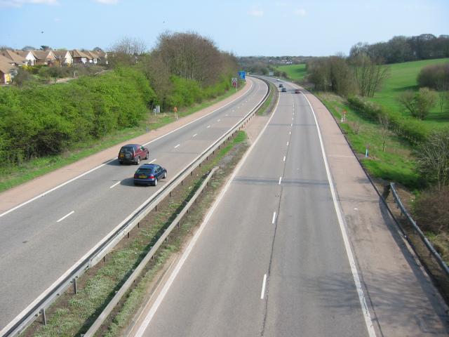
Sopwell is well-connected to the rest of Hertfordshire and London by both road and rail. The nearby M25 motorway provides easy access to the wider region, while the St Albans City railway station offers regular services to London and other major cities.
The area is also home to a number of local amenities, including shops, schools, and healthcare facilities, making it an ideal place for families. Additionally, Sopwell benefits from a range of community events and activities, including seasonal fairs and local markets.
Overall, Sopwell offers a blend of natural beauty, historical significance, and modern conveniences, making it an attractive place to live for individuals seeking a peaceful suburban lifestyle with easy access to urban amenities.
If you have any feedback on the listing, please let us know in the comments section below.
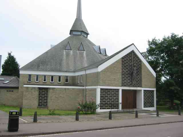
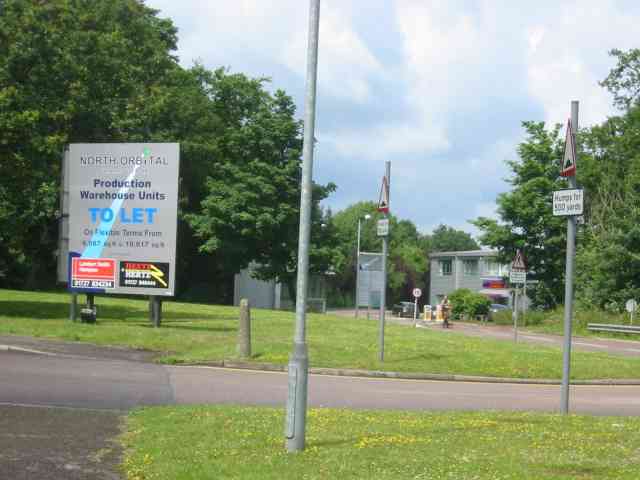
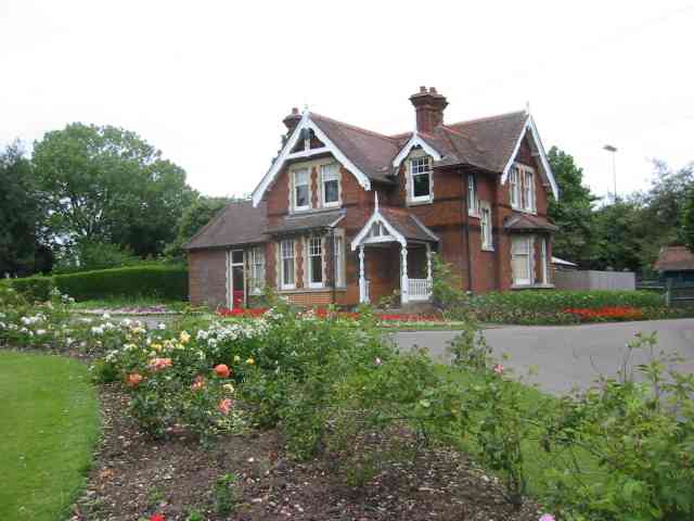
Sopwell Images
Images are sourced within 2km of 51.737812/-0.33142373 or Grid Reference TL1505. Thanks to Geograph Open Source API. All images are credited.


Sopwell is located at Grid Ref: TL1505 (Lat: 51.737812, Lng: -0.33142373)
Administrative County: Hertfordshire
District: St. Albans
Police Authority: Hertfordshire
What 3 Words
///cats.boring.raced. Near St Albans, Hertfordshire
Nearby Locations
Related Wikis

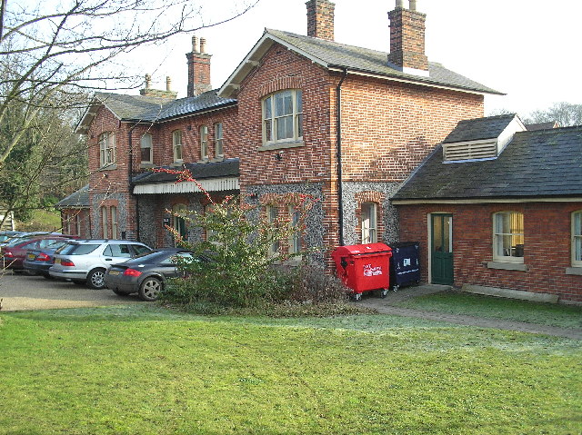
Sopwell House
Sopwell House is a historic Georgian country house, now a luxury 128 bedroom hotel, country club & spa located south of St Albans, Hertfordshire, England...

St Albans (UK Parliament constituency)
St Albans is a constituency represented in the House of Commons of the UK Parliament since 2019 by Daisy Cooper, a Liberal Democrat.This article also describes...
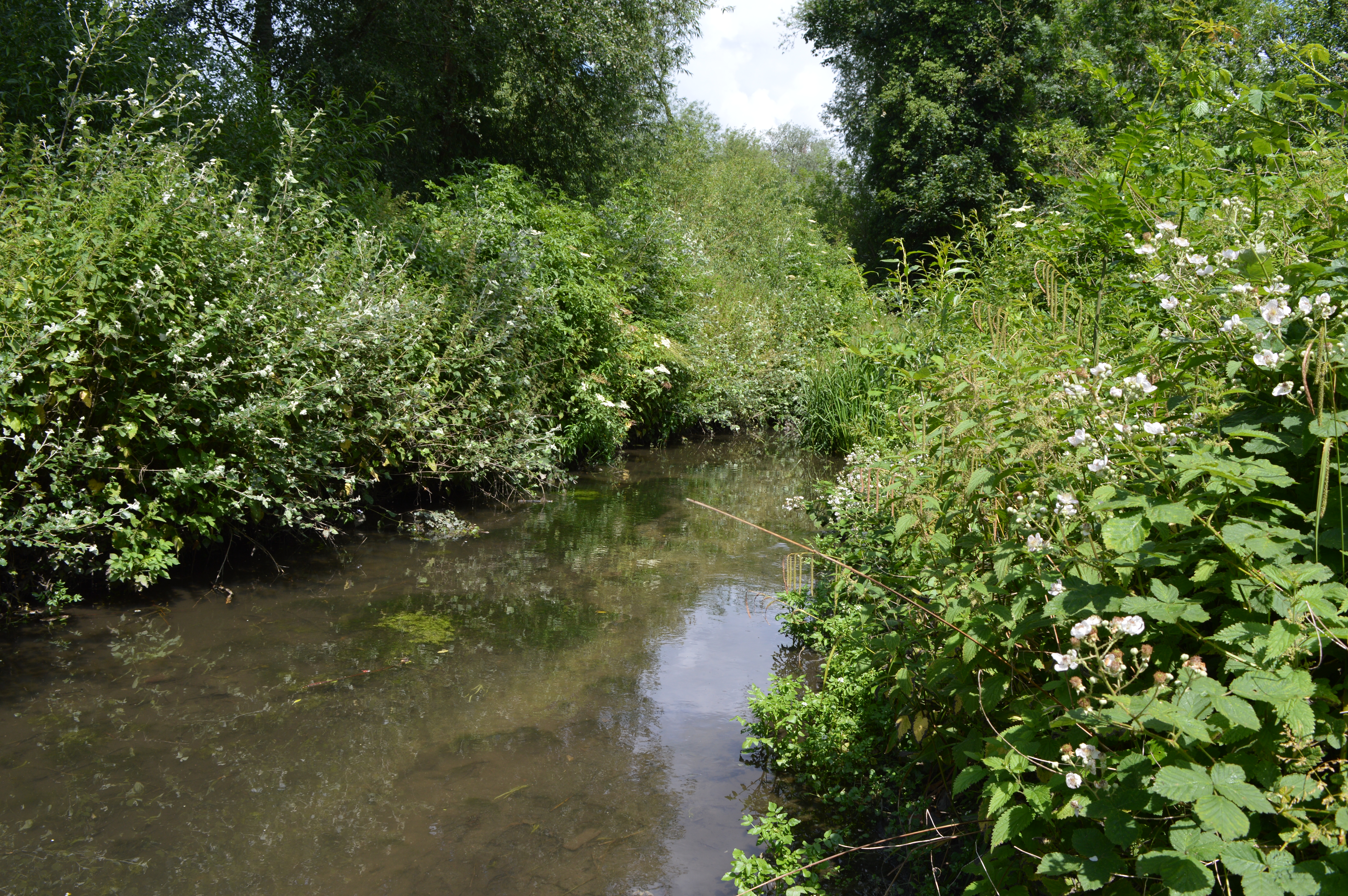
Watercress Wildlife Site
Watercress Wildlife Site is a 1.2-hectare (3.0-acre) Local Nature Reserve in St Albans, Hertfordshire, England. It is owned by St Albans City Council and...

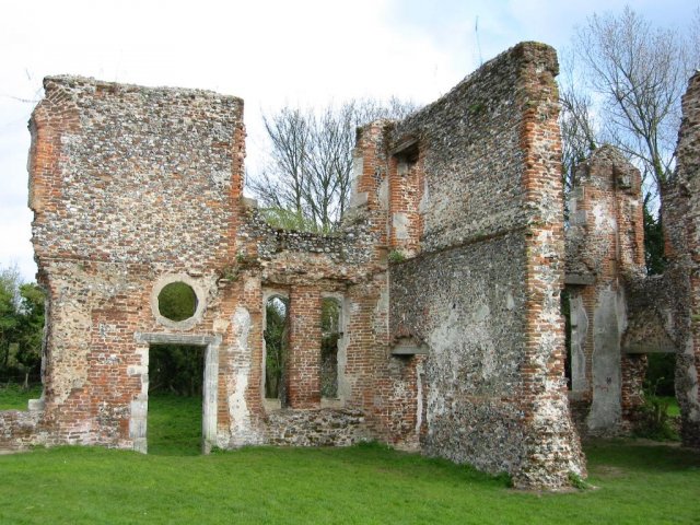
Sopwell Priory
Sopwell Priory (also known as Sopwell Nunnery) was a Benedictine nunnery founded around 1140 on the site of an ancient hermitage in Sopwell, Hertfordshire...
St Albans (London Road) railway station
St Albans London Road was one of three railway stations in St Albans, Hertfordshire. == History == The station was opened by the Hatfield and St Albans...

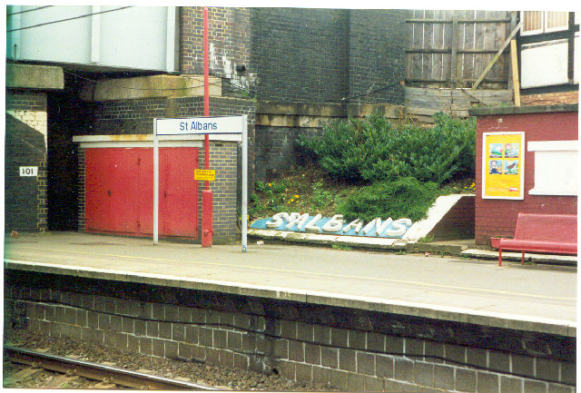
St Albans Abbey railway station
St Albans Abbey railway station in St Albans, Hertfordshire, England is about 0.6 miles (1 km) south of the city centre in the St Stephen's area. It is...
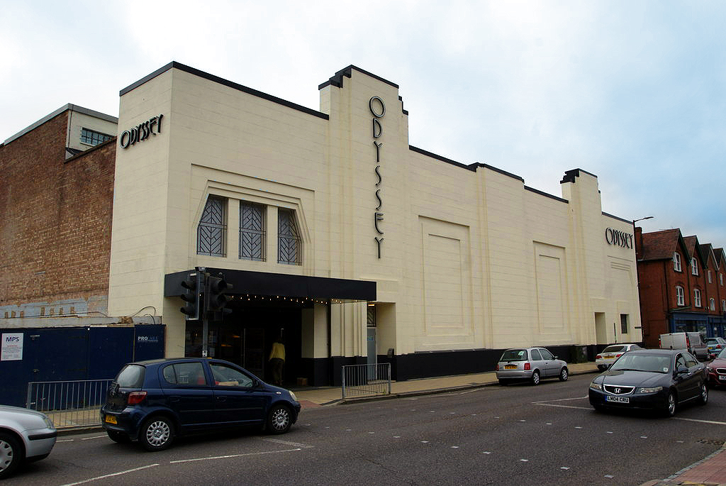
Odyssey Cinema, St Albans
The Odyssey Cinema is a film theatre in the city of St Albans, Hertfordshire, in the United Kingdom. It is a locally listed Art Deco building, located...
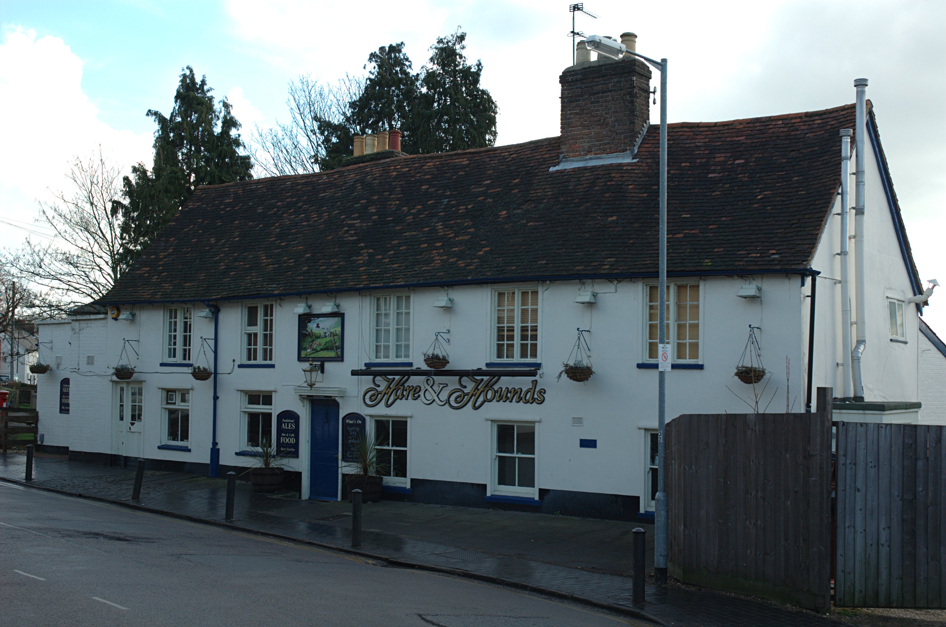
Hare and Hounds, St Albans
The Hare and Hounds is a public house at 104 Sopwell Lane in St Albans, Hertfordshire, England. The timber framed building has a plastered exterior. It...
Nearby Amenities
Located within 500m of 51.737812,-0.33142373Have you been to Sopwell?
Leave your review of Sopwell below (or comments, questions and feedback).