Hartsgravel Wood

Wood, Forest in Sussex Horsham

England

Hartsgravel Wood

Old Milestone by the former A24, Mill Straight, Southwater parish Carved stone post by the UC road (was A24), in parish of Southwater (Horsham District), Mill Straight, West of Fieldings, against fence, on South side of road at end of bus lay-by. Steyning stone, erected by the Horsham & Steyning turnpike trust in the 19th century. Painted and re-engraved by Lionel Joseph in about 2011.

Inscription reads:-
40
MILES
FROM
LONDON
Carved benchmark upper centre, rivet on top.

West Sussex HER.
HER Ref: MWS8538 <span class="nowrap"><a title="https://www.heritagegateway.org.uk/Gateway/Results_Single.aspx?uid=MWS8538&resourceID=1032" rel="nofollow ugc noopener" href="https://www.heritagegateway.org.uk/Gateway/Results_Single.aspx?uid=MWS8538&resourceID=1032">Link</a><img style="margin-left:2px;" alt="External link" title="External link - shift click to open in new window" src="https://s1.geograph.org.uk/img/external.png" width="10" height="10"/></span>

Milestone Society National ID: SX_LA40
Old Milestone by the former A24, Mill Straight, Southwater parish Credit: Lionel Joseph

Hartsgravel Wood is a picturesque woodland located in the county of Sussex, England. Situated just outside the village of Hartfield, it covers an area of approximately 50 hectares and is part of the wider Ashdown Forest.

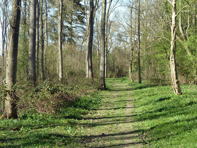
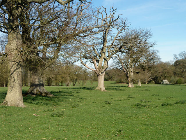
The woodland is predominantly made up of mixed deciduous trees, including oak, beech, and birch. These towering trees create a dense canopy that provides shade and shelter for an array of wildlife. The forest floor is covered in a thick carpet of ferns, mosses, and wildflowers, adding to the enchanting atmosphere of the wood.

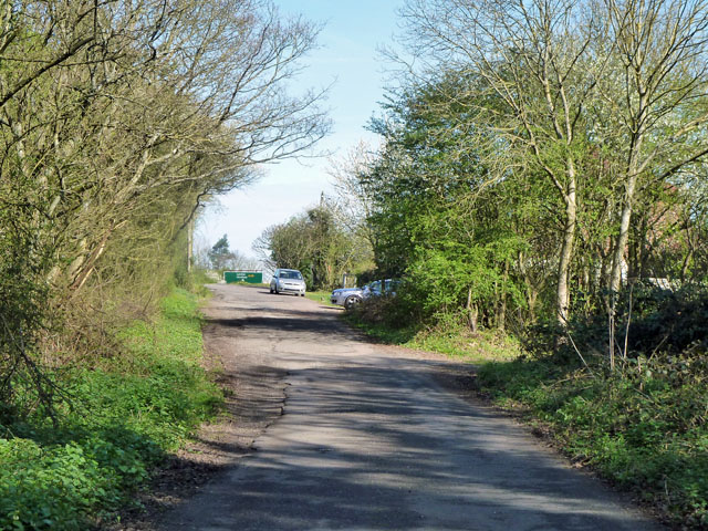
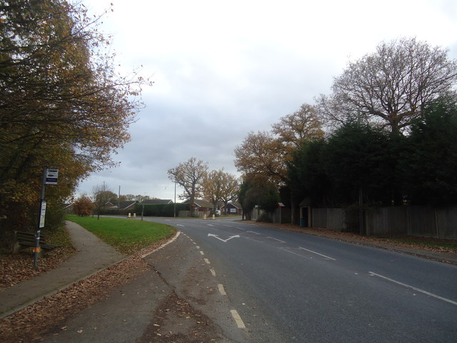
Hartsgravel Wood is intersected by a network of footpaths, allowing visitors to explore its beauty and immerse themselves in nature. The paths wind through the trees, across babbling brooks, and up gentle slopes, providing stunning views of the surrounding countryside.

The wood is home to a variety of wildlife, including deer, squirrels, and a wide range of bird species. It is a designated Site of Special Scientific Interest (SSSI) due to its importance for conservation and biodiversity. Rare plants and insects can be found here, making it a haven for nature enthusiasts and researchers.

Hartsgravel Wood holds a special place in the hearts of locals and visitors alike, offering a peaceful retreat from the hustle and bustle of everyday life. Its natural beauty, tranquil atmosphere, and diverse wildlife make it a must-visit destination for anyone seeking a connection with nature in the heart of Sussex.

If you have any feedback on the listing, please let us know in the comments section below.

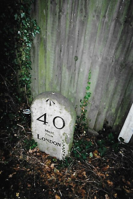
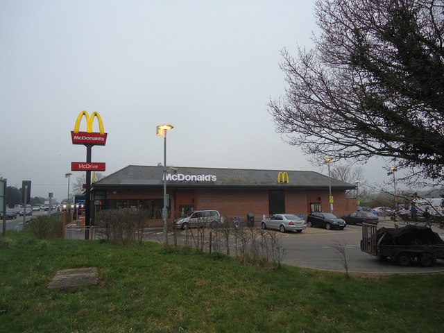
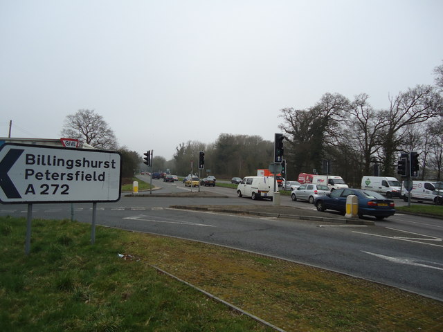
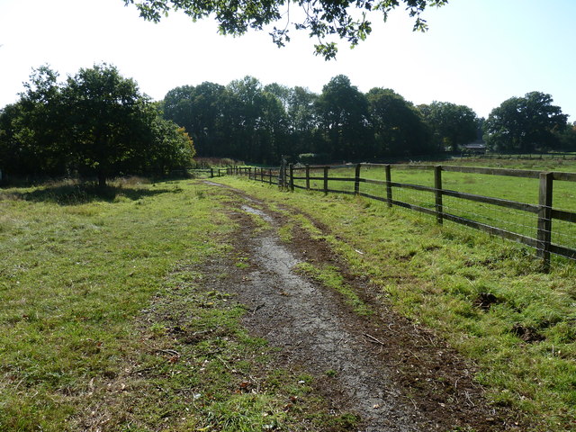
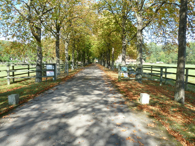
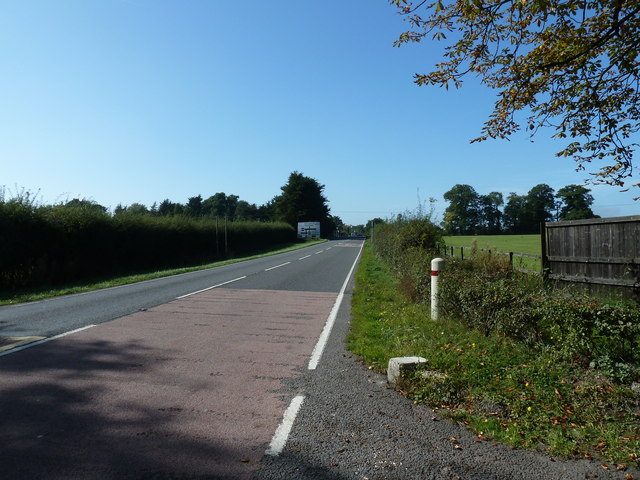
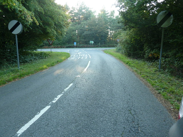
Hartsgravel Wood Images

Images are sourced within 2km of 51.001807/-0.35775121 or Grid Reference TQ1523. Thanks to Geograph Open Source API. All images are credited.

Old Milestone by the former A24, Mill Straight, Southwater parish Carved stone post by the UC road (was A24), in parish of Southwater (Horsham District), Mill Straight, West of Fieldings, against fence, on South side of road at end of bus lay-by. Steyning stone, erected by the Horsham & Steyning turnpike trust in the 19th century. Painted and re-engraved by Lionel Joseph in about 2011.

Inscription reads:-
40
MILES
FROM
LONDON
Carved benchmark upper centre, rivet on top.

West Sussex HER.
HER Ref: MWS8538 <span class="nowrap"><a title="https://www.heritagegateway.org.uk/Gateway/Results_Single.aspx?uid=MWS8538&resourceID=1032" rel="nofollow ugc noopener" href="https://www.heritagegateway.org.uk/Gateway/Results_Single.aspx?uid=MWS8538&resourceID=1032">Link</a><img style="margin-left:2px;" alt="External link" title="External link - shift click to open in new window" src="https://s1.geograph.org.uk/img/external.png" width="10" height="10"/></span>

Milestone Society National ID: SX_LA40
Old Milestone by the former A24, Mill Straight, Southwater parish
Carved stone post by the UC road (was A24), in parish of Southwater (Horsham District), Mill Straight, West of Fieldings, against fence, on South side of road at end of bus lay-by. Steyning stone, erected by the Horsham & Steyning turnpike trust in the 19th century. Painted and re-engraved by Lionel Joseph in about 2011. Inscription reads:- 40 MILES FROM LONDON Carved benchmark upper centre, rivet on top. West Sussex HER. HER Ref: MWS8538 LinkExternal link Milestone Society National ID: SX_LA40
McDonald's restaurant, A24 near West Grinstead
A24 near West Grinstead
Worthing Road - old course A small loop off the A24 dual carriageway serving a few houses. This was the original course of the road, but the width may have been reduced, as the road is mapped coming this way when it was already classified as an A road.
Worthing Road - old course
A small loop off the A24 dual carriageway serving a few houses. This was the original course of the road, but the width may have been reduced, as the road is mapped coming this way when it was already classified as an A road.
Permissive footpath, Church Wood One of the several public-spirited actions of the Knepp Castle Estate. This leads from the public footpath to Red Lane. There are other permissive paths in the small wood.
Permissive footpath, Church Wood
One of the several public-spirited actions of the Knepp Castle Estate. This leads from the public footpath to Red Lane. There are other permissive paths in the small wood.
Row of oaks, Knepp Castle parkland A public footpath runs along the row. In front of the blooming blackthorn on the right is a fingerpost directing walkers along the castle approach drive.
Row of oaks, Knepp Castle parkland
A public footpath runs along the row. In front of the blooming blackthorn on the right is a fingerpost directing walkers along the castle approach drive.
Out buildings at Newhouse Farm
Pond at Newhouse Farm
Footpath 1793 to Model Farm
Driveway to Model Farm Although I couldn't see a name, the name on the WSCC map is Model Farm.
Driveway to Model Farm
Although I couldn't see a name, the name on the WSCC map is Model Farm.
View west on the A272 towards Buckbarn Crossroads
Link road between the two carriageways of the A24 This short section of road enables traffic, from Copsale, to join the A24 in either directions.
Many years ago while returning south from Horsham we encountered an elderly lady heading north on the southbound carriageway. Fortunately it is a two lane carriageway and we were in the left lane and she was in the other as we rounded the bend a little further north from here. We only said one word which now translate into 'excrement'.
Link road between the two carriageways of the A24
This short section of road enables traffic, from Copsale, to join the A24 in either directions. Many years ago while returning south from Horsham we encountered an elderly lady heading north on the southbound carriageway. Fortunately it is a two lane carriageway and we were in the left lane and she was in the other as we rounded the bend a little further north from here. We only said one word which now translate into 'excrement'.
Bar Lane, Copsale
Bar Lane, Copsale
Junction of the A272 and A24 at Buck Barn Here looking east along the A272 to the A24: the crossing is somewhat staggered.  The car on the right is emerging from Buck Barn services.
Junction of the A272 and A24 at Buck Barn
Here looking east along the A272 to the A24: the crossing is somewhat staggered. The car on the right is emerging from Buck Barn services.
Worhing Road, Southwater
Worthing Road, Southwater
Path in Southwater Country Park The signpost points o the Visitor's Centre
Path in Southwater Country Park
The signpost points o the Visitor's Centre
Park Farm Approach to Park Farm. A private road for residents & visitors and also Footpath 1793
Park Farm
Approach to Park Farm. A private road for residents & visitors and also Footpath 1793
Show me another place!

Hartsgravel Wood is located at Grid Ref: TQ1523 (Lat: 51.001807, Lng: -0.35775121)

Administrative County: West Sussex

District: Horsham

Police Authority: Sussex

What 3 Words

///tuck.guideline.though. Near Southwater, West Sussex

Related Wikis

Dragon's Green

Dragon's Green is a hamlet in the civil parish of Shipley, and the Horsham district of West Sussex, England. The hamlet is 5 miles (8 km) south from the...

Newbuildings Place

Newbuildings Place is a 17th-century Artisan Mannerist house near Shipley, West Sussex. The house is a former home of Wilfrid Scawen Blunt, who is buried...

Shipley, West Sussex

Shipley is a village and civil parish in the Horsham District of West Sussex, England. It lies just off the A272 road 6 miles (10 kilometres) north-east...

Copsale

Copsale is a hamlet in the civil parish of Nuthurst, and the Horsham District of West Sussex, England. It lies on the Southwater to Maplehurst road 3.5...

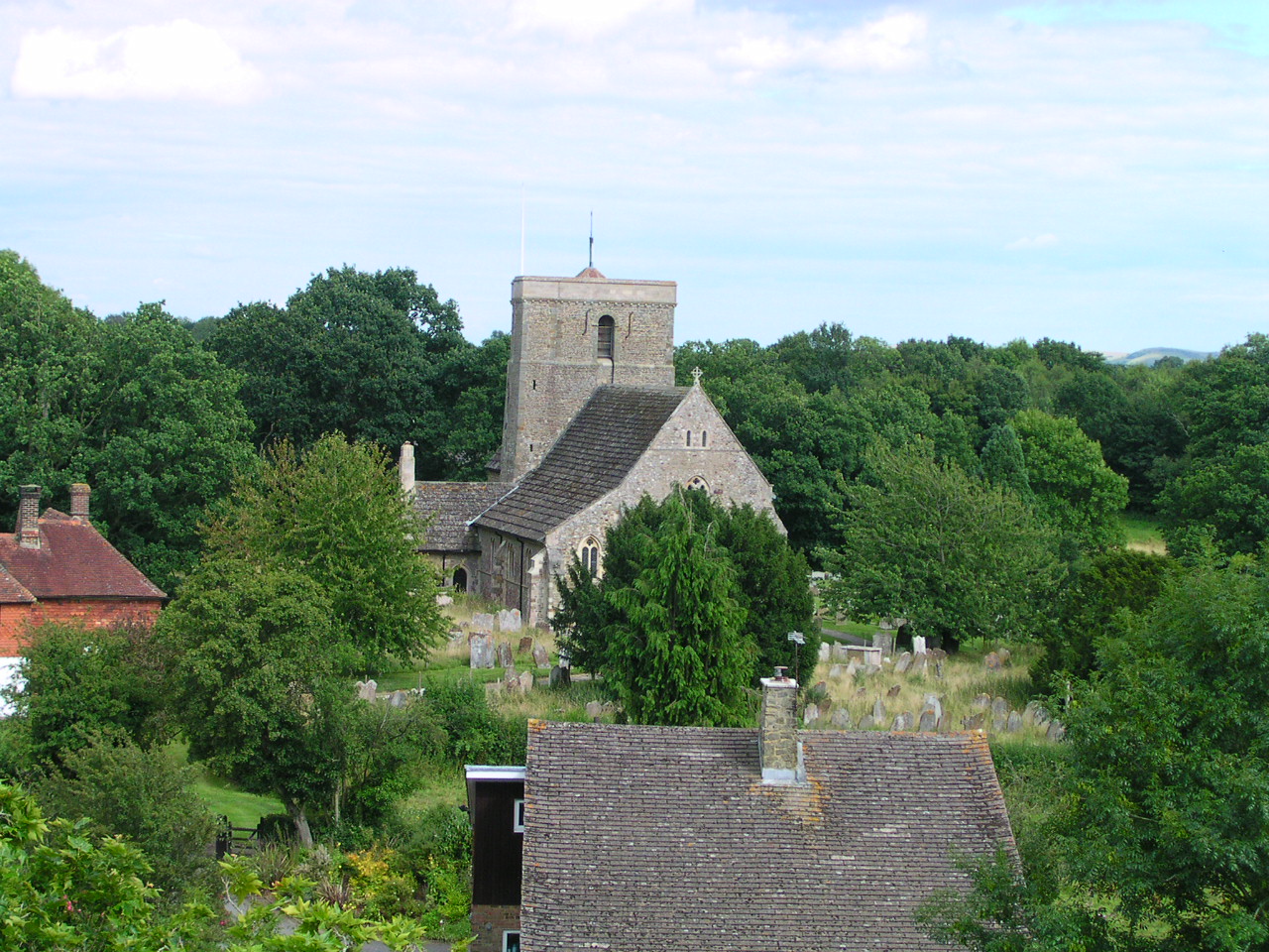
St Mary's Church, Shipley

The Church of St Mary the Virgin is an Anglican church in the village of Shipley, in West Sussex, England. It is in the Diocese of Chichester. Built in...

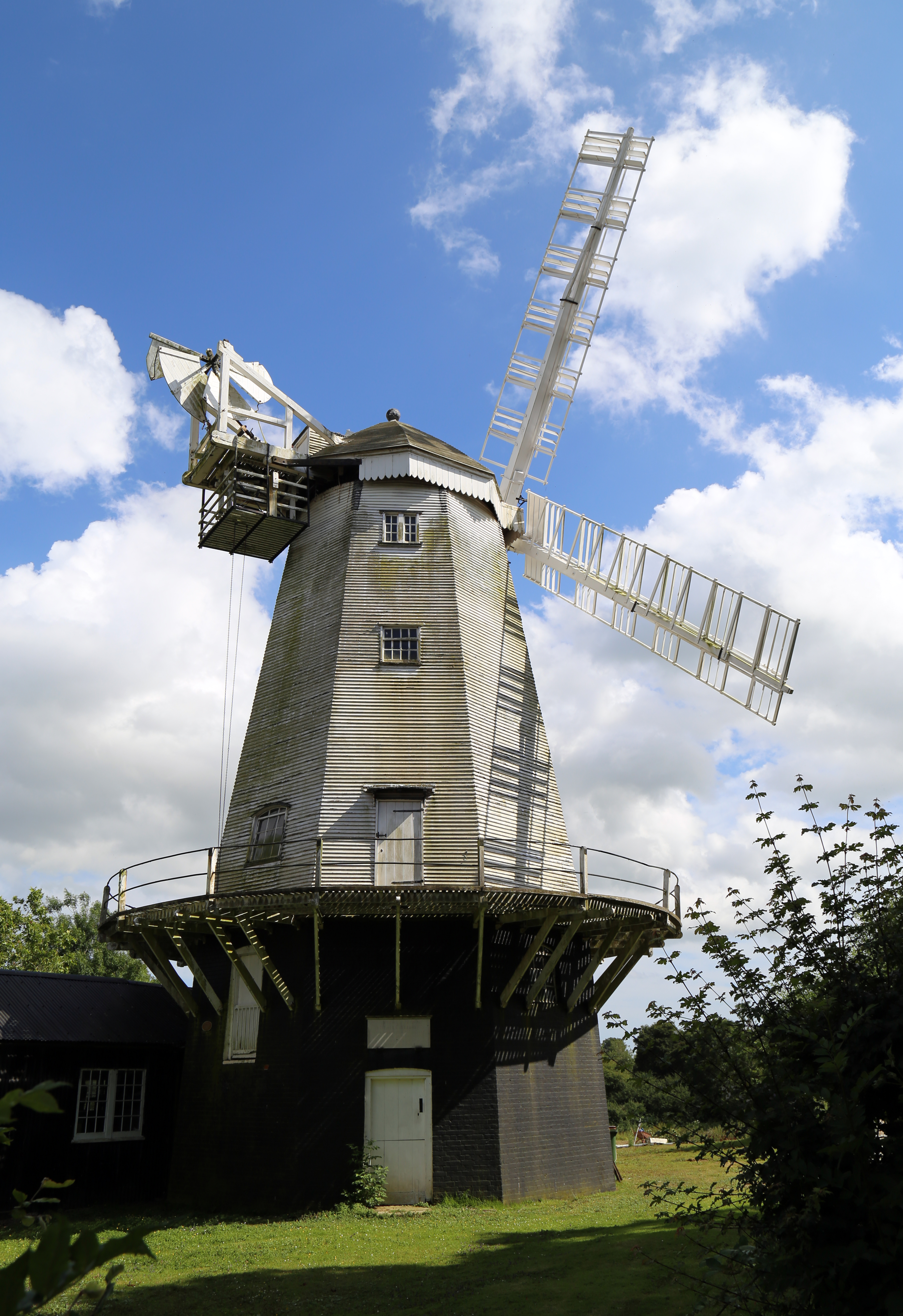
King's Mill, Shipley

King's Mill or Vincent's Mill, Shipley, West Sussex, England, is a smock mill built in 1879. == History == King's Mill was built in 1879 for Friend Martin...

Southwater

Southwater is a large village and civil parish in the Horsham District of West Sussex, England, with a population of roughly 10,000. It is administered...

Southwater railway station

Southwater was a railway station on the Steyning Line which served the village of Southwater. A goods siding allowed for the transportation of coal and...

Nearby Amenities

Located within 500m of 51.001807,-0.35775121
Power: tower
Lat/Long: 50.9995199/-0.35633
Power: tower
Lat/Long: 51.0004885/-0.3606731
Goffsland Farm
Place: farm
Lat/Long: 51.0028104/-0.3631095
Addr Housename: Kate's Hill Cottages
Addr Street: Shipley Road
Lat/Long: 51.004904/-0.358566
Cock's Hill
Place: locality
Lat/Long: 50.9989591/-0.3591857
The data included in this document is from www.openstreetmap.org. The data is made available under ODbL.

Have you been to Hartsgravel Wood?

Leave your review of Hartsgravel Wood below (or comments, questions and feedback).