Eleven Acres
Wood, Forest in Surrey Elmbridge
England
Eleven Acres
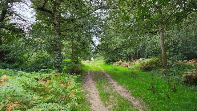
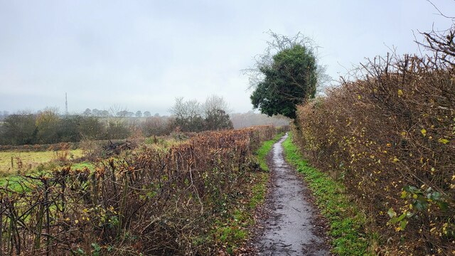
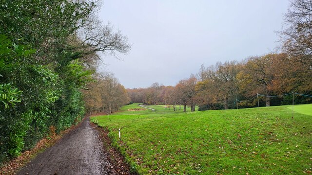
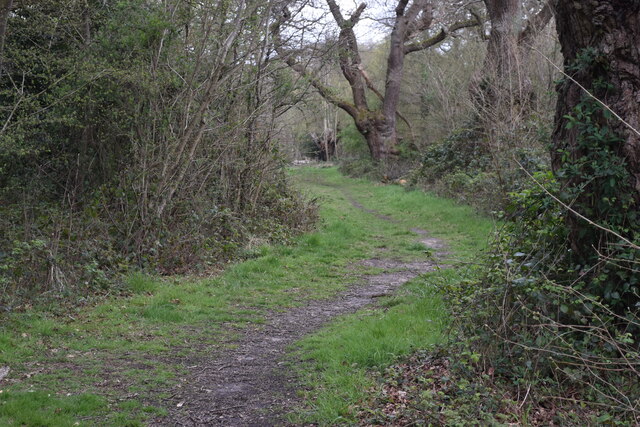
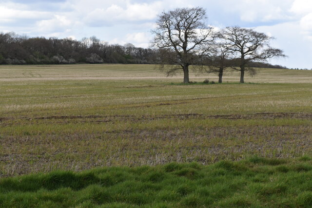
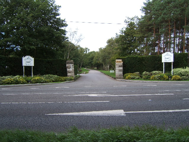
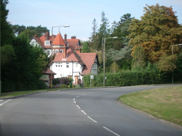
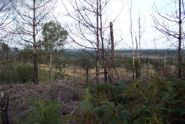
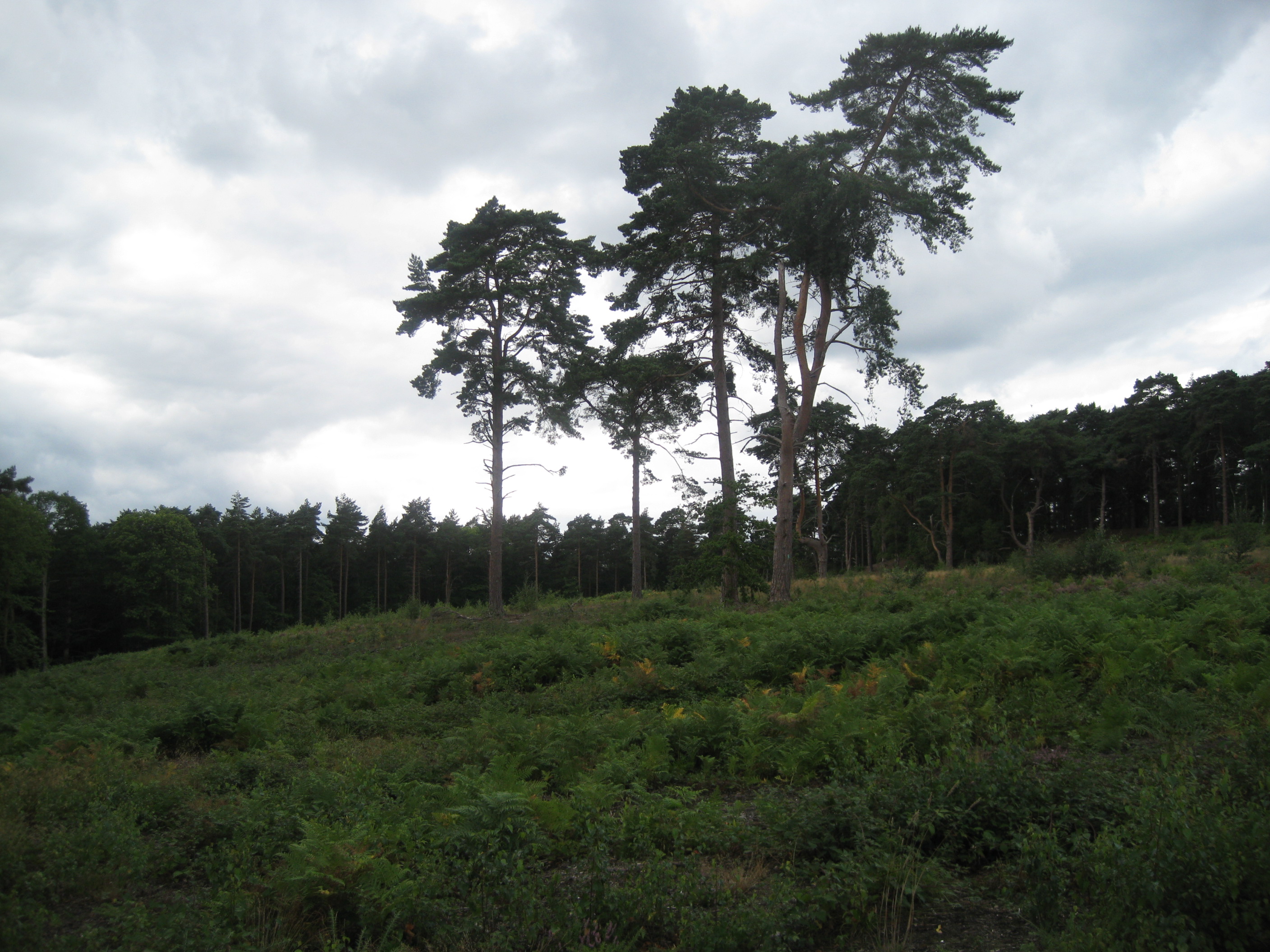
Eleven Acres, Surrey, also known as Wood or Forest, is a picturesque area located in the county of Surrey, England. As the name suggests, it spans across eleven acres of land, making it a relatively small but charming location. The area is characterized by its lush greenery, dense woodland, and serene atmosphere, making it a popular destination for nature lovers and outdoor enthusiasts.
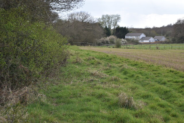
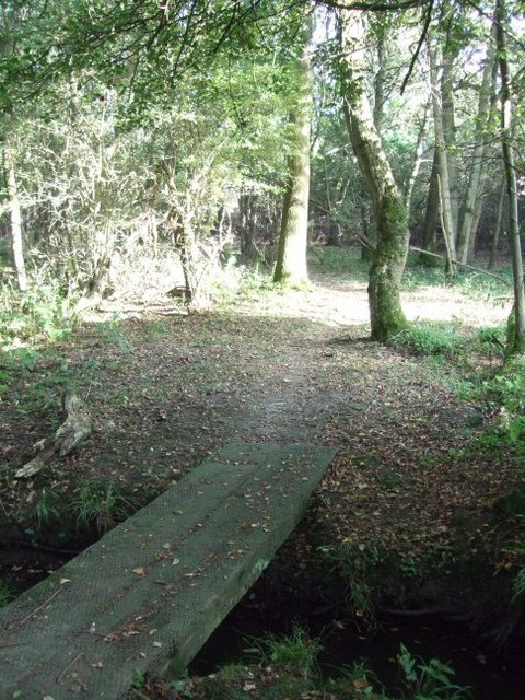
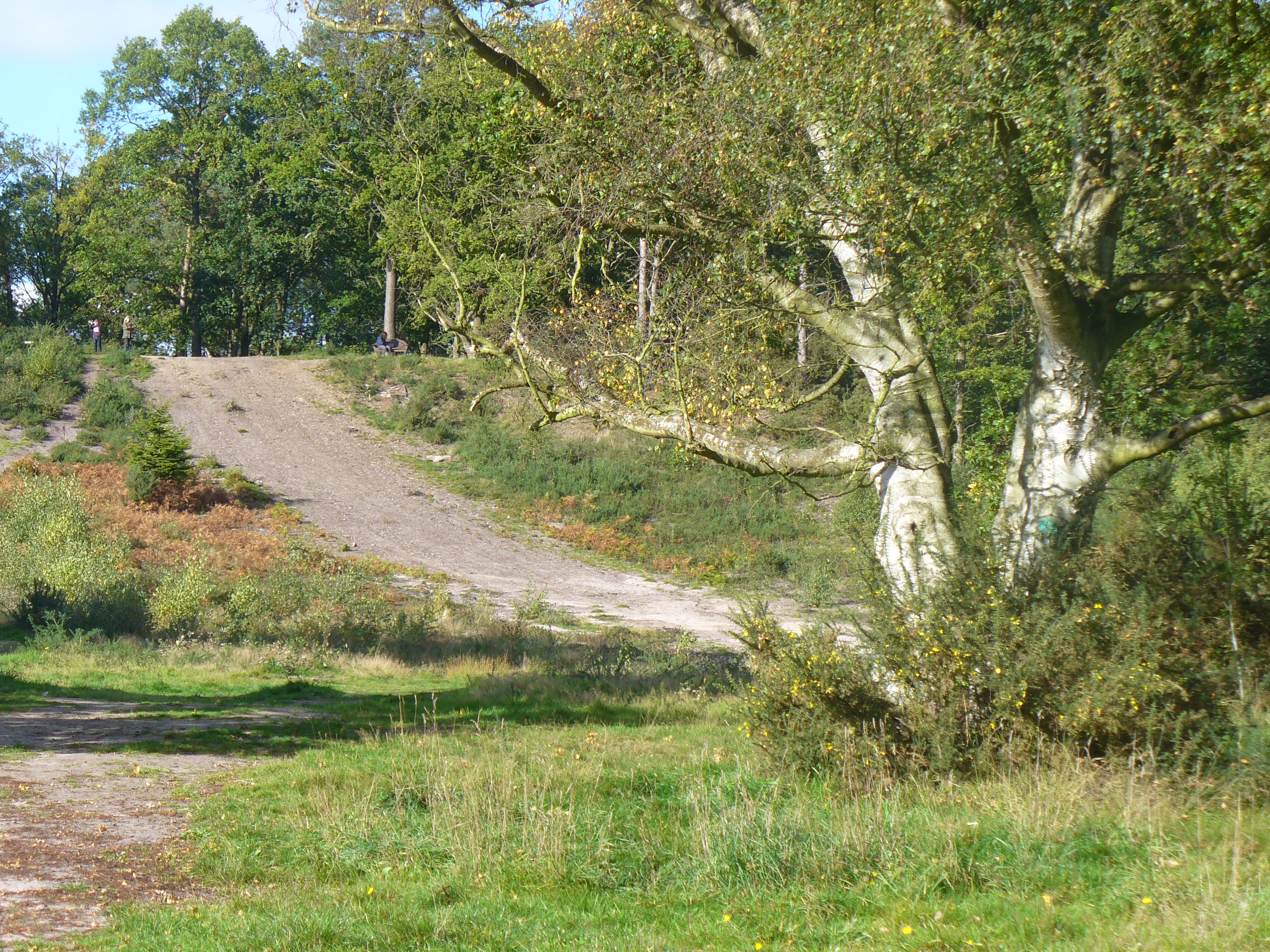
Eleven Acres is home to a diverse range of flora and fauna, including a variety of trees such as oak, beech, and birch. These trees create a dense canopy, providing a shaded and tranquil environment for visitors to enjoy. The forest floor is covered in a carpet of wildflowers during the spring and summer seasons, further enhancing the beauty of the area.
Nature trails and footpaths crisscross the landscape, offering visitors the opportunity to explore and immerse themselves in the natural surroundings. These pathways are well-maintained and suitable for all ages and levels of fitness, making it an ideal destination for leisurely walks or more adventurous hikes.
In addition to its natural beauty, Eleven Acres also boasts a rich history. The area has been inhabited for centuries and is home to a number of archaeological sites. These sites provide insight into the lives of the people who once called this place home, adding an extra layer of intrigue to the area.
Overall, Eleven Acres, Surrey (Wood, Forest) is a small but enchanting location that offers a peaceful retreat from the hustle and bustle of everyday life. With its beautiful woodland, diverse wildlife, and fascinating history, it is a must-visit destination for nature enthusiasts and history buffs alike.
If you have any feedback on the listing, please let us know in the comments section below.
Eleven Acres Images
Images are sourced within 2km of 51.329002/-0.34831449 or Grid Reference TQ1560. Thanks to Geograph Open Source API. All images are credited.


Eleven Acres is located at Grid Ref: TQ1560 (Lat: 51.329002, Lng: -0.34831449)
Administrative County: Surrey
District: Elmbridge
Police Authority: Surrey
What 3 Words
///poker.method.blog. Near Leatherhead, Surrey
Nearby Locations
Related Wikis
Oxshott
Oxshott is a suburban village in the borough of Elmbridge in Surrey, England. Oxshott includes hilly acidic heath which is partly wooded (see Esher Commons...

Prince's Coverts
Prince's Coverts is an area of 864 acres (3.50 km2; 1.350 sq mi) of managed woodland in Oxshott, Surrey, England, to which there is public access. It is...

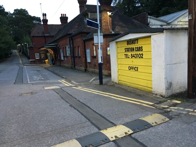
Oxshott railway station
Oxshott railway station serves the village of Oxshott, in Surrey, England. It is 16 miles 79 chains (27.3 km) down the line from London Waterloo. The station...
Colony Bog and Bagshot Heath
Colony Bog and Bagshot Heath is a 1,130.5-hectare (2,794-acre) biological Site of Special Scientific Interest between Camberley and Woking in Surrey, England...
Oxshott Heath and Woods
Oxshott Heath and Woods is an area of woods and heathland in Oxshott, Surrey, England covering approximately 200 acres (81 ha), as an area of common land...

Ashtead Common
Ashtead Common, nearly 495 acres (c. 200 ha), is a wooded area open to the public, to the north of the village of Ashtead in Surrey, England. It is owned...
Malden Rushett
Malden Rushett is a small village in the Royal Borough of Kingston upon Thames, London. It is located at the southernmost tip of the Royal Borough, surrounded...

Reed's School
Reed's School is an independent secondary boarding school for boys with a mixed sixth form located in Cobham, Surrey, England. There are currently around...
Nearby Amenities
Located within 500m of 51.329002,-0.34831449Have you been to Eleven Acres?
Leave your review of Eleven Acres below (or comments, questions and feedback).