Farmbrick Copse

Wood, Forest in Sussex Horsham

England

Farmbrick Copse

New bridleway off Bell Lane The footpath leading south-east off Bell Lane to the old Dorking Road (now sequestered by the A24 dual carriageway) has recently been upgraded to bridleway, no. 3647_1.
New bridleway off Bell Lane Credit: Hugh Craddock

Farmbrick Copse is a charming woodland located in Sussex, England. With an approximate area of 50 acres, it is nestled in the heart of the countryside, surrounded by picturesque landscapes. The copse is known for its diverse range of tree species, creating a vibrant and lush environment.

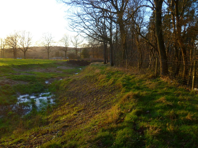
The woodland is predominantly composed of native trees such as oak, beech, and birch, which provide a rich canopy that filters sunlight and creates a cool and tranquil atmosphere. These trees have thrived for centuries, creating a mature and dense forest floor adorned with ferns, wildflowers, and mosses.

Farmbrick Copse is a haven for wildlife, offering a sanctuary for various species of birds, mammals, and insects. Bird enthusiasts can spot a plethora of species, including woodpeckers, nuthatches, and tawny owls. The copse is also home to a variety of mammals, such as foxes, badgers, and deer, which can sometimes be seen grazing peacefully in the early morning or at dusk.

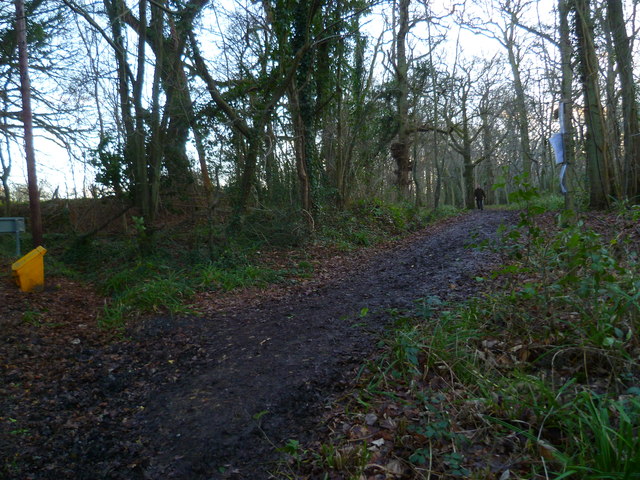
Visitors to Farmbrick Copse can enjoy a peaceful walk along the well-maintained paths that wind through the woodland. These paths offer an opportunity to immerse oneself in nature, breathe in the fresh air, and appreciate the beauty of the surrounding trees and wildlife. The copse is also a popular spot for nature photography, with its enchanting scenery providing countless opportunities for capturing stunning images.

Overall, Farmbrick Copse is a natural gem in Sussex, offering a serene and idyllic escape from the hustle and bustle of everyday life. It is a place where nature thrives, and visitors can reconnect with the beauty and tranquility of the natural world.

If you have any feedback on the listing, please let us know in the comments section below.

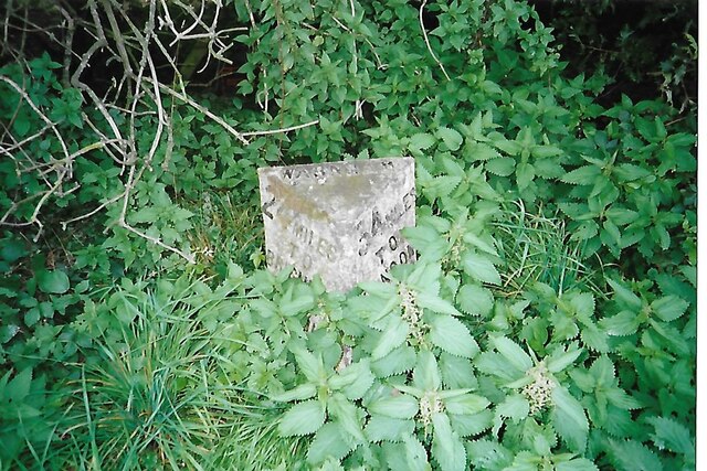
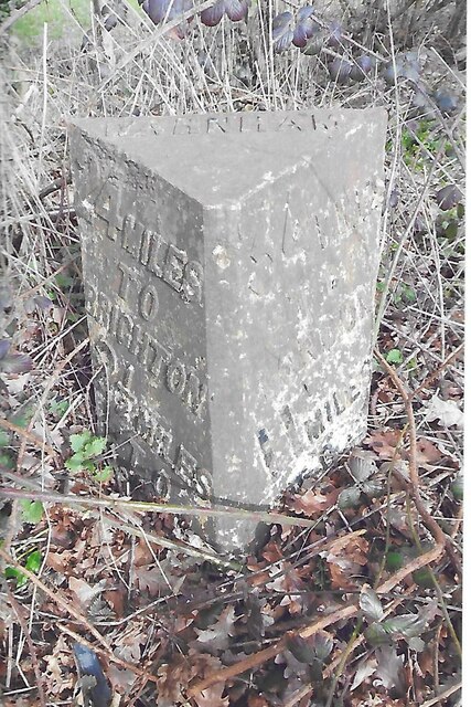
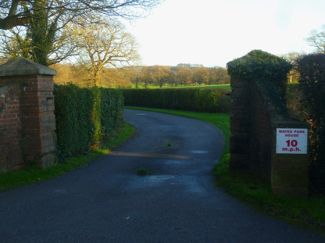
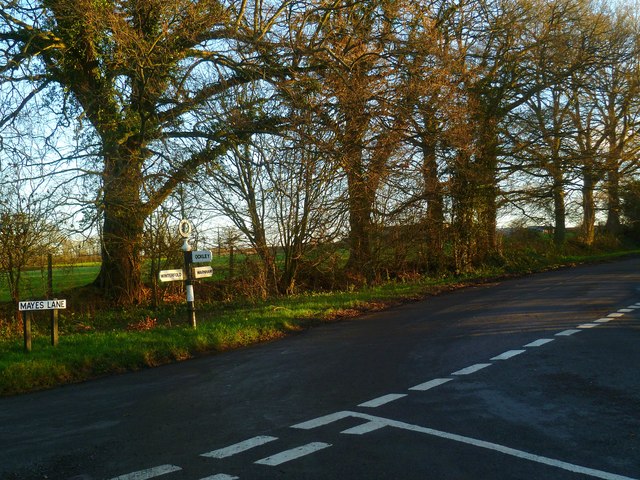
Farmbrick Copse Images

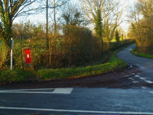
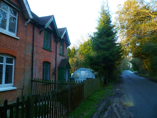
Images are sourced within 2km of 51.086768/-0.35808536 or Grid Reference TQ1533. Thanks to Geograph Open Source API. All images are credited.

New bridleway off Bell Lane The footpath leading south-east off Bell Lane to the old Dorking Road (now sequestered by the A24 dual carriageway) has recently been upgraded to bridleway, no. 3647_1.
New bridleway off Bell Lane
The footpath leading south-east off Bell Lane to the old Dorking Road (now sequestered by the A24 dual carriageway) has recently been upgraded to bridleway, no. 3647_1.
Old Milestone by A24, Andrews Farm The Milestone is located by the road.  Parish of Warnham (Horsham District). Cast iron post, Horsham post design, erected by the Horsham & Dorking turnpike trust in the 19th Century. An earlier photograph can be found here: <a title="https://www.geograph.org.uk/photo/1596429" href="https://www.geograph.org.uk/photo/1596429">Link</a> 

Inscription reads:-  
24 MILES / TO / BRIGHTON / 2½ / TO / HORSHAM : : 34 MILES / TO / LONDON / 11 / MILES TO / DORKING : : WARNHAM  

Milestone Society National ID: SX_LA34
Old Milestone by A24, Andrews Farm
The Milestone is located by the road.  Parish of Warnham (Horsham District). Cast iron post, Horsham post design, erected by the Horsham & Dorking turnpike trust in the 19th Century. An earlier photograph can be found here: Link  Inscription reads:- 24 MILES / TO / BRIGHTON / 2½ / TO / HORSHAM : : 34 MILES / TO / LONDON / 11 / MILES TO / DORKING : : WARNHAM Milestone Society National ID: SX_LA34
Old Milestone by A24, Andrews Farm The Milestone is located by the road.  Parish of Warnham (Horsham District). Cast iron post, Horsham post design, erected by the Horsham & Dorking turnpike trust in the 19th Century. An earlier photograph can be found here: <a title="https://www.geograph.org.uk/photo/7429171" href="https://www.geograph.org.uk/photo/7429171">Link</a> 

Inscription reads:-  
24 MILES / TO / BRIGHTON / 2½ / TO / HORSHAM : : 34 MILES / TO / LONDON / 11 / MILES TO / DORKING : : WARNHAM  

Milestone Society National ID: SX_LA34
Old Milestone by A24, Andrews Farm
The Milestone is located by the road.  Parish of Warnham (Horsham District). Cast iron post, Horsham post design, erected by the Horsham & Dorking turnpike trust in the 19th Century. An earlier photograph can be found here: Link  Inscription reads:- 24 MILES / TO / BRIGHTON / 2½ / TO / HORSHAM : : 34 MILES / TO / LONDON / 11 / MILES TO / DORKING : : WARNHAM Milestone Society National ID: SX_LA34
School Hill, Warnham School Hill in the village of Warnham, in West Sussex
School Hill, Warnham
School Hill in the village of Warnham, in West Sussex
Timber-framed outbuilding at Bailing Hill Farm - with antler trophies Bailing Hill (on the Warnham Park estate) is currently run as a deer farm - hence the antler trophies.  Apart from the smallish trophies fixed to the first-floor frame, notice the huge pair of antlers on the ground at the far end of the building.   <span class="nowrap"><a title="http://www.warnhampark.com/" rel="nofollow ugc noopener" href="http://www.warnhampark.com/">Link</a><img style="margin-left:2px;" alt="External link" title="External link - shift click to open in new window" src="https://s1.geograph.org.uk/img/external.png" width="10" height="10"/></span>
Timber-framed outbuilding at Bailing Hill Farm - with antler trophies
Bailing Hill (on the Warnham Park estate) is currently run as a deer farm - hence the antler trophies. Apart from the smallish trophies fixed to the first-floor frame, notice the huge pair of antlers on the ground at the far end of the building. LinkExternal link
Former school, by Warnham village green A Victorian school building, overlooking the village green from the east.
Former school, by Warnham village green
A Victorian school building, overlooking the village green from the east.
Mid-18th century tombstone, Warnham churchyard The name is JOHN AGATE (if I've read it correctly) and the date July 1748.  The jawless skull is pretty typical of the rather heartless imagery to be found on 18th century tombstones.
Mid-18th century tombstone, Warnham churchyard
The name is JOHN AGATE (if I've read it correctly) and the date July 1748. The jawless skull is pretty typical of the rather heartless imagery to be found on 18th century tombstones.
Entrance to Mayes Park House
Road junction at Pound Corner For another view see <a title="https://www.geograph.org.uk/photo/1852989" href="https://www.geograph.org.uk/photo/1852989">Link</a>.
Road junction at Pound Corner
For another view see Link.
Junction at Pound Corner with pillar box For a better view of the post box see <a title="https://www.geograph.org.uk/photo/1853267" href="https://www.geograph.org.uk/photo/1853267">Link</a>.
Junction at Pound Corner with pillar box
For a better view of the post box see Link.
Dwellings on Northlands Road
Looking west along the edge of Mount Wood
Bridleway goes south from Northlands Road through Benland Wood
Bend on Northlands Road with bridleway junction
Towers on Northlands Road Shame about all the cables.  For another view and some information see <a title="https://www.geograph.org.uk/photo/4043481" href="https://www.geograph.org.uk/photo/4043481">Link</a>.
Towers on Northlands Road
Shame about all the cables. For another view and some information see Link.
Footpath reaches the A29 from the east near Rowhook Manor See also <a title="https://www.geograph.org.uk/photo/4051899" href="https://www.geograph.org.uk/photo/4051899">Link</a>.
Footpath reaches the A29 from the east near Rowhook Manor
See also Link.
Bridge over North River south of Westbrook Hall See <a title="https://www.geograph.org.uk/photo/2073284" href="https://www.geograph.org.uk/photo/2073284">Link</a> for an earlier view.
Bridge over North River south of Westbrook Hall
See Link for an earlier view.
Footpath with junction goes east near New Barn
Show me another place!

Farmbrick Copse is located at Grid Ref: TQ1533 (Lat: 51.086768, Lng: -0.35808536)

Administrative County: West Sussex

District: Horsham

Police Authority: Sussex

What 3 Words

///irrigate.codes.energetic. Near Warnham, West Sussex

Related Wikis

Warnham

Warnham is a village and civil parish in the Horsham district of West Sussex, England. The village is centred 2 miles (3.2 km) north-northwest of Horsham...

Field Place, Warnham

Field Place is a Grade I listed house in Warnham, West Sussex, England. It is the birthplace of the poet Percy Bysshe Shelley, born there in 1792. The...

Warnham & Rusper (electoral division)

Warnham & Rusper is an electoral division of West Sussex in the United Kingdom and returns one member to sit on West Sussex County Council. The current...

E. Tredcroft's Ground

E. Tredcroft's Ground was a cricket ground at the Warnham Court estate, located at Horsham, Sussex. The first recorded match on the ground was in 1851...

Nearby Amenities

Located within 500m of 51.086768,-0.35808536
Barrier: kissing_gate
Foot: yes
Lat/Long: 51.0830291/-0.3541858
Bailing Hill Farm
Place: farm
Lat/Long: 51.0832195/-0.355074
Post Box
Brand: Royal Mail
Brand Wikidata: Q638098
Collection Times: Mo-Fr 09:00; Sa 07:00
Operator: Royal Mail
Operator Wikidata: Q638098
Post Box Mounting: telegraph_pole
Post Box Type: lamp
Ref: RH12 188D
Royal Cypher: GVIR
Royal Cypher Wikidata: Q33102169
Source: survey
Lat/Long: 51.0891823/-0.3541857
The data included in this document is from www.openstreetmap.org. The data is made available under ODbL.

Have you been to Farmbrick Copse?

Leave your review of Farmbrick Copse below (or comments, questions and feedback).