Henhouse Copse
Wood, Forest in Sussex Horsham
England
Henhouse Copse

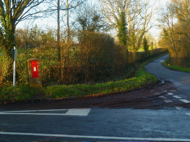
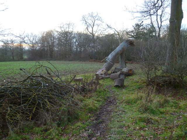
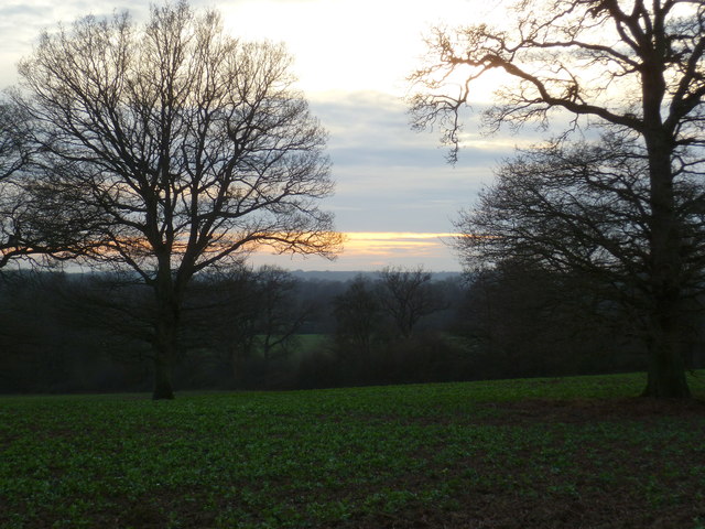
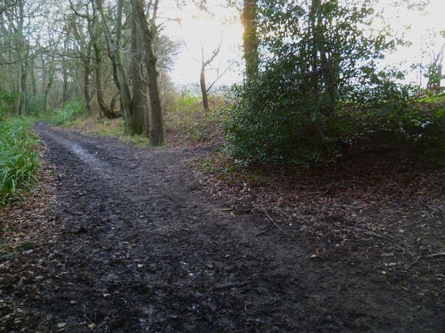
Henhouse Copse is a small woodland area located in Sussex, England. Covering an area of approximately 10 acres, it is situated near the village of Henhouse, hence its name. The copse is predominantly composed of deciduous trees, including oak, ash, and beech, creating a vibrant and diverse ecosystem.
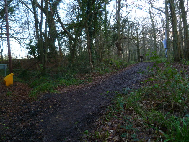
The woodland features a dense canopy that provides shade and shelter for a variety of wildlife. Numerous species of birds can be found here, including woodpeckers, thrushes, and warblers, making it a popular spot for birdwatchers. The ground beneath the trees is covered in a thick layer of leaf litter, providing a habitat for small mammals such as squirrels, mice, and voles.
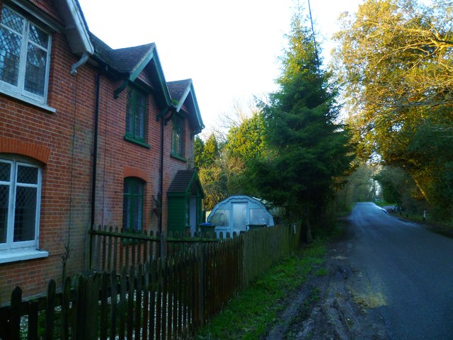
Walking through Henhouse Copse, visitors can enjoy a peaceful and serene atmosphere. The sound of rustling leaves and birdsong fills the air, creating a calming ambience. The copse is crisscrossed by a network of narrow footpaths, allowing visitors to explore the woodland and discover its hidden treasures.
In spring, the woodland comes alive with a burst of color as wildflowers bloom across the forest floor. Bluebells, primroses, and cowslips create a carpet of vibrant hues, attracting insects and butterflies. The diversity of plant life in Henhouse Copse also extends to various fungi species, with mushrooms and toadstools appearing during the wetter months.
Overall, Henhouse Copse offers a delightful natural retreat for nature enthusiasts and those seeking solace in the beauty of the Sussex countryside.
If you have any feedback on the listing, please let us know in the comments section below.
Henhouse Copse Images
Images are sourced within 2km of 51.085496/-0.35074855 or Grid Reference TQ1533. Thanks to Geograph Open Source API. All images are credited.


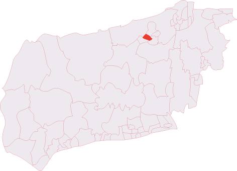
Henhouse Copse is located at Grid Ref: TQ1533 (Lat: 51.085496, Lng: -0.35074855)
Administrative County: West Sussex
District: Horsham
Police Authority: Sussex
What 3 Words
///zipped.siesta.following. Near Warnham, West Sussex
Nearby Locations
Related Wikis

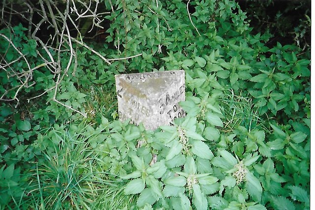
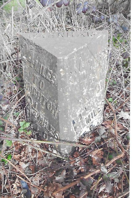
Warnham
Warnham is a village and civil parish in the Horsham district of West Sussex, England. The village is centred 2 miles (3.2 km) north-northwest of Horsham...

E. Tredcroft's Ground
E. Tredcroft's Ground was a cricket ground at the Warnham Court estate, located at Horsham, Sussex. The first recorded match on the ground was in 1851...

Warnham & Rusper (electoral division)
Warnham & Rusper is an electoral division of West Sussex in the United Kingdom and returns one member to sit on West Sussex County Council. The current...

Field Place, Warnham
Field Place is a Grade I listed house in Warnham, West Sussex, England. It is the birthplace of the poet Percy Bysshe Shelley, born there in 1792. The...

Warnham LNR
Warnham LNR is a 38.4-hectare (95-acre) Local Nature Reserve in Horsham in West Sussex. It is owned and managed by Horsham District Council.The principal...

Broadbridge Heath
Broadbridge Heath is a village and civil parish in the Horsham district of West Sussex, England. It is about two miles (3 km) west from the historic centre...

Warnham railway station
Warnham railway station serves the village of Warnham in West Sussex, England. It is 33 miles 46 chains (54.0 km) measured from London Waterloo (although...
Horsham Hurst (electoral division)
Horsham Hurst is an electoral division of West Sussex in the United Kingdom and returns one member to sit on West Sussex County Council. == Extent == The...
Nearby Amenities
Located within 500m of 51.085496,-0.35074855Have you been to Henhouse Copse?
Leave your review of Henhouse Copse below (or comments, questions and feedback).