Roundabouts Plantation

Wood, Forest in Hertfordshire North Hertfordshire

England

Roundabouts Plantation

Fields near Bendish from the air A footpath through the middle of a sown field, unheard of in Scotland from where the flight to Luton took off less than an hour ago.
Fields near Bendish from the air Credit: Thomas Nugent

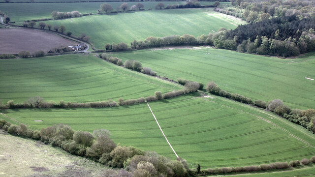
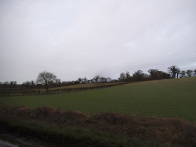
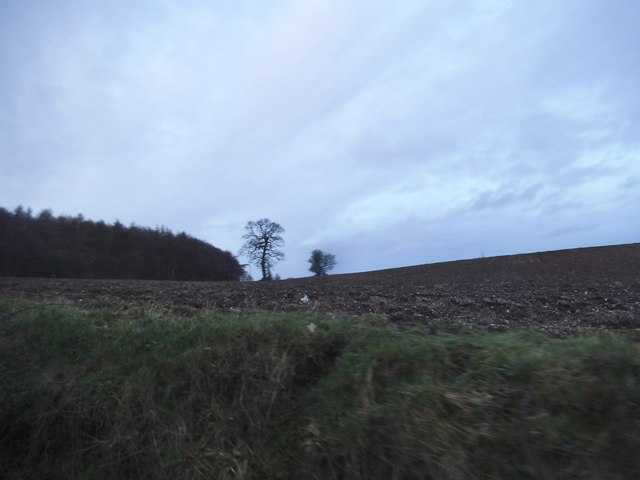
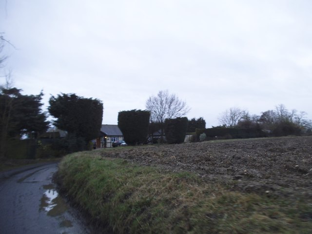
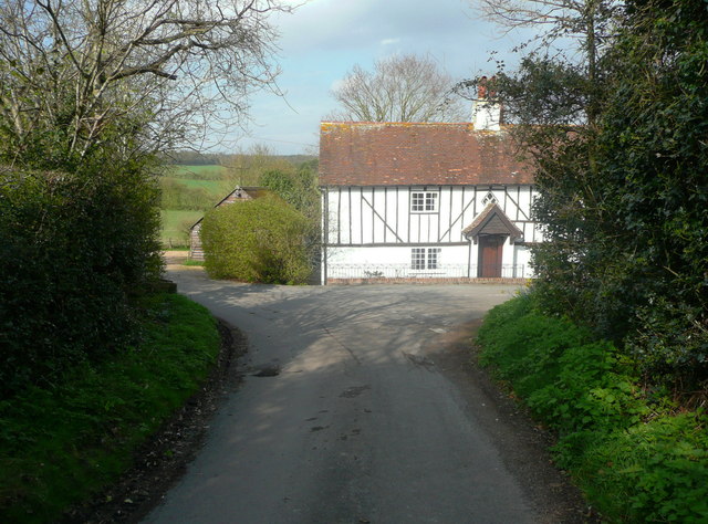
Roundabouts Plantation is a scenic woodland area located in Hertfordshire, England. Covering a vast expanse, it is a popular destination for nature enthusiasts and locals alike. The plantation is named after the abundance of roundabouts found within its boundaries, which adds to its unique charm.

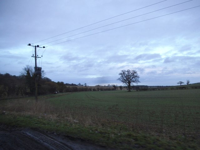
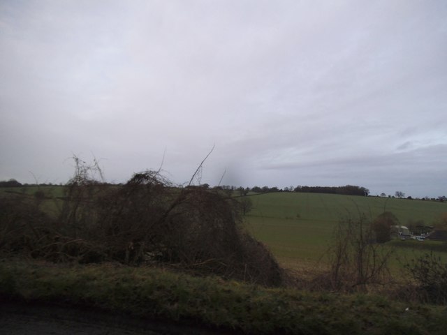
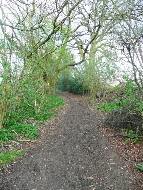
Situated in the heart of Hertfordshire, Roundabouts Plantation boasts a diverse range of tree species, including oak, beech, and birch. The woodland is well-preserved and offers a picturesque setting for leisurely walks, picnics, and recreational activities. The dense canopy provides a peaceful atmosphere, ideal for relaxation and escaping the hustle and bustle of city life.

The plantation is home to an array of wildlife, making it a haven for nature lovers. Visitors may spot various species of birds, such as woodpeckers, thrushes, and owls, as well as smaller mammals like squirrels and rabbits. The natural habitat offers an opportunity for birdwatching and wildlife observation.

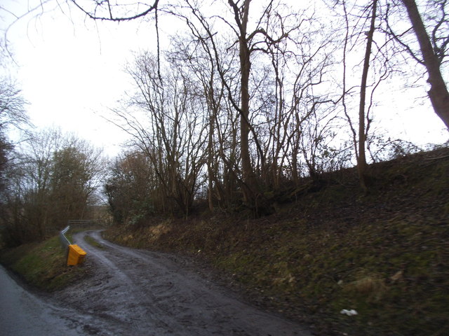
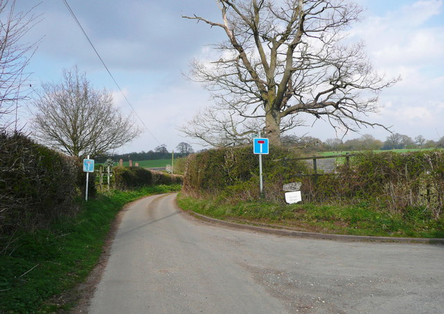
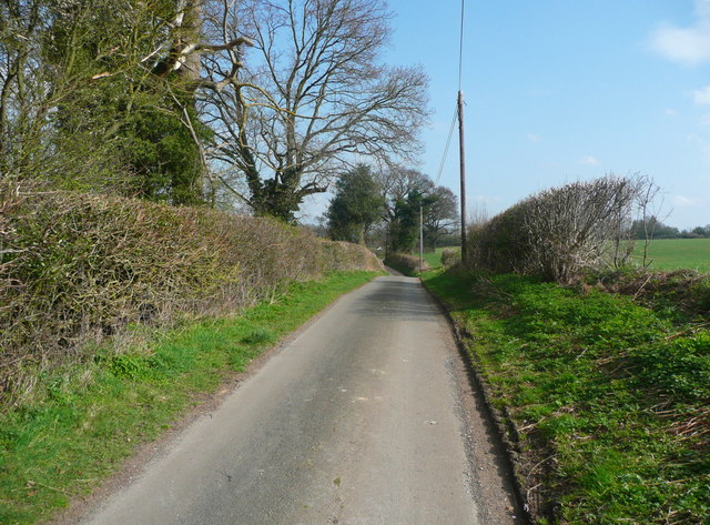
Roundabouts Plantation is easily accessible, with well-maintained footpaths and trails for visitors to explore. The woodland is also equipped with seating areas and picnic spots, allowing visitors to immerse themselves in the tranquil surroundings.

Additionally, the plantation offers educational opportunities, with guided tours and programs available for schools and organizations. These initiatives aim to promote environmental awareness and conservation efforts among the younger generation.

Overall, Roundabouts Plantation in Hertfordshire is a beloved destination for nature enthusiasts, offering a serene escape amidst the beauty of a well-preserved woodland habitat.

If you have any feedback on the listing, please let us know in the comments section below.

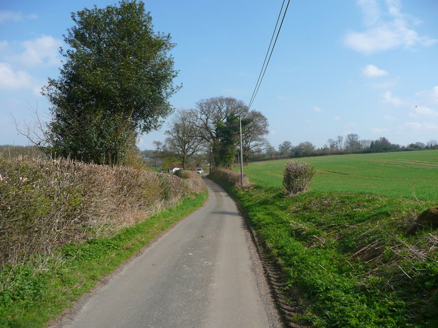
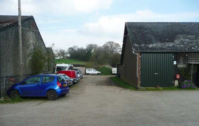
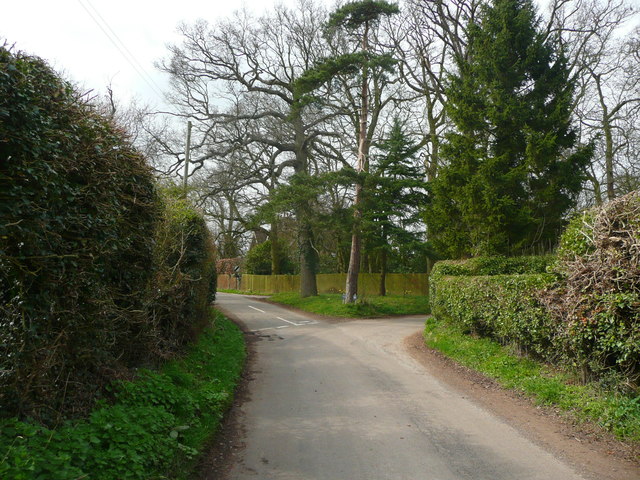
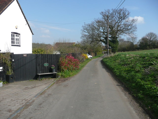
Roundabouts Plantation Images

Images are sourced within 2km of 51.895797/-0.32876055 or Grid Reference TL1523. Thanks to Geograph Open Source API. All images are credited.

Fields near Bendish from the air A footpath through the middle of a sown field, unheard of in Scotland from where the flight to Luton took off less than an hour ago.
Fields near Bendish from the air
A footpath through the middle of a sown field, unheard of in Scotland from where the flight to Luton took off less than an hour ago.
Minor Road Approaching Tea Green A small rural village in the Chiltern Hills.
Minor Road Approaching Tea Green
A small rural village in the Chiltern Hills.
Crouchmoor Farm near Tea Green
Lilley Bottom
Lilley Bottom
Fields by Lilley Bottom
Track to the sewage works in Breachwood Green It's a strange and unsigned entrance and clearly incapable of carrying anything but the smallest vehicles.
Track to the sewage works in Breachwood Green
It's a strange and unsigned entrance and clearly incapable of carrying anything but the smallest vehicles.
Field by Lower Road, Breachwood Green
Field by Lilley Bottom, King's Walden
Field by Pasture Lane, Breachwood Green Greathouse Wood is on the left
Field by Pasture Lane, Breachwood Green
Greathouse Wood is on the left
Pasture Lane, Breachwood Green
The lane to Stopsley Holes Farm, Kings Walden A signpost indicates that this is a public road leading to public footpaths.
The lane to Stopsley Holes Farm, Kings Walden
A signpost indicates that this is a public road leading to public footpaths.
Lane to Ley Green, Kings Walden
Stopsley Holes Farm, Kings Walden The public footpath goes straight on between the buildings.
Stopsley Holes Farm, Kings Walden
The public footpath goes straight on between the buildings.
Triangular road junction, Ley Green, Kings Walden A 'grass triangle' with trees.
Triangular road junction, Ley Green, Kings Walden
A 'grass triangle' with trees.
Lane to Ley Green, Kings Walden The hamlet is now in sight, and the first house is on the left.
Lane to Ley Green, Kings Walden
The hamlet is now in sight, and the first house is on the left.
The former Crown public house, Ley Green, Kings Walden The building is listed, Grade II.
The former Crown public house, Ley Green, Kings Walden
The building is listed, Grade II.
Footpath at Stopsley Holes This looks like an old lane, sunken in places, but the 1880 1:2500 map shows that it only led to a field and a field path, as it does now.
Footpath at Stopsley Holes
This looks like an old lane, sunken in places, but the 1880 1:2500 map shows that it only led to a field and a field path, as it does now.
Show me another place!

Roundabouts Plantation is located at Grid Ref: TL1523 (Lat: 51.895797, Lng: -0.32876055)

Administrative County: Hertfordshire

District: North Hertfordshire

Police Authority: Hertfordshire

What 3 Words

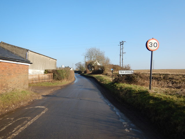
///jazz.unloaded.cabs. Near Kimpton, Hertfordshire

Related Wikis

Breachwood Green Mill, King's Walden

Breachwood Green Mill is a Grade II listed tower mill at King's Walden, Hertfordshire, England which has been converted to residential accommodation....

King's Walden

King's Walden is a civil parish in the English county of Hertfordshire. The name includes an apostrophe, but this is often omitted. The main settlement...

Bendish

Bendish is a hamlet located in the parish of St Paul's Walden in Hertfordshire. In the 18th century, Bendish was a small town. It is about 3 miles east...

Wigmore, Luton

Wigmore is a suburb of Luton about 2 miles (3.2 km) east north-east of the town centre, and a ward of the Borough of Luton, in the ceremonial county of...

Nearby Amenities

Located within 500m of 51.895797,-0.32876055
Roundabouts Plantation
Local Ref: NR
Naptan AtcoCode: 210021100310
Naptan Bearing: NE
Naptan BusStopType: CUS
Naptan CommonName: Roundabouts Plantation
Naptan Crossing: Lilley Bottom
Naptan Indicator: nr
Naptan Landmark: Lilley Bottom
Naptan NaptanCode: hrtgmdpa
Naptan ShortCommonName: NA
Naptan Street: Church Road
Naptan Verified: no
Source: naptan_import
Lat/Long: 51.8954/-0.3255047
Roundabouts Plantation
Naptan AtcoCode: 210021107865
Naptan Bearing: SW
Naptan BusStopType: CUS
Naptan CommonName: Roundabouts Plantation
Naptan Crossing: opp Lilley Bottom
Naptan Indicator: opp
Naptan Landmark: opp Lilley Bottom
Naptan NaptanCode: hrtgjdmj
Naptan ShortCommonName: NA
Naptan Street: Church Road
Naptan Verified: no
Source: naptan_import
Lat/Long: 51.8955491/-0.3252375
Colour: red
Marker: post
Material: concrete
Utility: gas
Lat/Long: 51.8962044/-0.3245132
Colour: red and white
Marker: aerial
Material: plastic
Utility: power
Lat/Long: 51.8962043/-0.3245091
Colour: red
Marker: post
Material: plastic
Utility: power
Lat/Long: 51.896262/-0.3245743
Colour: yellow
Inscription: GAS PIPELINE CP
Marker: post
Material: concrete
Utility: gas
Lat/Long: 51.8935081/-0.3280949
The data included in this document is from www.openstreetmap.org. The data is made available under ODbL.

Have you been to Roundabouts Plantation?

Leave your review of Roundabouts Plantation below (or comments, questions and feedback).