Tompkins Spring

Wood, Forest in Hertfordshire St. Albans

England

Tompkins Spring

Sandridge : Heartwood Forest
Sandridge : Heartwood Forest Credit: Jim Osley

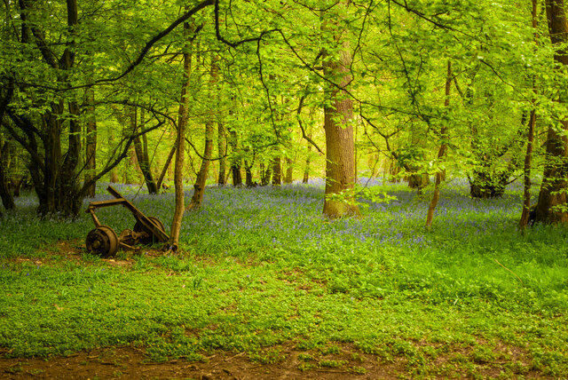
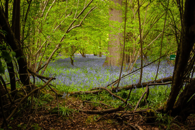
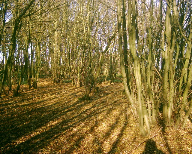
Tompkins Spring, located in Hertfordshire, England, is a picturesque woodland area known for its stunning natural beauty and serene atmosphere. The spring, which is nestled within a lush forest, is a popular destination for nature enthusiasts and hikers seeking a tranquil escape from the bustling city life.

The woodland at Tompkins Spring is characterized by its dense canopy of towering trees, providing ample shade and a cool, refreshing environment even during the hottest summer months. The forest floor is covered with a rich carpet of moss, ferns, and wildflowers, creating a vibrant and diverse ecosystem. The area is home to a variety of native flora and fauna, including oak, beech, and birch trees, as well as numerous bird species, small mammals, and insects.

One of the main attractions at Tompkins Spring is the natural spring itself, which bubbles up from the ground and forms a small, crystal-clear stream that meanders through the woods. The tranquil sound of trickling water adds to the peaceful ambiance of the forest, making it a perfect spot for relaxation and contemplation.

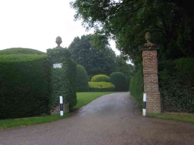
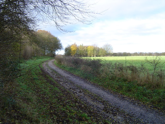
Visitors to Tompkins Spring can enjoy a range of outdoor activities, such as hiking along the well-maintained trails that wind through the woodland, picnicking in designated areas, or simply taking a leisurely stroll and immersing themselves in the beauty of nature. The area is also a haven for wildlife enthusiasts and photographers, offering ample opportunities to capture the natural wonders that abound.

Overall, Tompkins Spring in Hertfordshire is a true gem, providing visitors with a serene and enchanting environment where they can connect with nature and experience the peacefulness of the forest.

If you have any feedback on the listing, please let us know in the comments section below.

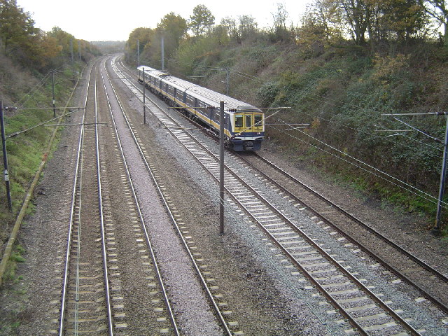
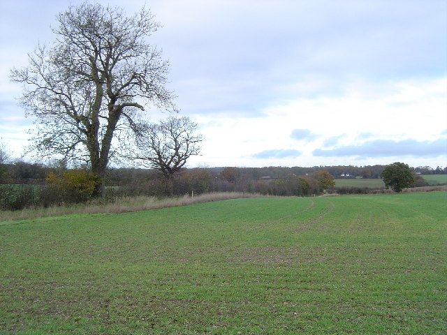
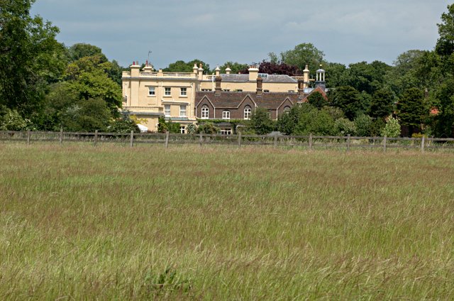
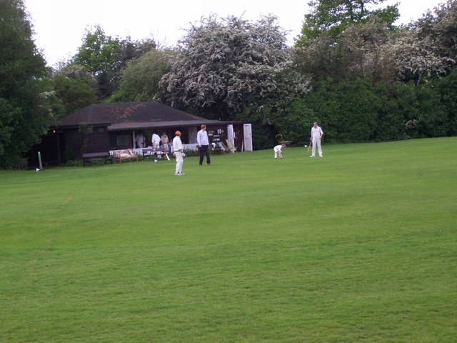
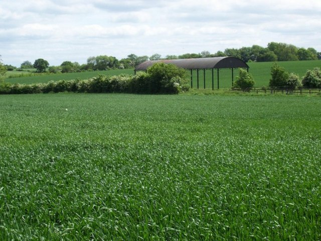
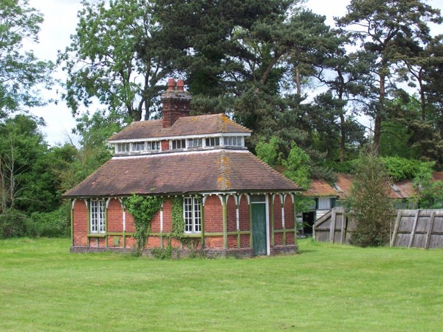
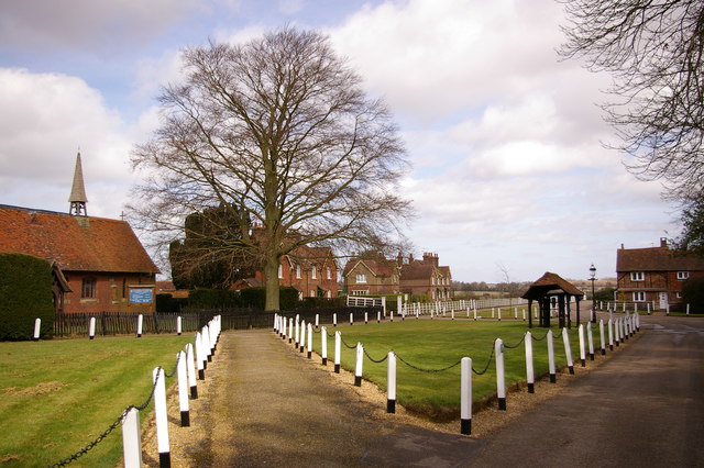
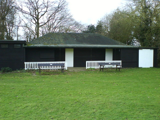
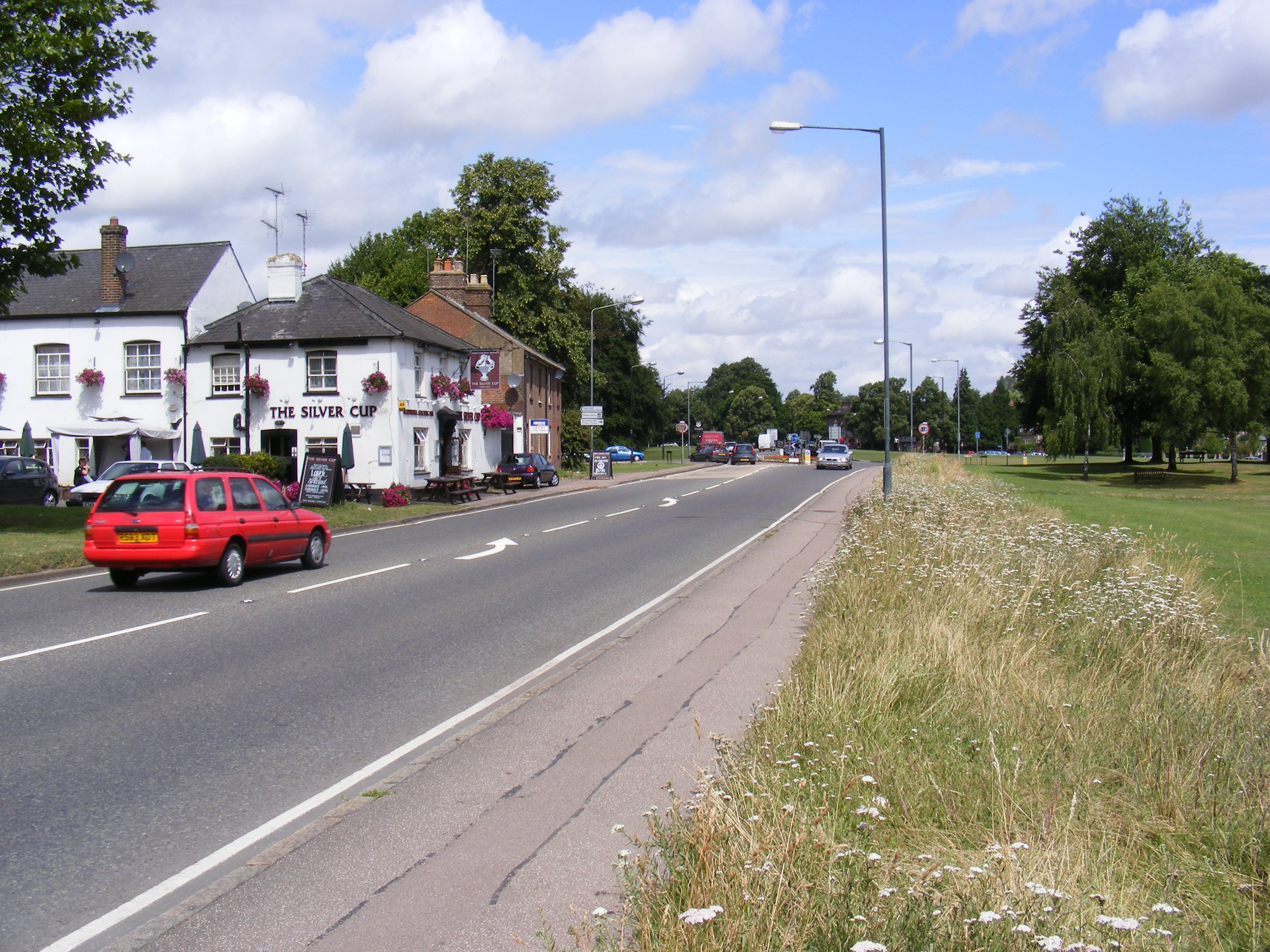
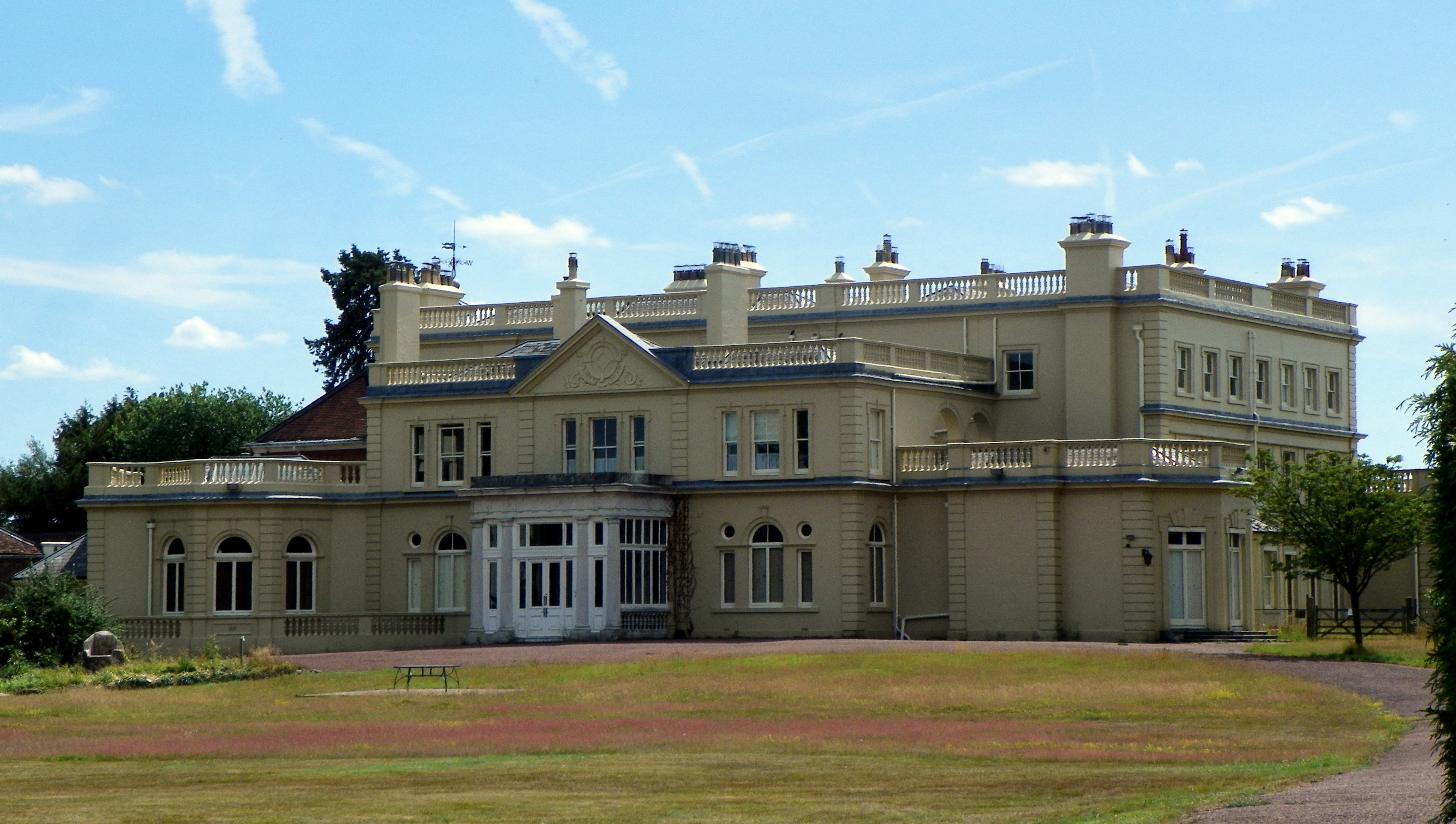
Tompkins Spring Images

Images are sourced within 2km of 51.779613/-0.33565176 or Grid Reference TL1410. Thanks to Geograph Open Source API. All images are credited.

Sandridge : Heartwood Forest
Sandridge : Heartwood Forest bluebells
Entrance gates, Sandridgebury Entrance gate on the lane leading to Sandridgebury Farm, though not the entrance to the farm.
Entrance gates, Sandridgebury
Entrance gate on the lane leading to Sandridgebury Farm, though not the entrance to the farm.
Sandridge: Bridleway The bridleway from Sandridge to Ayres End Lane viewed looking north westwards with the coppiced hornbeam Langley Wood to the left.
Sandridge: Bridleway
The bridleway from Sandridge to Ayres End Lane viewed looking north westwards with the coppiced hornbeam Langley Wood to the left.
Sandridge: Well Wood Viewed looking northwards with Well Wood to the left, the landowner has, as part of the Countryside Stewardship scheme, kindly granted permissive footpaths along the field edges, and this is one of them.
Sandridge: Well Wood
Viewed looking northwards with Well Wood to the left, the landowner has, as part of the Countryside Stewardship scheme, kindly granted permissive footpaths along the field edges, and this is one of them.
Railway line between St Albans and Harpenden Viewed looking southwards from Cheapside Farm bridge, a northbound Thameslink train approaches. This is the main railway line from London to Luton, Bedford, Kettering, Leicester, and Nottingham.
Railway line between St Albans and Harpenden
Viewed looking southwards from Cheapside Farm bridge, a northbound Thameslink train approaches. This is the main railway line from London to Luton, Bedford, Kettering, Leicester, and Nottingham.
Farmland twixt St Albans and Harpenden Viewed looking northwards from the track to Cheapside Farm.
Farmland twixt St Albans and Harpenden
Viewed looking northwards from the track to Cheapside Farm.
Childwickbury Manor House Childwickbury manor, formerly Stanley Kubrick's house.
Childwickbury Manor House
Childwickbury manor, formerly Stanley Kubrick's house.
Coppicing This is a section of coppice within Langley Wood. The wood is accessible from the adjacent footpath.
Coppicing
This is a section of coppice within Langley Wood. The wood is accessible from the adjacent footpath.
Cricket near the pub At the northern edge of the square the small building marked on the public footpath across the road from the pub is a cricket pavilion. Oddly, the cricket pitch seems to be in the middle of a golf course.
Cricket near the pub
At the northern edge of the square the small building marked on the public footpath across the road from the pub is a cricket pavilion. Oddly, the cricket pitch seems to be in the middle of a golf course.
Bridge over railway line Looking west along the road from Ayre's End to the A1081, as it crosses the railway south of Harpenden. To the right of the bridge a warning sign about the railway's live overhead wires is just visible.
Bridge over railway line
Looking west along the road from Ayre's End to the A1081, as it crosses the railway south of Harpenden. To the right of the bridge a warning sign about the railway's live overhead wires is just visible.
Barn among fields The isolated building marked on the 1:50,000 OS map at around TL145113 is this barn. Photograph taken looking South East from a heavily overgrown footpath.
Barn among fields
The isolated building marked on the 1:50,000 OS map at around TL145113 is this barn. Photograph taken looking South East from a heavily overgrown footpath.
Houses near Beesonend These 3 large houses stand on the south side of the B road shortly after you turn off the A1081 towards Redbournbury.
Houses near Beesonend
These 3 large houses stand on the south side of the B road shortly after you turn off the A1081 towards Redbournbury.
Strange little building This unusual little building stands in the grounds of Beesonend Farm House. I've classified it as a shed, but I'm sure there is - or at least was - more to it than that.
Strange little building
This unusual little building stands in the grounds of Beesonend Farm House. I've classified it as a shed, but I'm sure there is - or at least was - more to it than that.
Childwick Green St Mary's Church, on the left, was designed by Sir George Gilbert Scott and built in 1867
Childwick Green
St Mary's Church, on the left, was designed by Sir George Gilbert Scott and built in 1867
Three Horseshoes Public House Situated at East Common Harpenden overlooking Bamville Cricket Club and the golf course
Three Horseshoes Public House
Situated at East Common Harpenden overlooking Bamville Cricket Club and the golf course
Cricket Pavilion Bamville Cricket Club pavilion
Cricket Pavilion
Bamville Cricket Club pavilion
Empty oil train heads down the Midland main line Oil empties for Immingham head down the Midland main line nr Harpenden. These empties had come from the former oil depot at Langley and were returning to Lindsey oil depot at Immingham. This was a daily working but the Langley oil depot has now closed and is no longer rail served.
Empty oil train heads down the Midland main line
Oil empties for Immingham head down the Midland main line nr Harpenden. These empties had come from the former oil depot at Langley and were returning to Lindsey oil depot at Immingham. This was a daily working but the Langley oil depot has now closed and is no longer rail served.
Show me another place!

Tompkins Spring is located at Grid Ref: TL1410 (Lat: 51.779613, Lng: -0.33565176)

Administrative County: Hertfordshire

District: St. Albans

Police Authority: Hertfordshire

What 3 Words

///warm.really.weeks. Near St Albans, Hertfordshire

Related Wikis

St Albans City and District

St Albans (), commonly known as the City and District of St Albans, is a local government district with city status in Hertfordshire, England. Its council...

A1081 road

The A1081 is a road in the south of England. It starts at Luton Airport in Bedfordshire and runs to High Barnet in Greater London via Harpenden, St Albans...

Townsend Church of England School

Townsend Church of England School is a voluntary aided secondary school based in St Albans, Hertfordshire, England. The students attending are aged between...

Childwickbury Manor

Childwickbury Manor is a manor house in the hamlet of Childwickbury, Hertfordshire, England, between St Albans and Harpenden. == History == The Lomax family...

Childwickbury

Childwickbury is a hamlet in Hertfordshire, England, lying to the north of St Albans in the parish of St Michael. Childwickbury Manor was home to Stanley...

St Albans Girls' School

St Albans Girls' School, usually referred to as STAGS, is a girls' secondary school in St Albans, Hertfordshire. It was formerly known as "St Albans Girls...

Beech Bottom Dyke

Beech Bottom Dyke, is a large ditch running for almost a mile at the northern edge of St Albans, Hertfordshire flanked by banks on both sides. It is up...

Heartwood Forest

Heartwood Forest is a planned forest (woodland creation site) in Hertfordshire, England. The site covers 347 hectares (860 acres), the largest continuous...

Nearby Amenities

Located within 500m of 51.779613,-0.33565176
Odbl: clean
Lat/Long: 51.779799/-0.3379008
Odbl: clean
Lat/Long: 51.7804252/-0.3384822
Odbl: clean
Lat/Long: 51.7801214/-0.3381766
Bus Stop
Hawkswick Lodge Farm
Bench: no
Bin: no
Bus: yes
Lit: no
Naptan AtcoCode: 210021500980
Naptan Bearing: SE
Naptan CommonName: Hawkswick Lodge Farm
Naptan Crossing: Cheapside Farm
Naptan Indicator: opp
Naptan Landmark: Cheapside Farm
Naptan NaptanCode: hrtdajmt
Naptan PlusbusZoneRef: STALBCY
Naptan ShortCommonName: NA
Naptan Street: Harpenden Road
Naptan Verified: no
Public Transport: platform
Shelter: no
Source: naptan_import
Tactile Paving: yes
Lat/Long: 51.7811429/-0.3392407
Bus Stop
Hawkswick
Bus: yes
Naptan AtcoCode: 210021501000
Naptan Bearing: S
Naptan CommonName: Hawkswick
Naptan Crossing: Faircroft Lodge
Naptan Indicator: opp
Naptan Landmark: Faircroft Lodge
Naptan NaptanCode: hrtdajat
Naptan PlusbusZoneRef: STALBCY
Naptan ShortCommonName: NA
Naptan Street: Harpenden Road
Naptan Verified: no
Public Transport: platform
Shelter: no
Source: naptan_import
Lat/Long: 51.7766564/-0.3367031
Bus Stop
Hawkswick
Bus: yes
Local Ref: NR
Naptan AtcoCode: 210021510760
Naptan Bearing: N
Naptan CommonName: Hawkswick
Naptan Crossing: opp Faircroft Lodge
Naptan Indicator: nr
Naptan Landmark: opp Faircroft Lodge
Naptan NaptanCode: hrtatjtg
Naptan PlusbusZoneRef: STALBCY
Naptan ShortCommonName: NA
Naptan Street: Harpenden Road
Naptan Verified: no
Public Transport: platform
Shelter: no
Source: naptan_import
Lat/Long: 51.7771322/-0.3368744
Bus Stop
Hawkswick Lodge Farm
Bench: no
Bin: no
Bus: yes
Lit: no
Local Ref: NR
Naptan AtcoCode: 210021510780
Naptan Bearing: NW
Naptan CommonName: Hawkswick Lodge Farm
Naptan Crossing: opp Cheapside Farm
Naptan Indicator: nr
Naptan Landmark: opp Cheapside Farm
Naptan NaptanCode: hrtatjtj
Naptan PlusbusZoneRef: STALBCY
Naptan ShortCommonName: NA
Naptan Street: Harpenden Road
Naptan Verified: no
Public Transport: platform
Shelter: no
Source: naptan_import
Tactile Paving: yes
Lat/Long: 51.7812121/-0.3396444
The data included in this document is from www.openstreetmap.org. The data is made available under ODbL.

Have you been to Tompkins Spring?

Leave your review of Tompkins Spring below (or comments, questions and feedback).