Childwick Green
Settlement in Hertfordshire St. Albans
England
Childwick Green
Childwick Green is a small hamlet located in Hertfordshire, England. Situated approximately two miles to the east of St Albans, it is surrounded by picturesque countryside and boasts a tranquil and rural atmosphere.
The hamlet is renowned for its beautiful architecture, with many of its buildings dating back to the 18th and 19th centuries. The properties are primarily traditional cottages and farmhouses, giving the area a charming and idyllic appearance.
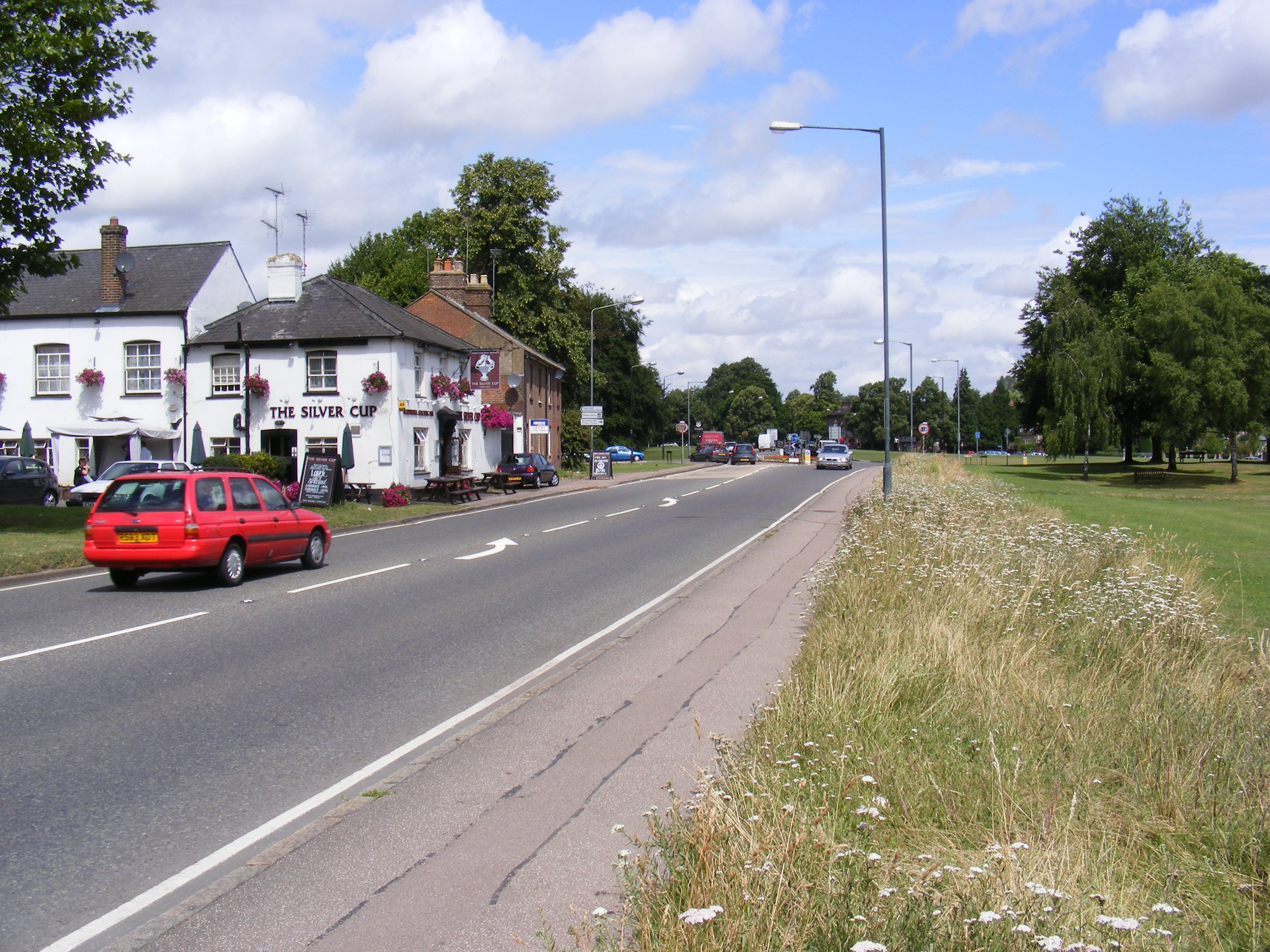
Despite its small size, Childwick Green is home to a close-knit community. The hamlet has a community hall that serves as a venue for various social events and gatherings throughout the year. Additionally, there is a local pub that provides a gathering place for residents and visitors alike.
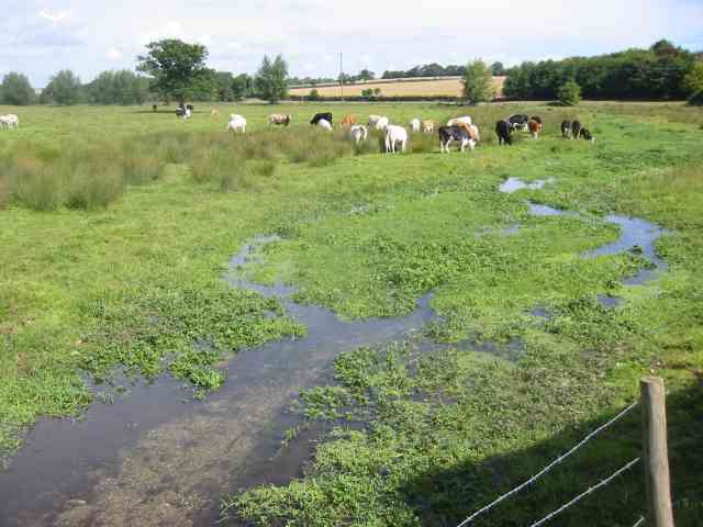
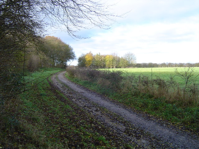
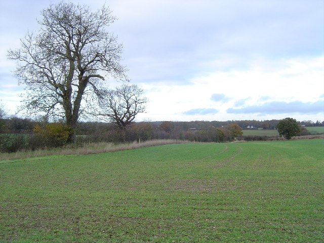
The surrounding countryside offers stunning views and ample opportunities for outdoor activities. The area is crisscrossed with footpaths and bridleways, making it popular among hikers, cyclists, and horse riders. The nearby Verulamium Park, with its lake and Roman remains, provides a scenic spot for leisurely walks and picnics.
Childwick Green benefits from its close proximity to St Albans, a historic city known for its Roman heritage and magnificent cathedral. St Albans offers a wide range of amenities, including shops, restaurants, and entertainment options, making it easily accessible for the residents of Childwick Green.
Overall, Childwick Green is a charming and picturesque hamlet that offers a peaceful and rural lifestyle within easy reach of the amenities provided by the nearby city of St Albans.
If you have any feedback on the listing, please let us know in the comments section below.
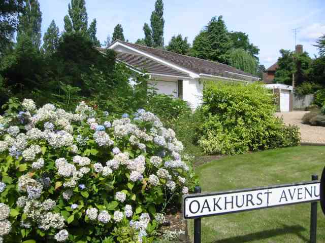
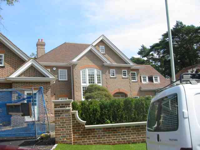
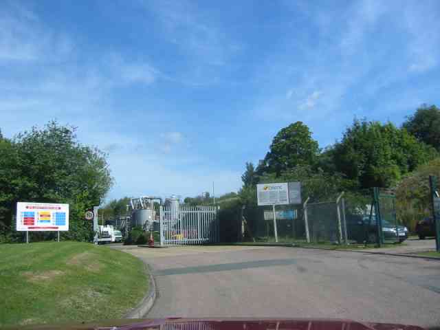
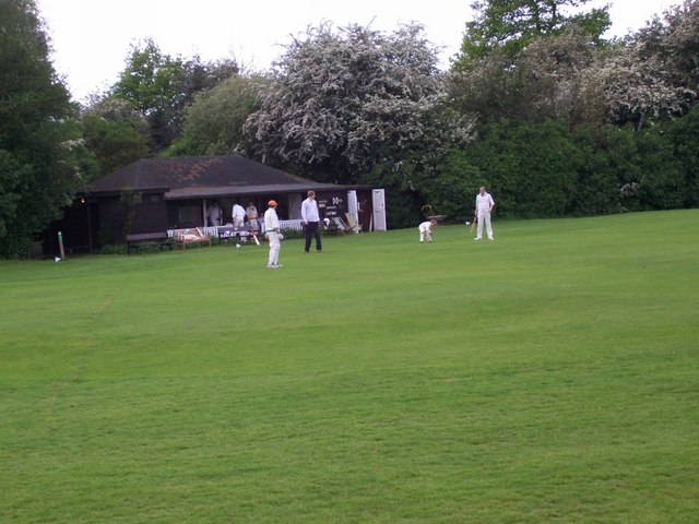
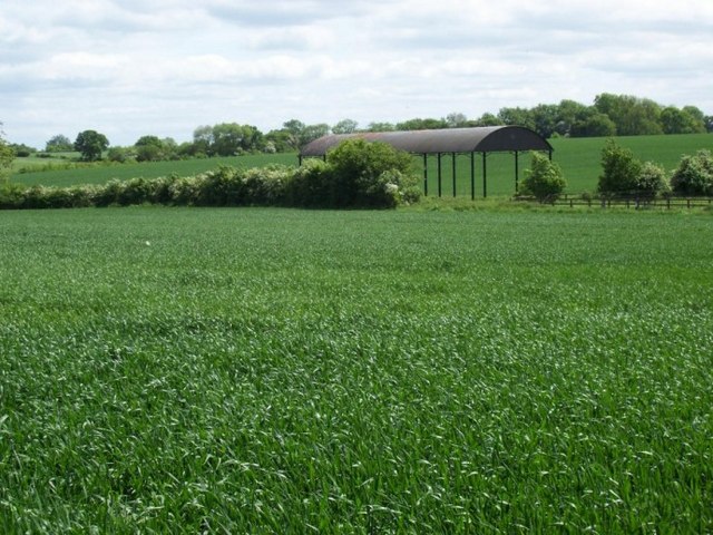
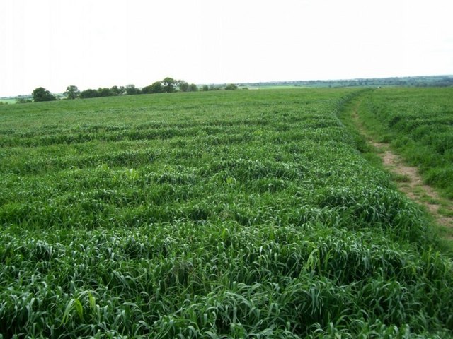
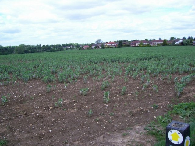
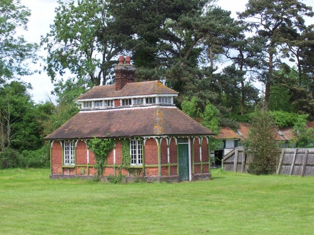
Childwick Green Images
Images are sourced within 2km of 51.783611/-0.34688534 or Grid Reference TL1410. Thanks to Geograph Open Source API. All images are credited.


Childwick Green is located at Grid Ref: TL1410 (Lat: 51.783611, Lng: -0.34688534)
Administrative County: Hertfordshire
District: St. Albans
Police Authority: Hertfordshire
What 3 Words
///force.held.card. Near Harpenden, Hertfordshire
Nearby Locations
Related Wikis

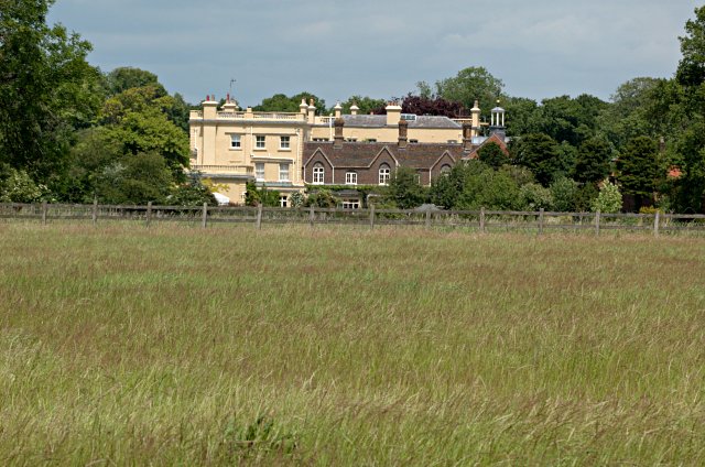
Childwickbury
Childwickbury is a hamlet in Hertfordshire, England lying to the north of St Albans in the parish of St Michael. Childwickbury Manor was home to Stanley...
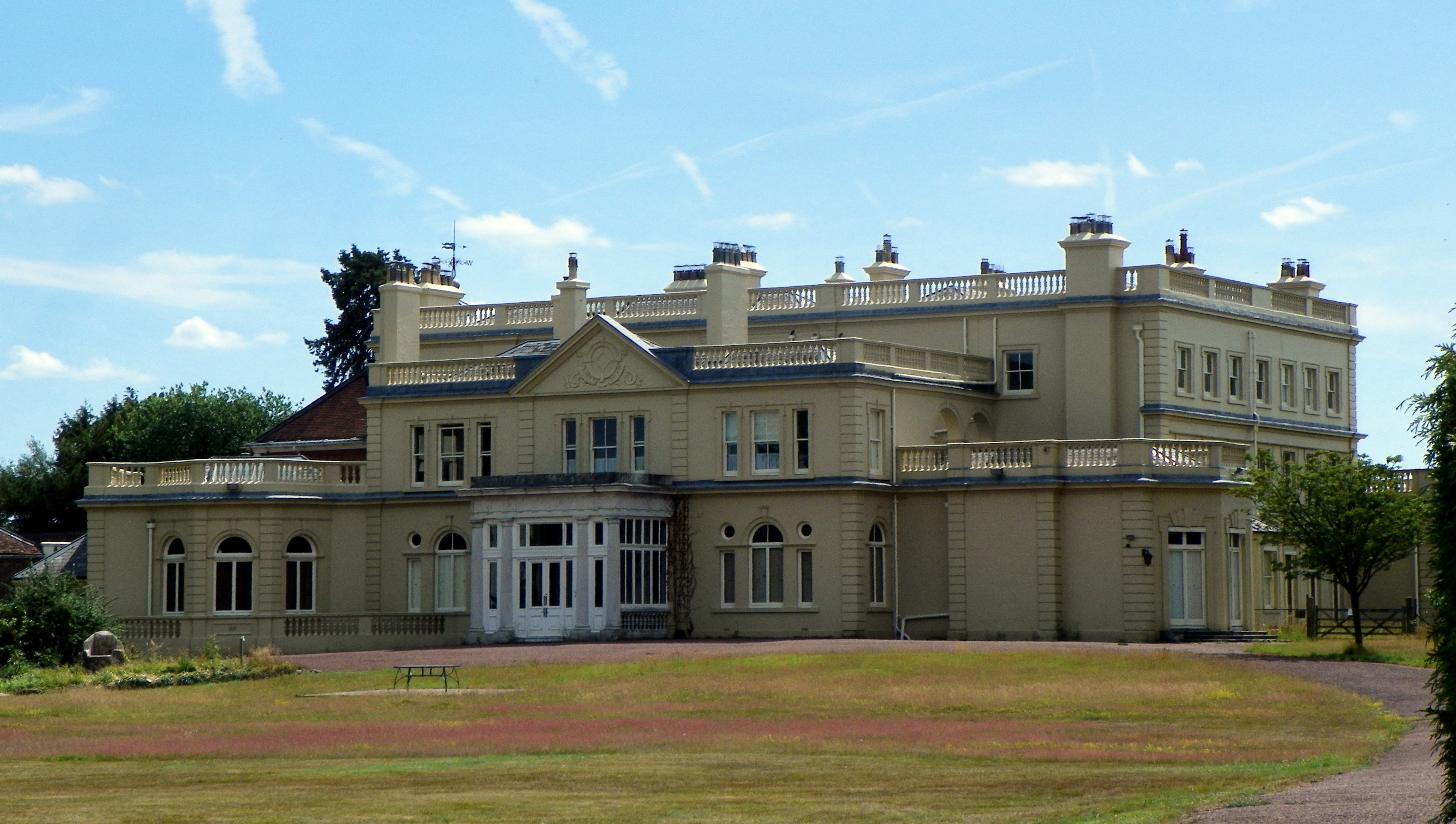
Childwickbury Manor
Childwickbury Manor is a manor house in the hamlet of Childwickbury, Hertfordshire, England, between St Albans and Harpenden. == History == The Lomax family...

Childwickbury Stud
Childwickbury Stud is a Thoroughbred horse breeding farm near St Albans, Hertfordshire, England. Originally built in 1888 by Sir John Blundell Maple as...

St Albans City and District
St Albans (), commonly known as the City and District of St Albans, is a local government district with city status in Hertfordshire, England. Its council...
Townsend Church of England School
Townsend Church of England School is a voluntary aided secondary school based in St Albans, Hertfordshire, England. The students attending are aged between...
A1081 road
The A1081 is a road in the south of England. It starts at Luton Airport in Bedfordshire and runs to High Barnet in Greater London via Harpenden, St Albans...

St Albans Girls' School
St Albans Girls' School, usually referred to as STAGS, is a girls' secondary school in St Albans, Hertfordshire. It was formerly known as "St Albans Girls...
Ahm House
The Ahm House at 44 West Common Way is a house in Harpenden in Hertfordshire, England. It was built between 1961 and 1963 by the structural engineer Povl...
Nearby Amenities
Located within 500m of 51.783611,-0.34688534Have you been to Childwick Green?
Leave your review of Childwick Green below (or comments, questions and feedback).