Elderslie
Settlement in Renfrewshire
Scotland
Elderslie
Elderslie is a small village located in the council area of Renfrewshire, Scotland. Situated approximately 10 miles west of the city of Glasgow, it is bordered by the nearby towns of Paisley and Johnstone. With a population of around 5,000 residents, Elderslie is a close-knit community known for its friendly atmosphere and strong sense of community spirit.
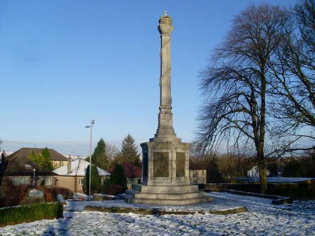
The village is steeped in history, with its origins dating back to the 12th century. It is most famous for being the birthplace of Sir William Wallace, a Scottish knight and leader during the Wars of Scottish Independence. A statue commemorating Wallace can be found in the village.
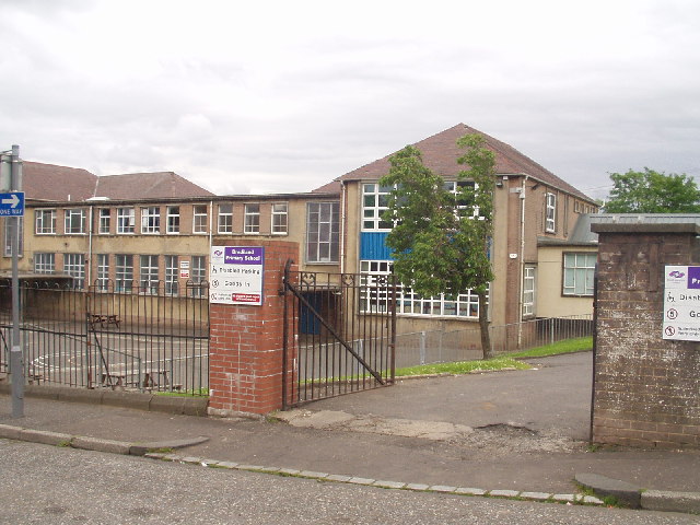
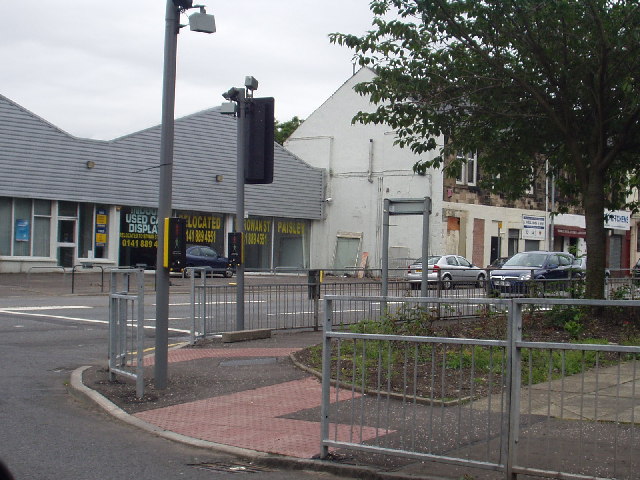
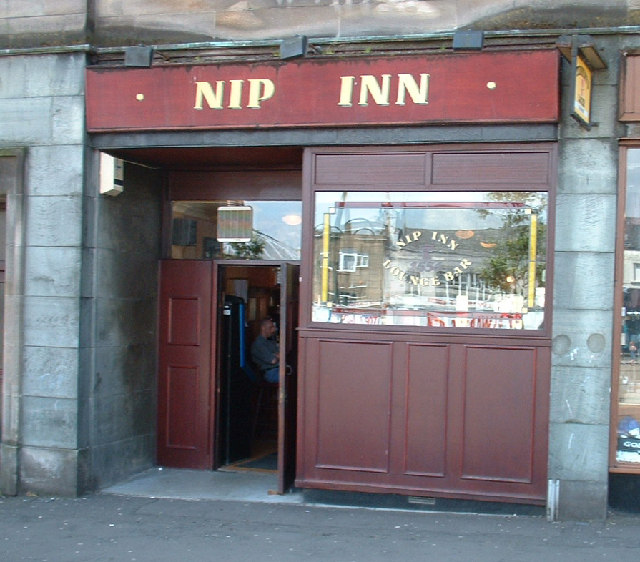
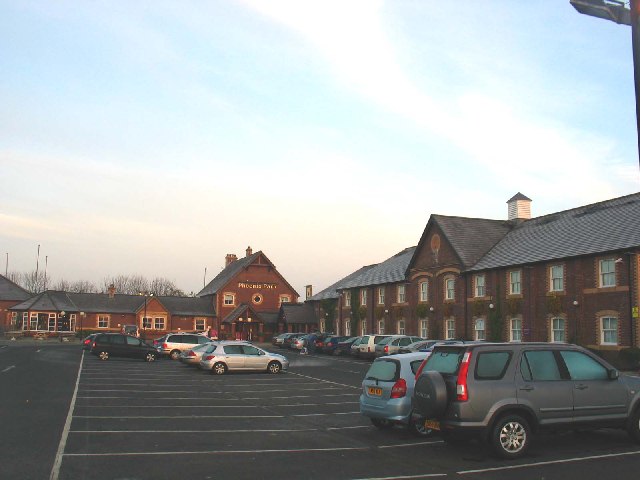
Elderslie offers a range of amenities to its residents, including shops, cafes, and restaurants. The village also has a primary school and a community center, which hosts various events and activities throughout the year. Outdoor enthusiasts can enjoy the nearby countryside, with several parks and green spaces in the surrounding area.
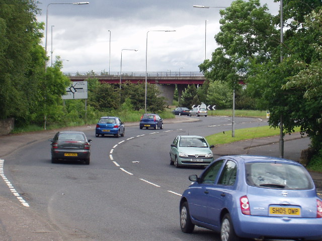
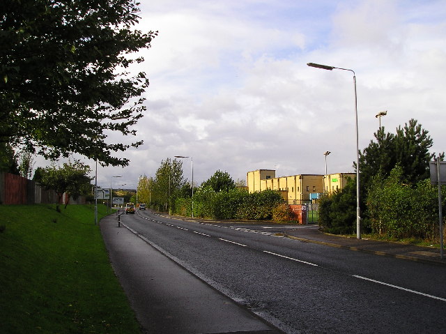
Transport links in Elderslie are excellent, with regular bus services connecting the village to neighboring towns and cities. The M8 motorway is easily accessible, providing convenient access to Glasgow and other parts of Scotland.
Overall, Elderslie is a charming village that combines its rich history with a modern and welcoming community. Its convenient location, range of amenities, and strong sense of community make it an attractive place to live for both families and professionals.
If you have any feedback on the listing, please let us know in the comments section below.
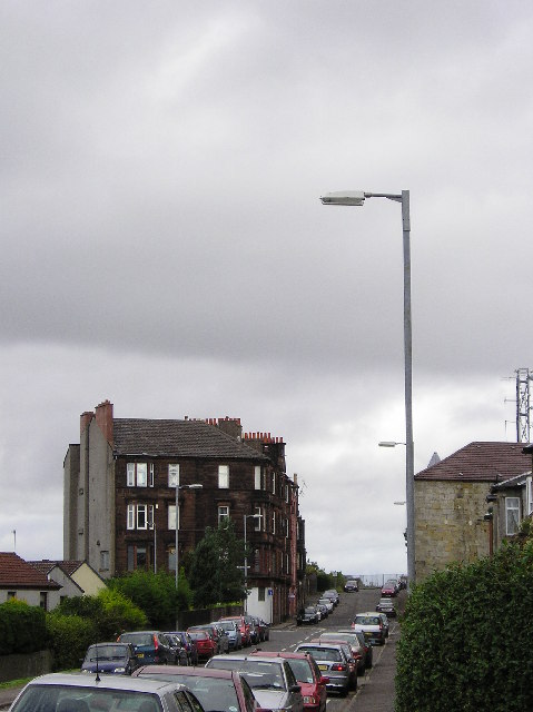
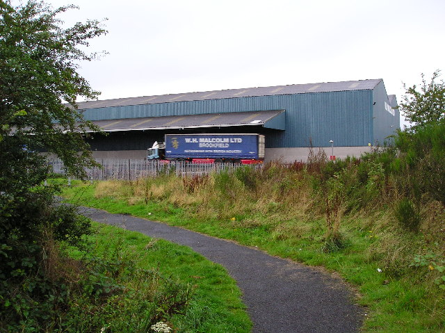
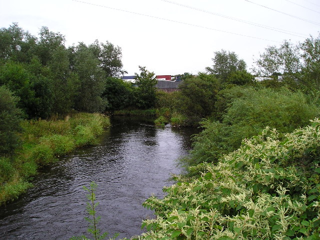
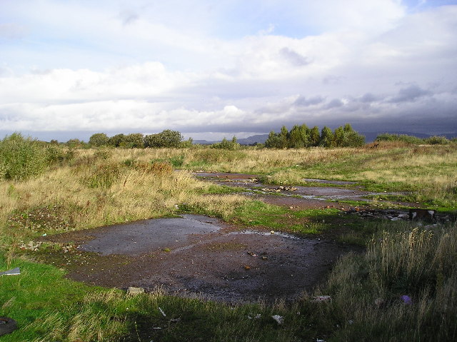
Elderslie Images
Images are sourced within 2km of 55.833174/-4.484448 or Grid Reference NS4462. Thanks to Geograph Open Source API. All images are credited.


Elderslie is located at Grid Ref: NS4462 (Lat: 55.833174, Lng: -4.484448)
Unitary Authority: Renfrewshire
Police Authority: Renfrewshire and Inverclyde
What 3 Words
///stay.gets.banks. Near Elderslie, Renfrewshire
Nearby Locations
Related Wikis
Elderslie, Scotland
Elderslie (Scottish Gaelic: Achadh na Feàrna) is a village in the council area and historic county of Renfrewshire in west central Scotland. It chiefly...
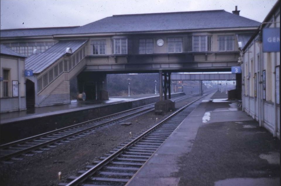
Elderslie railway station
Elderslie railway station was a railway station serving the west of Elderslie, Scotland, originally as part of the Glasgow, Paisley, Kilmarnock and Ayr...

Johnstone Burgh F.C.
Johnstone Burgh Football Club is a Scottish football club based in Johnstone, Renfrewshire, and play in West of Scotland League First Division. == Current... ==

Renfrew (district)
Renfrew District (Scottish Gaelic: Sgìre Rinn Friù) was, between 1975 and 1996, one of nineteen local government districts in the Strathclyde region of...
Nearby Amenities
Located within 500m of 55.833174,-4.484448Have you been to Elderslie?
Leave your review of Elderslie below (or comments, questions and feedback).