Eldindean
Settlement in Midlothian
Scotland
Eldindean
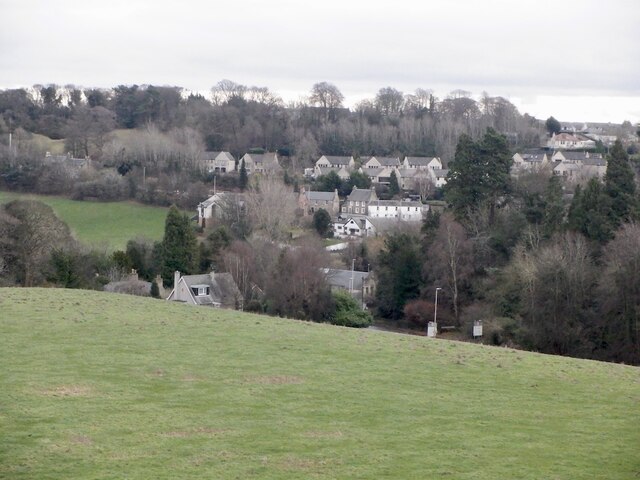
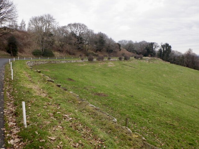
Eldindean is a small village located in the county of Midlothian, Scotland. Situated approximately 15 miles south of Edinburgh, it is nestled within a picturesque rural landscape, surrounded by rolling hills and open countryside. The village is part of a larger community known as the "Scottish Borders," which encompasses several nearby settlements.
Historically, Eldindean has its roots dating back to the medieval period, with evidence of human habitation found in the area. The village grew in importance during the 18th and 19th centuries when it became a center for agriculture and farming. Today, remnants of this agricultural heritage can still be seen in the form of traditional stone-built farmhouses and barns scattered throughout the village.
Despite its small size, Eldindean offers a range of amenities and services to its residents. These include a primary school, a local church, and a few small businesses such as a convenience store and a post office. The village also benefits from good transportation links, with regular bus services connecting it to nearby towns and cities.
One of the main attractions of Eldindean is its natural beauty and tranquility. The surrounding countryside provides ample opportunities for outdoor activities such as hiking, cycling, and horse riding. Additionally, the village is located close to several notable landmarks and tourist destinations, including the historic Rosslyn Chapel and the Pentland Hills Regional Park.
In summary, Eldindean is a charming village in Midlothian, Scotland, known for its rural charm, historical significance, and proximity to natural landscapes and cultural sites.
If you have any feedback on the listing, please let us know in the comments section below.
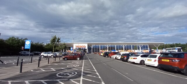
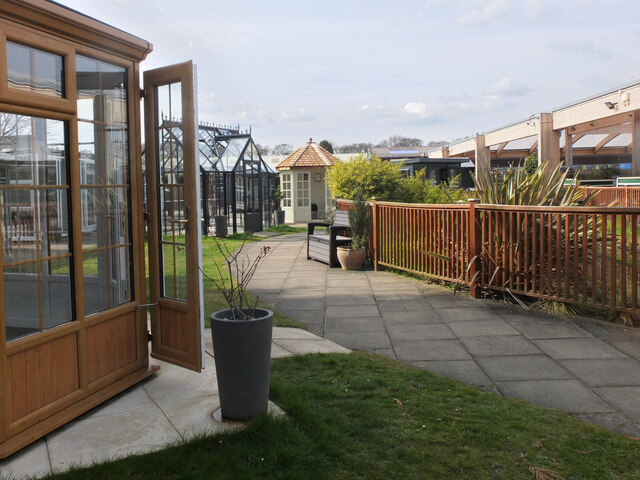
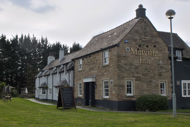
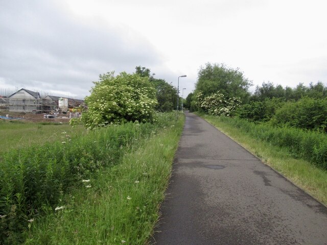
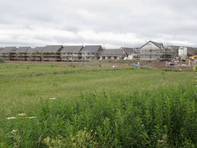
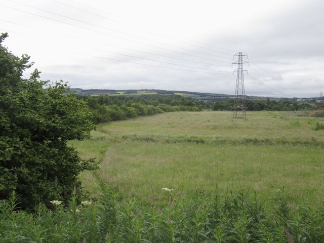
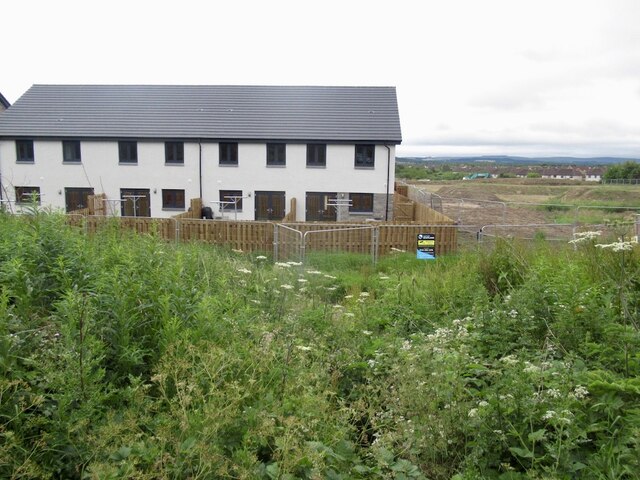
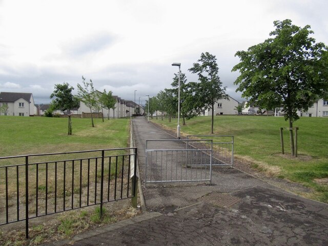
Eldindean Images
Images are sourced within 2km of 55.879441/-3.101834 or Grid Reference NT3165. Thanks to Geograph Open Source API. All images are credited.


Eldindean is located at Grid Ref: NT3165 (Lat: 55.879441, Lng: -3.101834)
Unitary Authority: Midlothian
Police Authority: The Lothians and Scottish Borders
What 3 Words
///stud.ticket.flops. Near Bonnyrigg, Midlothian
Related Wikis
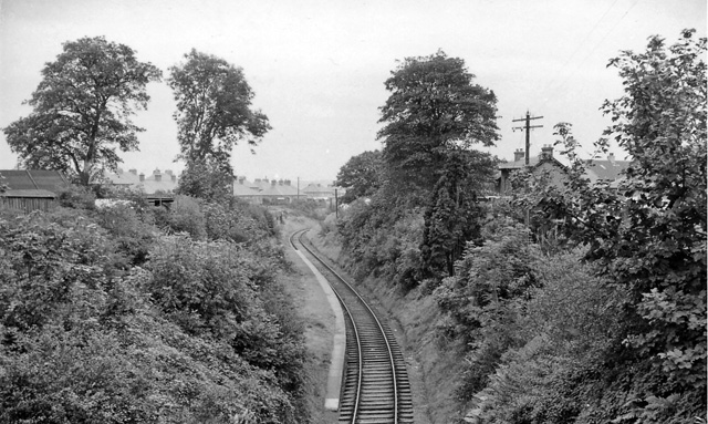
Broomieknowe railway station
Broomieknowe railway station served the town of Bonnyrigg, Midlothian, Scotland from 1867 to 1951 on the Esk Valley Railway. == History == The station...

Bonnyrigg
Bonnyrigg is a town in Midlothian, Scotland, which is eight miles (13 kilometres) southeast of Edinburgh city centre, between the Rivers North and South...
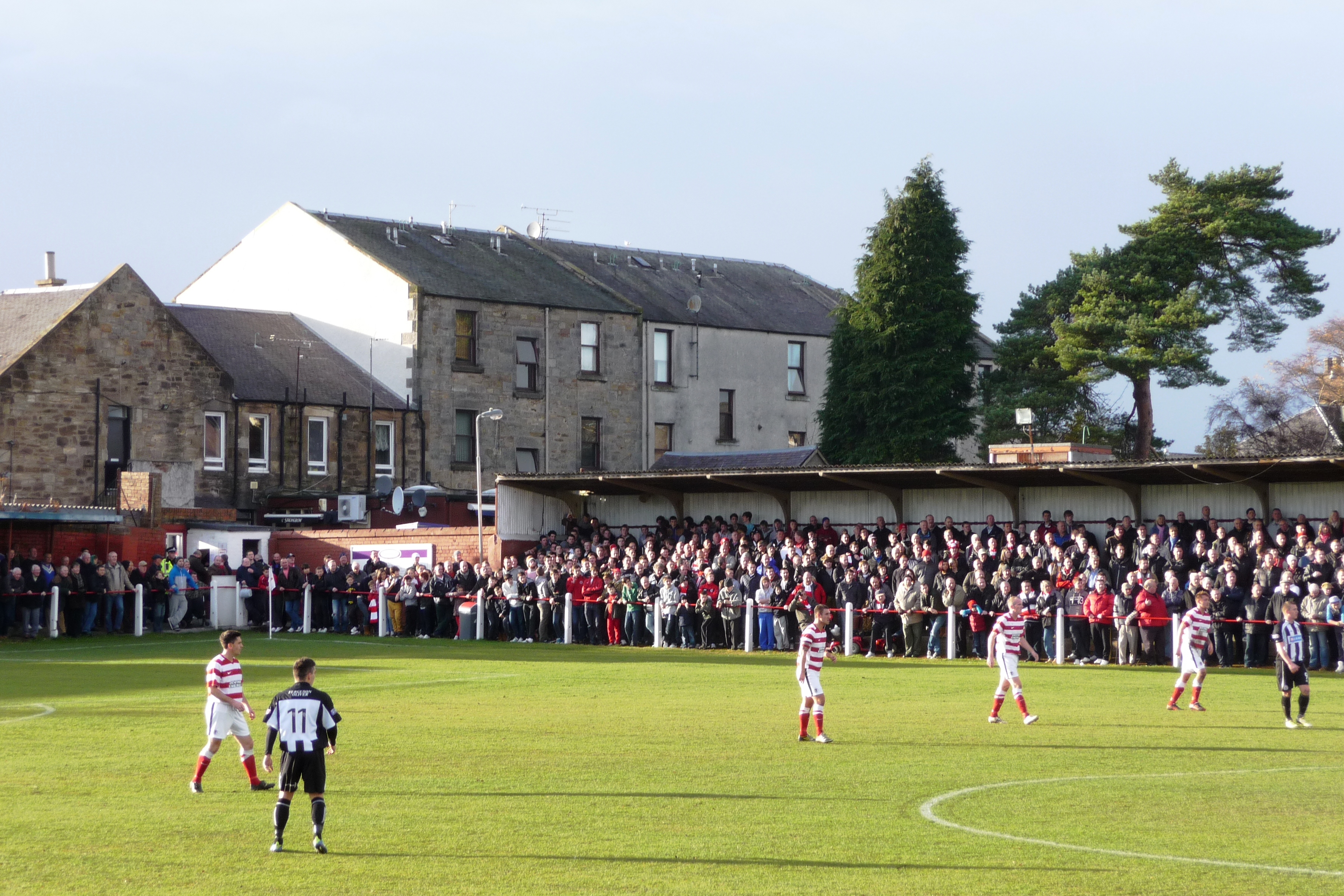
New Dundas Park
New Dundas Park is a stadium in Bonnyrigg, Scotland. It is used mostly for football matches as the home ground of Bonnyrigg Rose. The stadium has a capacity...
Bonnyrigg Rose F.C.
Bonnyrigg Rose Football Club is a Scottish football club from the town of Bonnyrigg, Scotland. Formed in 1881 and nicknamed the Rose, the team plays in...
Nearby Amenities
Located within 500m of 55.879441,-3.101834Have you been to Eldindean?
Leave your review of Eldindean below (or comments, questions and feedback).