Glen Patrick
Valley in Renfrewshire
Scotland
Glen Patrick

Glen Patrick, located in Renfrewshire, is a picturesque valley nestled in the southwestern region of Scotland. This small valley is renowned for its stunning natural beauty and tranquil atmosphere, making it a popular destination for nature lovers and outdoor enthusiasts.
Surrounded by rolling hills and dense forests, Glen Patrick offers a plethora of opportunities for hiking, cycling, and wildlife spotting. The valley is home to a diverse range of flora and fauna, including red deer, buzzards, and various species of wildflowers. The scenic walking trails and paths allow visitors to explore the valley's stunning landscapes at their own pace.
The River Patrick flows through the heart of the valley, adding to its charm and creating picturesque scenes. The river is a haven for fishing enthusiasts, offering a chance to catch salmon and trout in its clear waters.
In addition to its natural attractions, Glen Patrick also boasts historical significance. The remains of several ancient settlements and structures can be found in the valley, providing a glimpse into the region's rich history. These archaeological sites offer a fascinating insight into the lives of past inhabitants and are of great interest to history enthusiasts.
Visitors to Glen Patrick can also enjoy the warm hospitality of the local community. The valley is home to a small village, which offers amenities such as accommodation, quaint cafes, and traditional pubs, allowing visitors to relax and refuel after a day exploring the valley.
Overall, Glen Patrick in Renfrewshire is a hidden gem that showcases Scotland's natural beauty and provides a peaceful retreat for those seeking a break from the hustle and bustle of everyday life.
If you have any feedback on the listing, please let us know in the comments section below.
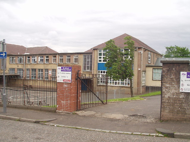
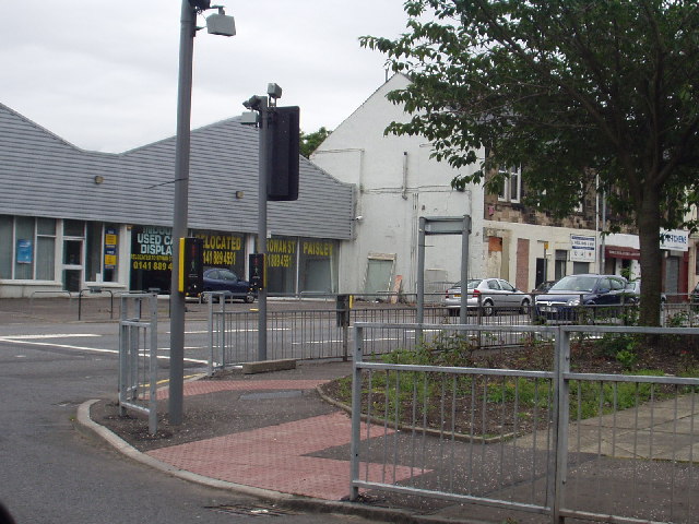
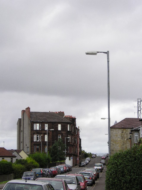
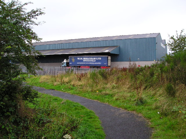
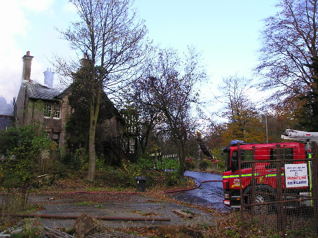
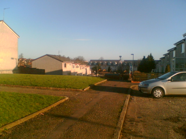
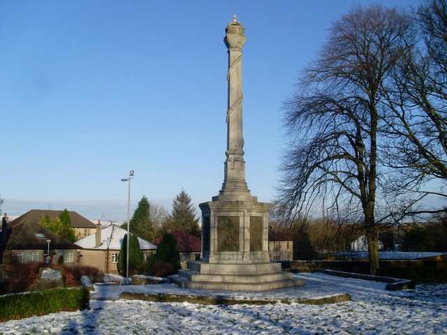
Glen Patrick Images
Images are sourced within 2km of 55.826221/-4.4833399 or Grid Reference NS4462. Thanks to Geograph Open Source API. All images are credited.


Glen Patrick is located at Grid Ref: NS4462 (Lat: 55.826221, Lng: -4.4833399)
Unitary Authority: Renfrewshire
Police Authority: Renfrewshire and Inverclyde
What 3 Words
///look.help.window. Near Elderslie, Renfrewshire
Nearby Locations
Related Wikis
Elderslie, Scotland
Elderslie (Scottish Gaelic: Achadh na Feàrna) is a village in the council area and historic county of Renfrewshire in west central Scotland. It chiefly...

Johnstone Burgh F.C.
Johnstone Burgh Football Club is a Scottish football club based in Johnstone, Renfrewshire, and play in West of Scotland League First Division. == Current... ==

Renfrew (district)
Renfrew District (Scottish Gaelic: Sgìre Rinn Friù) was, between 1975 and 1996, one of nineteen local government districts in the Strathclyde region of...

Renfrewshire (historic)
Renfrewshire or the County of Renfrew is a historic county, registration county and lieutenancy area in the west central Lowlands of Scotland. The lieutenancy...

Paisley and Renfrewshire South (UK Parliament constituency)
Paisley and Renfrewshire South is a constituency of the House of Commons, located in Renfrewshire, Scotland to the southwest of Glasgow. It elects one...

Foxbar
Foxbar is a district of Paisley, bordered by the Gleniffer Braes and Paisley town centre. Consisting mostly of residential areas, Foxbar has rapidly grown...
Gleniffer Braes
Gleniffer Braes ("brae" being the Scots language word for the slope or brow of a hill) is a short range of hills and park area to the south of Paisley...
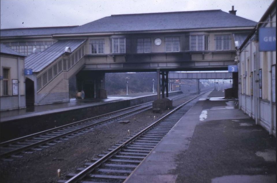
Elderslie railway station
Elderslie railway station was a railway station serving the west of Elderslie, Scotland, originally as part of the Glasgow, Paisley, Kilmarnock and Ayr...
Nearby Amenities
Located within 500m of 55.826221,-4.4833399Have you been to Glen Patrick?
Leave your review of Glen Patrick below (or comments, questions and feedback).