Austacre Wood

Wood, Forest in Lincolnshire West Lindsey

England

Austacre Wood

Track alongside North Spring Wood
Track alongside North Spring Wood Credit: Jonathan Thacker

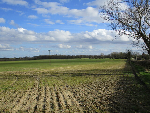
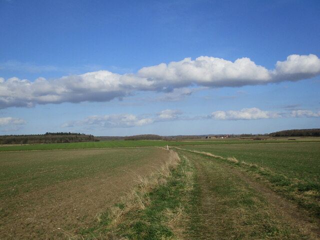
Austacre Wood is a picturesque woodland located in Lincolnshire, England. Covering an area of approximately 100 acres, it is a popular destination for nature enthusiasts and those seeking a peaceful retreat. The wood is situated near the village of Austenby, in the heart of the Lincolnshire countryside.

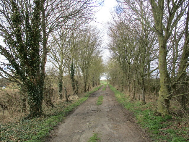
The wood is predominantly made up of deciduous trees, including oak, ash, and birch, which create a diverse and vibrant ecosystem. It is home to a wide range of flora and fauna, including various species of birds, mammals, and insects. The woodland floor is covered in a carpet of bluebells during the springtime, adding to its natural beauty.

Austacre Wood offers several walking trails, allowing visitors to explore the area at their own pace. The paths wind through the trees, offering glimpses of the surrounding countryside. Along the way, there are information boards highlighting the different tree species and wildlife that can be found in the wood.

The wood also has a picnic area, providing a perfect spot for visitors to enjoy a packed lunch amidst the peaceful surroundings. Additionally, there are benches scattered throughout the woodland, offering opportunities for rest and reflection.

Austacre Wood is owned and managed by the local council, ensuring its preservation and maintenance. It is open to the public throughout the year, with no entry fee. The wood provides a tranquil escape from the hustle and bustle of everyday life, making it a popular destination for both locals and tourists alike.

If you have any feedback on the listing, please let us know in the comments section below.

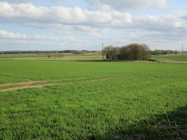
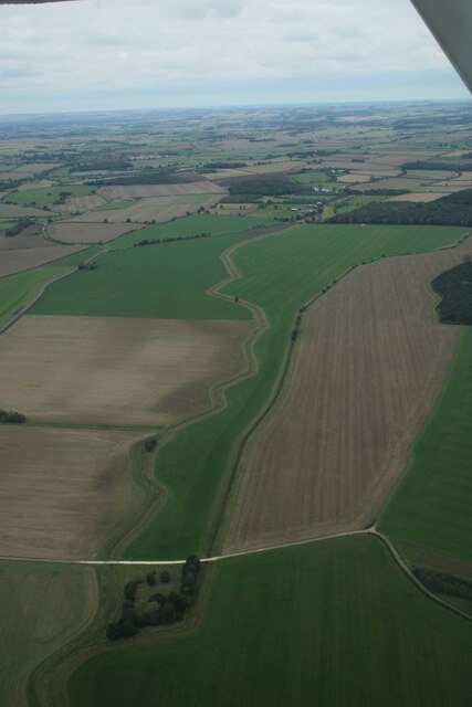
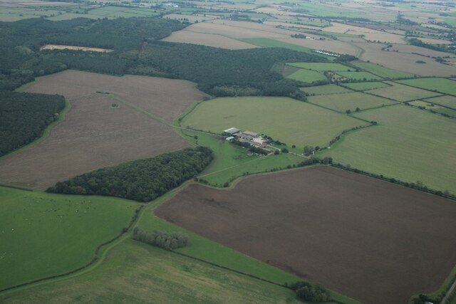
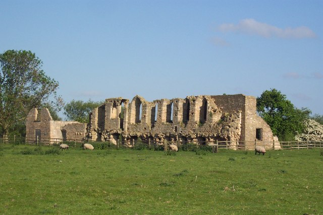
Austacre Wood Images

Images are sourced within 2km of 53.231332/-0.28392224 or Grid Reference TF1471. Thanks to Geograph Open Source API. All images are credited.

Track alongside North Spring Wood
Stubble fields and row of brassicas The brassicas seem to be substituting for a hedge or fence. They also mark the boundary between the parishes of Tupholme (left) and Gautby.
Knowles Wood in the distance.
Stubble fields and row of brassicas
The brassicas seem to be substituting for a hedge or fence. They also mark the boundary between the parishes of Tupholme (left) and Gautby. Knowles Wood in the distance.
Track in The Gorse Part of the Lincolnshire Limewoods National Nature Reserve,
Track in The Gorse
Part of the Lincolnshire Limewoods National Nature Reserve,
Farm track near Lowfield Farm
Former route of Henry Lane Now leads to a bridleway.
Former route of Henry Lane
Now leads to a bridleway.
Autumn sown crop near Moat House Farm The Gorse in the distance.
Autumn sown crop near Moat House Farm
The Gorse in the distance.
Farm track, Bardney Dairies
Straw stacks on site of former RAF Bardney
Bardney Dairies The field appears to have a crop of Phacelia tanacetifolia.
Bardney Dairies
The field appears to have a crop of Phacelia tanacetifolia.
Autumn sown crop and New Park Wood
Industrial site near Bardney Developed on the site of former RAF Bardney.
Industrial site near Bardney
Developed on the site of former RAF Bardney.
Grass field near Lowfield Farm
Prepared field off Henry Lane
Bridleway to the B1202 Follows the line of the hedge.
Bridleway to the B1202
Follows the line of the hedge.
Bardney Dairies towards Chambers Wood: aerial 2022
Minting Park Farm to Chambers Wood: aerial 2022
Former RAF Bardney airfield: aerial 2022 (1) RAF Bardney opened in 1943 and was built as a Class 'A' bomber airfield for 5 Group. It was home to No.9 Squadron's Lancasters for most of its wartime life with 189 and 227 squadron also spending some months on the station. The Bomber Command Film Unit was formed and based at Bardney in the latter stages of the war. 

After the war Thor Medium Range Ballistic Missiles were based at Bardney from 1959 until 1963. In the intervening years from 1945 to 1958 the station was used for British Arm vehicle storage.
Former RAF Bardney airfield: aerial 2022 (1)
RAF Bardney opened in 1943 and was built as a Class 'A' bomber airfield for 5 Group. It was home to No.9 Squadron's Lancasters for most of its wartime life with 189 and 227 squadron also spending some months on the station. The Bomber Command Film Unit was formed and based at Bardney in the latter stages of the war. After the war Thor Medium Range Ballistic Missiles were based at Bardney from 1959 until 1963. In the intervening years from 1945 to 1958 the station was used for British Arm vehicle storage.
Former RAF Bardney airfield: aerial 2022 (2) RAF Bardney opened in 1943 and was built as a Class 'A' bomber airfield for 5 Group. It was home to No.9 Squadron's Lancasters for most of its wartime life with 189 and 227 squadron also spending some months on the station. The Bomber Command Film Unit was formed and based at Bardney in the latter stages of the war. 

After the war Thor Medium Range Ballistic Missiles were based at Bardney from 1959 until 1963. In the intervening years from 1945 to 1958 the station was used for British Arm vehicle storage.
Former RAF Bardney airfield: aerial 2022 (2)
RAF Bardney opened in 1943 and was built as a Class 'A' bomber airfield for 5 Group. It was home to No.9 Squadron's Lancasters for most of its wartime life with 189 and 227 squadron also spending some months on the station. The Bomber Command Film Unit was formed and based at Bardney in the latter stages of the war. After the war Thor Medium Range Ballistic Missiles were based at Bardney from 1959 until 1963. In the intervening years from 1945 to 1958 the station was used for British Arm vehicle storage.
Show me another place!

Austacre Wood is located at Grid Ref: TF1471 (Lat: 53.231332, Lng: -0.28392224)

Administrative County: Lincolnshire

District: West Lindsey

Police Authority: Lincolnshire

What 3 Words

///purses.marine.launched. Near Bardney, Lincolnshire

Nearby Locations

Austacre Wood

Related Wikis

RAF Bardney

Royal Air Force Bardney or RAF Bardney is a former Royal Air Force station located 2 miles (3.2 km) north of Bardney, Lincolnshire, England and 10 miles...

Burreth, Lincolnshire

Burreth (also occasionally Burgrede) is a now-deserted village in Lincolnshire. == Medieval village == In the late 13th century, the manor of Burreth was...

Gautby

Gautby ( GAWT-bee) is a village in the East Lindsey district of Lincolnshire, England. The village is situated 6 miles (10 km) north-west from the town...

Snakeholme Pit

Snakeholme Pit is a nature reserve near Langworth in the county of Lincolnshire, England, managed and owned by Butterfly Conservation. It is 2 acres.Animals...

Kingthorpe railway station

Kingthorpe railway station was a railway station that served the village of Kingthorpe, Lincolnshire, England between 1874 and 1956, on the Louth to Bardney...

Tupholme

Tupholme is a village in the East Lindsey district of Lincolnshire, England. It is situated 11 miles (18 km) east from Lincoln, and is the site of the...

Bardney

Bardney is a village and civil parish in the West Lindsey district of Lincolnshire, England. The population of the civil parish was 1,643 at the 2001 census...

Bardney Abbey

Bardney Abbey in Lincolnshire, England, was a Benedictine monastery founded in 697 by King Æthelred of Mercia, who was to become the first abbot. The monastery...

Nearby Amenities

Located within 500m of 53.231332,-0.28392224
The data included in this document is from www.openstreetmap.org. The data is made available under ODbL.

Have you been to Austacre Wood?

Leave your review of Austacre Wood below (or comments, questions and feedback).