Church Wood

Wood, Forest in Sussex Horsham

England

Church Wood

Yard in Knepp Estate The yard near the farm buildings of Knepp Estate, taken on a very hot day.
Yard in Knepp Estate Credit: Pebble

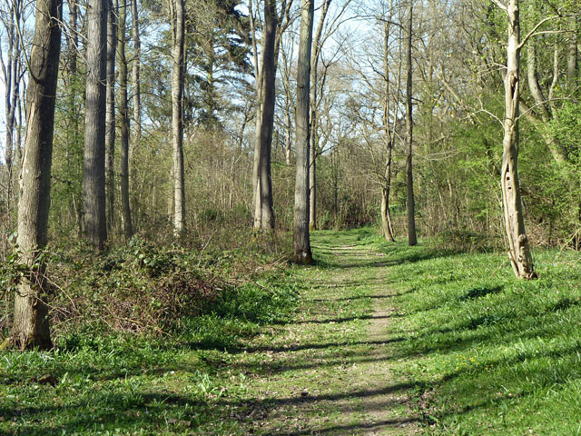
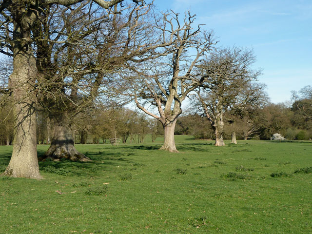
Church Wood is a picturesque woodland located in Sussex, England. Covering an area of approximately 100 acres, it is a notable example of a mixed broadleaf forest. The wood is characterized by its diverse range of tree species, including oak, beech, ash, and hazel, which create a rich and vibrant canopy throughout the year.

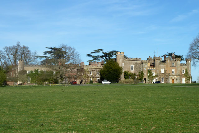
The woodland has a long history, with records dating back to the 13th century when it was part of a larger estate. It is believed that the wood was once owned by a local church, hence its name. Today, it is managed by a conservation organization, which aims to preserve its natural beauty and protect the wildlife that calls it home.

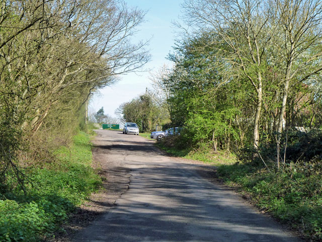
Church Wood offers a peaceful and serene environment for visitors to enjoy. It features numerous walking trails that wind through the trees, providing opportunities for leisurely strolls and wildlife spotting. The forest floor is carpeted with a variety of wildflowers, adding to the wood's charm and attracting an array of butterflies and insects.

The wood is also a haven for wildlife, with a diverse range of species inhabiting its grounds. Visitors may spot deer, foxes, badgers, and a variety of bird species, including woodpeckers and owls. The woodland's management practices prioritize biodiversity, creating habitats that support a wide range of flora and fauna.

Overall, Church Wood in Sussex is a captivating natural treasure, offering visitors a chance to immerse themselves in the beauty of a traditional English woodland and connect with nature.

If you have any feedback on the listing, please let us know in the comments section below.

Church Wood Images

Images are sourced within 2km of 50.985765/-0.36814818 or Grid Reference TQ1421. Thanks to Geograph Open Source API. All images are credited.

Yard in Knepp Estate The yard near the farm buildings of Knepp Estate, taken on a very hot day.
Yard in Knepp Estate
The yard near the farm buildings of Knepp Estate, taken on a very hot day.
Worthing Road - old course A small loop off the A24 dual carriageway serving a few houses. This was the original course of the road, but the width may have been reduced, as the road is mapped coming this way when it was already classified as an A road.
Worthing Road - old course
A small loop off the A24 dual carriageway serving a few houses. This was the original course of the road, but the width may have been reduced, as the road is mapped coming this way when it was already classified as an A road.
Knepp Castle The hub of a well kept estate.
Knepp Castle
The hub of a well kept estate.
Bridleway bridge, Knepp Castle estate Across the small River Adur.
Bridleway bridge, Knepp Castle estate
Across the small River Adur.
Lancing Brook One of the tributaries of the River Adur.
Lancing Brook
One of the tributaries of the River Adur.
Shipley Mill and Church A nicely restored windmill, used as the fictional home of TV's Jonathan Creek.
Shipley Mill and Church
A nicely restored windmill, used as the fictional home of TV's Jonathan Creek.
Skew-whiff water trough Not much use now, but how did it get like this?
Skew-whiff water trough
Not much use now, but how did it get like this?
Penbridge Lane Bridleway 1882 has recently been improved with better drainage and a good wearing surface.
Penbridge Lane
Bridleway 1882 has recently been improved with better drainage and a good wearing surface.
Memorial trees by former Coolham airfield Most of the trees along the path and several more behind the viewpoint are memorials to those who died working out of Coolham A.L.G. Airfield in spring 1944. The end of the airfield is on the right, although there is no sign of it now, apart from the arrangement of fence lines and rights-of-way around a large level area. This was a temporary airfield for D-day purposes, A.L.G. standing for Advanced Landing Ground. The dead were eight from the Polish Air Force and seven from the RAF.
Memorial trees by former Coolham airfield
Most of the trees along the path and several more behind the viewpoint are memorials to those who died working out of Coolham A.L.G. Airfield in spring 1944. The end of the airfield is on the right, although there is no sign of it now, apart from the arrangement of fence lines and rights-of-way around a large level area. This was a temporary airfield for D-day purposes, A.L.G. standing for Advanced Landing Ground. The dead were eight from the Polish Air Force and seven from the RAF.
Permissive footpath, Church Wood One of the several public-spirited actions of the Knepp Castle Estate. This leads from the public footpath to Red Lane. There are other permissive paths in the small wood.
Permissive footpath, Church Wood
One of the several public-spirited actions of the Knepp Castle Estate. This leads from the public footpath to Red Lane. There are other permissive paths in the small wood.
Row of oaks, Knepp Castle parkland A public footpath runs along the row. In front of the blooming blackthorn on the right is a fingerpost directing walkers along the castle approach drive.
Row of oaks, Knepp Castle parkland
A public footpath runs along the row. In front of the blooming blackthorn on the right is a fingerpost directing walkers along the castle approach drive.
Belloc's windmill, Shipley, West Sussex The windmill was restored by poet, essayist and parliamentarian, Hilaire Belloc. It was recently sold to new owners who wish to cease access to the public.
Belloc's windmill, Shipley, West Sussex
The windmill was restored by poet, essayist and parliamentarian, Hilaire Belloc. It was recently sold to new owners who wish to cease access to the public.
Cottage on the west side of the A24 To the right of the camera are two cottages named Wharf Cottages as there was a canal wharf nearby. The Baybridge Canal was part of the Adur navigation but at only 3 1/2 miles and the arrival of the Shoreham to Horsham rail line brought an early closure in 1875.
Cottage on the west side of the A24
To the right of the camera are two cottages named Wharf Cottages as there was a canal wharf nearby. The Baybridge Canal was part of the Adur navigation but at only 3 1/2 miles and the arrival of the Shoreham to Horsham rail line brought an early closure in 1875.
North bound carriageway of the A24 near Knepp Castle
Driveway to Knepp Castle
Sign for Free Roaming Animals on the Knepp Castle Estate I was hoping the top symbol wasn't for a Rhino.
Sign for Free Roaming Animals on the Knepp Castle Estate
I was hoping the top symbol wasn't for a Rhino.
Kneppmill Pond on the Knepp Castle Estate
Pig wallowing on the edge of Kneppmill Pond
Show me another place!

Church Wood is located at Grid Ref: TQ1421 (Lat: 50.985765, Lng: -0.36814818)

Administrative County: West Sussex

District: Horsham

Police Authority: Sussex

What 3 Words

///dull.whites.crossword. Near Southwater, West Sussex

Related Wikis

Shipley, West Sussex

Shipley is a village and civil parish in the Horsham District of West Sussex, England. It lies just off the A272 road 6 miles (10 kilometres) north-east...

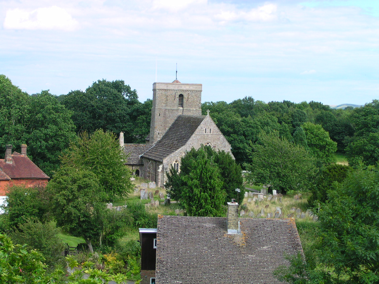
St Mary's Church, Shipley

The Church of St Mary the Virgin is an Anglican church in the village of Shipley, in West Sussex, England. It is in the Diocese of Chichester. Built in...

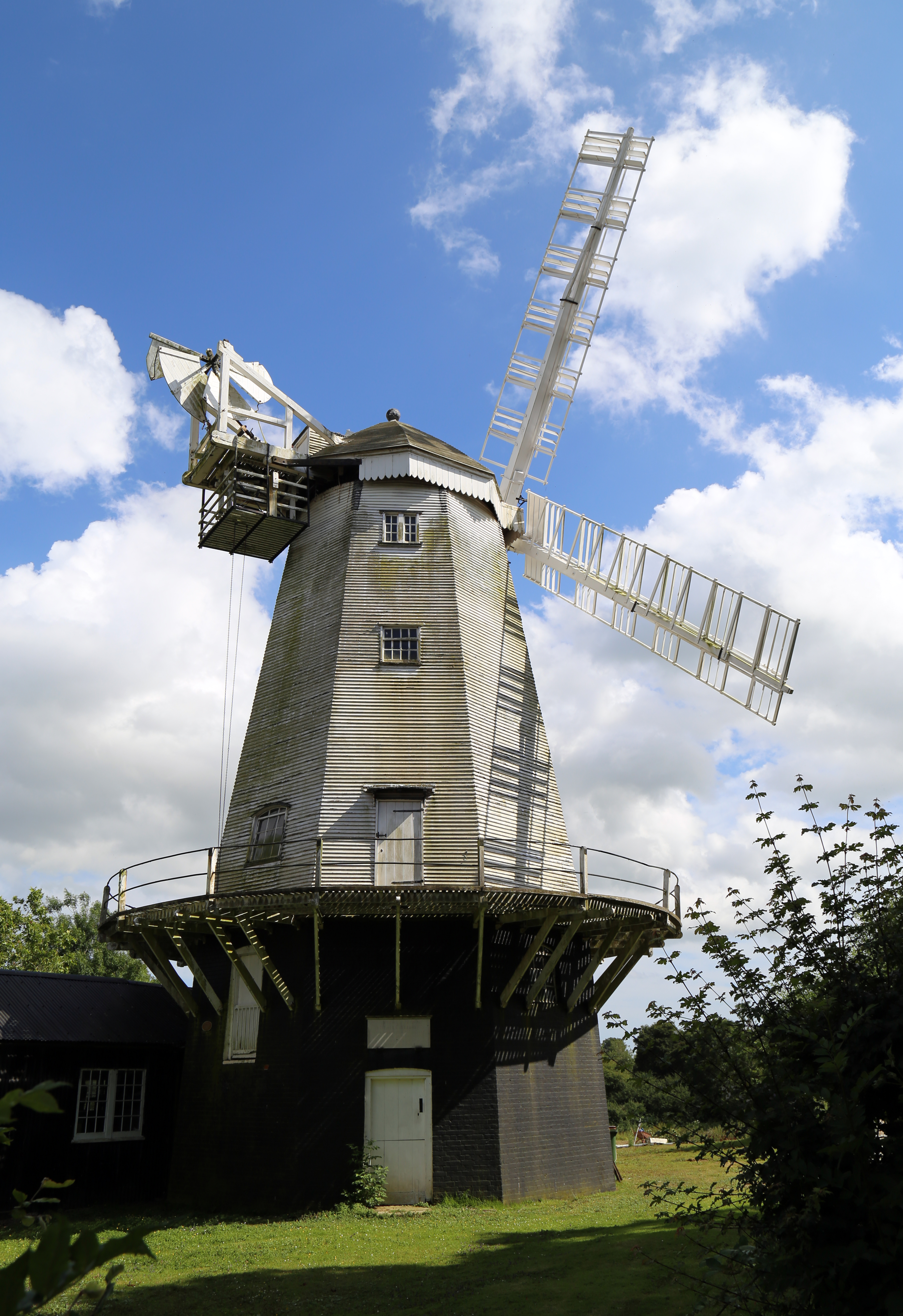
King's Mill, Shipley

King's Mill or Vincent's Mill, Shipley, West Sussex, England, is a smock mill built in 1879. == History == King's Mill was built in 1879 for Friend Martin...

Dragon's Green

Dragon's Green is a hamlet in the civil parish of Shipley, and the Horsham district of West Sussex, England. The hamlet is 5 miles (8 km) south from the...

Nearby Amenities

Located within 500m of 50.985765,-0.36814818
Shipley
Is In: West Sussex, England, UK
Place: village
Wikidata: Q2684261
Lat/Long: 50.9851703/-0.3712602
Barrier: kissing_gate
Bicycle: no
Foot: yes
Lat/Long: 50.9860125/-0.3700678
Post Box
Brand: Royal Mail
Collection Times: Mo-Fr 16:30; Sa 09:15
Operator: Royal Mail
Post Box Mounting: pier
Post Box Type: lamp
Ref: RH13 132
Royal Cypher: EIIR
Royal Cypher Wikidata: Q33102113
Lat/Long: 50.9851517/-0.370922
Entrance: main
Lat/Long: 50.9843257/-0.3704896
Entrance: service
Lat/Long: 50.9842337/-0.3702014
Entrance: main
Lat/Long: 50.9842255/-0.3703676
Church Farm North
Place: farm
Lat/Long: 50.9873135/-0.3742884
Church Farm South
Place: farm
Lat/Long: 50.9824959/-0.3698519
Telephone
Booth: K6
Covered: booth
Listed Status: Grade II
Lat/Long: 50.985158/-0.3709461
The data included in this document is from www.openstreetmap.org. The data is made available under ODbL.

Have you been to Church Wood?

Leave your review of Church Wood below (or comments, questions and feedback).